Search
Category
Tags
Nearby
Location:
Latitude:
Longitude:
0 km
100 km
global.path
km
-
km
m
m
Hike Type
Difficulty
All
Hiking
Snowshoeing
Ski-mountaineering
Mountaineering
Via ferrata
Climbing
Mountain bike
Trekking
Active filters:
Tags: around-saint-vincent
Showing 50 results
with active filters
Loading...
Artse de Proley
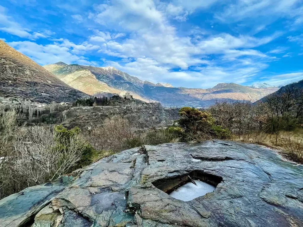
In 1963, during some work to remove the layer of topsoil in order to exploit the rock as a stone...
T2
0.40 Km
21 m
Bellecombe, from the car park on SR10
Bellecombe is a beautiful village nestled on the wooded northern slope of Mont Barbeston. The hike proposed here describes the...
T2
5.62 Km
556 m
Borna da Ghiasa, from Erésaz
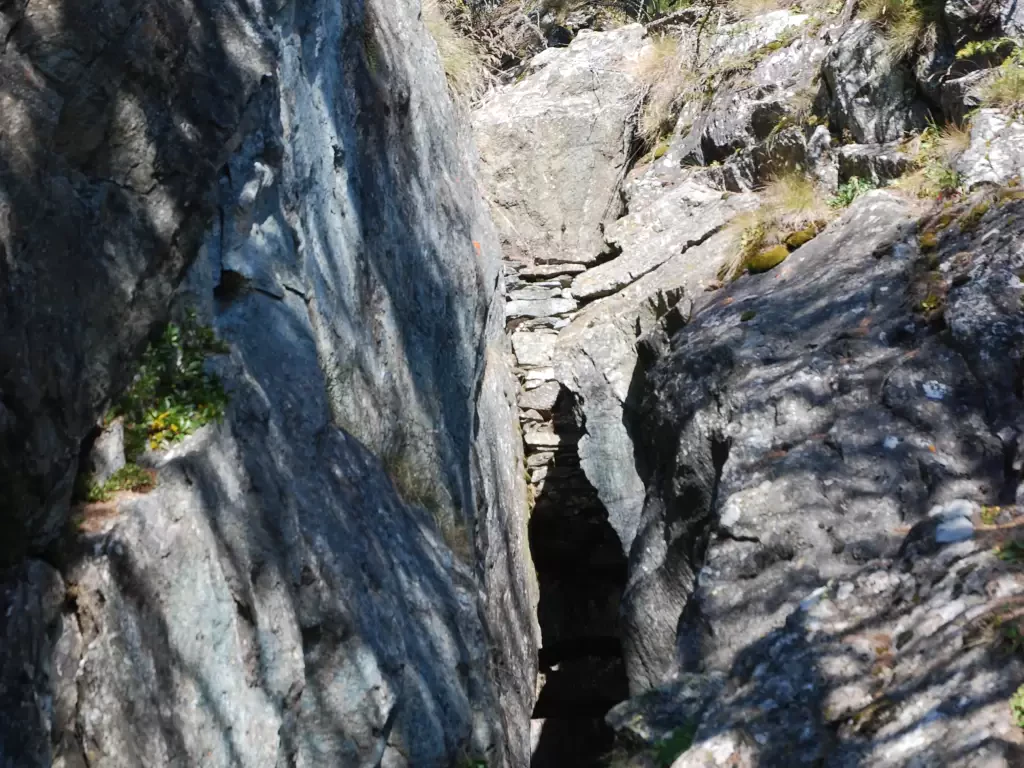
The Borna da Ghiasa, the Ice Hole in Italian, is a 30-metre deep cavity from which a flow of cold...
T2
1.00 Km
133 m
Chapel of the Partisans, from Saint-Vincent
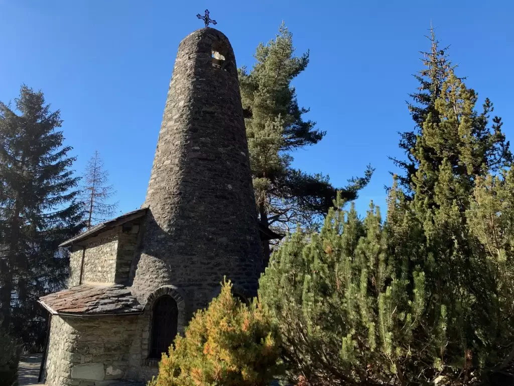
This not very popular route leads to the Chapel of the
Partisans, built in 1953 to commemorate a group of...
T2
11.40 Km
943 m
Chapel of Saint-Pantaléon, from Mognod
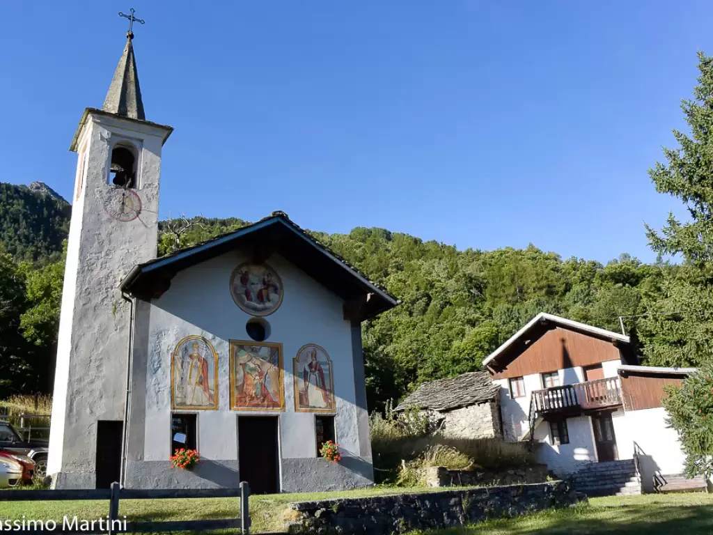
The hike to the chapel of Saint-Pantaléon winds its way between the houses of Mognod and the open pastures dominating...
T2
5.68 Km
191 m
Saint-Germain Castle, from Champerioux
The itinerary develops in the lower Valle d'Aosta, in the municipality of Montjovet, between the hamlet of Champerioux and the...
T2
2.08 Km
135 m
Ussel Castle, from Tenso
Short route along the course of the Dora Baltea river. The river is crossed on the characteristic Ponte delle Capre...
T2
7.00 Km
180 m
Champ Cellier dessus, from Promiod
The Champ Cellier Dessus alpine pasture, located in the picturesque Promiod valley, is a fascinating destination for mountain hikers. Nestled...
9.91 Km
700 m
Champsin, from the Mesaney sports area
Champsin is an alpine pasture on the edge of a beautiful and panoramic clearing close to the Cloutraz promontory. The...
T2
5.00 Km
351 m
Church of Moron, from the Roman Bridge of Saint-Vincent
Short walk through the woods of the Cillian valley. The destination, the church of San Maurizio (better known as the...
T2
0.00 Km
230 m
Col d'Arlaz, from regional road 7
Easy walk on the border between the municipalities of Montjovet and Emarèse. The non-excessive length and the relatively small difference...
T1
10.50 Km
338 m
Col de Joux, ring from Grand Rhun
The circular hike from Grand Rhun to Col de Joux, in the municipality of Saint-Vincent, is a fascinating route that...
8.61 Km
319 m
