Massimo Martini
Wrote 498 reports, for a total distance of 365,16Km up and a total elevation gain of 313,46Km and 2.936 hours of walking
Active filters:
User: 3
Showing 499 results
with active filters
Loading...
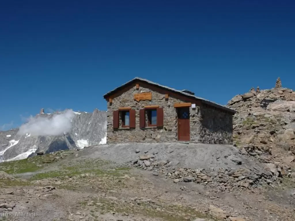
Bivouac Rosaire-Clermont, from Lignan
Return route starting from Lignan, in the Saint-Barthélemy Valley, and arriving at the Rosaire-Clermont Bivouac (2,700m), located near Col Vessona....
17.00 Km
1162 m
Anello Ceronda, dalla stazione ferroviaria di Balangero
Percorso ad anello che si sviluppa tra la Bassa Valle di Lanzo e i rilievi prealpini compresi tra la Valle...
78.38 Km
3888 m
Alagna Refuge Ring
Two-day route without any particular difficulties, although it is definitely long and with a considerable difference in altitude; it therefore...
T2
0.00 Km
1300 m
Tsa de Fontaney, from Lignan
The Tsa de Fontaney can be reached from Larset or, with a little more elevation gain, from Lignan. The long...
WT2
7.00 Km
660 m
Mont Morion, from Lignan
Mont Morion (2711m) is a solitary peak located in the centre of the Saint-Barthélemy Valley. Panoramic views of the Saint-Barthélemy...
T2
12.80 Km
0 m
Col Collet, from Lignan
The Col Collet is a little-known pass that connects the Vallon de Saint-Barthélemy with the Comba Dèche. The Col Collet...
12.96 Km
823 m
Chaléby, from Lignan
Saint-Barthélemy offers many possibilities for winter activities, from Nordic skiing slopes to interesting ski-mountaineering and snowshoeing itineraries. The itinerary proposed...
WT2
8.00 Km
349 m
Pascal bivouac, from the Morge car parks
Return route from Morge di La Salle up the Vallon de Chambave to Bivacco Luigi Pascal (2920 m), located just...
T2
19.19 Km
1488 m
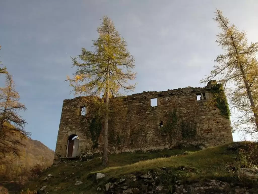
Suzey Castle, from IV November Square in Pont-Saint-Martin
A round trip itinerary that takes in the hillsides at the entrance to the Valle d'Aosta, starting from the village...
T2
4.97 Km
505 m
Tête de Liconi, from the Morges car park
Splendid excursion to the Testa di Liconi. The route overall is long, but the arrival at Bivacco Pascal and the...
T2
0.00 Km
0 m
