Nearby
📍 Location Details
Latitude:
Longitude:
Accuracy:
Updated:
0 km
100 km
Path
km
-
km
m
m
Hike Type
Round trip
Circular
Crossing
Partially circular
Recommended Period
All
Hiking
Snowshoeing
Ski-mountaineering
Mountaineering
Via ferrata
Climbing
Mountain bike
Trekking
Active filters:
Tags: tuscany
Showing 12 results
with active filters
Loading...

Edited by:
Massimo Martini
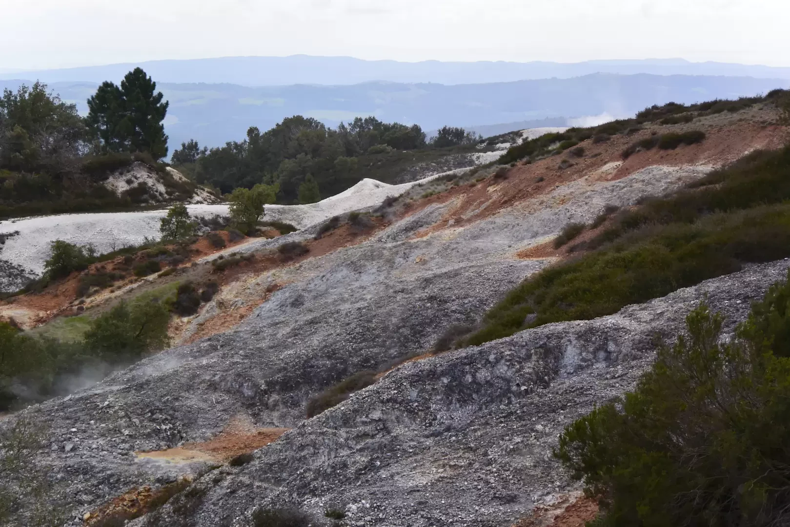
The Biancane Loop, from Lagoni
A circular walk in the Parco delle Biancane, a geothermal area in the municipality of Monterotondo Marittimo (Grosseto), in Tuscany....
T2
3.04 Km
183 m
Edited by:
Massimo Martini
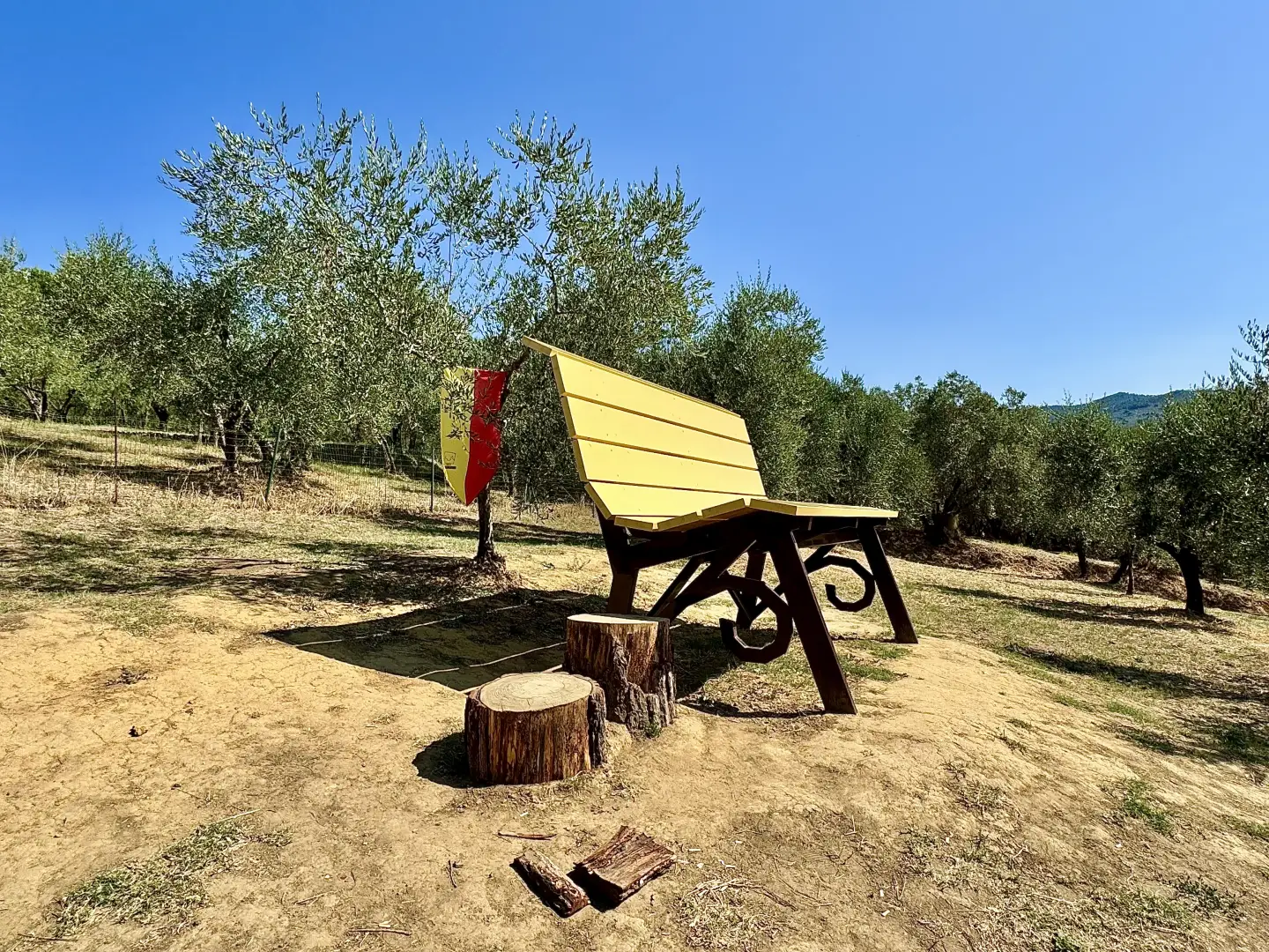
Big Bench #405 – Vinci, on Via Montalbano
The Via di Caterina trail winds its way up the hill to the north-west of Vinci, through olive groves and...
T1
1.50 Km
50 m
Edited by:
Maurizio Loconti
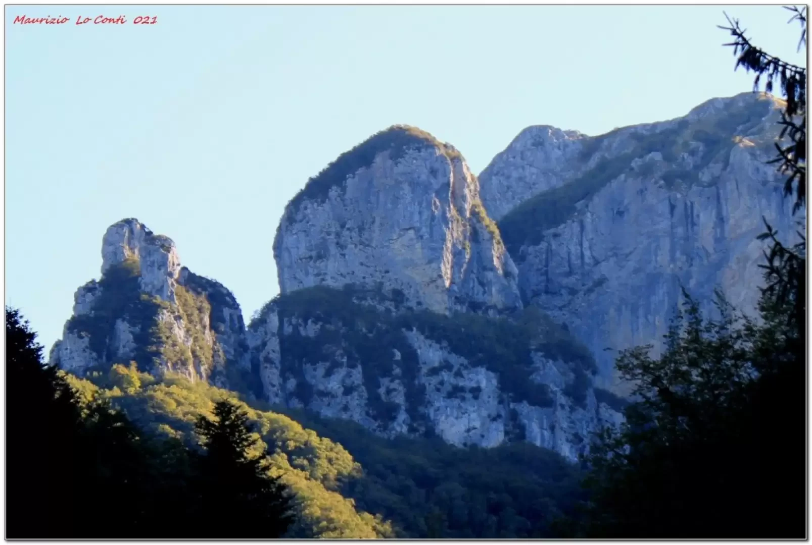
The base of the Procinto
The Forte dei Marmi shelter is in a good location for eating and resting. The meal, like the previous time,...
T2
6.60 Km
684 m
Edited by:
Massimo Martini
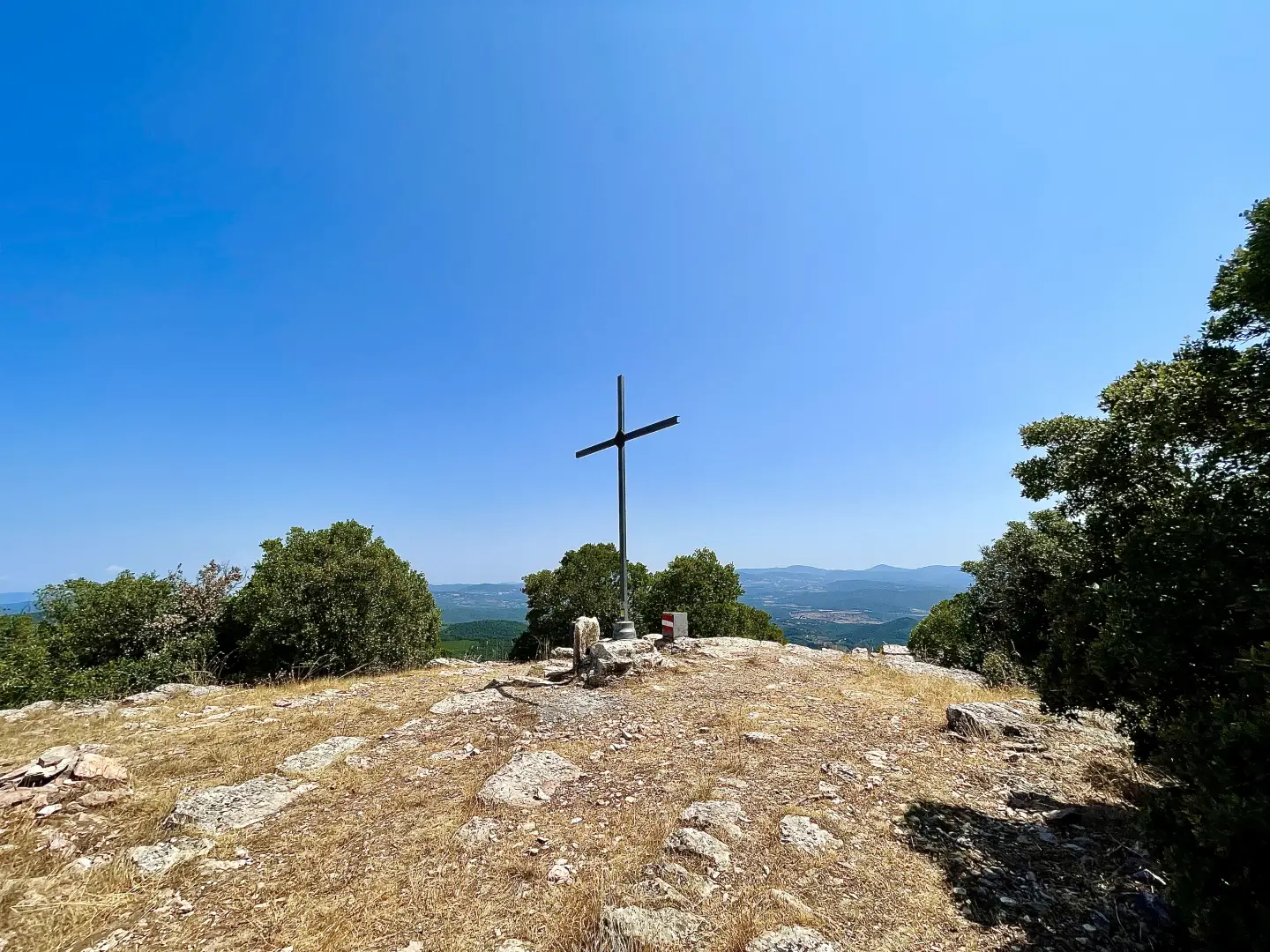
Monte Calvi, from Via Volta to San Vincenzo
A hike up Monte Calvi (646m), the highest peak in the range of hills separating the Tyrrhenian coast from the...
T2
0.00 Km
m

Edited by:
Maurizio Loconti
Massaciuccoli Oasis
A short track runs along the lake of the same name amidst the low vegetation.
T2
3.00 Km
68 m
Edited by:
Maurizio Loconti
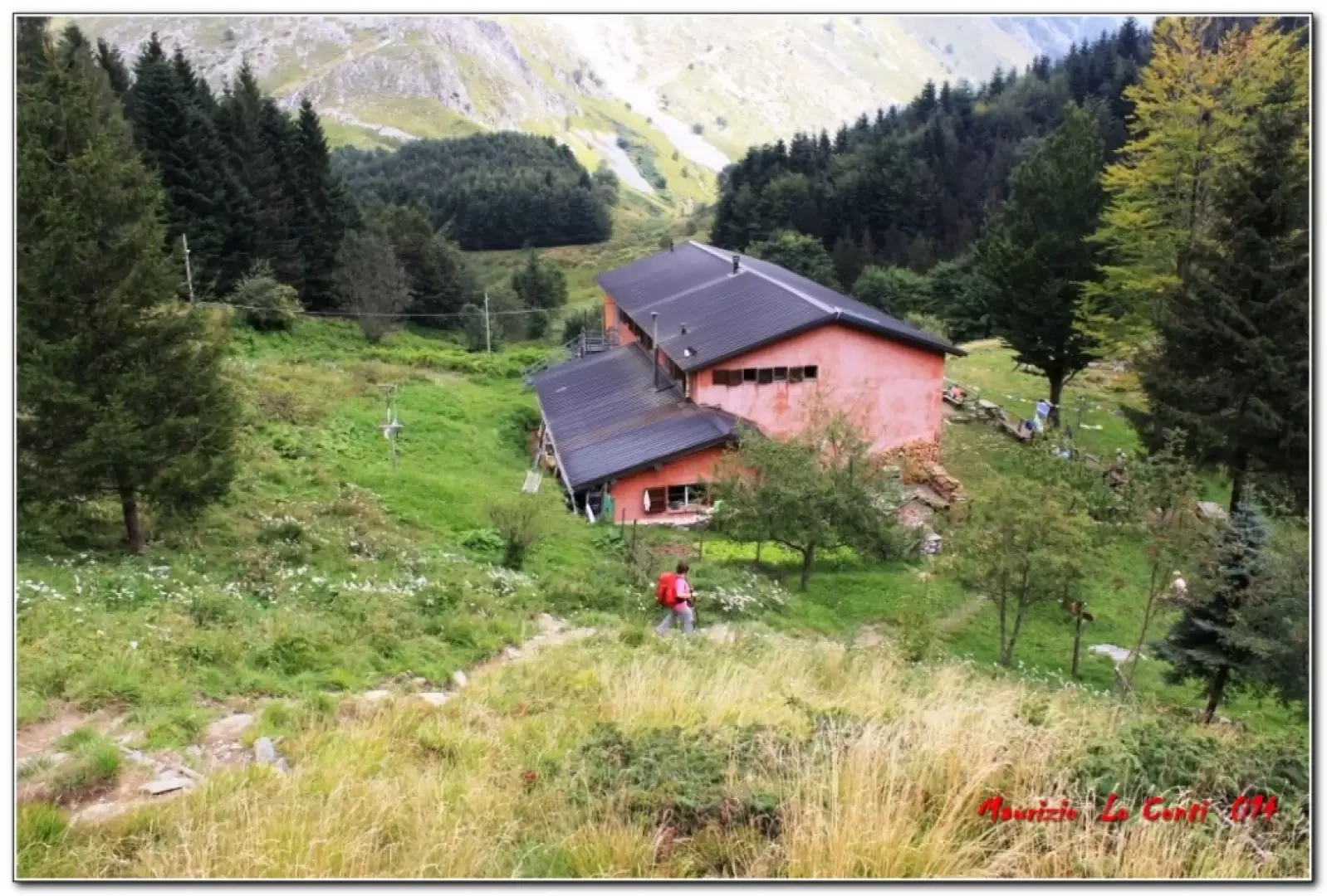
Freo Mountain Hut, from Passo Croce
A circular walk from Passo Croce, at the foot of Pania della Croce in the Apuan Alps.
T2
11.01 Km
844 m

Edited by:
Maurizio Loconti
Forte dei Marmi Refuge, from Stazzema
The mountainous area above Stazzema is criss-crossed by a dense network of paths and offers a wide variety of excursions...
T2
8.00 Km
842 m
Edited by:
Maurizio Loconti
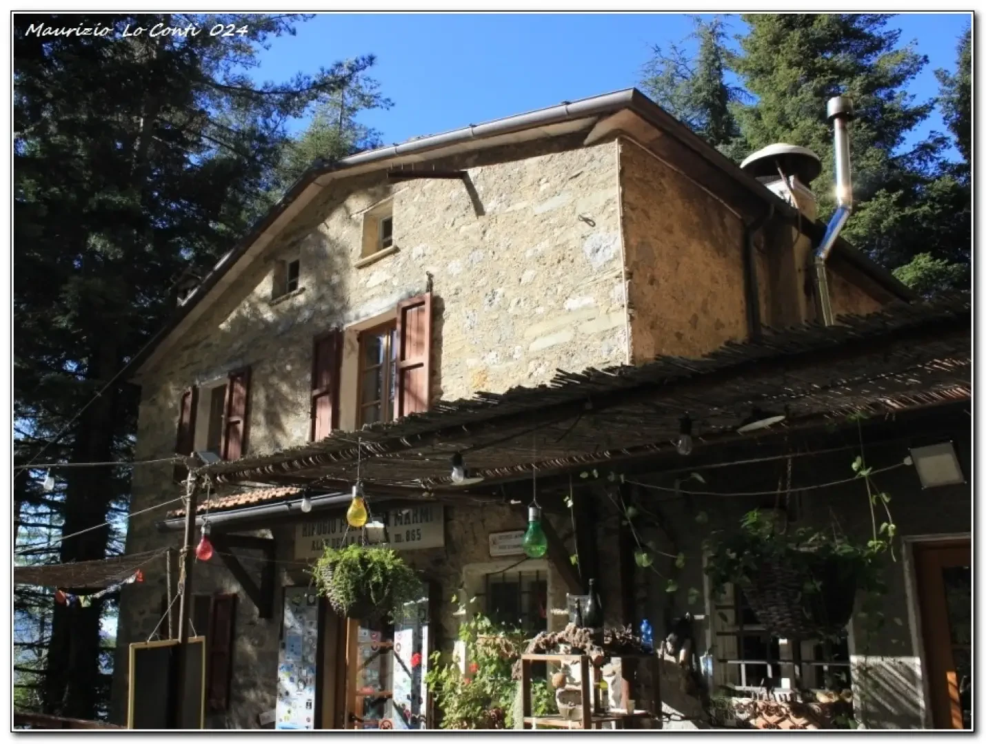
Forte dei Marmi Refuge, from the Pomezzana area
There is only one strategy for beating the traffic and arriving in reasonable time at the starting point when travelling...
T2
10.90 Km
737 m


Edited by:
Maurizio Loconti
Orto di Donna Refuge, from the Val Serenaia Refuge
The Val Serenaia is in the Apuan Alps and has a typical U-shape, thanks to the slow work of an...
T3
0.00 Km
533 m
Edited by:
Massimo Martini
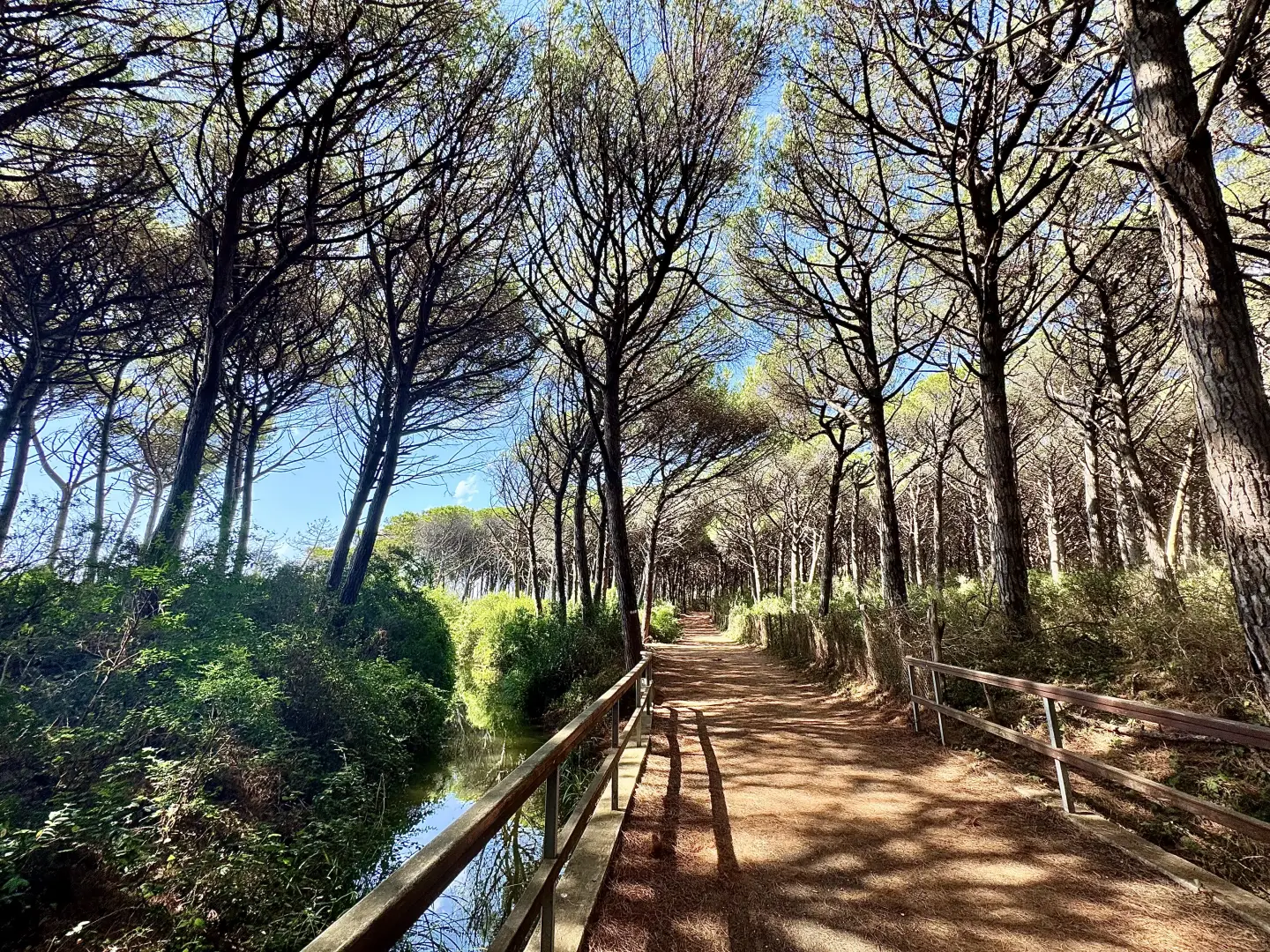
Tomboli Reserve, from Marina di Cecina
Just a short distance from Marina di Cecina, the Tomboli di Cecina Nature Reserve preserves a unique ecosystem, modelled over...
T1
10.98 Km
45 m
Edited by:
Massimo Martini
Sasso di Simone, from Casa Borboni
The Sasso di Simone is a particular geological conformation in the heart of Montefeltro. Thanks to its strategic position and,...
T2
7.00 Km
256 m