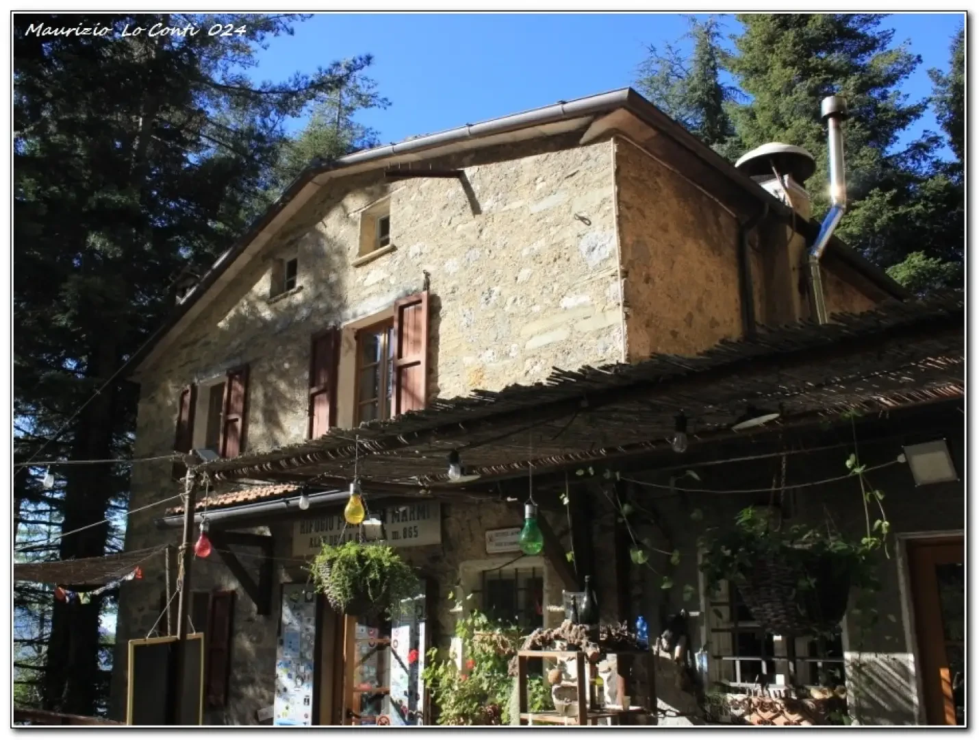
Forte dei Marmi Refuge, from the Pomezzana area

Access
From the motorway, exit at 'Versilia' and then there are signs for Seravezza - Ruosina - Pontestazzemese - Pomezzana - Le Calde. In the last stretch, there are signs for Agriturismo l'Alpeggio. The car is left in a widening (parking for 4 or 5 vehicles at the most), as, going up on the left, places are reserved for residents.
Introduction
There is only one strategy for beating the traffic and arriving in reasonable time at the starting point when travelling a little far from home. Entering the motorway at 6.50am, in 1h10 you exit at the Versilia toll booth, despite two long lane jumps. At Ripa, there is an excellent pastry shop where you can have breakfast, even a good coffee. The trip is a circuit that allows you to visit several points of interest, all very interesting...
.Description
The third loop to the Forte dei Marmi hut
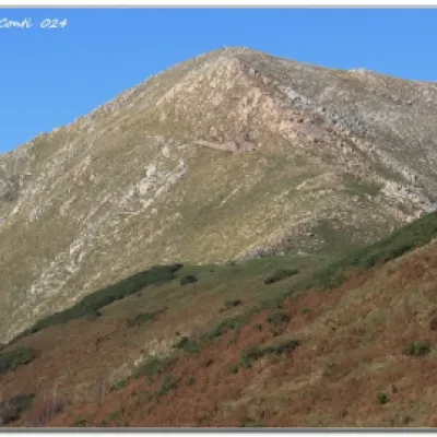
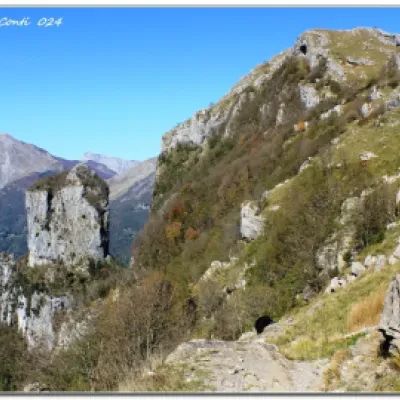
We climb (660 m, from the start, loc. Le Calde - Pomezzana) and, after a few buildings, turn right, almost 360 degrees (towards Agriturismo l'Alpeggio and the Grattaculo estuary). After the Alpeggio, (in a moment, a bifurcation: to the right) the track tends to be more labile, but still unique. You come out onto a wide track, keeping to the left and, immediately, you find the Grattaculo mouth (50' - 856 m). Immediately, there is a fork, where you go right. You cut almost level into the forest and then emerge from the vegetation. Next, one climbs (red-white signs) to the mouth of the Pallone (1h - 1090 m). There is a beautiful view of Monte Matanna (1318m) and Monte Piglione. You cross over, finding a road and turning left (left again at a crossroads), thus arriving at Rif. Alto Matama (1037 m - by car from the Lucca area and not from the sea). One climbs to the left, ignoring a level path and reaching the Callare (40' - 1139 m). The Procinto stands out and the descent is a little technical and to be tackled calmly. In 1h (at a fork, at the bottom of the descent, to the left), there is the Forte Marmi refuge (865 m - tel. 3313277741 - total time: 3h30 to the stop). After the break, the start leads onto the path to Pomezzana. The path is not very steep at first (slightly more difficult than the rest), then gradually becomes more marked and reaches a house, beyond which there is a road (1h05). Following it downhill and shortening in relation to the CAI path (which bends to the right and is found shortly afterwards), in a further 25' (uphill and glimpse of Pomezzana among the trees) it is possible to find the waiting car (25'). Dif. E - 3h30+1h30 - height difference +600 m - excellent weather - by car 296 km - 5.2 cons. - CAI symbols present, sometimes thinned out.
If you want, here is the pdf photo file, with a bit more news:
http://www.cralgalliera.altervista.org/RifForteDeiMarmi024.pdf
In the area: http://www.cralgalliera.altervista.org/GiteApuaneAltaToscana.htm
Notes on the place name Foce del Pallone and more: http://www.cralgalliera.altervista.org/NotizieZonaRifForteDeiMarmi.pdf
The 2 previous trips to Rif. Forte dei Marmi: 2021 http://www.cralgalliera.altervista.org/RifForteDeiMarmi021.pdf
2017 http://www.cralgalliera.altervista.org/RifForteDeiMarmi017A.pdf - http://www.cralgalliera.altervista.org/RifForteDeiMarmi017B.pdf
http://www.cralgalliera.altervista.org/anno2024.htm
http://www.cralgalliera.altervista.org/altre2024.htm
NB: in case of an excursion, always check with FIE, Cai, any park authority or other institutions, pro loco, etc., that there have been no changes to the route, that there have been no changes that have increased the difficulties! No liability is accepted. The present text is purely indicative and not exhaustive.
Info Hiking Section Cral Galliera: http://www.cralgalliera.altervista.org/esc.htm
Trips 2024 at the link: http://www.cralgalliera.altervista.org/gite024.pdf


