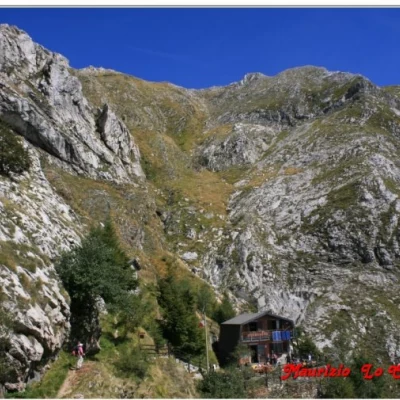
Nello Conti Refuge, from Resceto

Access
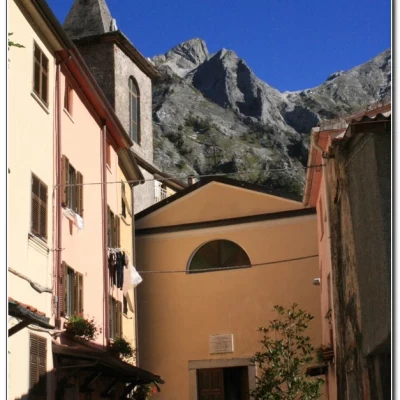
On the Genoa-Livorno motorway, exit at Massa and head towards the town centre. Then, take the signs for Resceto, about 11 km away. Almost at the end, continue left (and do not enter the lower part of the town on the right), until you come to a parking area at the end of the hamlet, about 540 metres away, in a small square (be careful, it is also used by a public bus - there are only a few runs), with about 20 parking spaces (further down, near the church, there is a bar).
Description
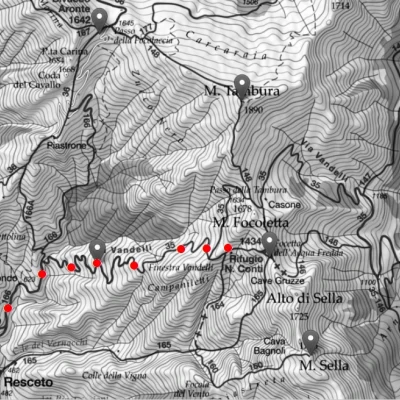
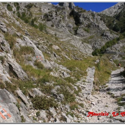
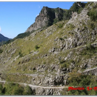
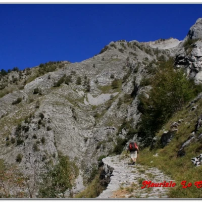
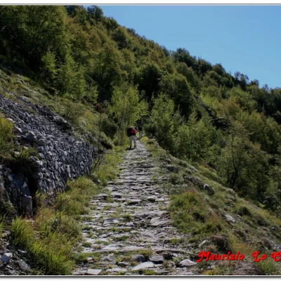
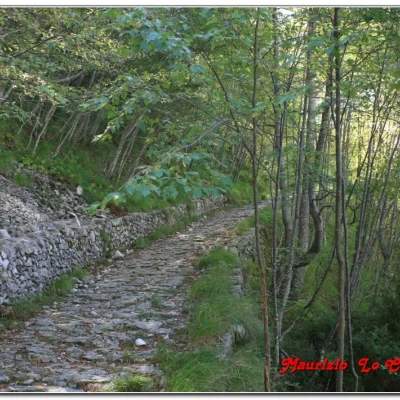
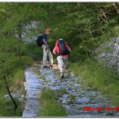
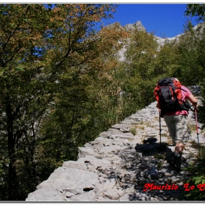
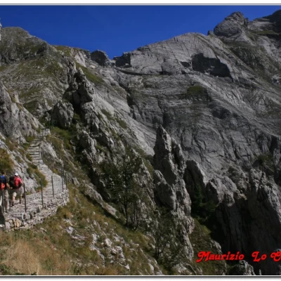
We set off from the square and climb to the left up a steep ramp (for a few metres still asphalted). A sign, somewhat optimistically, estimates the arrival at the refuge in 2h (path no. 35). We ignore the other paths that develop to the left (for the Vettolina pass with n.170 and, later, for the Focolaccia pass with n.166 and 166 bis) and proceed straight ahead on the historic 18th century stone mule-track between Resceto, Garfagnana and Modena (recovered some 20 years ago), named via Vandelli, in honour of the builder. Originally, it was supposed to be a trade route, but since it had to cross the Apuan Alps, it was unusable in winter, in addition to having a very steep slope (for further information: http://www.barganews.com/blogs/tambura/wp-content/uploads/2010/01/via_va... ).
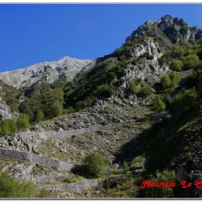
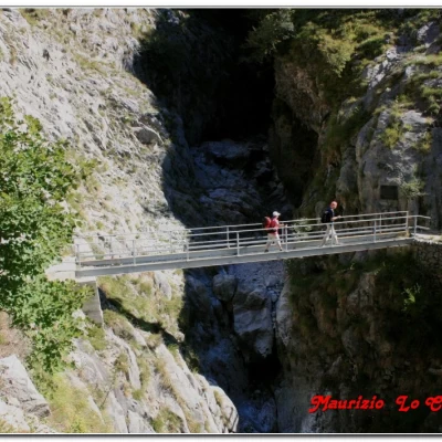
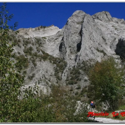
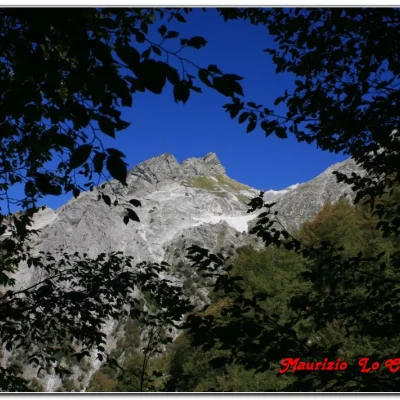
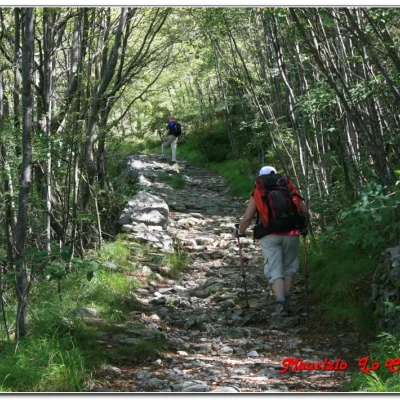
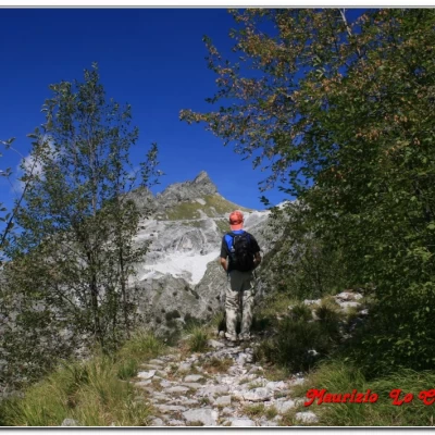
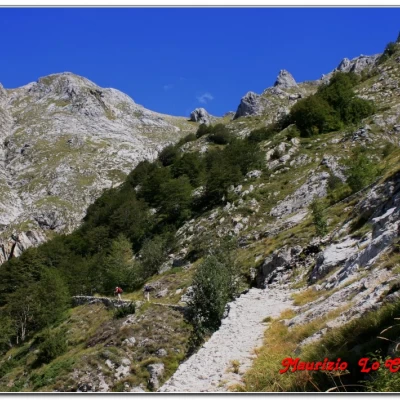
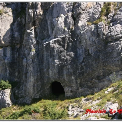
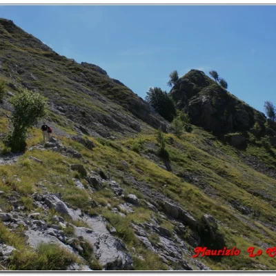
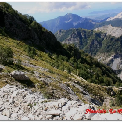
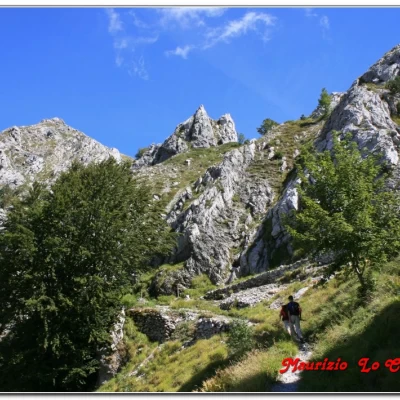
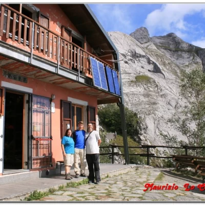
We cross the iron bridge over the orrido del Canale Pianone (30') and the road climbs with an endless series of hairpin bends (at an altitude of 788, a marble slab reminds us that this is an 18th-century ducal road). In truth, you struggle a little with the slope, but you are on a wide cobbled track, about 2 metres, so it is as if you were on a little path with a smaller difference in altitude. Every now and then, you cross some sparse groves that provide some shade, which is very welcome. The path is well maintained and you can see all the benefits of the restoration work (although there have been recent landslides in a couple of places). Next, we pass a small chapel in excellent condition, after the 1996 work (for Carlo and Rosetta's 50th wedding anniversary, with a terracotta of St Bernard of Menthon, protector of mountaineers - 1h20). Just above, there is a small helicopter pad. There is also a view of all the surrounding peaks and in particular of Mount Cavallo 1888 m and the Focolaccia pass 1692 m. During the ascent, the view opens up both towards Massa and the sea, Palmaria and Tino. With the destination now approaching, one notices on the left the entrance to an iron mine (with a ledge leading up to it). A retrospective on the climb gives an idea of the route taken so far. . . Finally, we come to the fork near the Vandelli window: on the left, the Vandelli road continues to the Tambura pass (at 1620 m and about 45' away - from the pass, going left again we reach the peak of the same name, almost in the middle of the Apuane Alps, at 1890 m), while, for our destination, we turn right. The Nello Conti ai Campalinetti refuge is only 5 minutes away. As for the rest of the ascent, we continue to see the steep paths for transporting marble (lizze in slang). The building is located at 1442 metres (almost 1h, for a total of 2h45 of ascent and about 900 metres of difference in altitude), in one of the most rugged and wild places in the area. Telephone: 0585 793059; managers: Martino 328 9356219 and Carla 333 8231582; the building is not reached by cable car and everything is transported on the back or by helicopter, so reservations are appreciated. It is open from mid-June to mid-September; other dates are weekends, weather permitting). The structure is simple but cosy, with 24 places to sleep and around 40 for lunch. After a long and well-deserved rest on the terrace, which offers an admirable spectacle, we tackle the return journey, which takes about 2 hours for the outward journey. What can I say? It was a really nice trip... done calmly and with lots of photos...
More photos at the link
http://cralgalliera.altervista.org/RifugioNelloContiApuane.pdf
http://www.cralgalliera.altervista.org/anno2013.htm
NB: In the case of an excursion, always check with FIE, Cai, any park authorities or other institutions, pro loco, etc., that there have been no changes that have increased the difficulties! No liability is accepted. The present text is purely indicative and not exhaustive.
Info Hiking Section Cral Galliera:
http://www.cralgalliera.altervista.org/esc.htm
