Leave the motorway junction at Châtillon, turn left and proceed for about 300m until you come to a roundabout: take the third exit and continue straight on Via E. Chanoux. Cross the historic centre of Châtillon for about 600m and then turn slightly right onto Via Menabreaz to follow for 450m to the characteristic roundabout with the "Matterhorn" inside. Take the second exit and take the Valtournenche road for about 7.6km to Antey-Saint-André, where you turn right onto the to La Magdeleine. Climb up the regional road for 4.6km until you reach the junction for Promiod. Follow the little communal road on the right for 1.4km until you come to a large free car park 🅿️ on the left where you can leave your car.
[0h23'] - [14.9km] How to get there with GMaps How to get there with Apple Maps
These indications are based on direct verification carried out at the time of the survey of the route so the information should be checked before starting the hike. We recommend using a GPS navigator or map app on your smartphone to get up-to-date and detailed directions.
Introduction
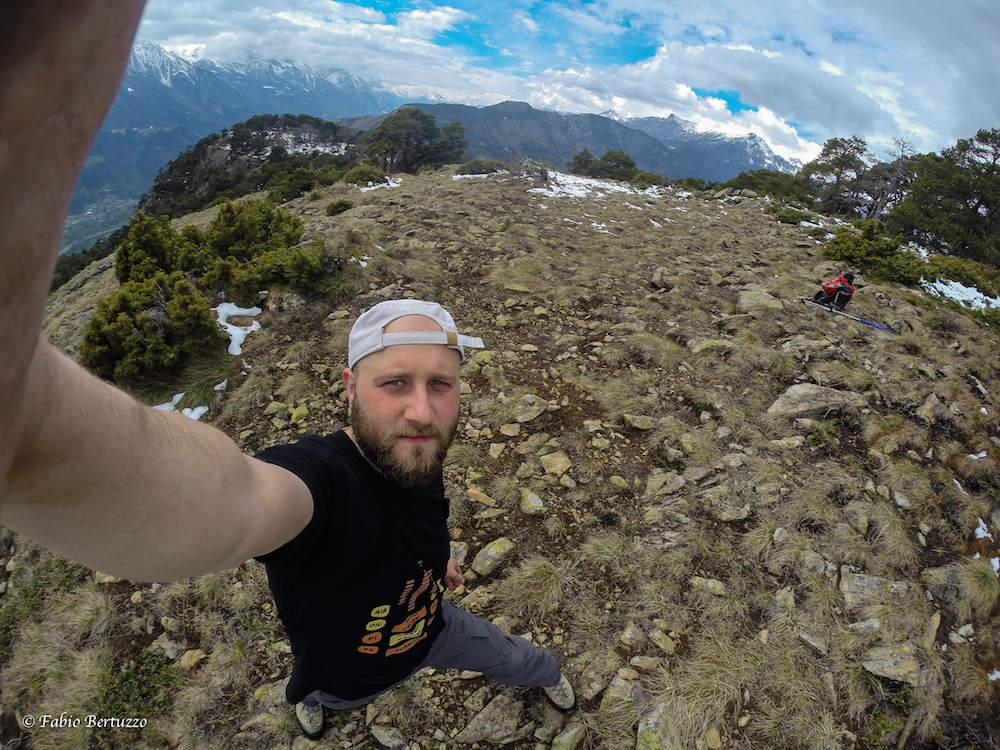
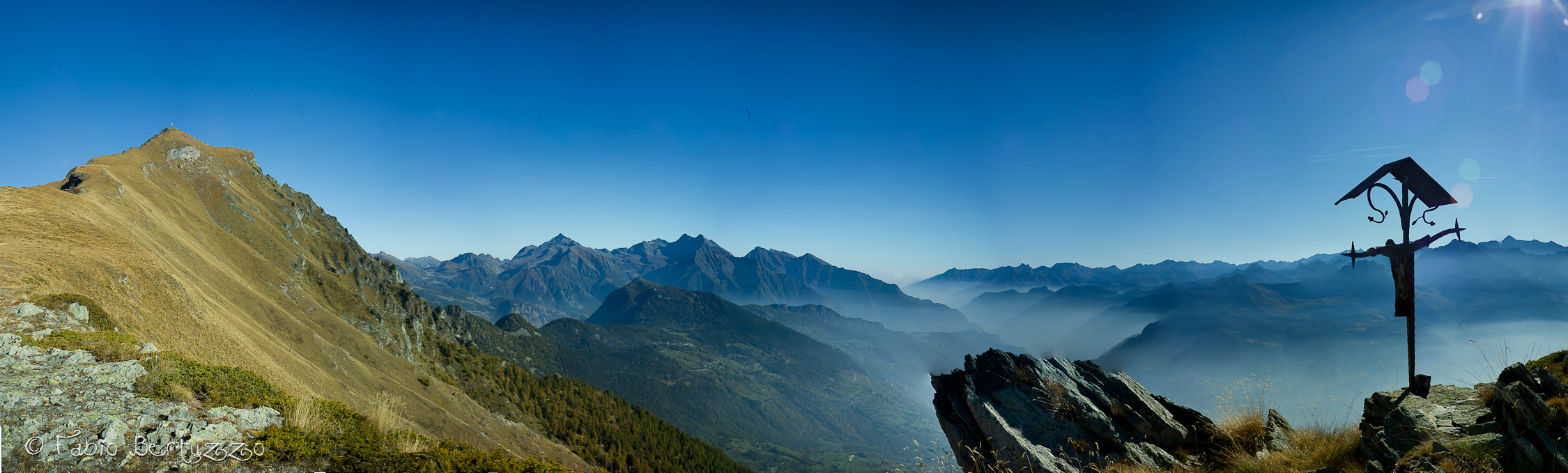
A pleasant hike starting from the village of Promiod and climbing up the wide valley of the same name. When you reach Col Portola, you can admire the splendid panorama of the Monte Rosa group.
Description
0h00' From the car park, proceed in a southerly direction as you enter the village of Promiod and, after a short descent, you will reach the chapel dedicated to Saint-Antoine (fountain 💧 on the right). Continue along the lane, now slightly uphill, until you come to the start of the path 💧 a little further on on the left. Following the dirt road (there are several possibilities to cut the wide hairpin bends) you reach the Boettes (1714 m) and Sopien (1884 m) huts, to reach the wide basin at the end of the Promiod valley. Continuing along the path we reach the Revard huts (2031 m) and finally meet up with itinerary
(departure from La Magdeleine). Continuing the ascent with itinerary
we reach the La Nouva alpine pastures (2193 m): the last dwellings we will encounter on our route. Leaving the dirt road, we cross the meadows on a path that leads to Col Portola (2410 m). We now continue along the ridge along the path, with an excellent panorama of the Ayas Valley and the Monte Rosa massif in the background. You finally reach the summit of Monte Zerbion after passing a somewhat uneven stretch of path.


Comments (0)
Sign in to leave a comment