From the Châtillon motorway exit, turn left onto Via E. Chanoux. Go past the roundabout, take the third exit and continue through the town centre for about 600 metres, then turn right into Via Menabrea. Follow this road to the roundabout with the 'Matterhorn' in the middle. Continue along the regional road for 18.7 kilometres to Valtournenche, where, towards the end of the town centre, at Hotel des Neiges, turn right and up the municipal road to Cheneil. Follow the road for 6.5 kilometres to the 🅿️ car park at La Barma, the starting point of the hike. The car park is large, but due to the large number of people, it is advisable to arrive early enough on peak days to avoid having to leave your car further down the ascent road. Just beyond the starting point there is a tourist lift, always in operation, which saves 50 metres of ascent.
[0h42'] - [26.9km] How to get there with GMaps How to get there with Apple Maps
The directions provided have been carefully checked as of the date the route was taken. However, it is highly recommended to check for any changes that may have occurred since then, especially regarding the route to the starting point. Before embarking on your journey, it is advisable to consult up-to-date navigation tools for accurate and up-to-date directions. We recommend the use of satellite navigation apps, such as Google Maps or Apple Maps, to ensure the most accurate and safe routing.
Introduction
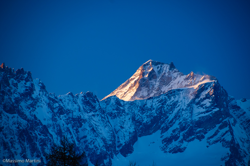
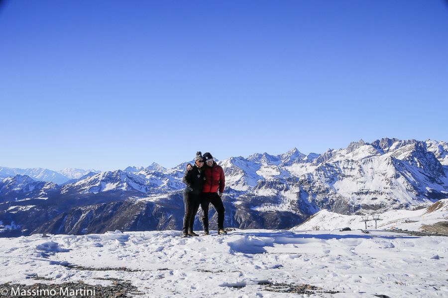
Not a very long itinerary in the beautiful Cheneil basin: from this enchanted corner, you can appreciate the beautiful panorama of the Cervino and the Grandes Murailles without neglecting the beautiful view of the adjoining peaks: Monte Roisetta and Grand Tournalin.
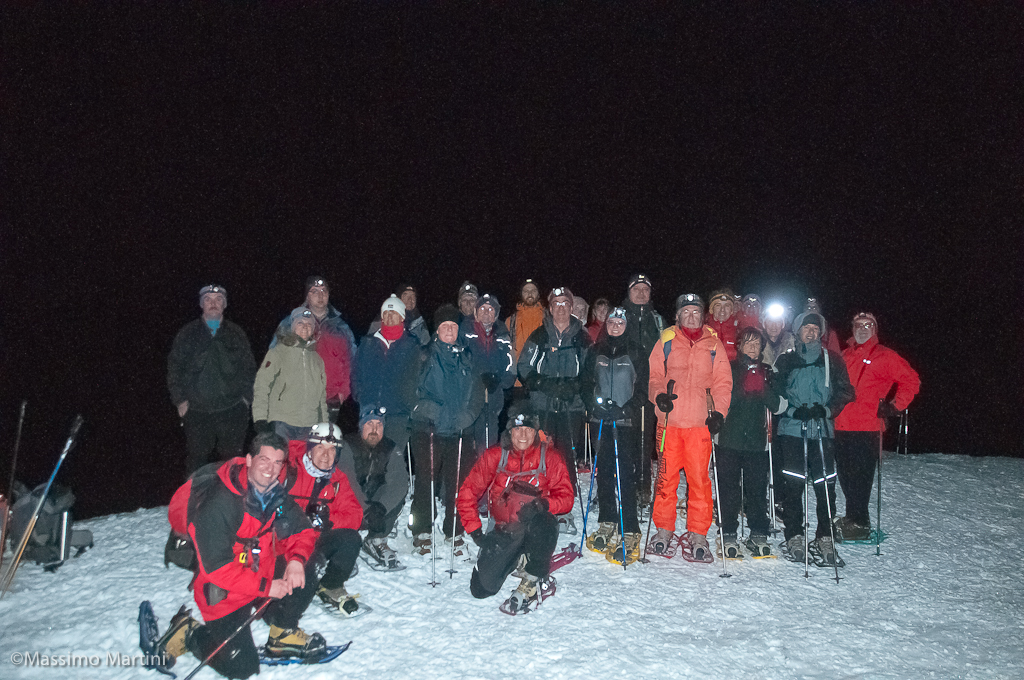
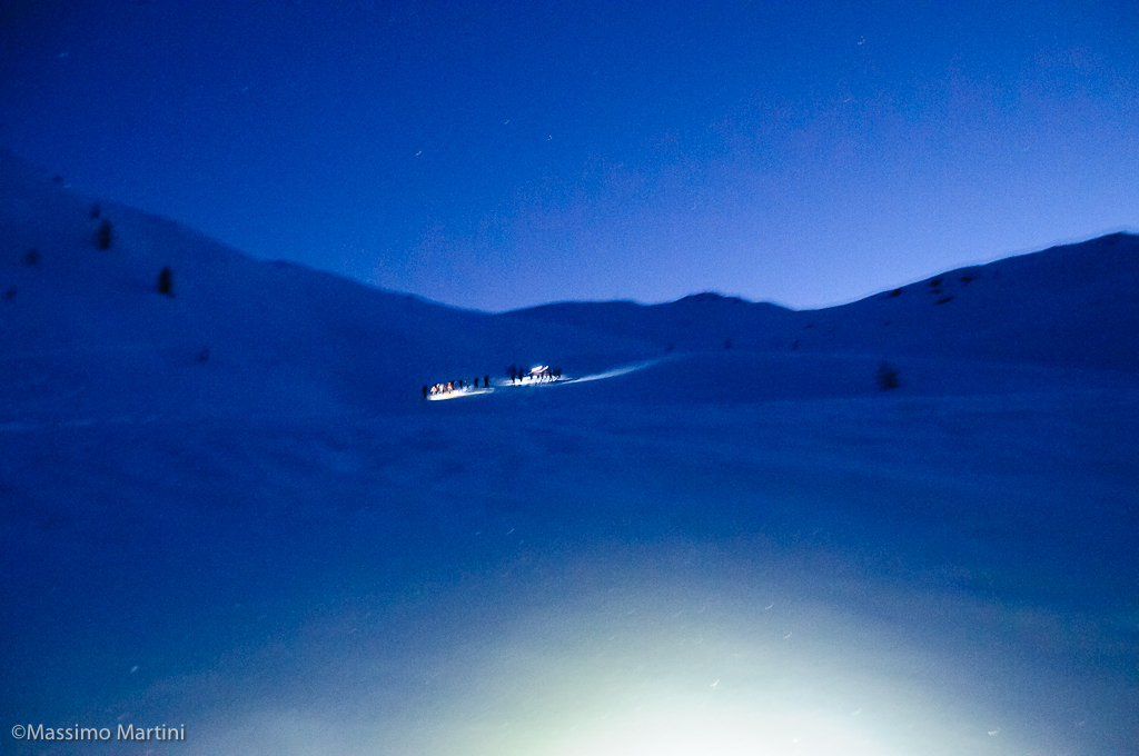
If you choose this route for an overnight stay, take a headlamp with you, just in case. Try instead to walk the route on a full moon day. Without switching on the light in the section through the pastures, the emotion is guaranteed.
.
Description
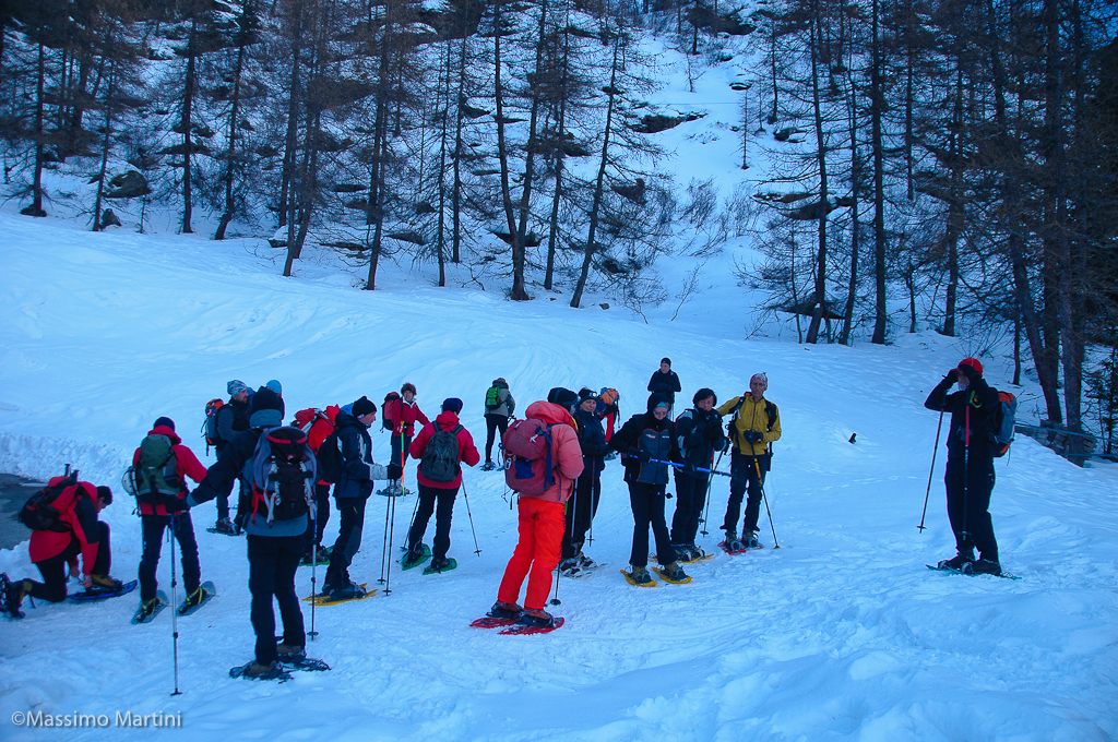
0h00' Leaving the car in the car park, we immediately put on our snowshoes to climb the "step" that separates us from the beautiful basin of Cheneil. On the right-hand side of the car park, take the path whose trace is always evident and, after a slightly downhill stretch, turn right, crossing a small wooden bridge submerged in snow, and start climbing the steep "step" below Cheneil. A few hairpin bends are made under the larches and after about 10 minutes you reach the beautiful Cheneil basin. The environment is characteristic and evocative, and you can enjoy beautiful panoramic views of the Cervino, but also of the mountain cirque that frames the village: Mont Molar, Becca d'Aran, Monte Roisetta, Grand and Petit Tournalin, Becca Trecaré and Punta Falinère. 0h10' Cross the plateau heading towards the houses of the village, at the end of the plateau start to climb up a beaten track until you reach a signpost half buried by snow: go straight on for about fifty metres then turn left and start to climb up the wood in a diagonal (normally there is a beaten track). After about ten minutes, you reach a small clearing in the midst of larch trees: from here, you begin to climb a fairly demanding stretch, which is furrowed by the tracks of downhill skiers. This part of the itinerary follows a small watershed ridge until it reaches the beaten track again (2300m).
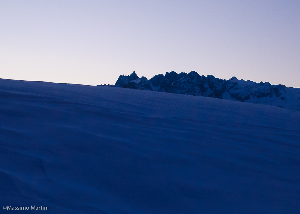
0h30' This is followed as far as the Col de Fontana Freida, with the possibility of cutting through some of its wide hairpin bends while climbing up some steep sections. After a last rather steep section, the beaten track veers to the right, heading for the Col de Fontana Fredda (2490m).
1h20' After sighting the arrival of the ski-lift, turn left and in a few minutes walk along the section that separates the pass from the Santuario de la Clavalité (2523m) 1h30' . The descent is along the same route as the ascent 1h20' .


Comments (0)
Sign in to leave a comment