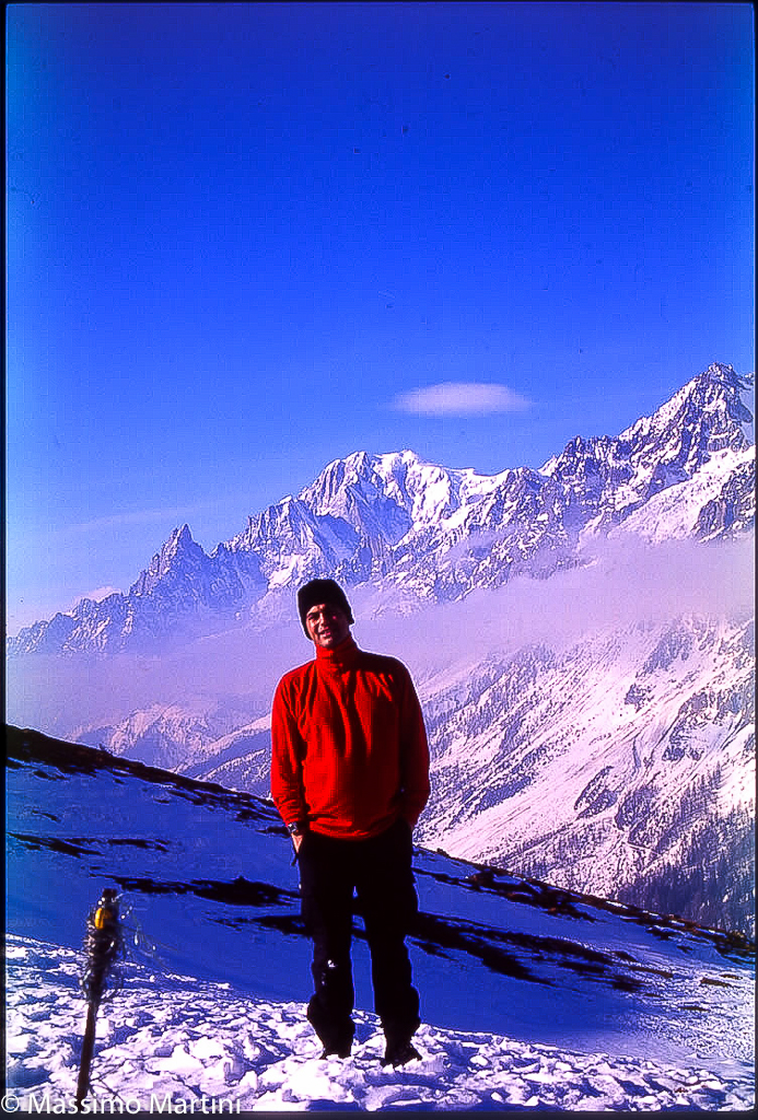
Bonatti Refuge, from Planpincieux


Edited by:
Massimo Martini
Updated at: 20/05/2026
Access
Introduction
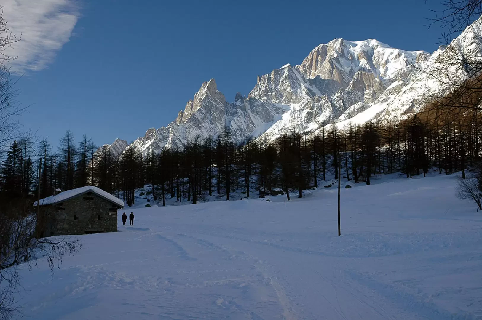
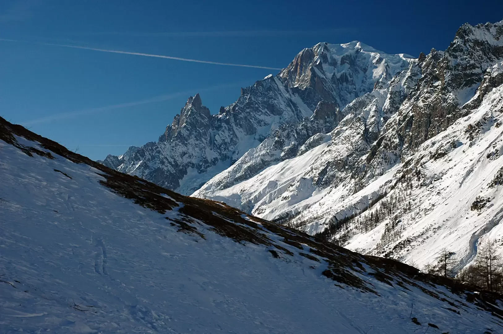
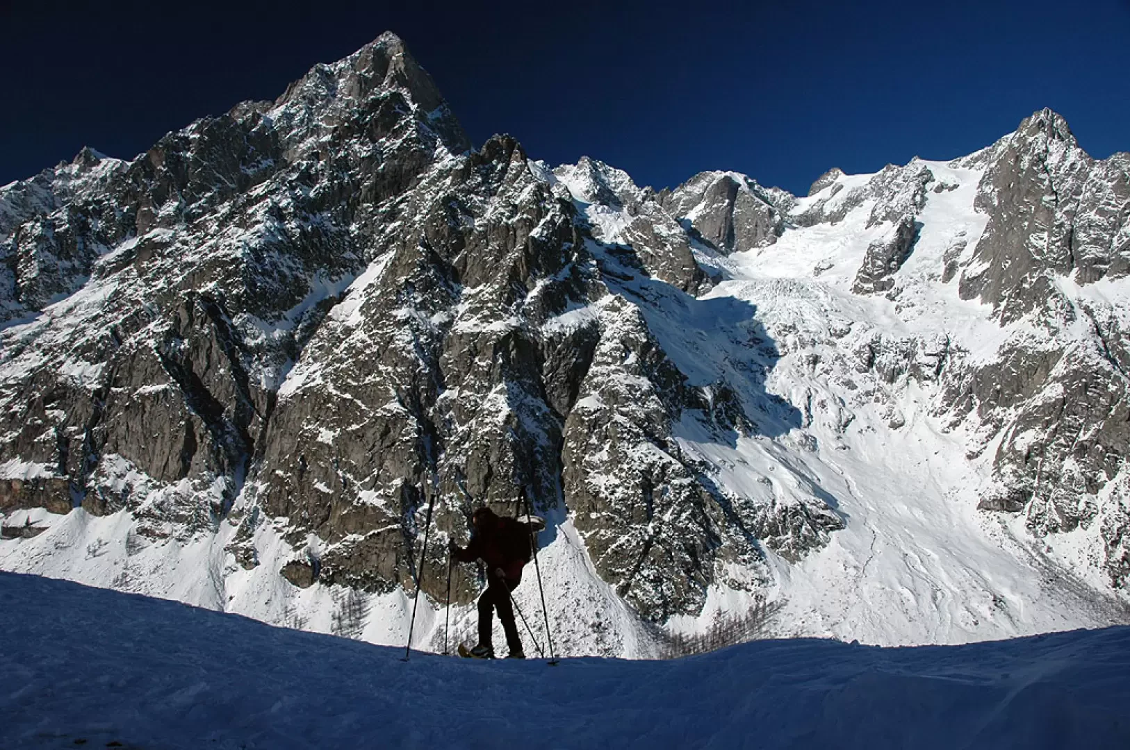
Classic hike in a captivating setting. The ascent to Val Ferret and the following ascent to the refuge offer sublime views of Mont Blanc and the Grandes Jorasses: not to be missed!
Description
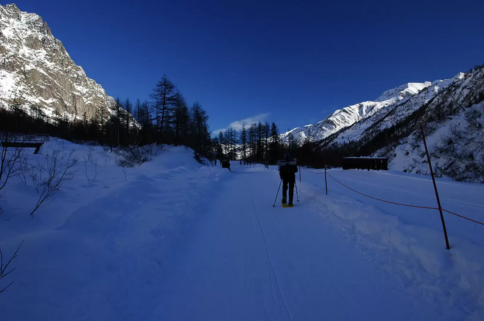
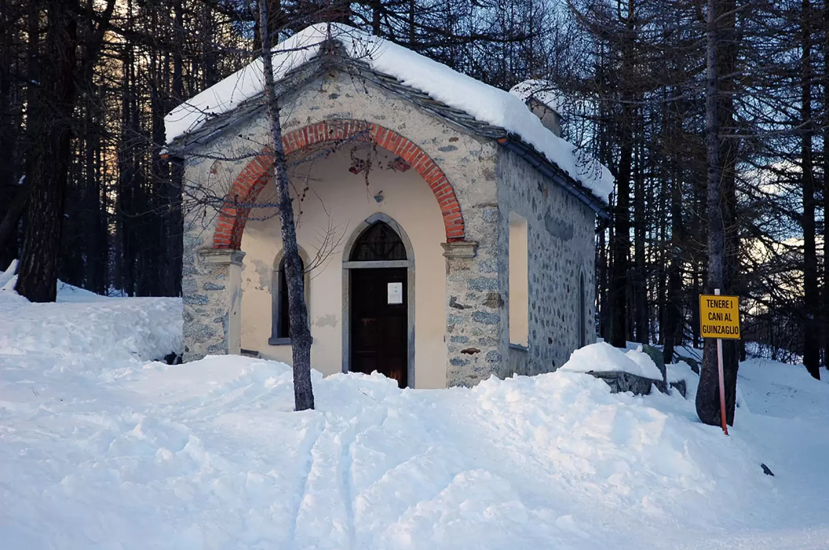
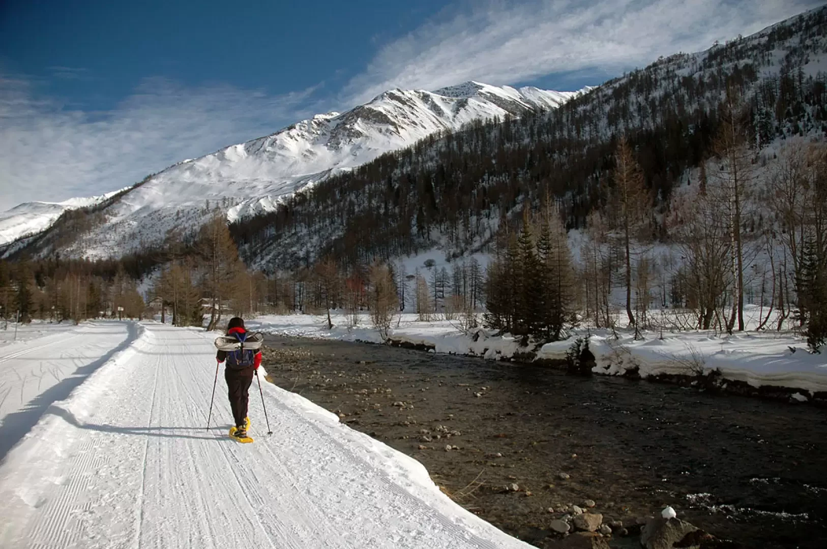
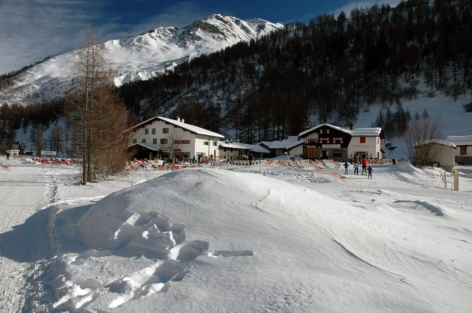
0h00' On reaching the village of Planpincieux, head for the start of the Val Ferret cross-country ski runs. Take a footpath that runs alongside the slopes and into the valley. At first, it skirts the Grandes Jorasses campsite and, after a ten-minute walk, comes to a small chapel: from here, the track flattens out slightly and enters the valley, offering superb views of the Tête de Ferret. On a slightly uphill course, the route first passes Pont, Tronchey and Praz Sec d'en bas (1635m).
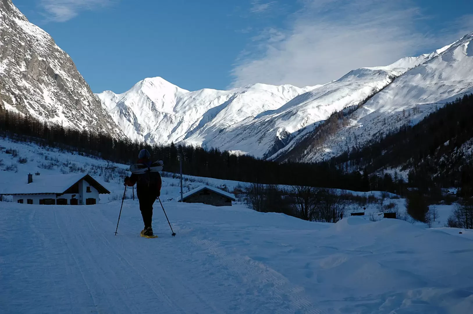
0h40' Having passed these last hamlets, the route skirts the Doire de Ferret and finally reaches Lavachey (1651m).
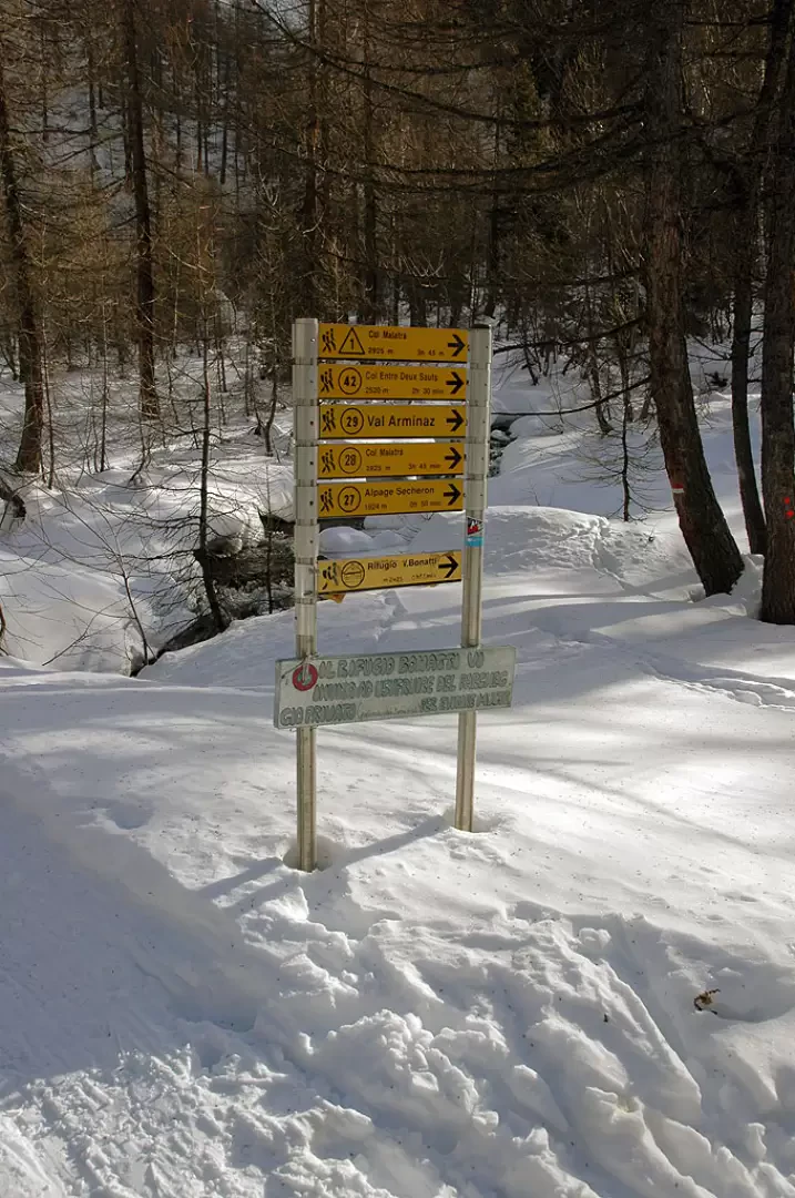
1h00' From Lavachey, continue along the cross-country tracks in a north-easterly direction until you come to a pair of hairpin bends: after these, you enter a fir forest and reach the junction for the hut (1702m).
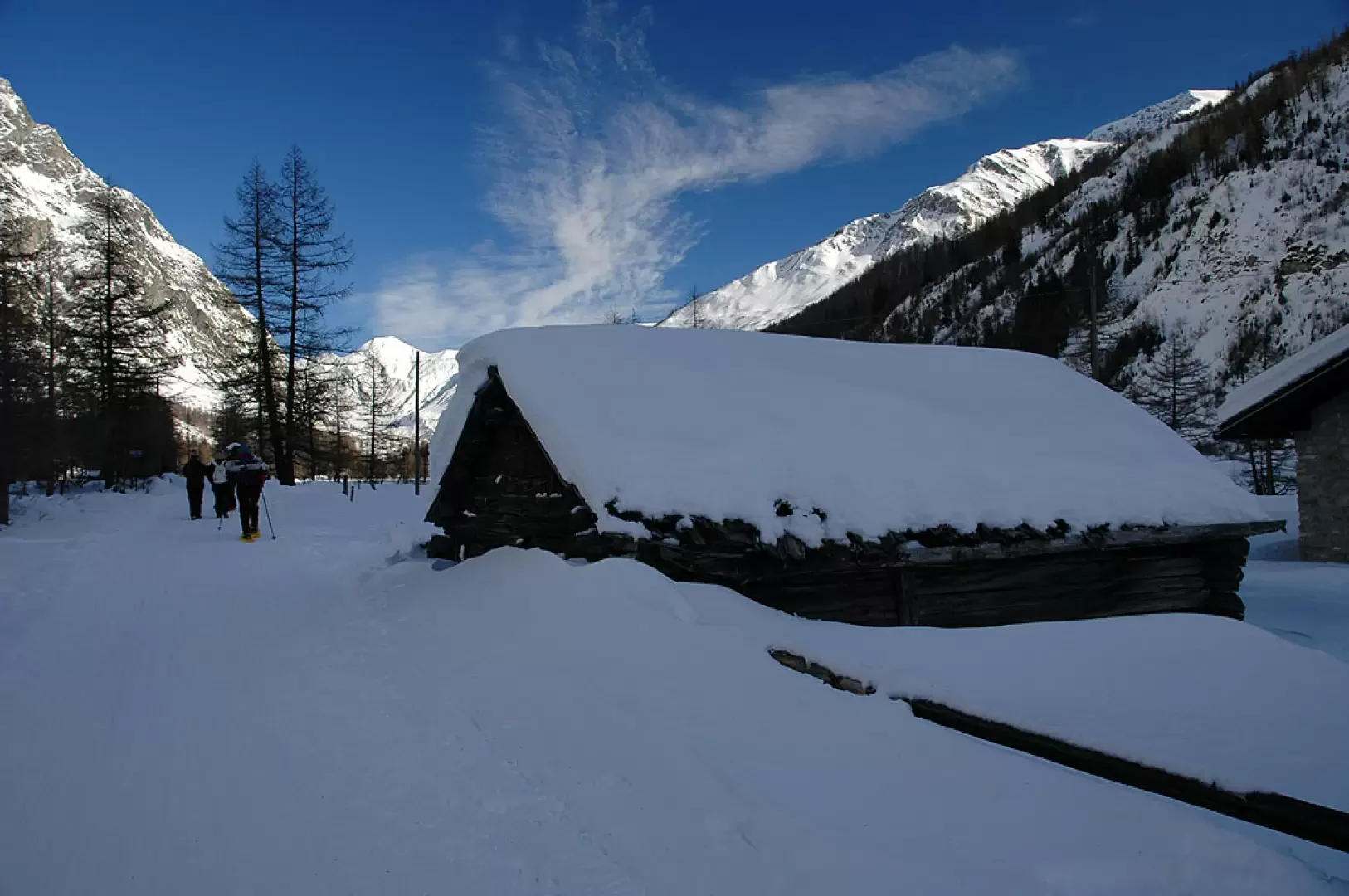
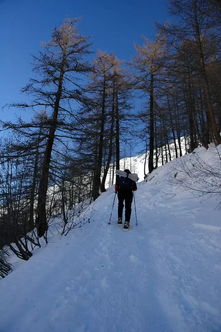
1h20' Take the summer path, turning right following the signs on the markers and start to climb up the forest. The route follows the path and appears quite evident even in the absence of a track (which is unlikely!). With a steady ascent, you gain height until you come to a second marker post immersed in the snow (1857m).
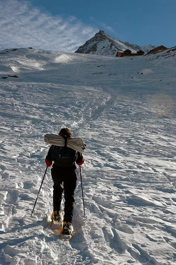
2h00' Turn left and climb up the wood again with a series of twists and turns that allow you to pass the last fir trees and join the snow-covered pastures below the hut. We climb this last stretch with a sustained ascent now outside the forest: the hut appears and, above all, a superb view of Mont Blanc opens up. After these last few metres of ascent, you finally reach the Bonatti hut (2025m, 2h30').
The descent follows the same route as the ascent 1h30').
This route is quite long and crosses stretches that, in the event of heavy snowfall, can be prone to avalanches. Consult the snow and weather bulletins before setting off!
.Riferimenti Bibliografici
- Tracce Lievi - Martini Massimo - Martini Multimedia Editore, Saint-Vincent, 2007
Galleria fotografica
We have been there
Edited by:
Massimo Martini
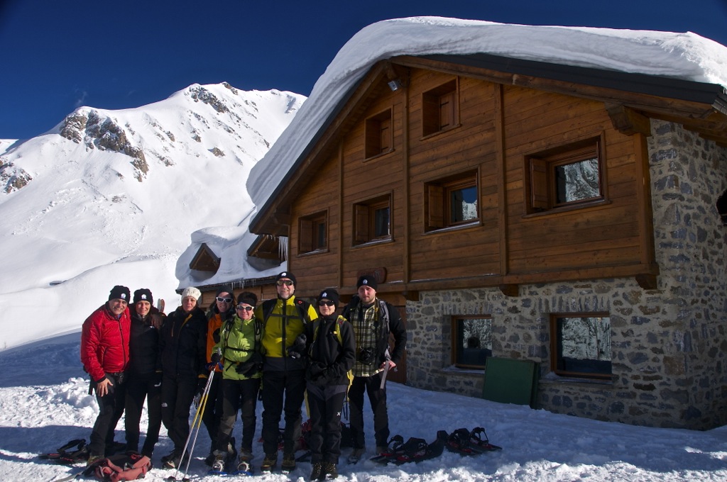
Rifugio Bonatti
Con Claudio, Luca e Stefano.
Traccia presente e ben battuta
Rischio valanghe: 2 su scala 5
Cielo: sereno
Temperatura: freddo, decisamente sottozero
Condizioni neve: ottima, farinosa (niente zoccolo)
Edited by:
Massimo Martini
Rifugio Bonatti
Con Claudio, Luca e Stefano.
Traccia presente e ben battuta
Rischio valanghe: 2 su scala 5
Cielo: sereno
Temperatura: freddo, decisamente sottozero
Condizioni neve: ottima, farinosa (niente zoccolo)
Bella gita anche se la neve non era moltissima! Splendide vedute sul massiccio del Monte Bianco
Informazioni generali
Condizioni via o sentiero: buone anche senza troppa neve
Pericolo Oggettivo: nessuno
Tratti esposti: nessuno
Rischio valanghe: 2 (moderato) su scala da 0 a 5
Affollamento: nessuno
Condizioni meteo
Cielo: sereno con innocue nubi sul Bianco
Temperatura: freddo, vicino allo 0
Condizioni neve: buona anche se non molta