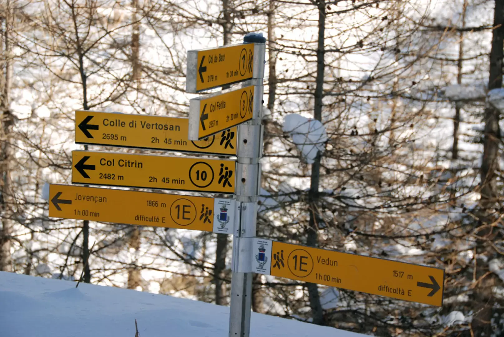
Leaving the motorway at the Aosta Ovest exit, join the main road and take it in the direction of Courmayeur. You will pass the villages of Saint-Pierre, Villeneuve and Arvier. After Leverogne you will pass through a tunnel and come to a roundabout, turn right towards Avise. Cross the bridge over the Dora Baltea and continue on the regional road [SR26], passing the capital of Avise until you reach Cérellaz. Shortly after the latter, you will come to a crossroads, turn left and continue for about 3 kilometres until you reach Vedun, the starting point of the itinerary. You can park in the car park in front of the chapel.
[0h31'] - [21.1km] How to get there with GMaps How to get there with Apple Maps
These directions are based on direct verification carried out at the time of surveying the route so the information should be checked before embarking on the hike. We recommend using a GPS navigator or map app on your smartphone to get up-to-date and detailed directions.
Introduction
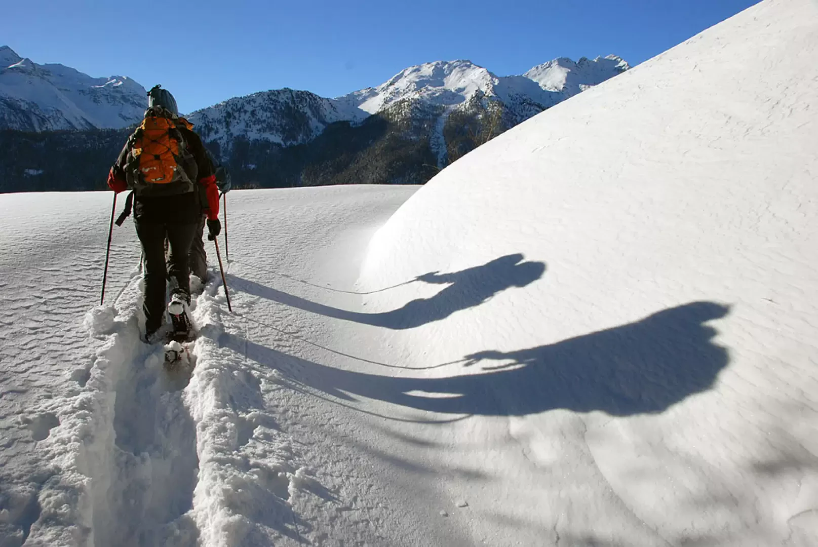
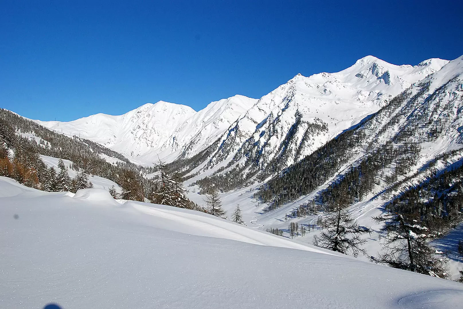
This route runs along the lower part of the Vertosan valley. The route, entirely on a farm track, does not present any particular technical difficulties and is pleasant with interesting views of the valley and the peaks that surround it.
Description
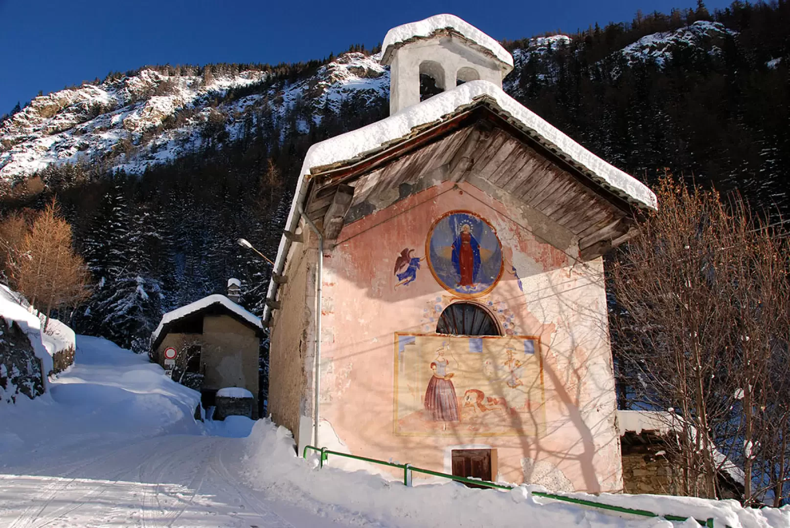
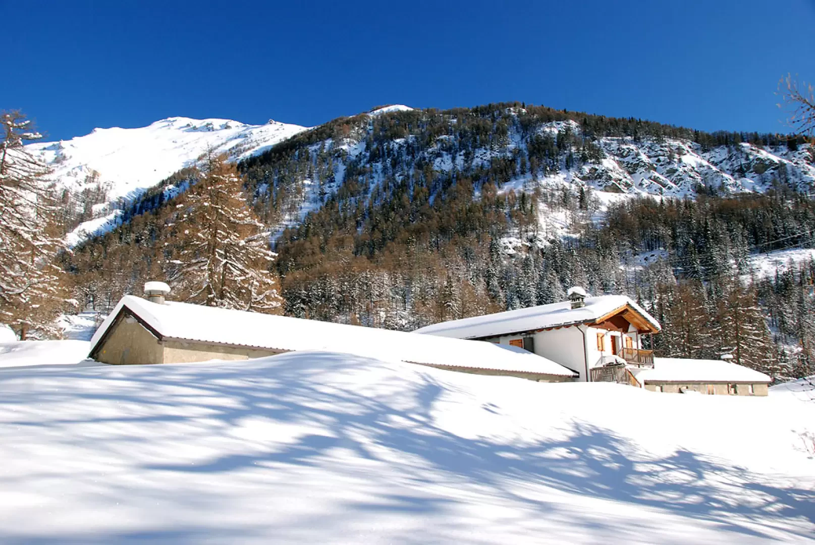
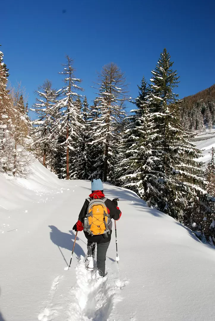
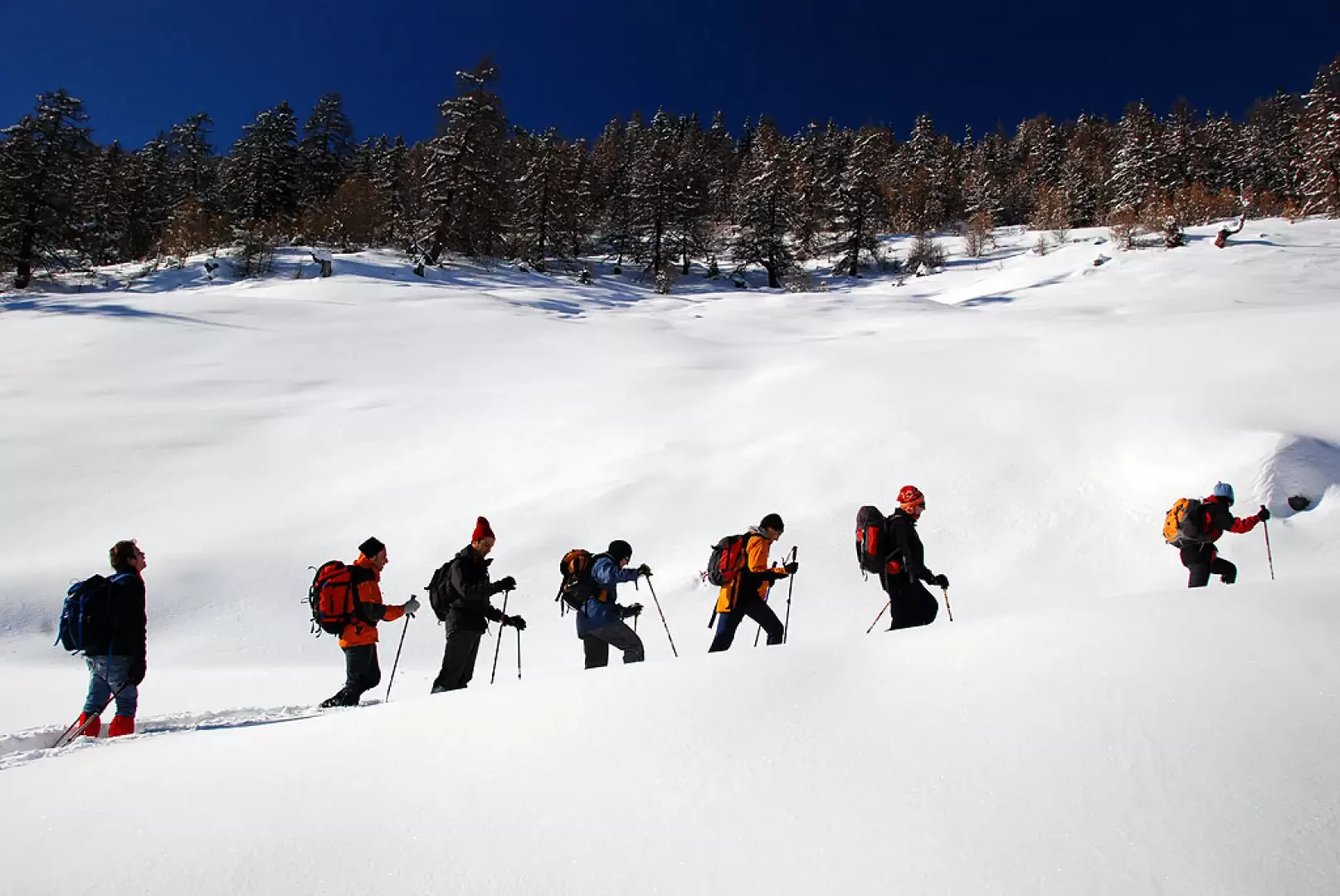
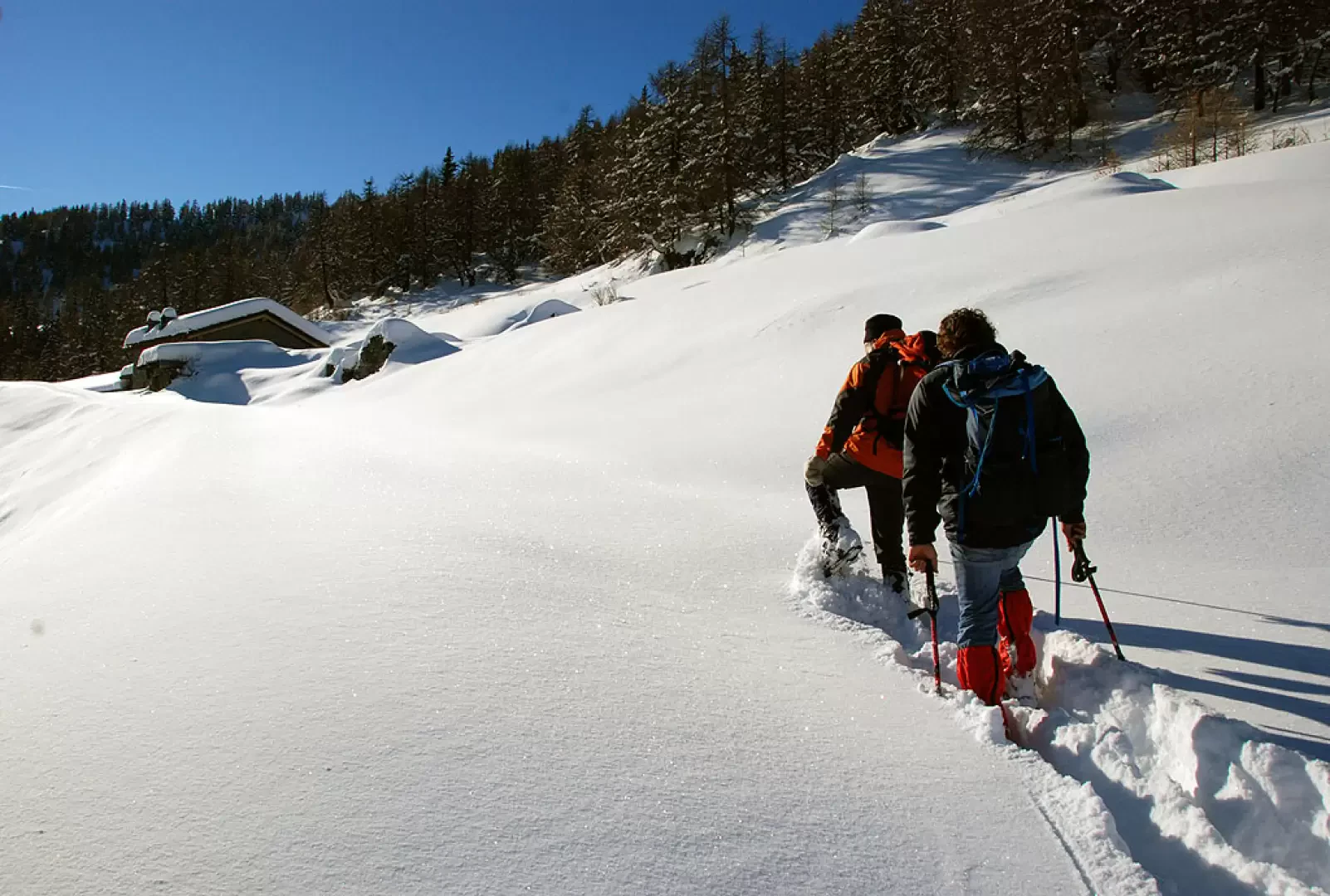
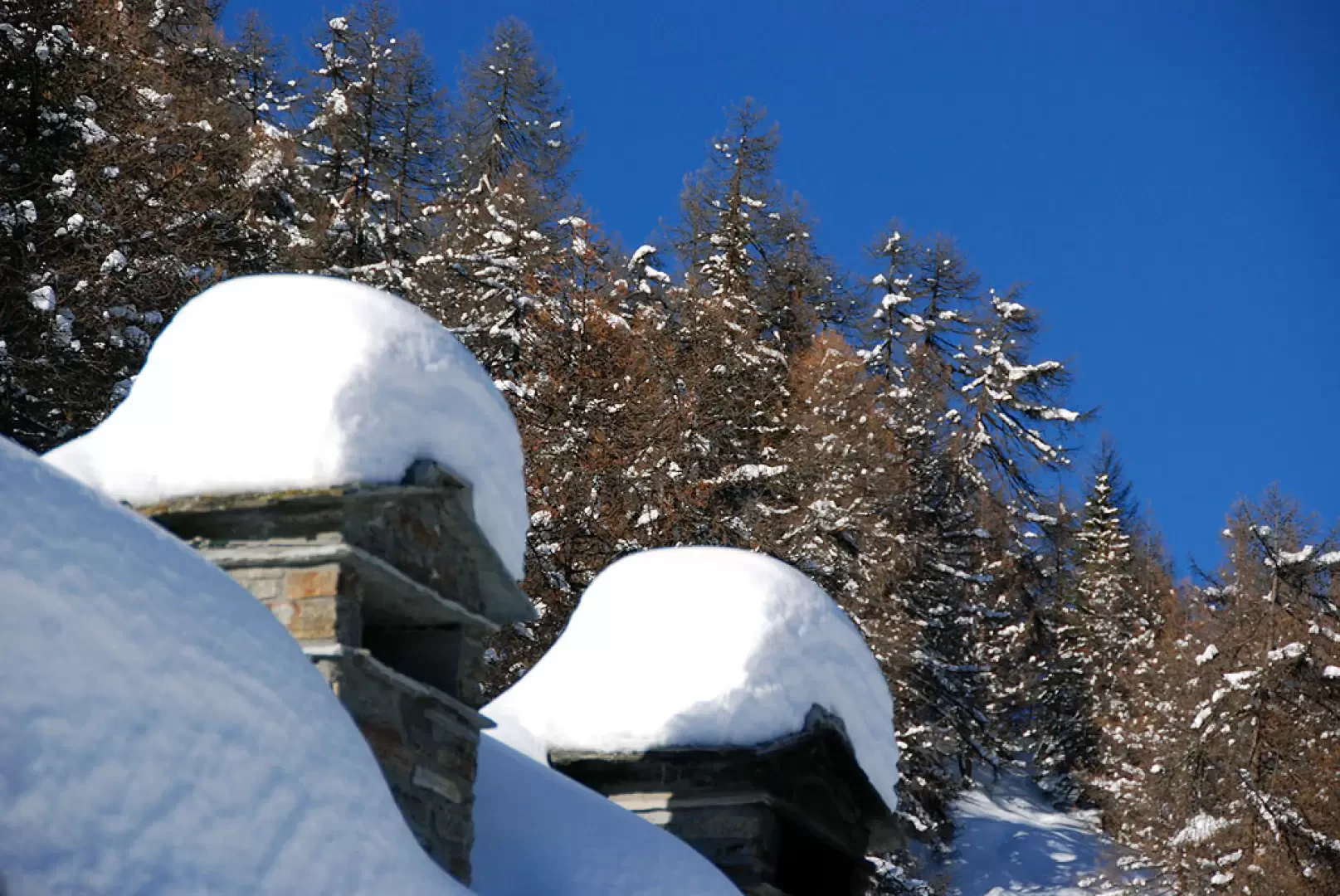
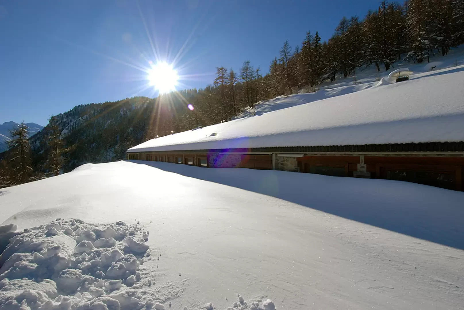
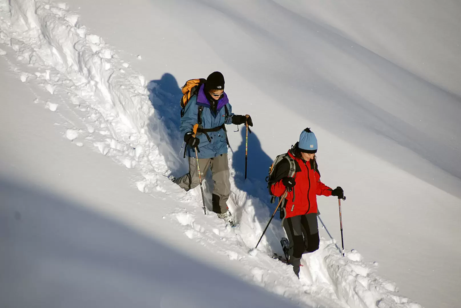
0h00' From the car park, head north towards the snow-covered track that starts just beyond the chapel dedicated to St John the Baptist. Following the signs for the Vertosan valley, go up the track that initially runs alongside the Vertosan stream to a first hairpin bend to the left. Continue above the village of Vedun and, after a couple of hairpin bends, enter the valley in view of the rocky foothills of the Court de Bard. The route runs slightly uphill, mostly straight broken by a few short hairpin bends that allow you to gain a little altitude. The walk proceeds through larch woodland with patches of spruce until you reach the Clapey mountain pasture (1746m).
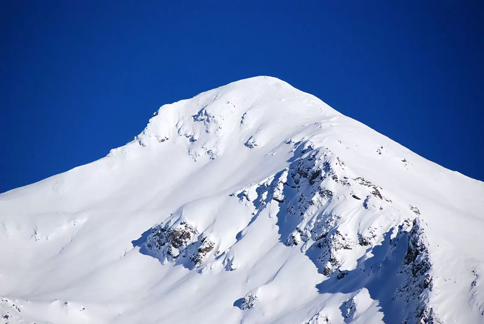
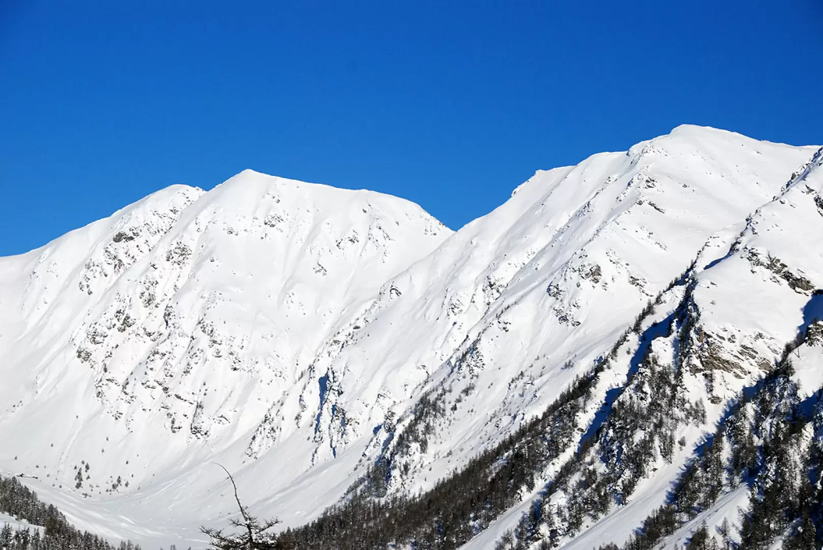
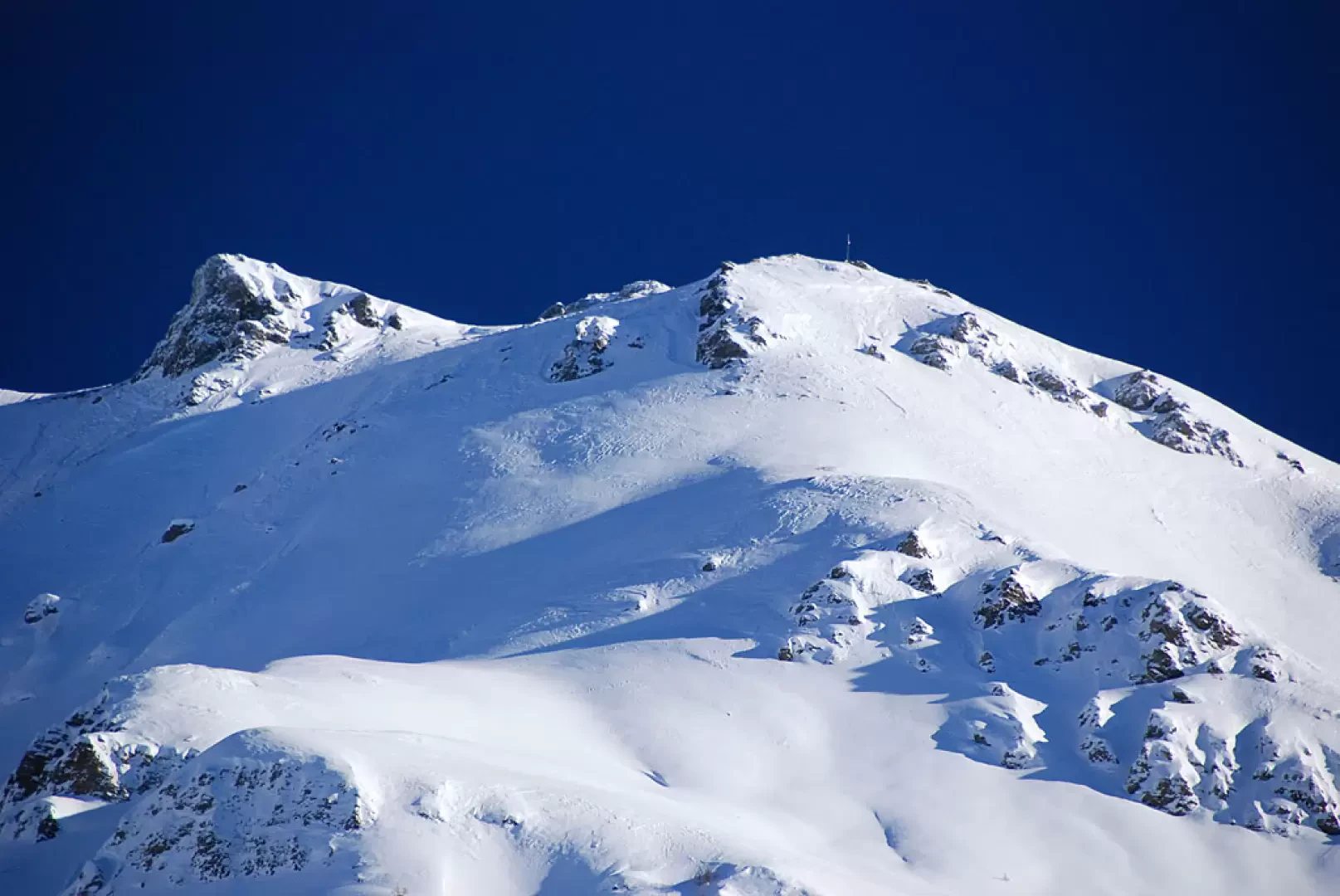
1h00' Proceed for a good stretch that is practically flat until you reach a fork: turn left and start climbing up the track that leads to Court de Bard. Slowly emerge from the forest and you will get suggestive views of the Vertosan valley, Mont Flassin, Mont Rouge de Vertosan and the Oilletta. A few hairpin bends allow you to gain further height until you come within sight of your destination; continue for a short distance until you come to the alpine pastures on the left, turn off in this direction and reach Dzette (1965m) 2h30' after a few flat metres.


Comments (0)
Sign in to leave a comment