From the Châtillon motorway exit, turn left onto Via E. Chanoux. Go past the roundabout, take the third exit and continue through the town centre for about 600 metres, then turn right into Via Menabrea. Follow this road to the roundabout with the 'Matterhorn' in the middle. Continue along the regional road for 18.7 kilometres to Valtournenche, where, towards the end of the town centre, at Hotel des Neiges, turn right and up the municipal road to Cheneil. Follow the road for 6.5 kilometres to the 🅿️ car park at La Barma, the starting point of the hike. The car park is large, but due to the large number of people, it is advisable to arrive early enough on peak days to avoid having to leave your car further down the ascent road. Just beyond the starting point there is a tourist lift, always in operation, which saves 50 metres of ascent.
[0h42'] - [26.9km] How to get there with GMaps How to get there with Apple Maps
The directions provided have been carefully checked as of the date the route was taken. However, it is highly recommended to check for any changes that may have occurred since then, especially regarding the route to the starting point. Before embarking on your journey, it is advisable to consult up-to-date navigation tools for accurate and up-to-date directions. We recommend the use of satellite navigation apps, such as Google Maps or Apple Maps, to ensure the most accurate and safe routing.
Introduction
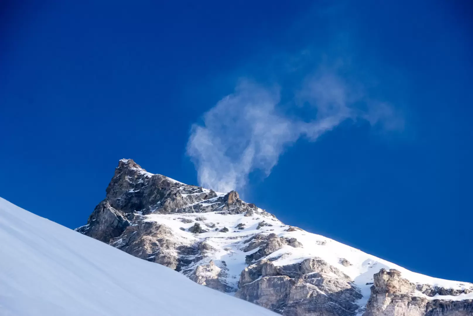
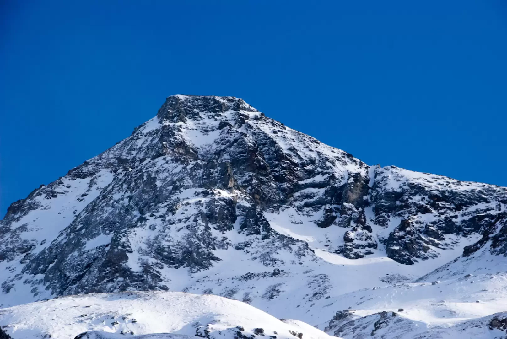
The English term backcountry indicates isolated places that are not necessarily remote: this interesting itinerary in the Comba de Cheneil definitely offers this feeling! A circular route in the presence of the Becca d'Aran and the Tournalins to be tackled in optimal snow conditions (danger 2 - moderate) due to some passages on steep, south-facing slopes... although the sun in these parts arrives in late winter!
.
Description
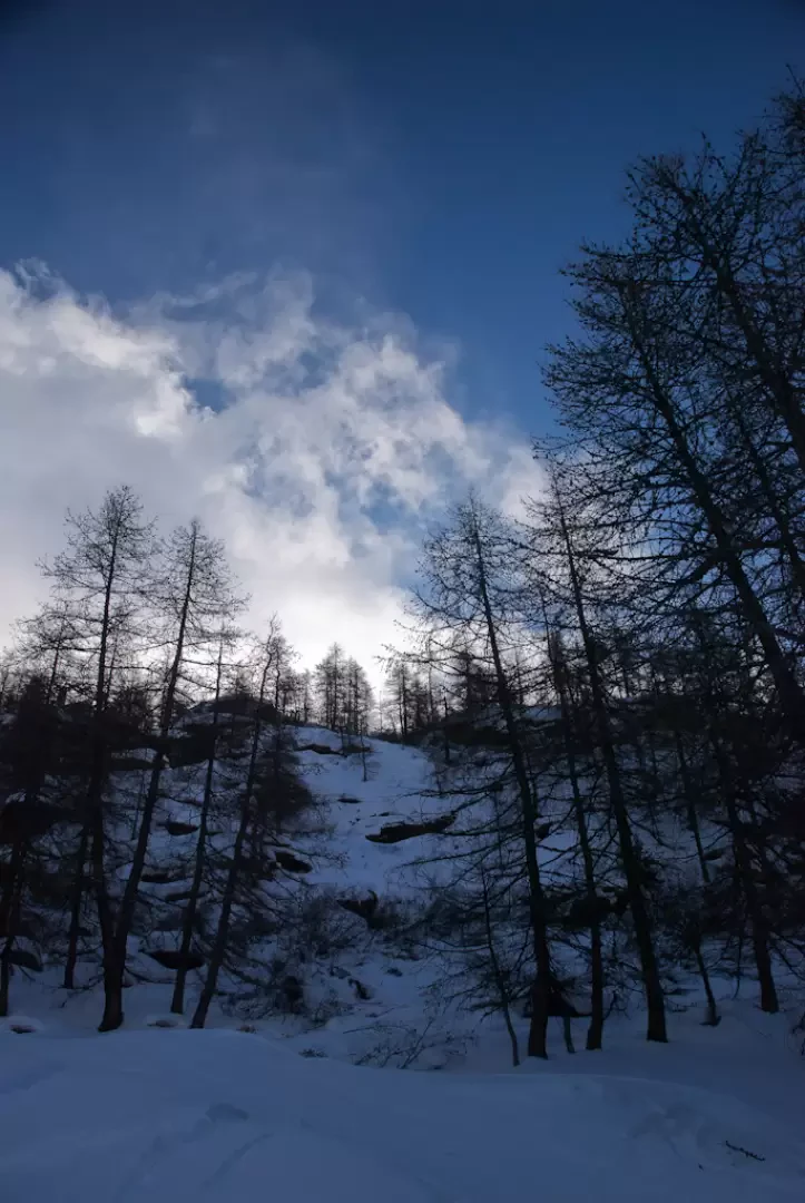
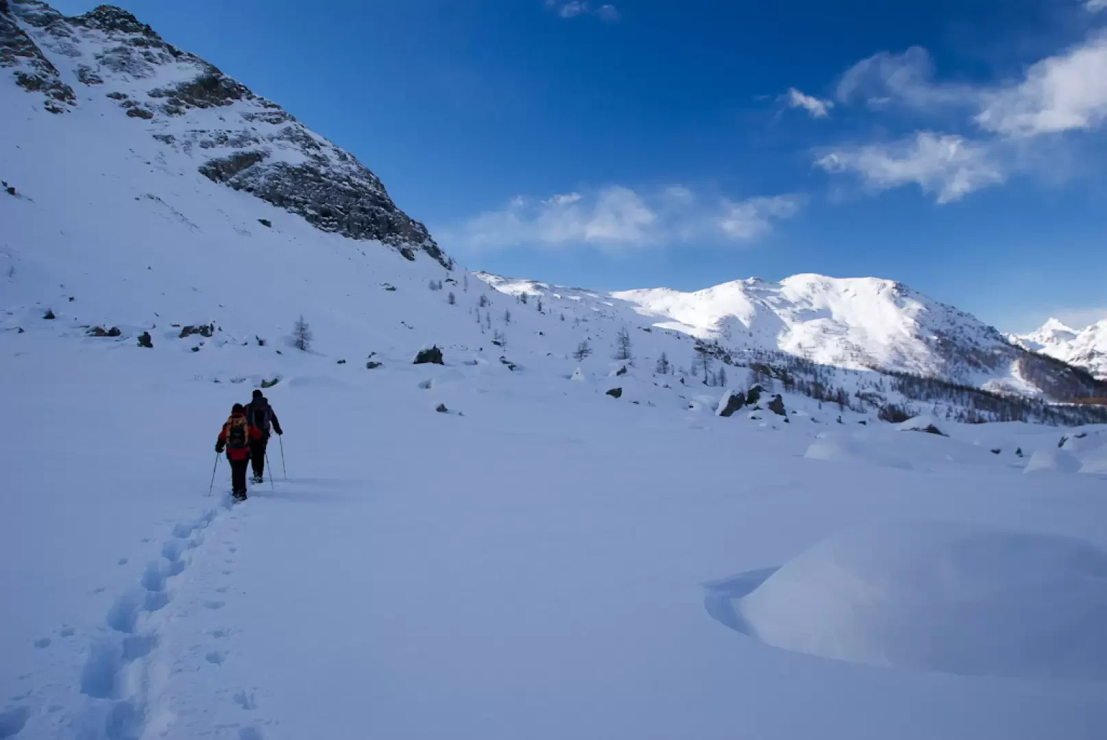
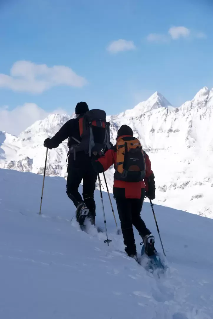
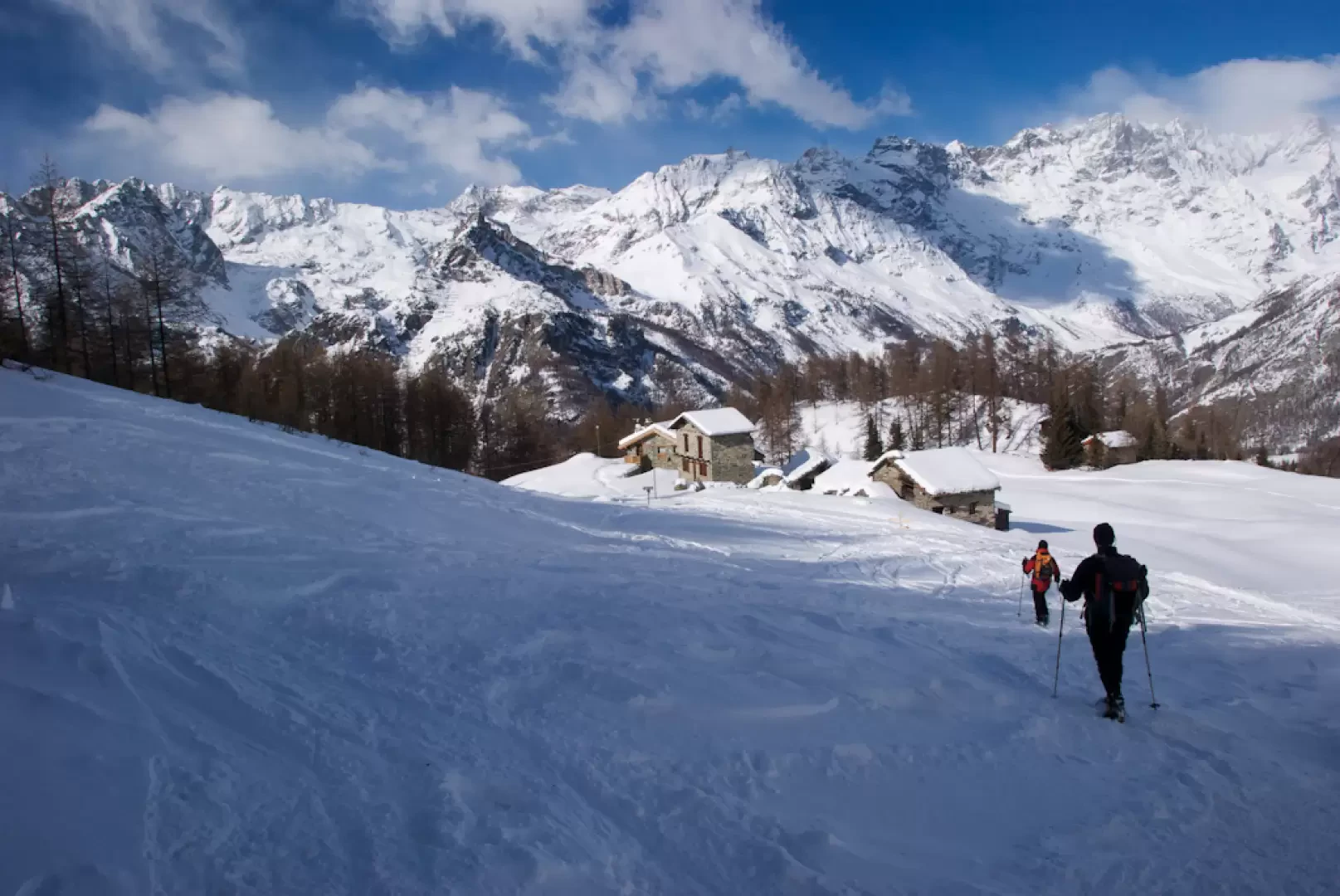
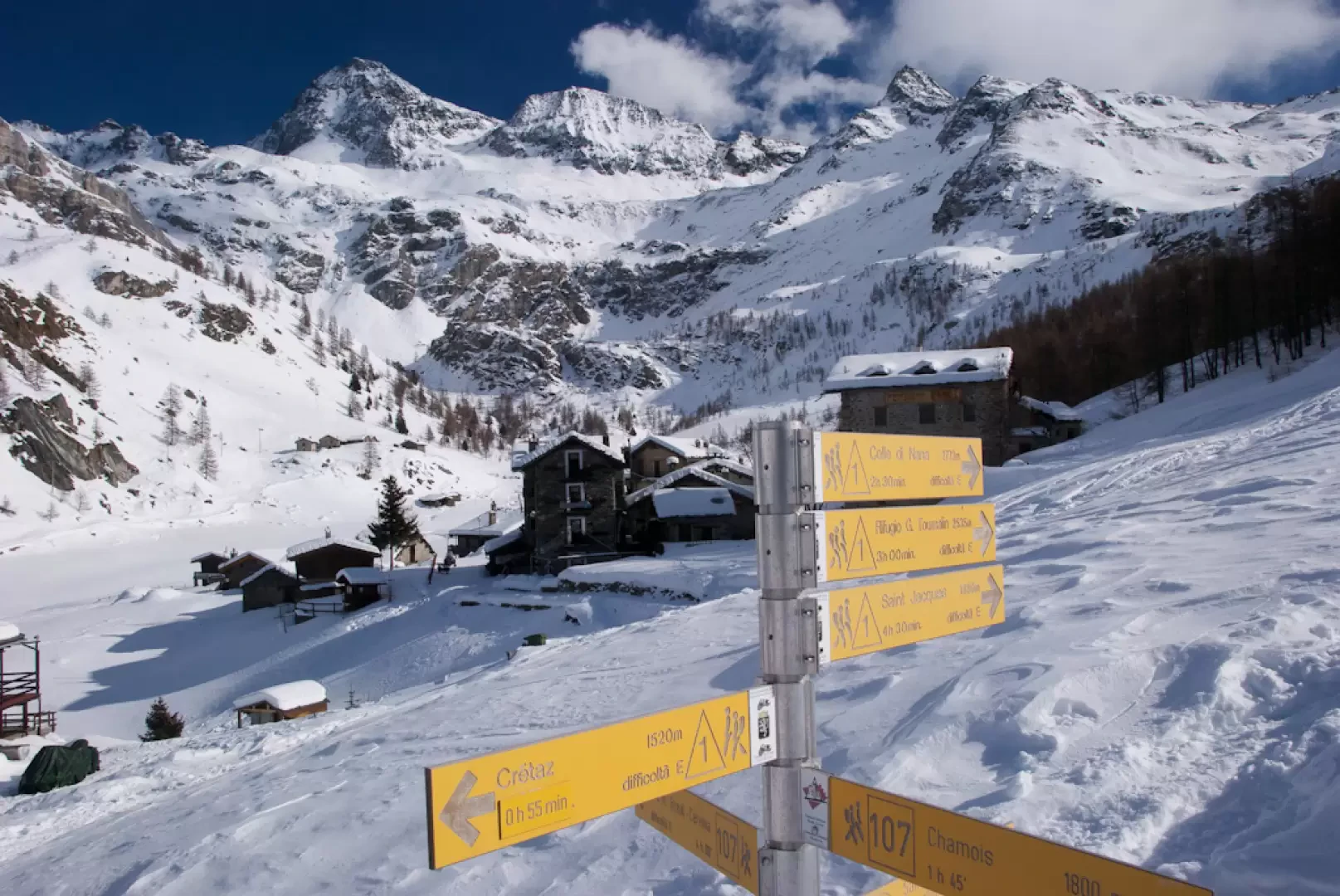
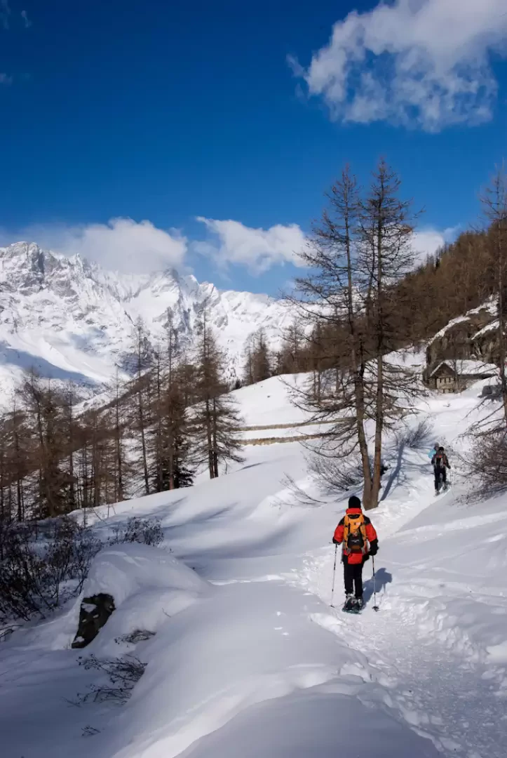
From the car park, take the steep track that in a couple of hairpin bends leads to a small plateau with a pleasant view of the Tsan Peak and shortly afterwards climbs to the edge of the pleasant Comba de Cheneil (2060m, 0h15). After a short descent, leave the track for the village of Cheneil and take the path
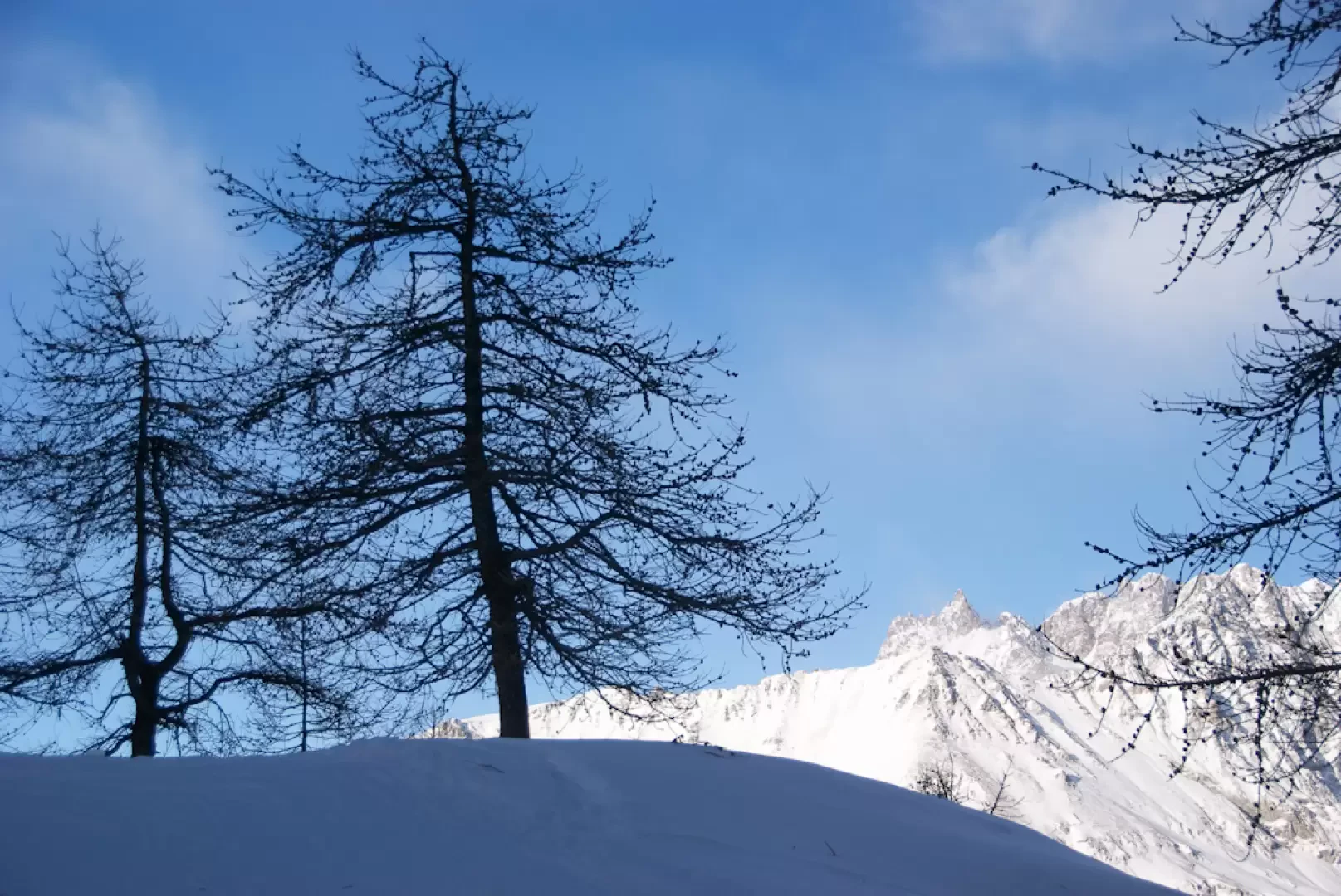
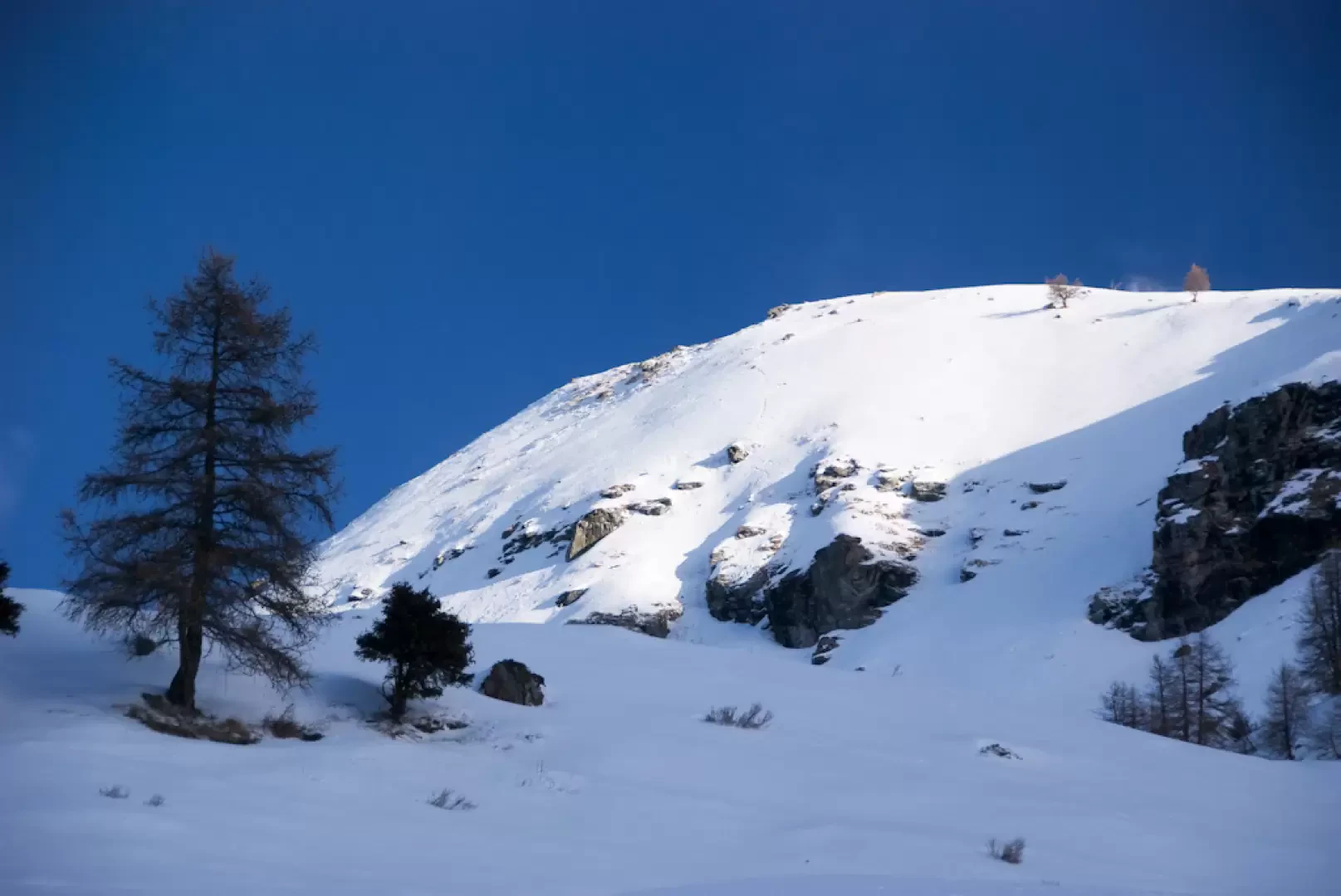
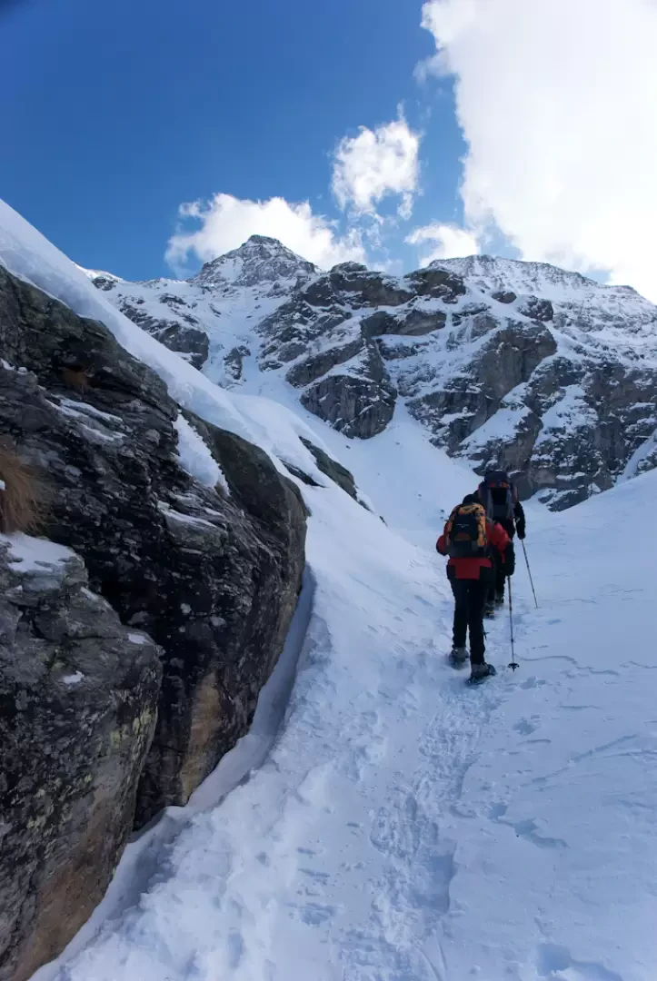
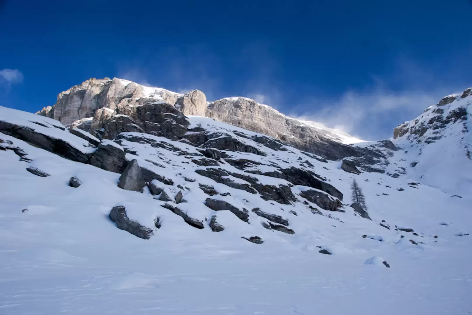
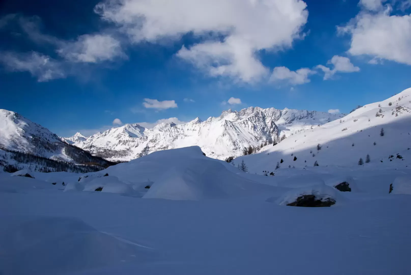
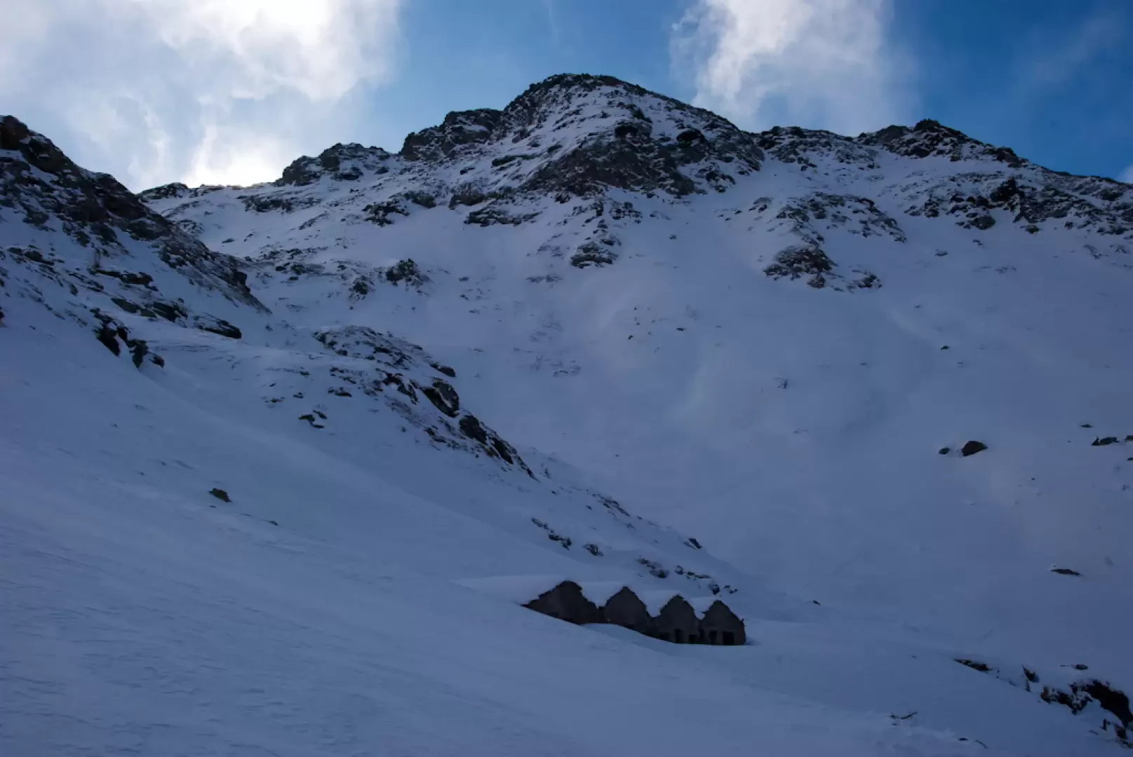
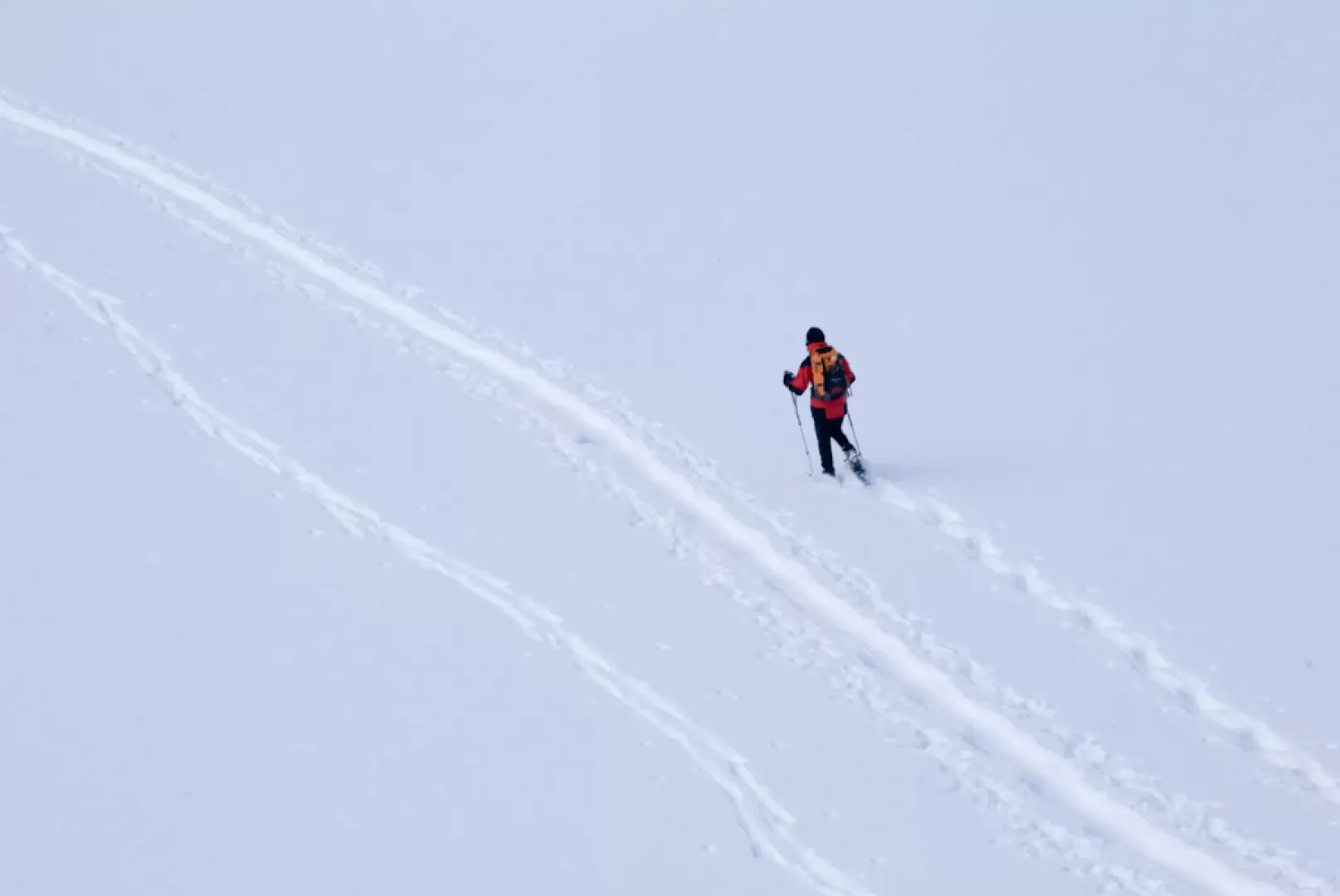
to the Becca d'Aran. The first section is a slight climb that becomes more accentuated as you approach Château (2131m, 0h20'). Neglecting the departure for Mont Molar (possible tracks branch off to the left), proceed in a straight line, taking you to the foot of a steep slope where spontaneous avalanche falls are also possible (proceed with caution!). Follow the summer path to reach a small plateau, where the ruins of Aran are located, preceding the upper part of the Comba de Cheneil: turn right and continue towards the Grand Tournalin, skirting a short rocky slope, then turn right again and head towards the bottom of the Comba. Cross the Cheneil stream, which is normally entirely covered by the snow cover. The environment is now very isolated and requires a minimum of orientation and progression management skills. Having no reference points, two large boulders can be used as reference points in the walk, after which the direction is reversed, taking the orographic left of the comba. As this is a not excessively frequented environment, the tracks are not very present, so one must find the most logical solution to ascend the slope halfway up the hillside, paying attention to a few small boulders that are of absolutely no concern. The ascent up the hillside leads to a small knoll followed by a pleasant descent amidst the beautiful peaks that surround this enchanting place. A few short ups and downs and you reach the normal uphill track for the Col des Fontaines, near the Champ Sec mountain pasture (2335m, 2h00'). The descent now begins, which I recommend tackling off the tracks of the uphill ski mountaineers. The descent is pleasant and in a short time you reach the uphill trail to the Santuario de la Clavalité (2240m, 2h20'), a viable option for those who are not yet satiated with snow! The descent now becomes a little steeper until you reach the pretty village of Cheneil (2097m, 2h40') and from here it takes a few minutes to reach the car park where the hike ends (2023m, 2h50').


Comments (0)
Sign in to leave a comment