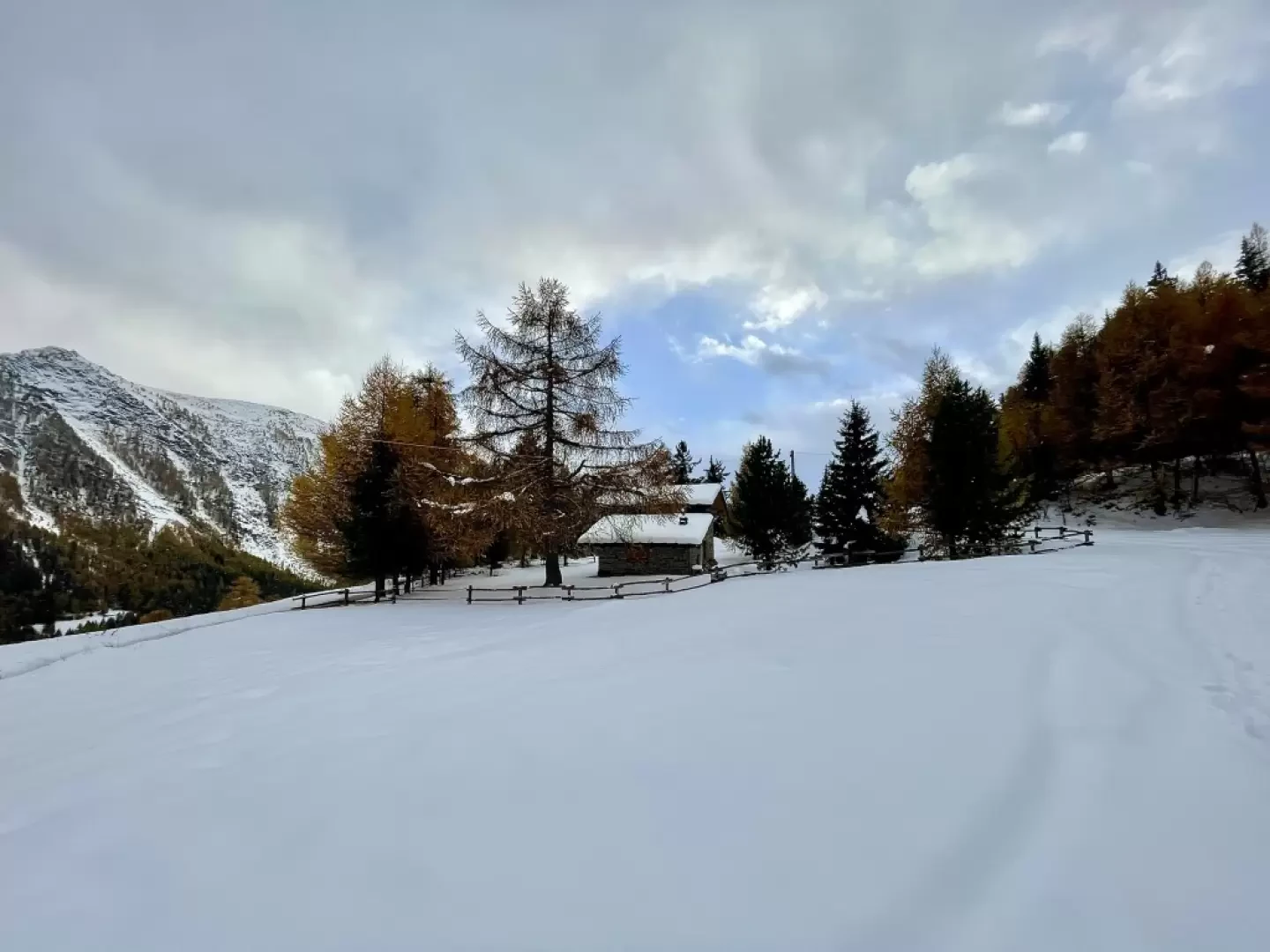
Champcombre, from the Porliod car park

Access
From the motorway junction exit at Nus, turn left onto the main road. After 850m at the traffic lights, turn right following the signs for Saint-Barthélemy and, just before the historic centre of Nus, turn left. Go up the regional road passing the villages of Petit-Fénis and Blavy and, after 14km, you will come to a fork in the road at a bend: turn left and continue towards Lignan. Pass the village of Issologne and reach Lignan after 17 km. At the village square, turn left to ascend the last stretch of road. Pass through the villages of Saquignod, Vénoz and Crét before arriving at a large free car park 🅿️ located in front of the "Porliod" picnic area.
[0h33'] - [20.7km]
How to get there with GMAPS
How to get there with Apple Maps
The information provided here has been verified as of the date of the route survey. Before setting off, you should ensure that no substantial changes have occurred on the route to the starting point. We therefore recommend using the satellite navigation apps provided by Google or Apple for up-to-date and detailed directions.
Introduction
Short walk in the snow along the summer route to Rifugio Magià.
Description
From the car park, continue downhill until you reach the village of Porliod (1882m) and, after a short climb, you will come to the chapel dedicated to Saint Pantaleon and the end of the tarmac road. Continue on a moderate ascent on the snowy track lined with a few groups of larch trees. Enter the Torrent de Chavalary impluvium and, after crossing the stream, reach the Larset dèsot pastureland (1893m). The trail follows the indulation of the slope and continues with a slight ascent that culminates with the arrival at the Nouva group of huts (1955m). The little road now flattens out and then descends to the pleasant clearing of Champcombre (1932m), where we come across an alpine pasture and a few huts.
The return journey is along the same route as on the outward journey.
.