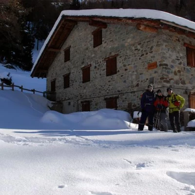
Chaléby, from Lignan
Access
Navigazione stradale
All’uscita dello svincolo autostradale di Nus procedere in direzione nord-est per 220m (0,22km). Alla rotonda prendere la prima uscita e imboccare la Strada Regionale di Fénis, proseguendo per 600m (0,82km). Alla rotatoria successiva prendere la terza uscita e, dopo 97m (0,92km), immettersi sulla strada statale della Valle d’Aosta in direzione Aosta. Proseguire sulla per 900m (1,82km) fino a individuare sulla destra l’imbocco per la Valle di Saint-Barthélemy.
Svoltare a destra su Via Champagne e dopo 71m (1,89km) svoltare nuovamente a destra imboccando Via Aosta/. Dopo 160m (2,05km) svoltare a sinistra e seguire le indicazioni per Saint-Barthélemy, proseguendo sulla strada regionale . Risalire la per 15,7km (17,75km), superando i villaggi di Petit-Fénis e Blavy e proseguendo in direzione Lignan. Al bivio in corrispondenza di una curva svoltare a sinistra seguendo le indicazioni per Lignan e continuare per 190m (17,94km). Svoltare a destra e, dopo 30m (17,97km), raggiungere il piazzale di Lignan, termine della navigazione stradale.
Descrizione del parcheggio
A Lignan si trova un parcheggio 🅿️ gratuito situato nei pressi della chiesa parrocchiale e dell’Osservatorio Astronomico della Valle d’Aosta. Il parcheggio costituisce il punto di partenza dell’itinerario. In caso di posti esauriti, tornare indietro di circa 100m dove, sul lato sinistro della strada, è presente un ulteriore parcheggio 🅿️ gratuito. Nei pressi dell’abitato è presente un fontanile 💧 utile per l’approvvigionamento idrico.
Accesso con mezzi pubblici
La località di Lignan è servita da autobus di linea gestiti da Arriva Valle d’Aosta con collegamenti da Nus. Consultare gli orari aggiornati al seguente link ufficiale: https://aosta.arriva.it
La frequenza delle corse può risultare ridotta nei giorni festivi e nel periodo invernale; verificare sempre gli orari prima della partenza.
Distanza e tempo di percorrenza
🕒 Tempo di percorrenza: 27 minuti
📏 Distanza: 18 km
Navigazione GPS
📍 Come arrivare con Google Maps
📍 Come arrivare con Apple Maps
Nota importante
Le indicazioni fornite sono state verificate alla data del rilievo dell’itinerario. Prima della partenza, è consigliabile verificare eventuali variazioni del percorso. Per ottenere indicazioni aggiornate e dettagliate, si consiglia l’uso di Google Maps o Apple Maps.
Introduction
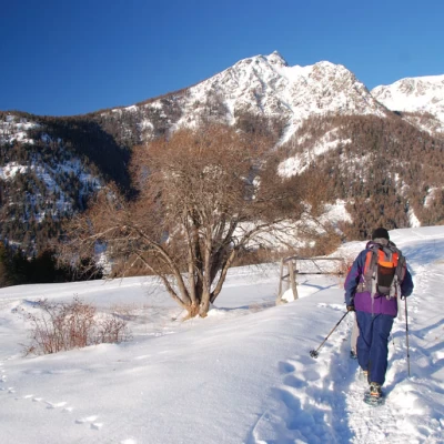
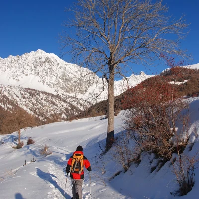
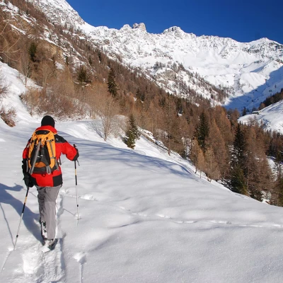
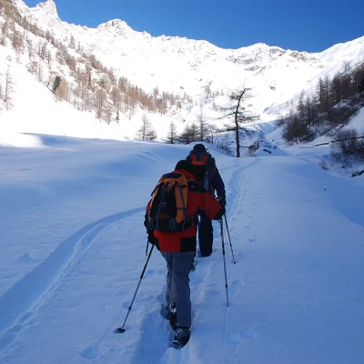
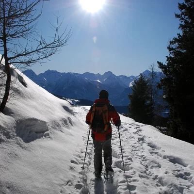
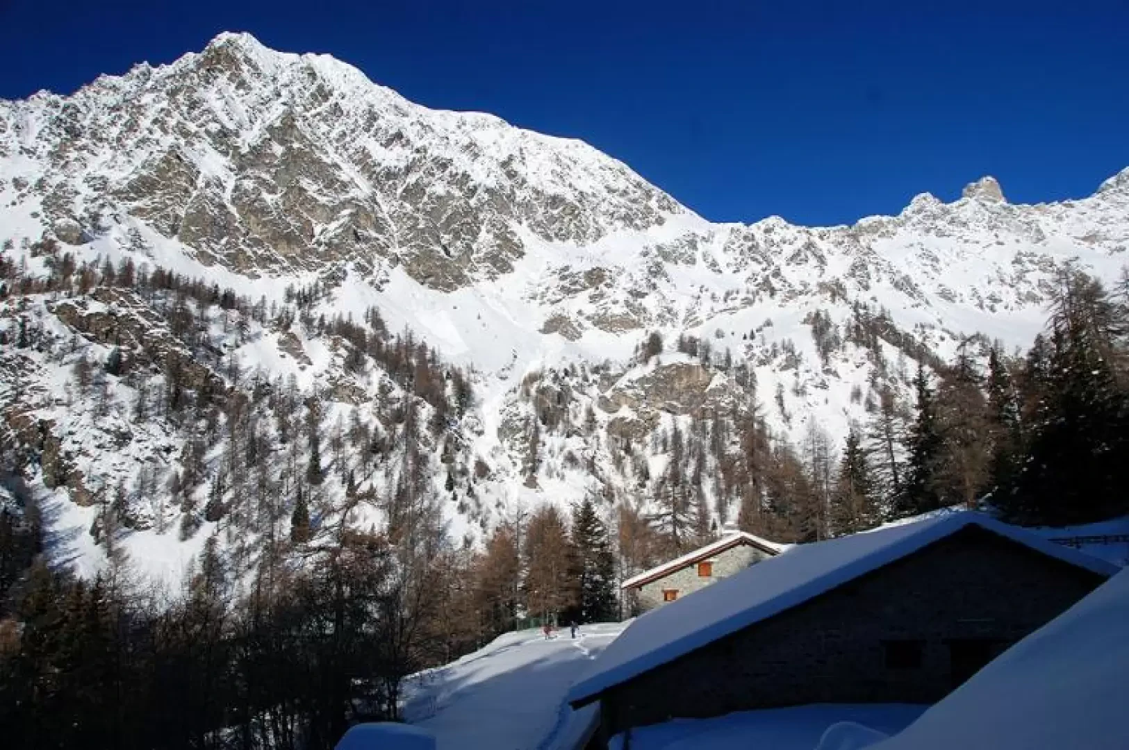
Saint-Barthélemy offers many possibilities for winter activities, from Nordic skiing slopes to interesting ski-mountaineering and snowshoeing itineraries. The itinerary proposed here allows you to discover a part of the ski area that is not very well travelled but certainly fascinating: the Comba de Chaléby. The itinerary develops in a loop and should only be walked in optimal snow conditions.
.Description
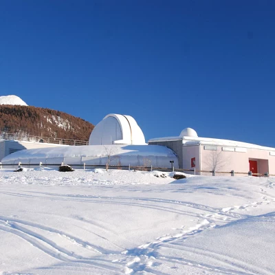
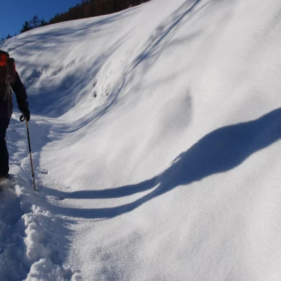
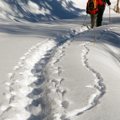
Leaving the car behind, walk in the direction of the lane leading to the Astronomical Observatory, after a few metres you will come to the snowy slope to the left of the lane, put on your snowshoes and begin the walk. Go up the snowy slope parallel to the little road until you reach the Astronomical Observatory, which remains on the left of the direction of travel. Just before meeting a house, turn left and take a level track (1674m, 0h10').
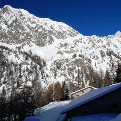
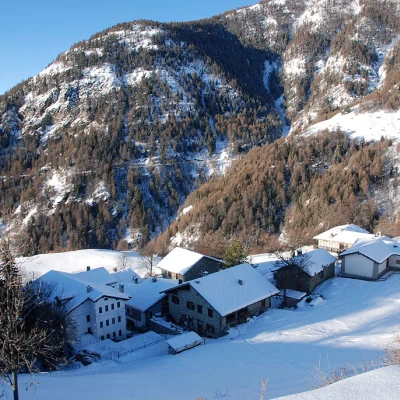
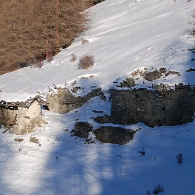
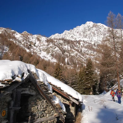
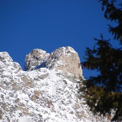
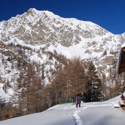
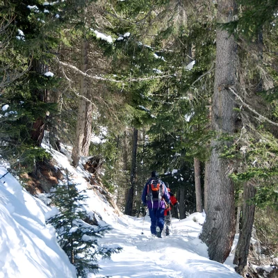
Now proceed along the track, which heads through the pastures above Clemensod. The direction of travel veers slightly to the right, entering the Comba de Chaléby in the direction of the south-east face of Mont Faroma. After crossing a larch forest, it makes a slight turn to the left before glimpsing the ruins of Méant damon. You enter a forest of larch and a few fir trees as the ruins of Méant damon appear. After crossing an impluvium, you reach the cottages of Pléoles dèsot (1788m, 0h50'). Still in the forest, you approach the stream by crossing it on a small bridge near a water intake of the Ru de Saint-Barthélemy. After crossing the bridge, go up the orographic right-hand slope, still following the track, making a traverse (assess the condition of the snow cover) until you reach another track: turn right here and, after a few hundred metres, you will come to the signpost (1914m, 1h20') indicating paths (8) and (9) for Col Léché and Collet respectively.
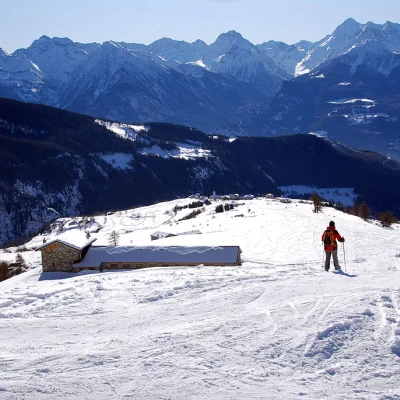
Neglect the diversions to the left and proceed, still on level ground, until you reach the ruins of Champ Vert (1923m). After a nice level stretch in the forest, turn slightly to the right and walk again close to the Chaléby stream: here, on the right, is the access track (1,961m, 1h35') to the Chaléby dèsot cottage. Disregard the diversions and continue for a few hundred metres until reaching a snow-covered bridge that allows you to cross the stream again. The destination is close at hand; walk along a slightly uphill track to the hairpin bend that precedes the arrival at the Chaléby alpine pasture (2003m, 1h55').
The return trip can be made along the same route as the outward journey, or you can briefly descend the path that departs from the alpine pasture heading to the right. After a short descent, you meet the junction of another path coming from Chaléby dèsot. Now continue on level ground through the forest until joining a track just above Pléoles damon. Follow the sinuosity of the slope on a wide and comfortable track until crossing the impluvium of the Comba de Méant, where you turn right and finally join the beautiful snowy slopes before arriving in Lignan. When you reach Places damon, turn right and descend on the very busy track past Places di meiten and finally back to the Astronomical Observatory: here, take up again the initial section of the trail that shortly leads to Lignan, the end point of the hike.
