Vincent Pyramid, from the Passo dei Salati

Edited by:
Giancarlo Beretta
Introduction
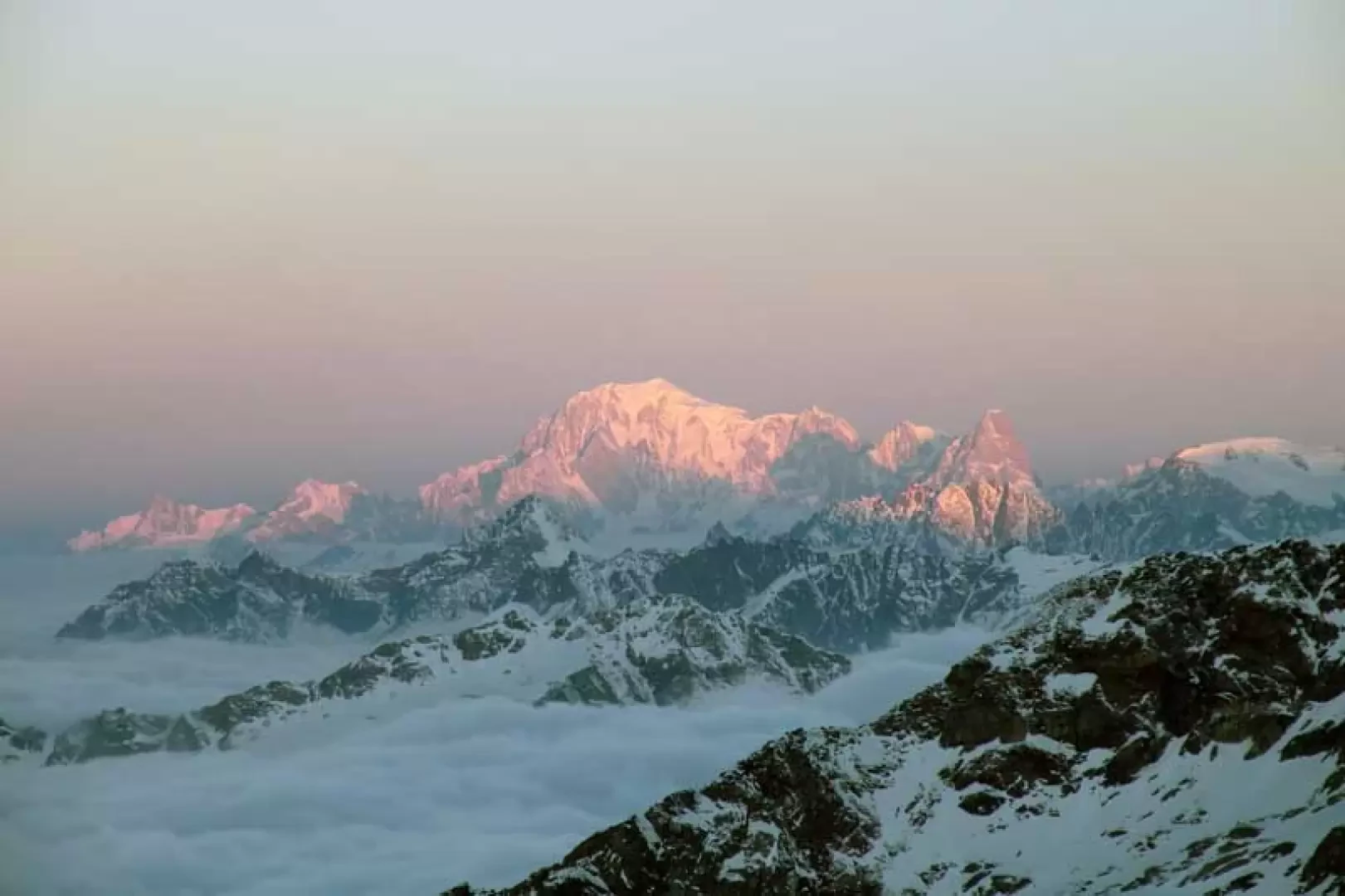
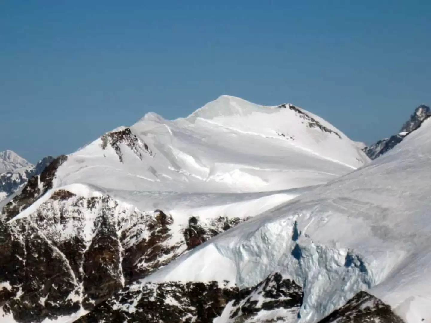
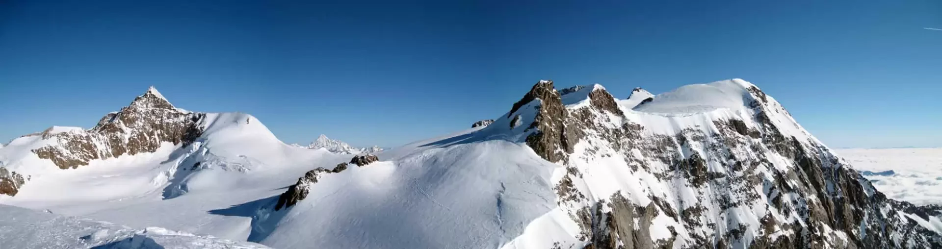
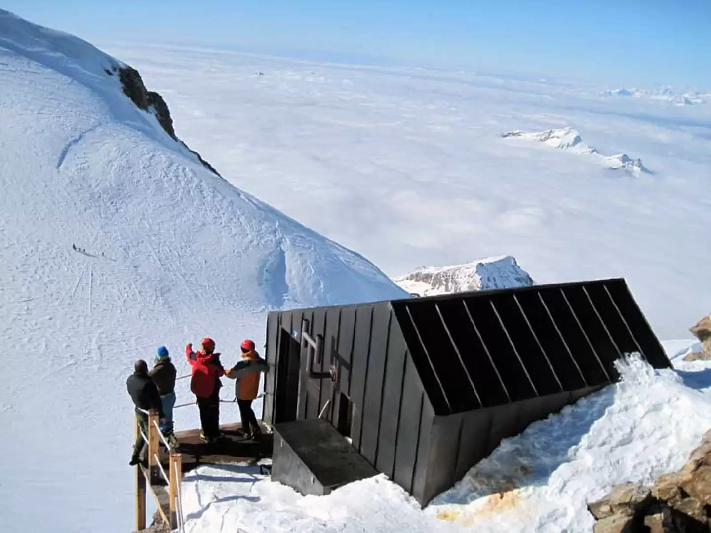
The ascent to this 4000-metre peak, even if carried out with snowshoes, is an alpine itinerary in its own right and takes place in the grandiose glacial environments of the Monte Rosa group, winding its way between the great seracs and the numerous crevasses of the Garstelet and Lys glaciers, which in the spring season are often concealed by snow bridges that become dangerous to cross when they cannot be spotted: the section where one must pay most attention is the one that goes from the branch of the two glaciers to the point where one must deviate for the ascent to the summit. The steepest part is undoubtedly the one between the spur of the Gnifetti hut to below the rocky islet of the Balmenhorn, but this is amply rewarded by the incomparable panorama from the summit over the nearby 4000 m peaks of the Rosa mountain group and the more distant ones of the Aosta Valley and Switzerland, not forgetting the other peaks of the Valle d'Aosta and Piedmont. This ascent can certainly be combined with that to the nearby Balmenhorn, where there is a tall metal statue of the Christ of the summits and, just below, the Giordano bivouac.
Description
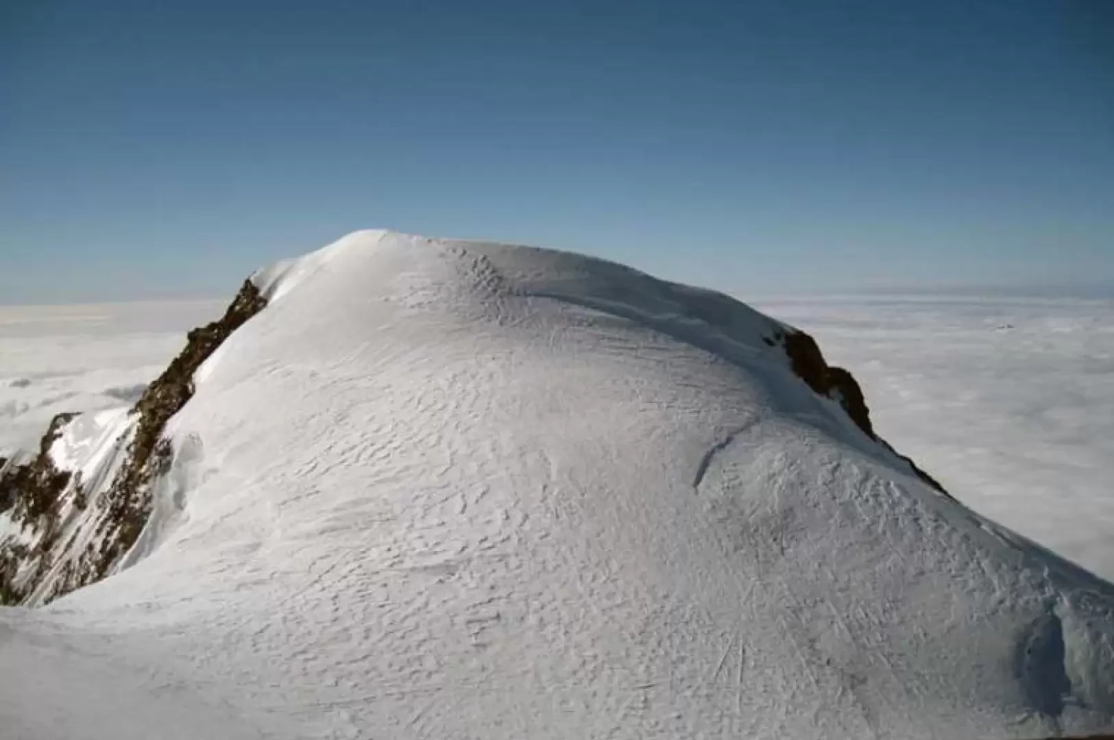
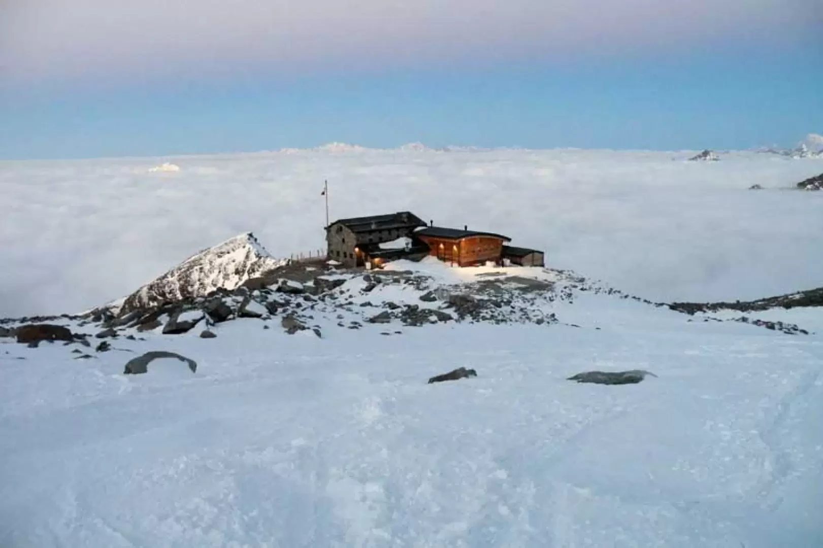
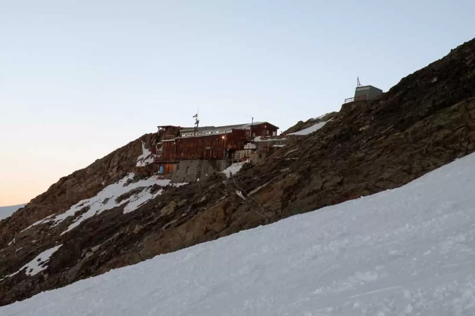
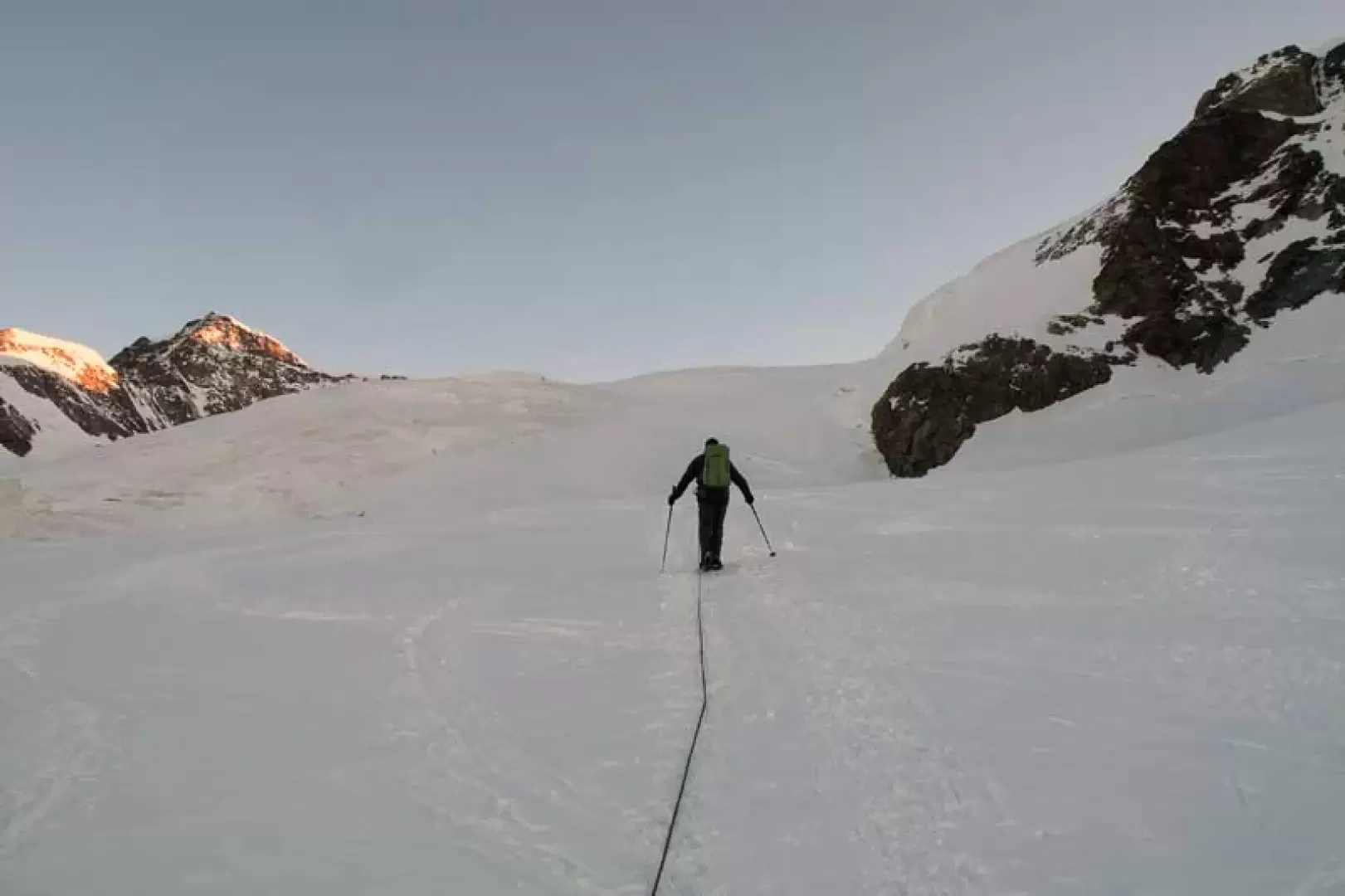
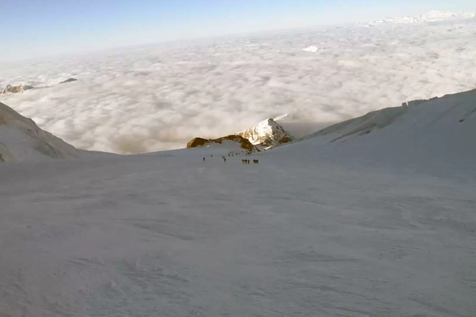
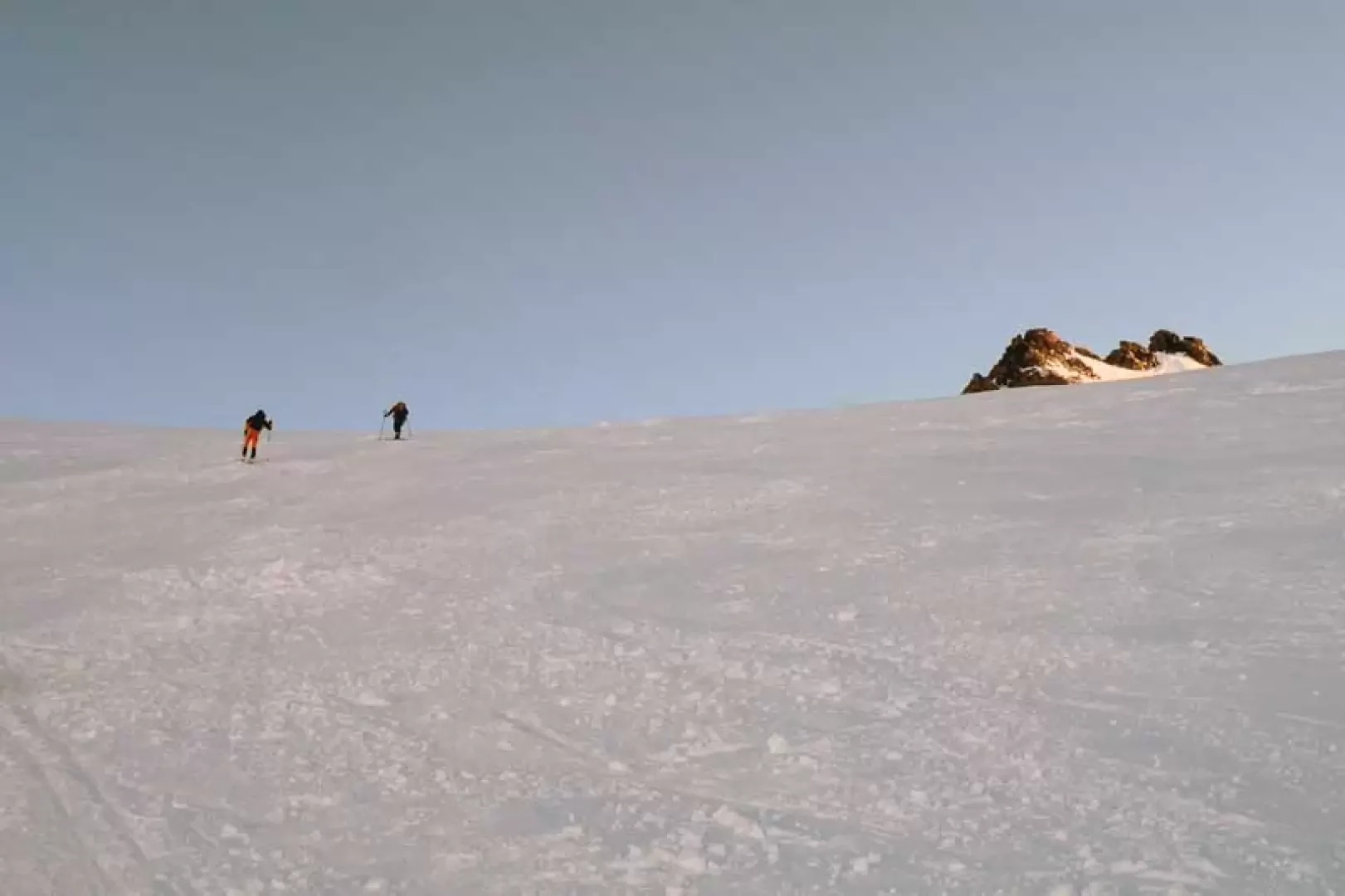
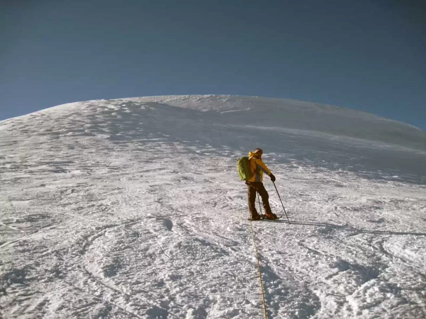
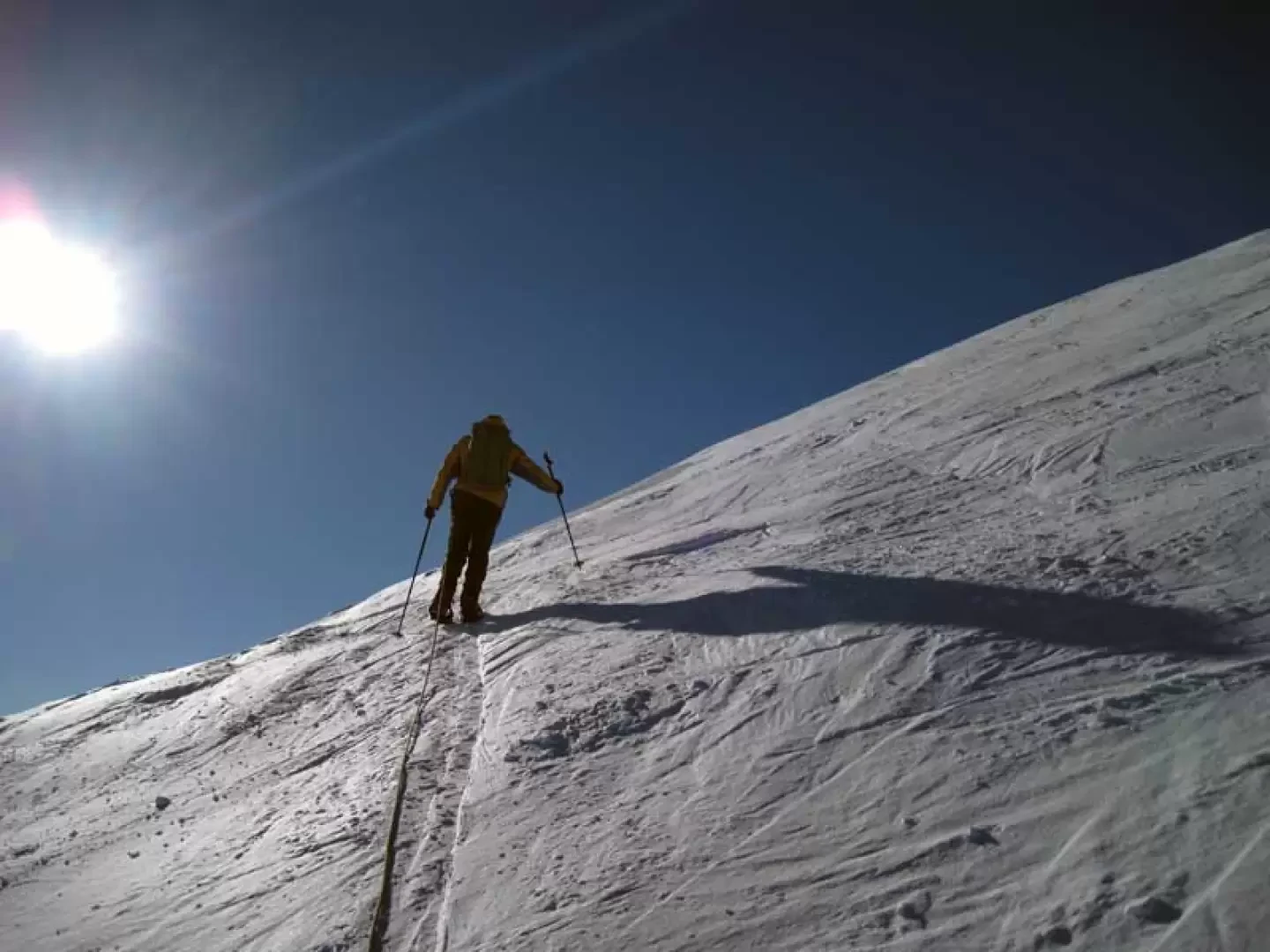
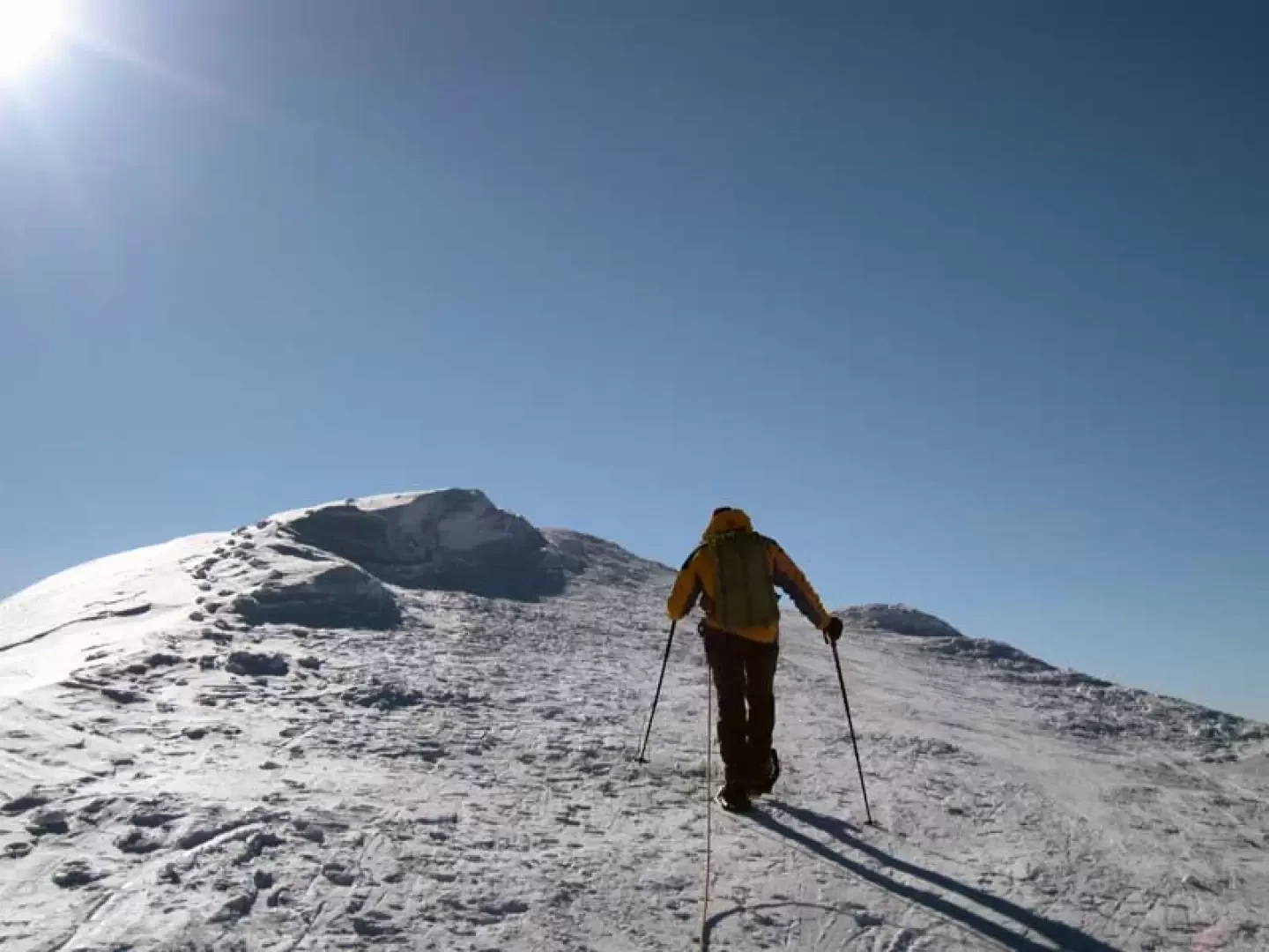
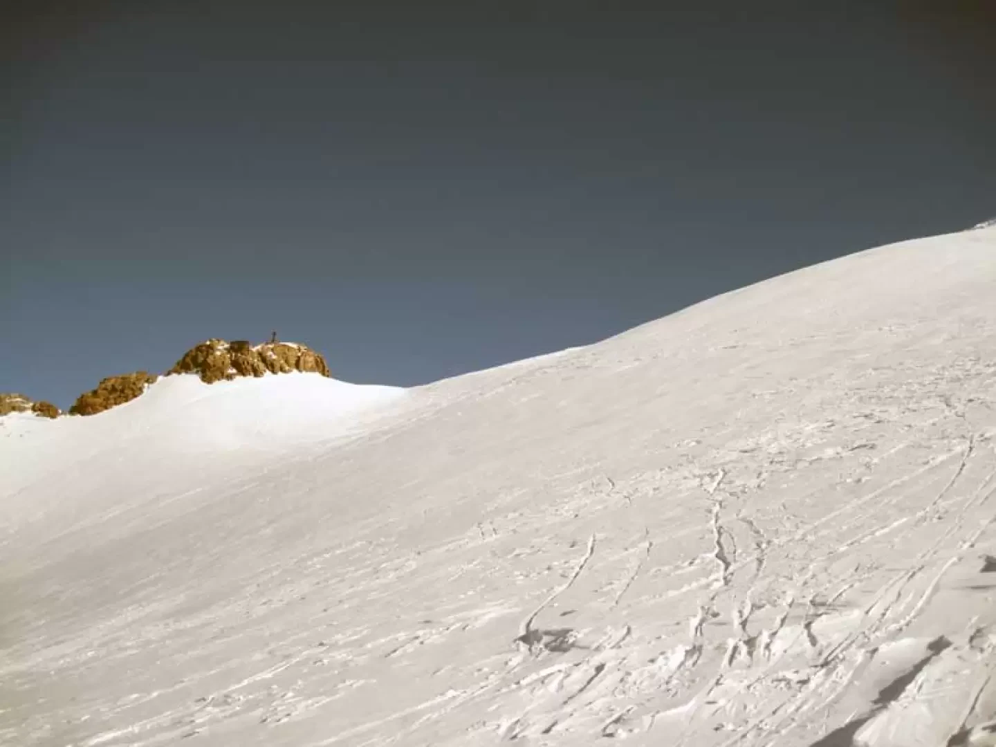
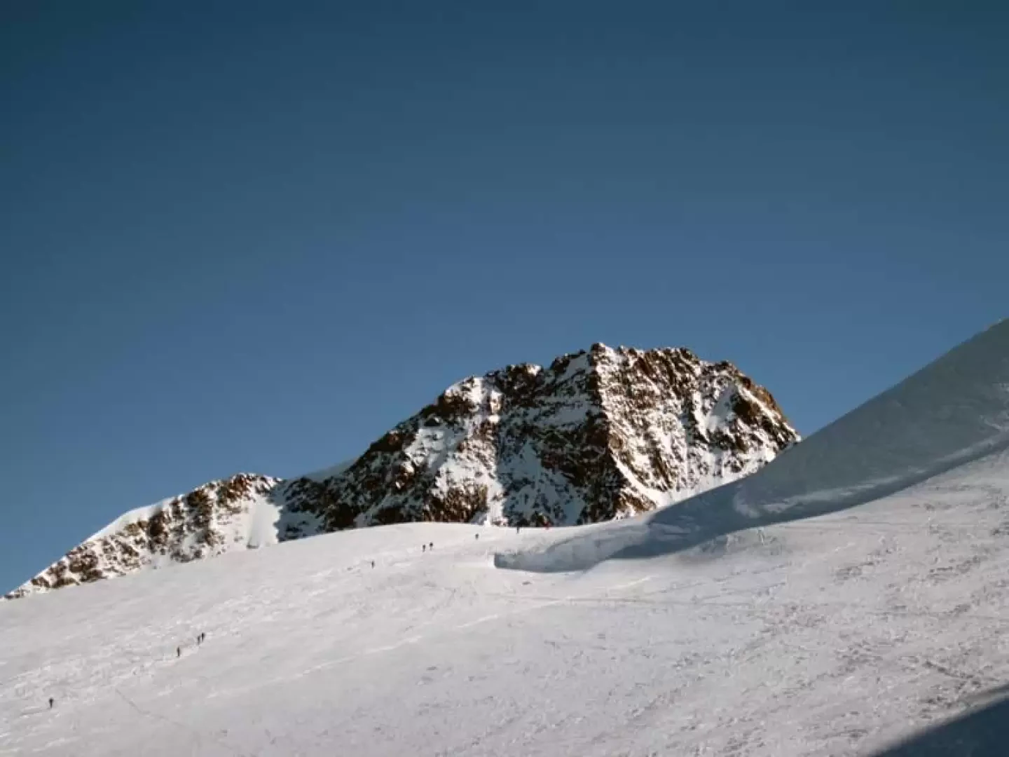
From the exit of the cable car, take the track that heads towards the Indren glacier and follow it for a few tens of metres to then make a diversion to the left, on tracks that are almost always present, and make a wide semicircle from right to left in order to reach the opposite side of the glacial basin at a little marked rocky crest (3375 m). A large fixed rope is spotted on the small rocks to facilitate the ascent and the low crest is circled to the right following the almost always present tracks and some small stone cairns and then a short snowy slope is climbed in the direction of the now visible Città di Mantova hut, which is reached after a short traverse to the left (3458 m). From the back of the hut, go up the terminal tongue of the Garstelet glacier, staying mainly on the right, less steep, until you reach the altitude of the Gnifetti hut, which you pass to leave the rocky spur on which it stands to the left. This brings us to the confluence of the Garstelet and Lys glaciers, which we should ascend between the buttresses of the Piramide Vincent and the large and clearly visible seracs on the left; here the slope increases considerably and, zig-zagging a few times, we gain height, paying the utmost attention to any snow bridges over the crevasses that are always present on this part of the glacier. Still on a constant slope, you reach an altitude of just over 4,000 m, and before reaching the rocky islet of the Balmenhorn, you turn right to enter a small glacial basin, which you traverse for a few dozen metres, then heading decisively to the right in the direction of the high glacier chute. You gain altitude by making a few hairpin bends and a few slightly exposed traverses, soon reaching the wide ridge that leads level to the icy summit. If you wish to extend the ascent to the nearby Balmenhorn, you return roughly to the base of the slope, but without descending too far into the basin, and ascend again with a long, somewhat exposed traverse in a semicircle that cuts across the steep chute, at the end of which you reach the base of the summit rocks; Leaving the snowshoes at the base of these, one easily climbs, with the help of a canapone and metal steps, the last few metres that separate us from the summit on which there is a large metal statue of the Christ of the summits and just below it is the Giordano bivouac (4193 m). On the descent from this peak, it is best to head, in order to avoid the excessively steep slope, to the opposite side of the ascent, where you comfortably descend along a gentle glacier slope, circling the rocky islet that you have just climbed and then taking the ascent route again to the left.
.Galleria fotografica


We have been there

Edited by:
Massimo Martini