Punta Rossa della Grivola, from Cretaz
Description
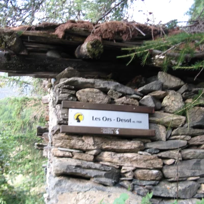
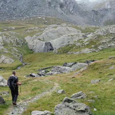
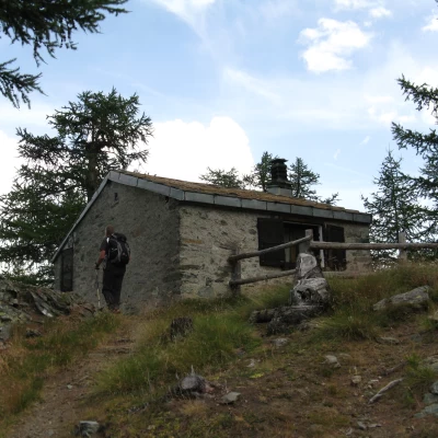
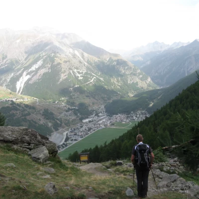
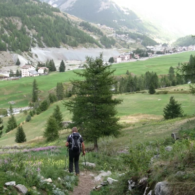
At the bridge over the Grand Eyvia stream, take trail No. 25, which climbs up a meadow and soon enters the forest, crossing it to its summit. You will come across the ruins of Ronc (1663 m), after which the path bends to the right and crosses the Torrent des Ors, after which it begins to climb steeply again in the dense forest. After passing the junction with trail no. 26, we pass more ruins until we reach Les Ors dessus (2052 m). Here you continue on the path, flanking wide meadows on the left. A little further on, you cross the junction with trail no. 25C, which you take to the right and follow until you reach the Casotto del Guardaparco (2289 m). At this point there is also a fountain.
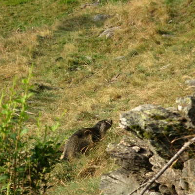
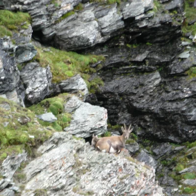
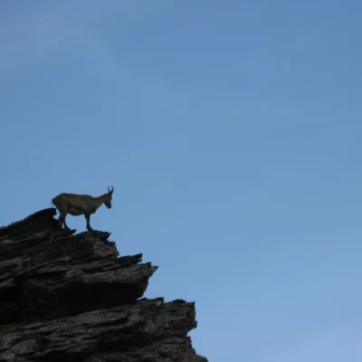
We now go around the hut and descend on the other side, at first still in the increasingly sparse forest, then in the open, we reach and cross the Torrent de Pousset, climbing up the beautiful valley of the same name. At an altitude of 2520 m, the ruins of Pousset dessus are encountered, after which the path, always very evident and well-marked, with a semicircle first to the right and then to the left, leads under the buttresses of the Punta Pousset. Continue up the meadows, which are often animated by grazing chamois, and, after ignoring the junction for the Punta Pousset, continue to climb in an increasingly less green landscape. The first scree slopes begin to appear, but the path remains well marked. After passing a steep uphill section, one finds oneself on a plateau of earth and gravel. The yellow bolts and arrows lead you again to the right, under the rocky ridges often inhabited by colonies of ibex.
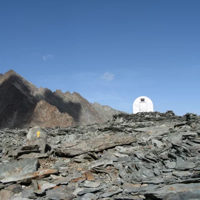
With a sometimes uncomfortable but always clearly visible path, you climb the last few metres, now in steps, and finally arrive at Col Pousset and the Gratton Bivouac (3158 m).
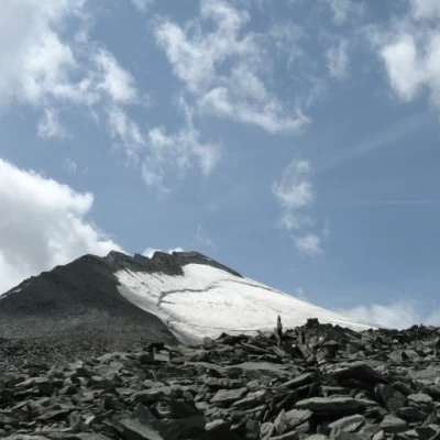
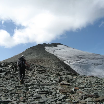
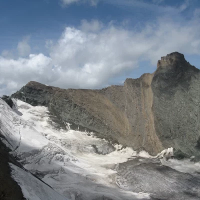
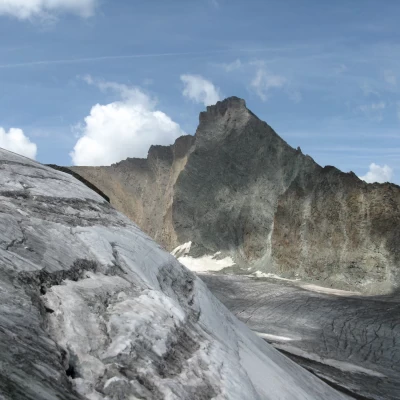
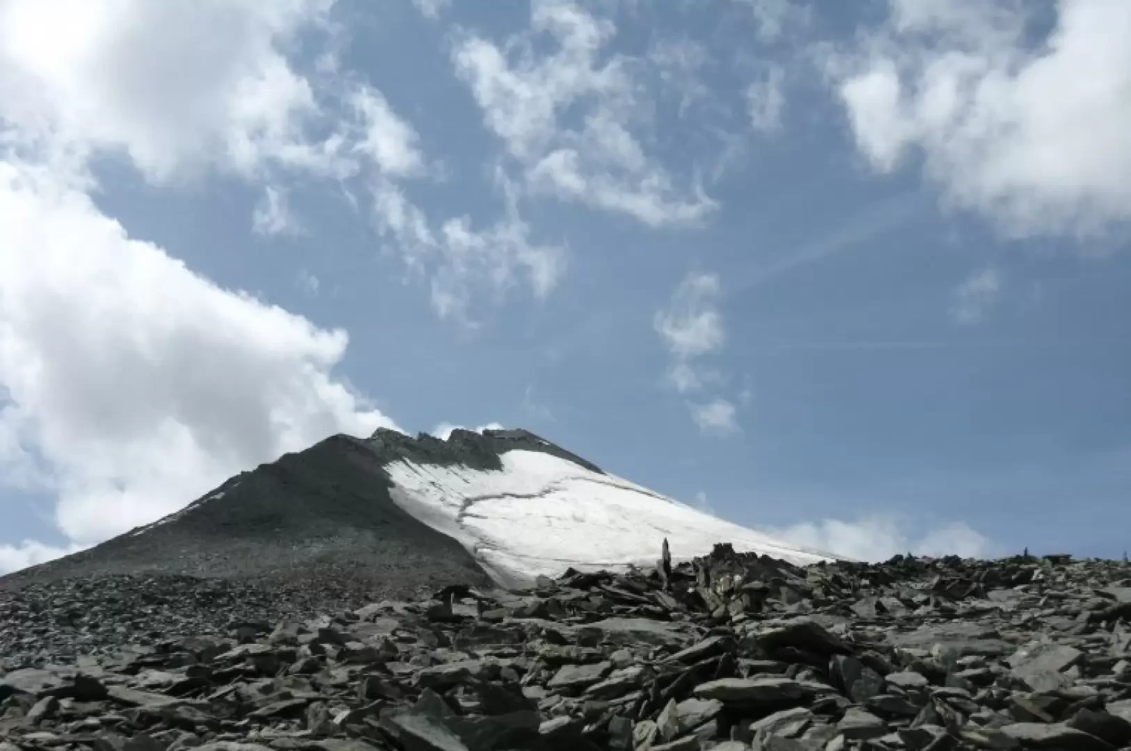
In front, the Grivola towers menacingly behind the imposing Trajo glacier. The view is thrilling to say the least and the environment is more than a little severe.
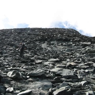
After a much-needed rest to admire the surrounding peaks, we start climbing again in a southerly direction through a canopy of unstable rocks with a steep gradient up to an altitude of 3337 metres. There are no traces of a path, only a few rare cairns, sometimes misleading.
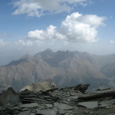
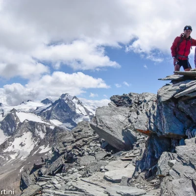
On reaching the summit, a wide esplanade of stones, once covered by the glacier, opens up. Continue straight on (south) following a few large, clearly marked cairns that lead to the festooned ridge that juts out from the Trajo glacier and leads to the summit.
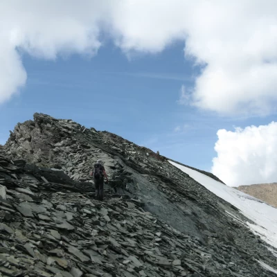
The ridge is followed on the side of the glacier. At first the route is easy and safe, but further on the terrain often becomes unstable until you reach a very delicate point where it is necessary to go round a rock, descending a few metres towards the glacier and then climb it again on friable, wet and unsafe ground.
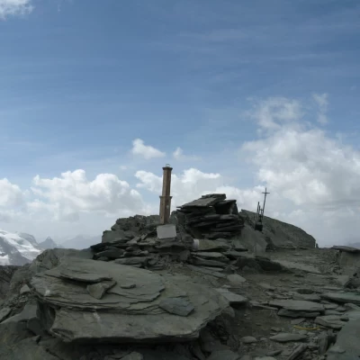
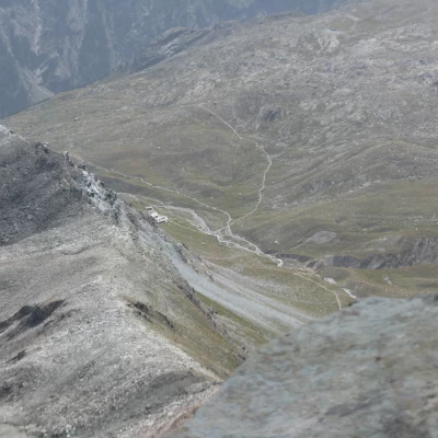
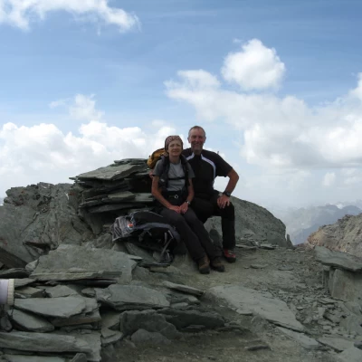
After this last, somewhat treacherous stretch, we continue under the ridge rocks that we finally climb up to reach the summit (3625 m), indicated by a small iron cross and a strange and inopportune "Lantern" under which there is a plaque from the Genoa CAI. One now finds oneself in a small clearing, two-thirds of which is suspended over the void. To the south, the view sweeps towards the Punta di Leviona, the Gran Serz, the Punta dell'Herbetet, the Becca di Montandayné and the Gran Paradiso. To the east, practically under your boots, is the Colle della Rossa and further down the Lauson valley with the Vittorio Sella refuge. To the north, the view sweeps over the entire border chain as far as the Rosa group. And finally, to the west, the Punta Nera, the Punta Bianca and, just beyond, Her Majesty the Grivola, more severe and fascinating than ever.
Note: The real difficulty of this excursion is not the more than 2100 metres of altitude difference, but having to make the decision to descend and leave such magnificence behind.
The return is by the same route as the outward journey. In the Pousset valley, the descent seems endless, but after the Casotto del Guardaparco, although there are still 800 metres to go, you descend quickly thanks to the magnificent forest path, which is very steep but also very stable. An overall very satisfying tour.
Galleria fotografica
We have been there
Punta Rossa della Grivola
Report della gita
Gita di gran soddisfazione in compagnia di Sergio. Siam partiti per salire al Bivacco Gratton e poi, dopo una pausa riflessiva, abbiamo valutato di tentare la salita. Nel complesso gita impegnativa fisicamente a causa dei quasi 2200m di D+ ma estremamente appagante per paesaggi e avvistamenti faunistici.
Informazioni generali
Condizioni via o sentiero: ottime sino al bivacco, poi discreto balisaggio con ometti sino alla vetta
Pericolo Oggettivo: non sottovalutare l'impegno fisico, ma non vi sono rischi particolari
Tratti esposti: alcuni passaggi prima della vetta
Affollamento: soli in cima, ma qualche incontro con escursionisti lungo il cammino al bivacco
Condizioni meteo
Cielo: sereno, con passaggi nuvolosi di condensa
Temperatura: fresca!
Condizioni neve: non ne abbiamo pestato
Avvistamenti
Fauna: Capra ibex, Rupicapra rupicapra, Marmota marmota
Flora:
Galleria fotografica
Punta Rossa della Grivola
il coronamento di una stagione. Da provare.
Avvistamenti faunistici: Capra ibex, Marmota marmota, Rupicapra rupicapra
il coronamento di una stagione. Da provare. Avvistamenti faunistici: Capra ibex, Marmota marmota, Rupicapra rupicapra
