From Milan, take State Road 36 to the Civate exit; continue in the direction of Oggiono to the village of Sala al Barro; from here, reach Galbiate and look for parking near the parish church.
Introduction
The longest and technically difficult route to the popular Lecco peak. Using a combination of paths, you walk two-thirds of the way around the mountain and then reach the summit along a very panoramic ridge. In addition to the scenic interest, the excursion takes you through the numerous and very diverse environments of the Monte Barro Natural Park: a misunderstood "unicum" of endemic fauna and especially flora.
NOTE In the Park's territory, you can visit an ethnographic museum, learn about the scientific activities of a bird ringing centre, and climb a well-known cliff of medium difficulty.
Description
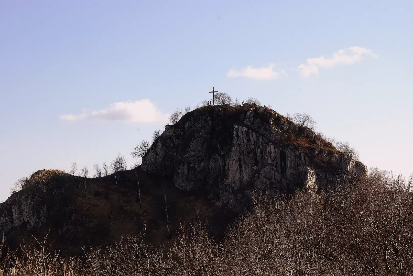
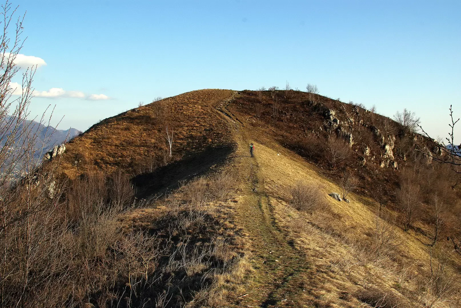
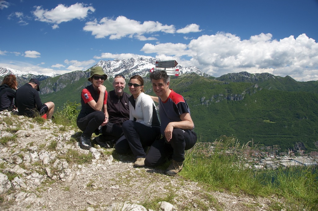
We begin the excursion by taking the tarmac road to San Michele, until we meet the steep Via dell'Oliva on the left. We follow it until it turns into a path: from here we continue at length with gentle ups and downs as we cross the eastern slope of M. Barro. After noticing the unfinished basilica of San Michele below on the right, we reach the first clearings of Pian Sciresa 430 m, where a marker indicates that we should take a steep uphill path through the pine forest. We pass the structures of a small Alpine soldiers' shrine and continue in narrow bends - at times exposed on the steep slope - to the Sasso della Vecchia (an isolated rocky outcrop exposed above the built-up area of Valmadrera); we choose the very steep path to the left and shortly reach the wooded northern crest of Monte Barro: you pass by three anticime and as many bocchette (a climbing passage) until you reach the western ridge just a few metres from the summit of Monte Barro (922m). For the descent, after admiring the completely circular panorama, head along the little path of the southern (SE) ridge: it is a stony path, very steep and with some climbing passages (max grade I). At the end of the rocky path, the route crosses a rounded anticima on pastureland and then descends in twists and turns into the wood, until it reaches - after a disused rockery - the initial path shortly after the end of the asphalt Via dell'Oliva.
Piacevole escursione nel panoramico Parco del Monte Barro. L'escursione da noi affrontata è stata con partenza da Galbiate salita in Via dell'Olivo e successiva progressione sul sentiero 1 sino al Pian Sciresa. Da qui rientro al punto di partenza sulla fantastica dorsale del Monte Barro.
Informazioni generali
Condizioni via o sentiero: ottime Pericolo Oggettivo: alcune balze sulla cresta da percorrere con attenzione Tratti esposti: brevi tratti di cresta Affollamento: abbastanza affollato


Comments (0)
Sign in to leave a comment