Lasciare lo svincolo autostradale di Châtillon, svoltare a sinistra e procedere per 300m (0,3km) fino alla rotonda. Imboccare la terza uscita e proseguire su Via Émile Chanoux. Attraversare il centro storico di Châtillon per 600m (0,9km), quindi svoltare leggermente a destra su Via Menabreaz e proseguire per 450m (1,35km) fino alla rotatoria con il Cervino. Prendere la seconda uscita e imboccare la della Valtournenche per 7,7km (9,05km) fino ad Antey-Saint-André. Svoltare a destra e imboccare la in direzione La Magdeleine. Risalire la regionale per 8,4km (17,45km), superando Brengon, fino al parcheggio di Artaz.
Parcheggio
Ad Artaz si trova un parcheggio 🅿️ gratuito, punto di partenza dell'itinerario.
Accesso con mezzi pubblici
Per raggiungere il punto di partenza dell'itinerario è necessario un mezzo privato, poiché Artaz non è servita da trasporti pubblici.
Le indicazioni fornite sono state verificate alla data del rilievo dell'itinerario. Prima della partenza si consiglia di verificare possibili variazioni del percorso o delle condizioni stradali. Per informazioni aggiornate si raccomanda di consultare Google Maps o Apple Maps.
Introduction
A delightful hike starting from the village of Artaz in the commune of La Magdeleine and ascending through the cool woods below Mont Tantané and then reconnecting in the Promiod valley to reach Col Portola. When you reach Col Portola, you can admire the splendid panorama of the Monte Rosa group.
Description
On reaching the hamlet of Artaz (1815m), you can leave your car in the lay-by ...
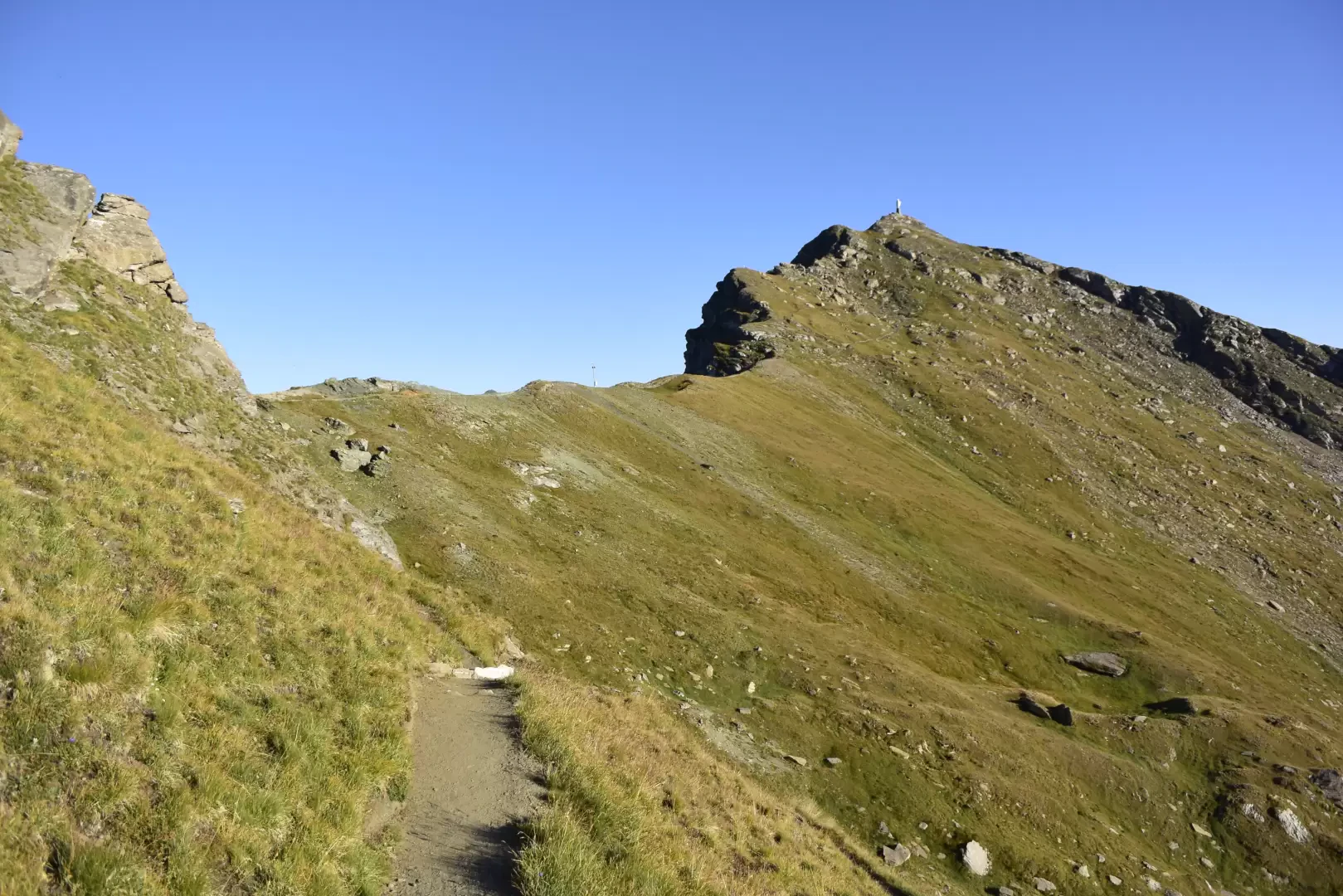
Continue along the path to reach the Revard huts (2031m) and finally meet route (6) (departure from La Magdeleine). Continuing the ascent with itinerary (6) we reach the La Nouva alpine pastures (2193m): the last dwellings we will encounter on our way. Leave the dirt road and cross the meadows on a path that leads to Col Portola (2410m). We now continue along the ridge along the path, with an excellent view of the Valle d'Ayas and the Monte Rosa massif in the background. Finally, the summit of Monte Zerbion is reached after having overcome a somewhat uneven stretch of path.

Comments (0)
Sign in to leave a comment