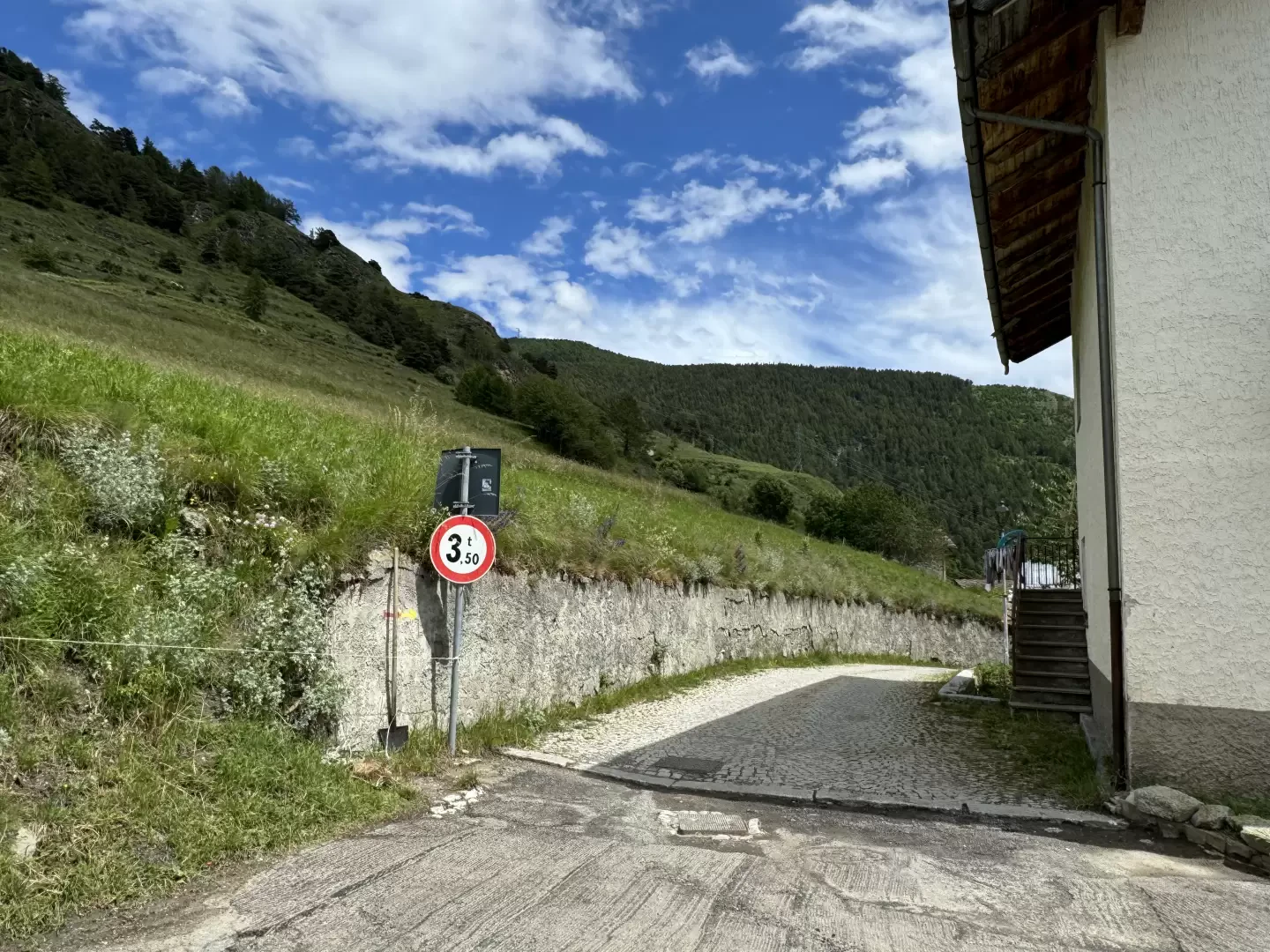
Leave the motorway junction at Châtillon, turn left and proceed for about 300m until you come to a roundabout: take the third exit and continue straight on Via E. Chanoux. Cross the historic centre of Châtillon for about 600m and then turn slightly right onto Via Menabreaz to follow for 450m to the characteristic roundabout with the "Matterhorn" inside. Take the second exit and take the Valtournenche road for about 7.6km to Antey-Saint-André, where you turn right onto the to La Magdeleine. Climb up the regional road for 4.6km until you reach the junction for Promiod. Follow the little communal road on the right for 1.4km until you come to a large free car park 🅿️ on the left where you can leave your car.
[0h23'] - [14.9km] How to get there with GMaps How to get there with Apple Maps
These indications are based on direct verification carried out at the time of the survey of the route so the information should be checked before starting the hike. We recommend using a GPS navigator or map app on your smartphone to get up-to-date and detailed directions.
Introduction
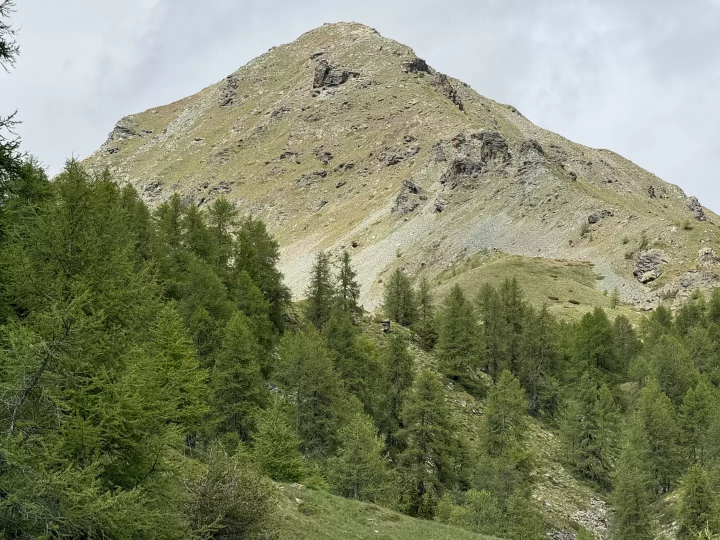
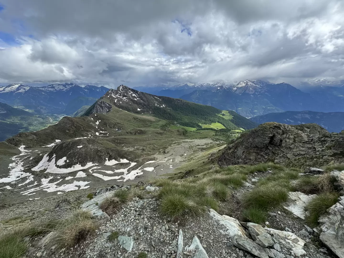
Mont Tantané is a 2734-metre-high peak at the end of the Tournalin-Zerbion coastline. Isolated and pyramid-shaped, it can be reached along three access routes. Described here is the one starting from Promiod along the south-west ridge. From the summit you can appreciate beautiful views of the two valleys surrounding it, Valtournenche and Val d'Ayas, and of the Monte Rosa massif.
Description
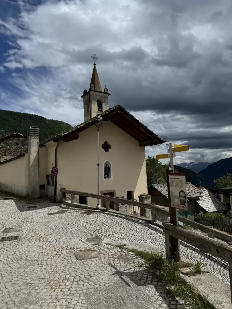
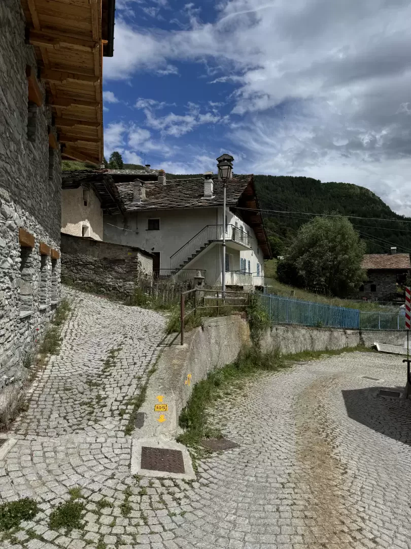
0h00'0.00km From the parking area, proceed in a southerly direction entering the village of Promiod. After a short descent, you first reach the village chapel dedicated to Saint-Antoine, (fountain 💧 on the right) and a little further on, after a short ascent, the fork with the entrance to the path (fountain 💧 at the start of the path). 0h05'0.16km
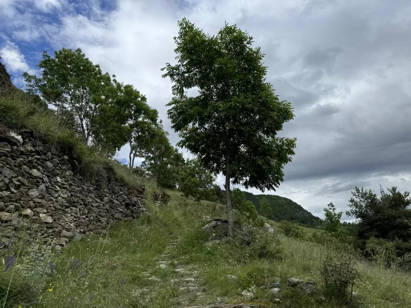
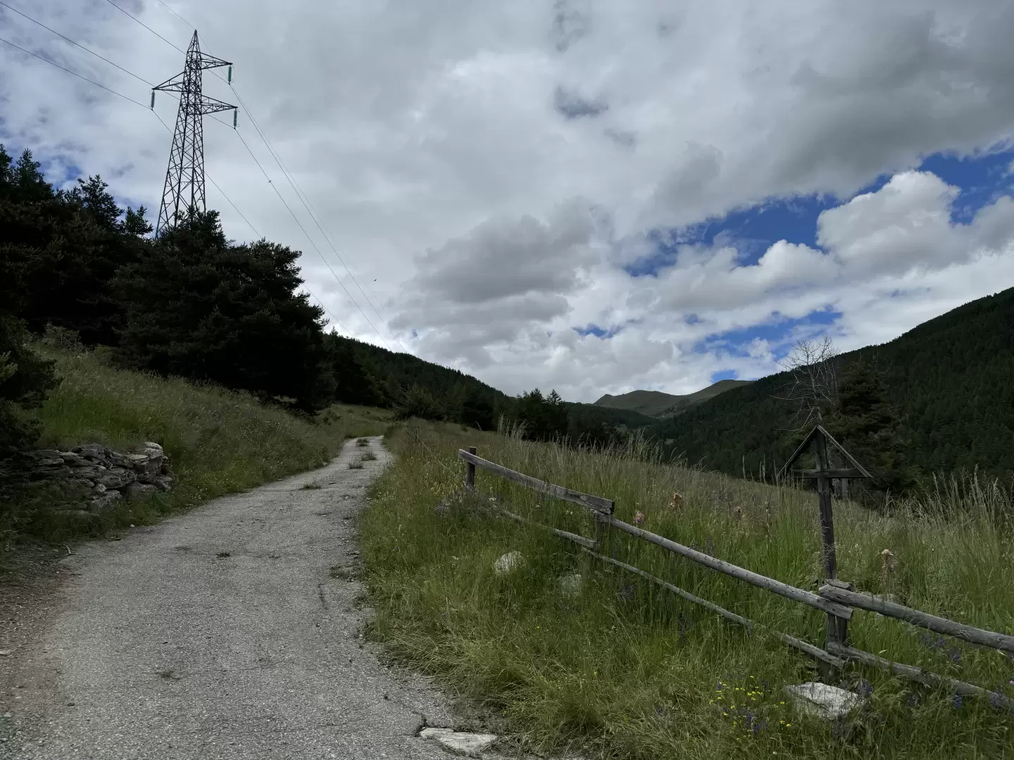
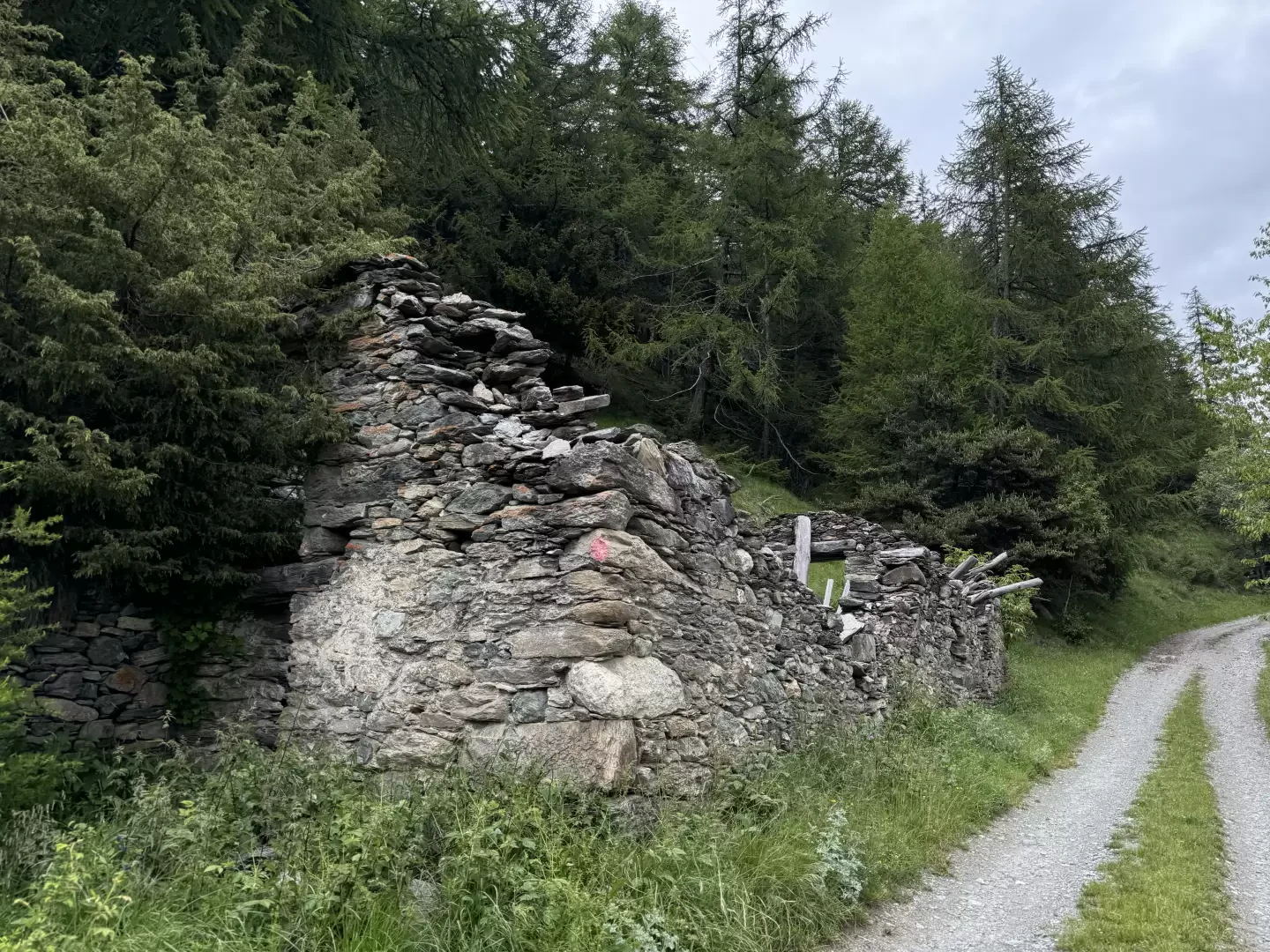
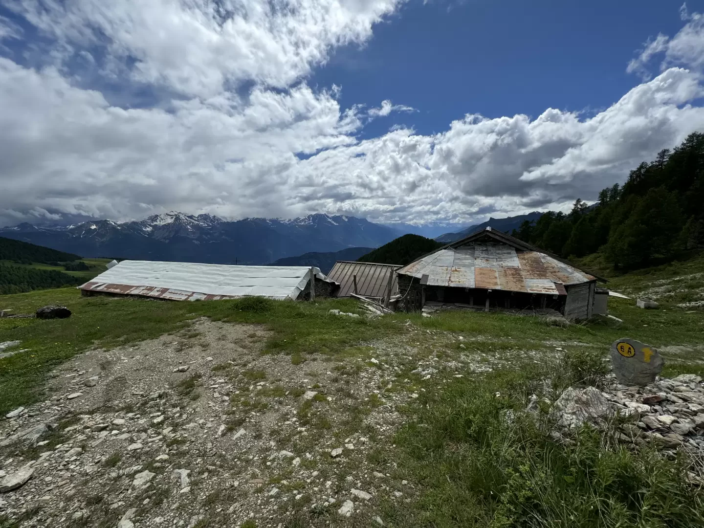
Turn left and take the little road which, after leaving the last houses of Promiod, becomes a path and goes up the green pasture until it crosses the farm road. Cross the road and continue along the lovely mule track until you come to a cross and the farm track again, which you take uphill to the left. The trail climbs moderately and steadily up the orographic right-hand side of the Vallon de Promiod, leaving the pastureland behind to plunge into the beautiful coniferous forest of Praz Carral; pass the ruins of Boettes and reach a fork in the road at a hairpin bend (1,730m).
0h40'1.50km
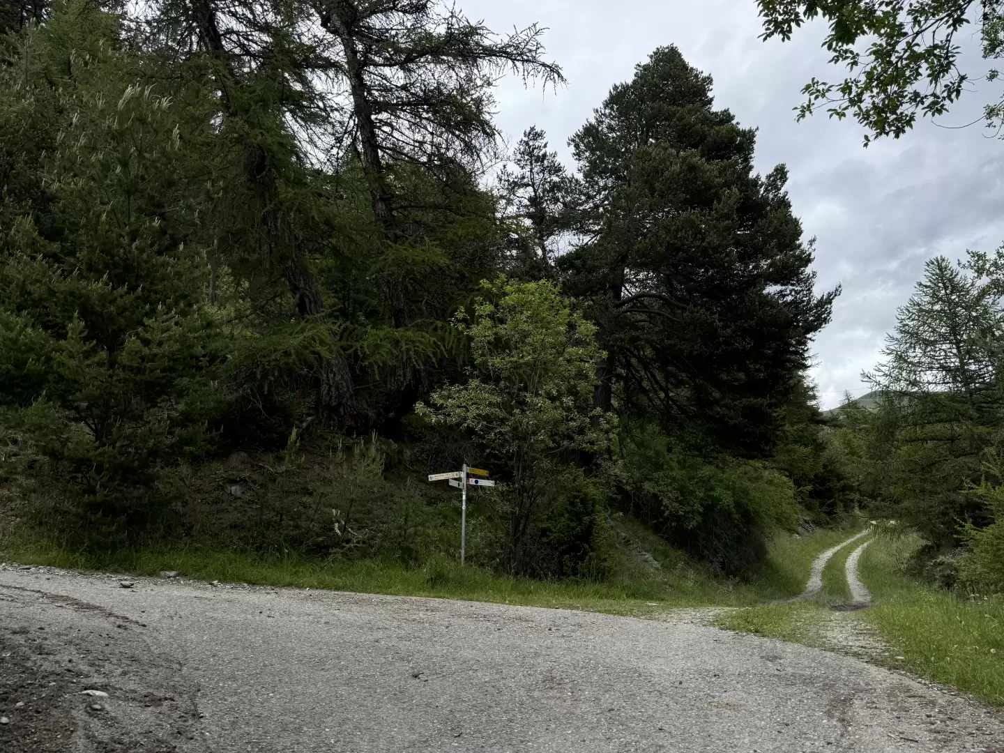
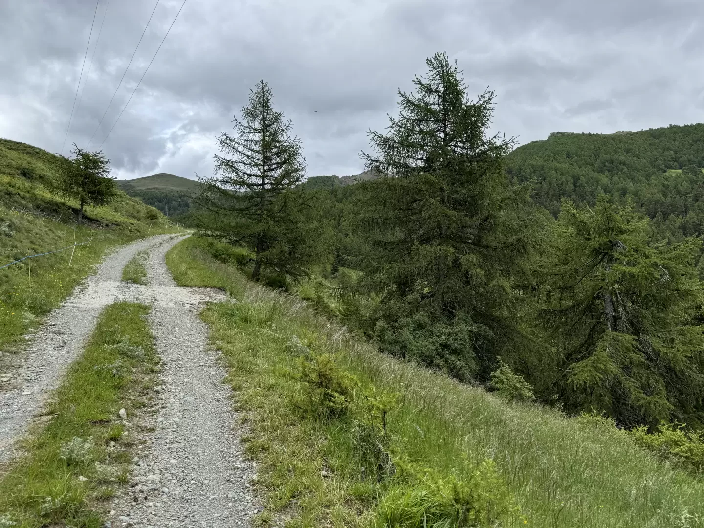
Turn left, ignoring the small road that continues straight ahead, and immediately right before tackling a fairly steep tarmac road before leaving the forest near the ruins of Supplin and Brovié. The slope reduces and interesting views open up of the Tantané-Zerbion coast and its characteristic grassy slopes. Neglect the track that descends to the right to Champ and Francou before making a couple of turns near the ruins of Brenvey (2026m) before re-entering a wooded strip. The trail re-enters the forest, skirting the ruins of Renard (2046m) before tackling a small climb that leads, after a couple of twists and turns, out of the forest, facing the characteristic pyramid of Mont Tantané. A few hundred metres along the road and a new fork is reached.
1h45'4.40km
Turn left and follow a new small road that with a few ups and downs takes you close to the Champ Cellier dessus (2147m), which is reached by a short descent.
2h00'4.95km
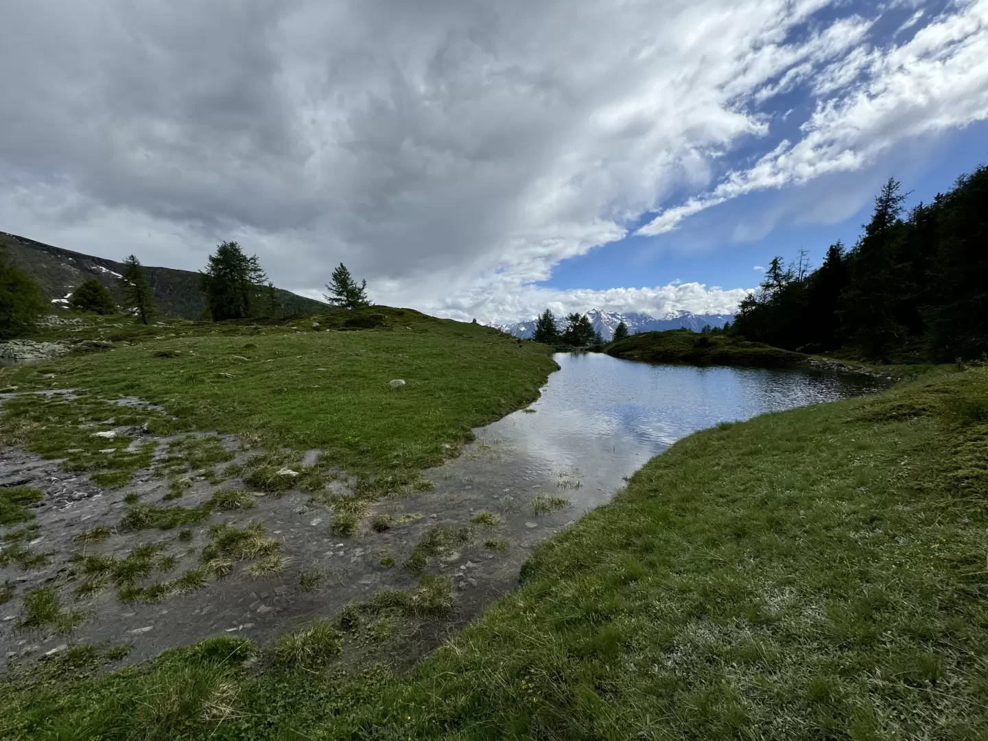
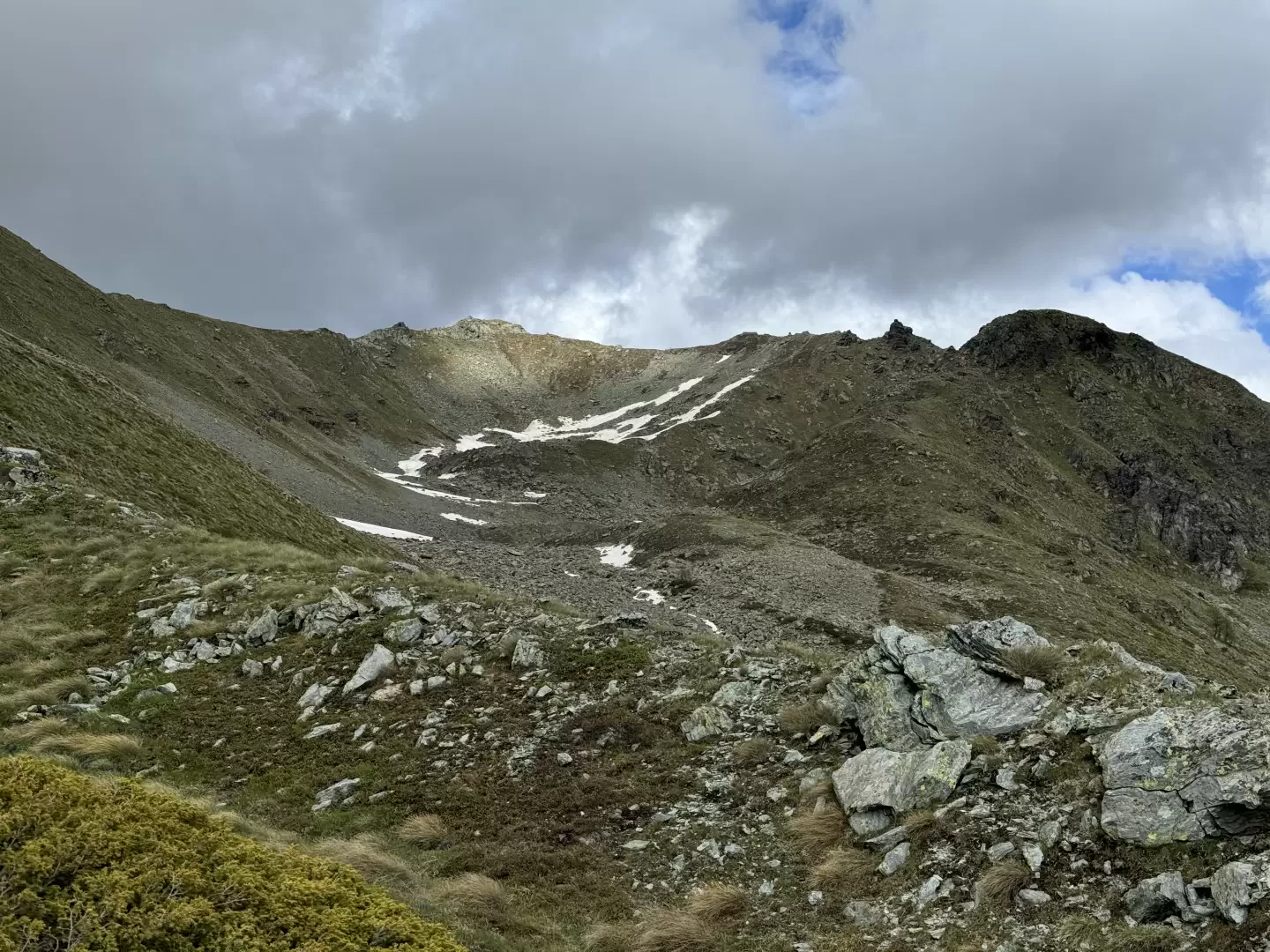
To the left of the alpine pasture, the trail joins the track coming from Artaz. The trail climbs up the pastureland, entering a small valley with a few small lakes before turning left and climbing to reach the ridge of the south-ovet ridge of Mont Tantané. When you reach the ridge, walk along it to meet the junction of the Sentiero Natura di La Magdeleine basso (2,277m).
2h20'5.80km
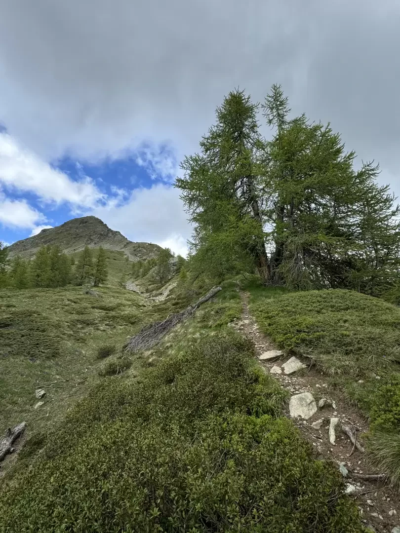
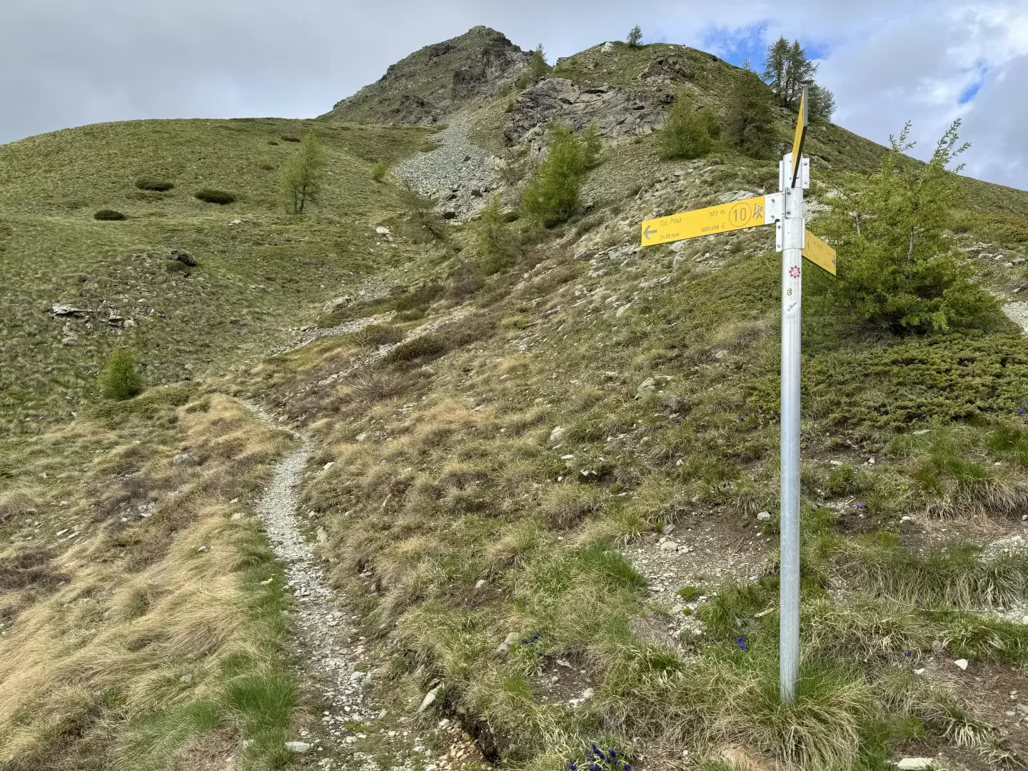
Continue along the ridge, leaving behind the last larch trees before meeting a marker signposted Sentiero Natura di La Magdeleine alto (2,350m).
2h30'6.19km
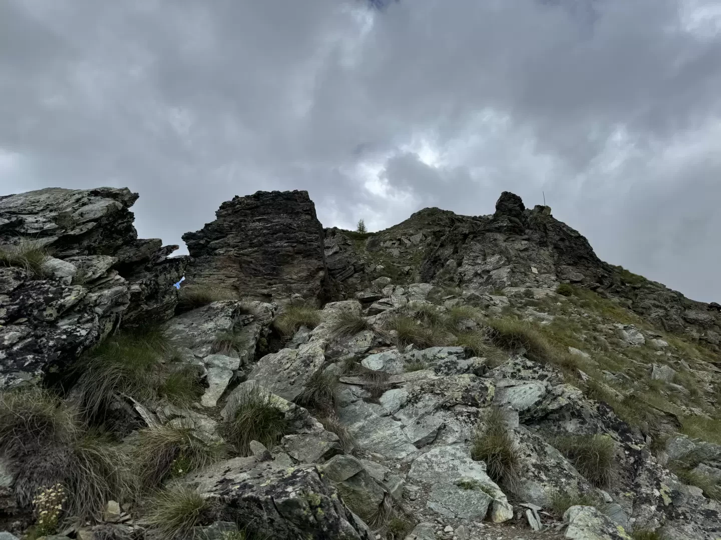
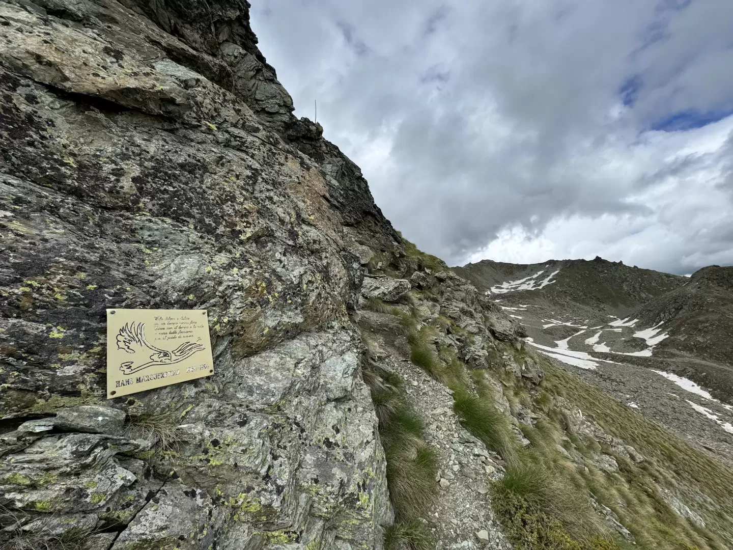
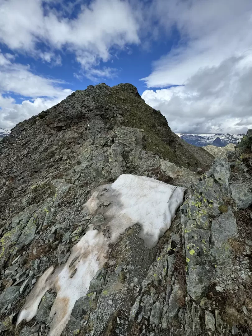
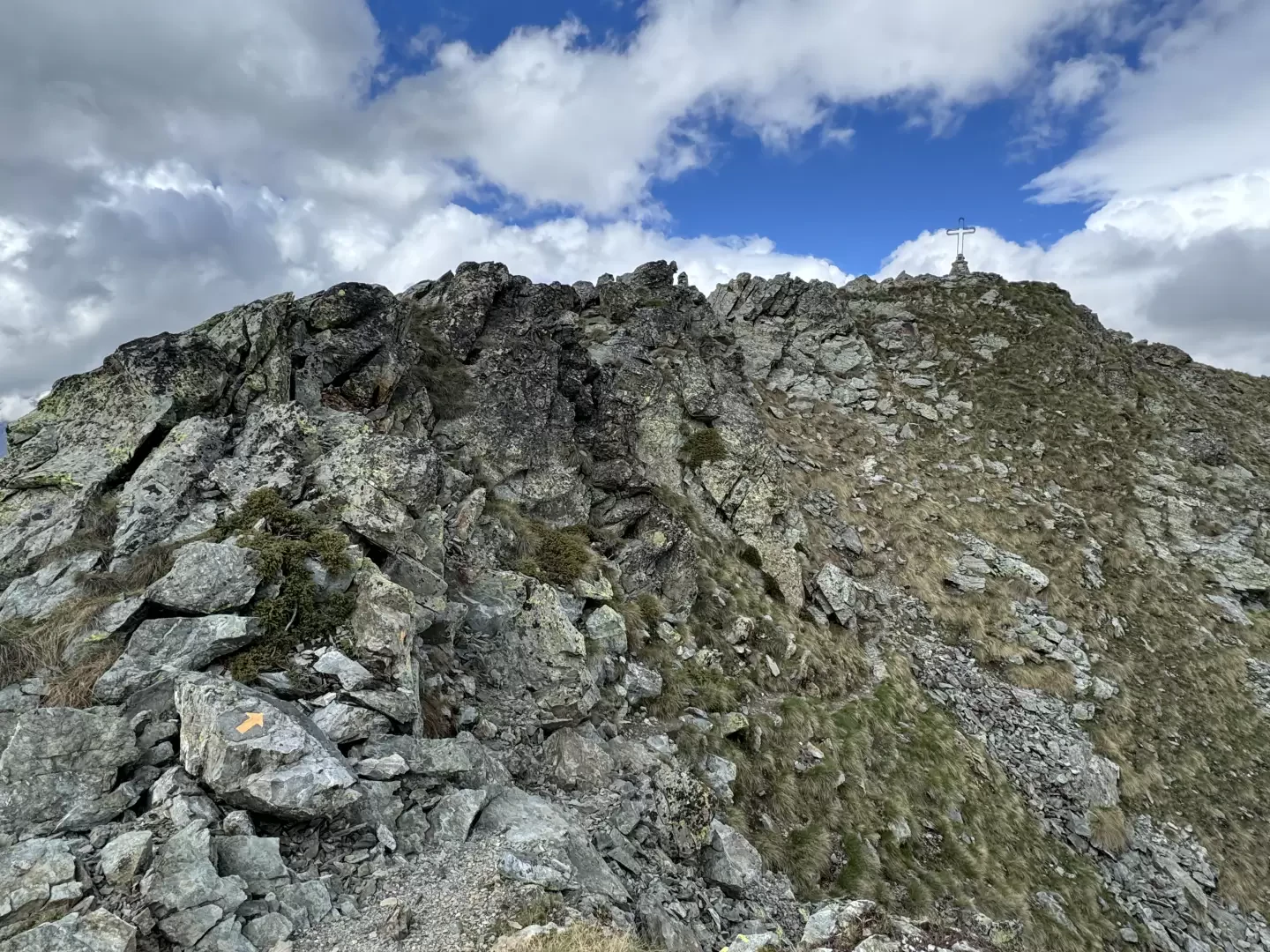
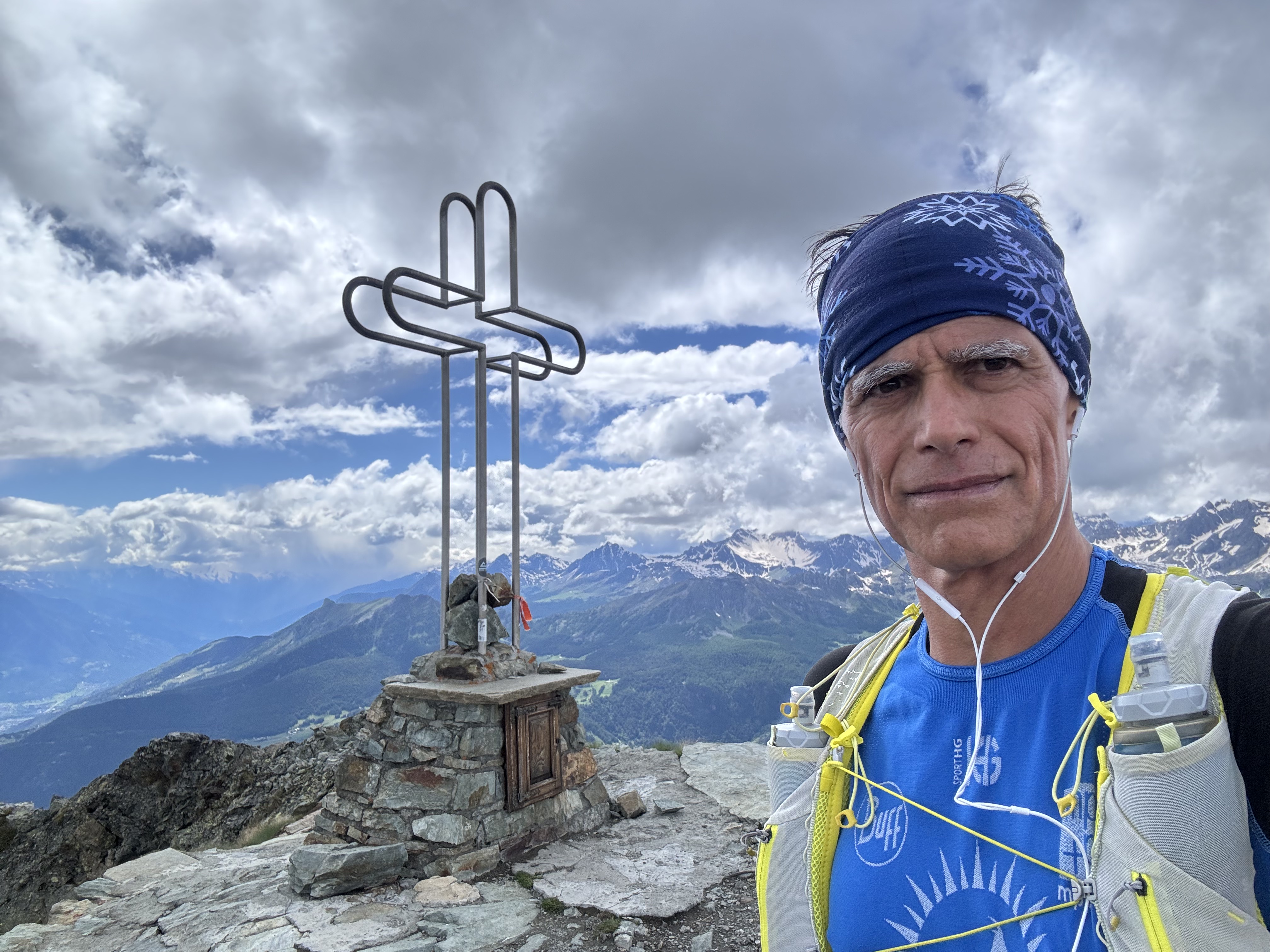
Neglect the path to the left and start climbing the final part of the south-west ridge. The slope is now steep and the path includes some not very easy passages. Once past a first hump, the path leads towards a rocky spur on which there is a plaque in memory of Hans Marguerettaz. Cross the knoll to the right and return to the ridge, which is climbed up with a logical and evident path to a second rocky spur that is easily overcome by keeping slightly to the left. The slope reduces and the final part of the ridge is reached with the summit cross now in sight. Continue along the ridge, making a couple of small descents between the slopes before crossing the last small incline to reach the distinctive summit cross of Mont Tantané (2734m) 3h30'7.00km .
The descent is along the same route as on the outward leg 2h30'7.00km .
Escursione per mettere un po' di dislivello nelle gambe. Partito da Promiod lungo la salita nel vallone temevo di prendere il classico acquazzone ma fortunatamente le nuvole girano altrove e quindi raggiungo la vetta immerso in un atmosfera di luci nordiche.
In definitiva 1311 metri di salita con una discreta pendenza nella parte di cresta a partire dalla palina.


Comments (0)
Sign in to leave a comment