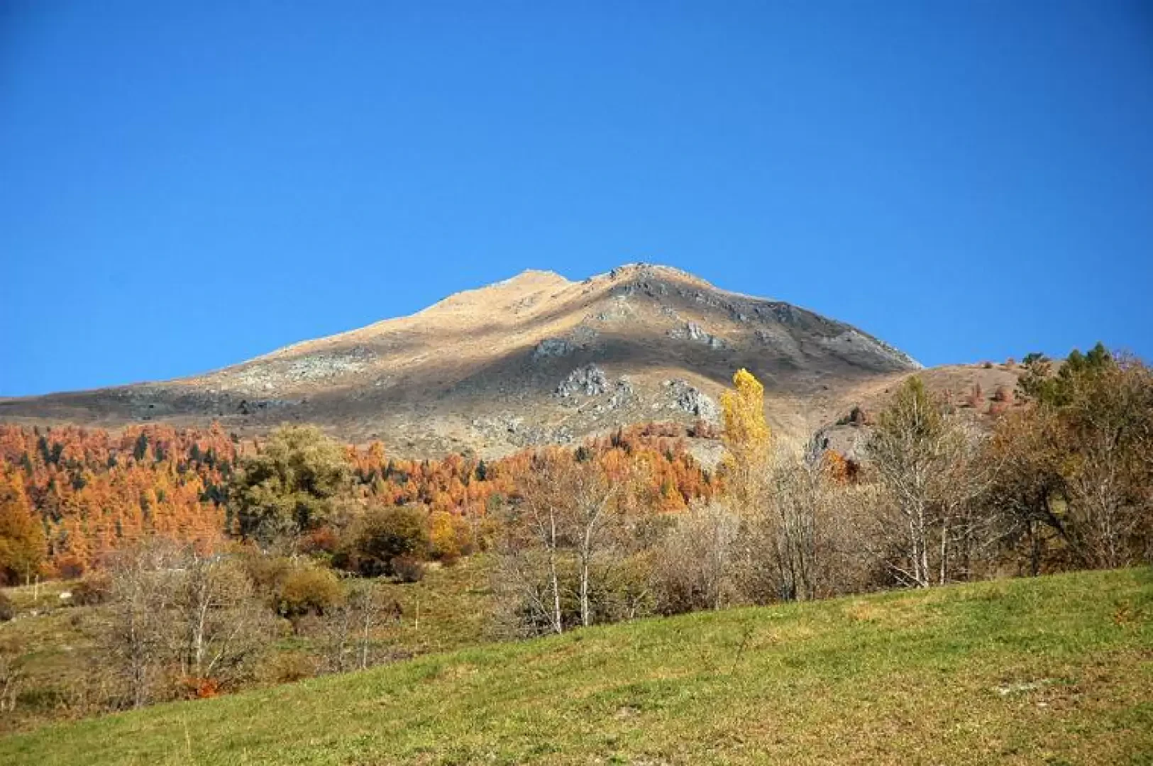
Mont Saron, from the main town of Allein

Edited by:
Massimo Martini
Access
Leaving the motorway at the Aosta Est exit, continue along the - road to the Great St Bernard Pass. You pass the village of Gignod and shortly afterwards meet the road on the right, which leads to Allein. After descending towards the Artanavaz stream, the road climbs to the main town of Allein, where you can park in the car park in front of the parish church.
[0h22'] - [19.2km]
How to get there with GMaps
How to get there with Apple Maps
The directions given here were verified on the date of the route survey. Before setting off, it is advisable to ensure that no substantial changes have occurred on the route to the starting point. We therefore recommend the use of the satellite navigation apps provided by Google or Apple for up-to-date and detailed directions.
Introduction
From the summit, one can admire a beautiful panorama of the mountains that characterise this area of the valley, which is not very well known and certainly very impressive.
Description
0h00' Leaving the car in Allein, in the hamlet of Chef-Lieu (1272m) 💧, the start of our route can be seen just behind the church. The first part of the walk takes place on a dirt road, which is however abandoned almost immediately in order to follow a path on our right. The ascent through pastures and some woodland scrub takes us to the hamlet of Ville (1426m) 💧.
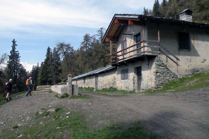
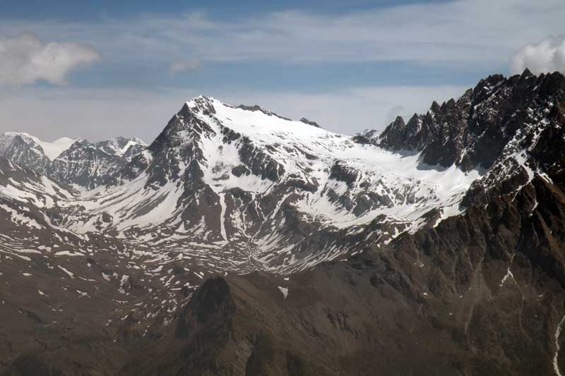
0h40' Having reached the little chapel of the hamlet, we turn left onto a dirt road which, with a few ups and downs, leads us to the hamlet of Bruson (1470m) 💧: following the indications of the paths and you start climbing again, first crossing pastures, then a forest of larch (Larix decidua) and spruce (Abies picea) until you reach the Fontane mountain pasture (1892m) from where you can admire the beauty of the Grivola and the Grand Nomenon.
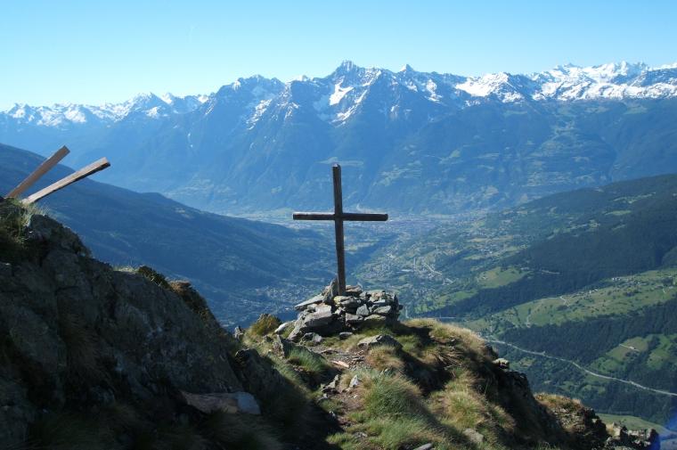
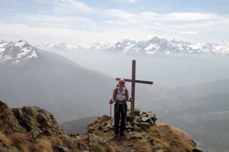
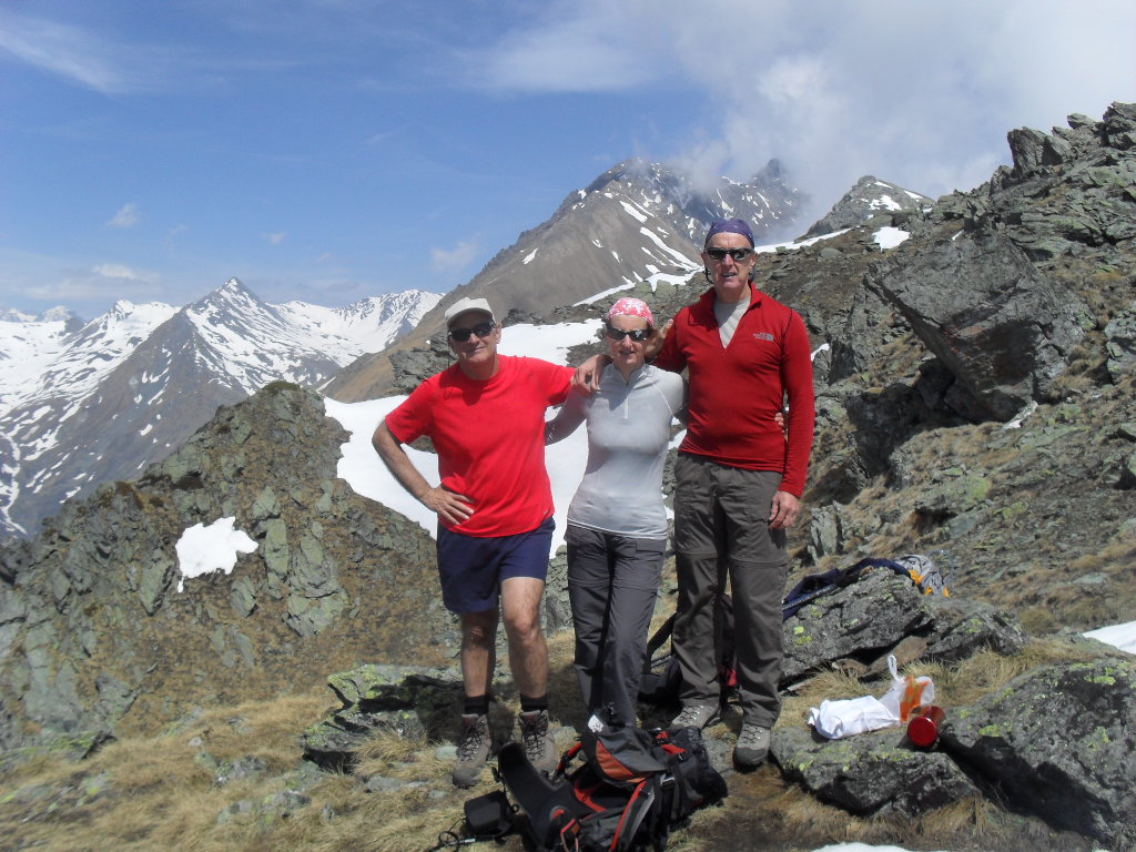
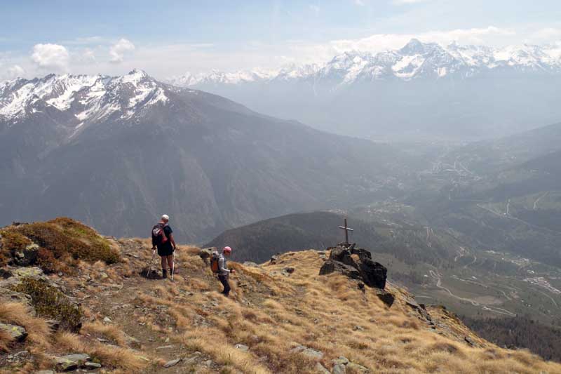
1h50' Continuing the walk, we gradually leave the wooded belt for the alpine meadow. Here you climb up the rather steep ridge of Mont Saron. On reaching the ridge, follow the direction of the peak (marked by a wooden cross), the path is now barely visible. On reaching the summit, the scenery is certainly worth the effort: the location of Mont Saron allows a splendid panoramic view of the Gran San Bernardo valley and the ridge of mountains surrounding the hospice; of Mont Vélan and the peaks that surround it; and of the By basin.
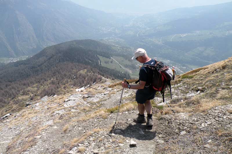
The descent takes place along the same route as the ascent
Each 29 June, on the feast of Saints Peter and Paul, there is a procession that starts from the Chef-Lieu church and crosses all the alpine pastures described above to reach the summit of Mont Saron. Tradition has it that this procession was carried out to avert a danger of a landslide on the mountain itself.
During the feast day, a large lunch is held at the foot of the summit for all those taking part in the procession and, for those who were unable to climb, the participants descend to the church with flowers picked from the pastures (rhododendrons and violets).
We have been there

Edited by:
Giancarlo Beretta
Mont Saron
Compiuto l'anello con salita da ovest e discesa per il crestone est; poco visibile, se non assente, la segnaletica del sentiero 25 di cui comunque manca la numerazione soprattutto se si compie il giro al contrario dove non c'è alcun segno del sentiero che si stacca dalla poderale per risalire la cresta. Neve completamente assente lungo tutto il percorso.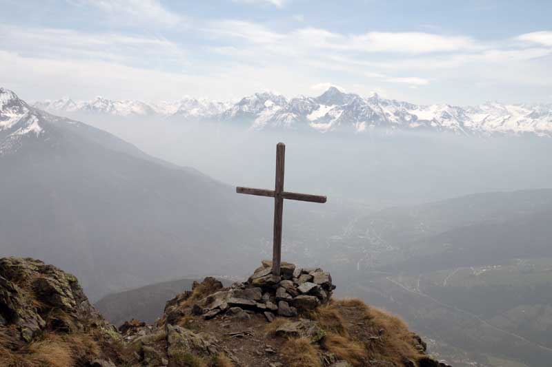

Edited by:
Silvia Quaglino
Mont Saron
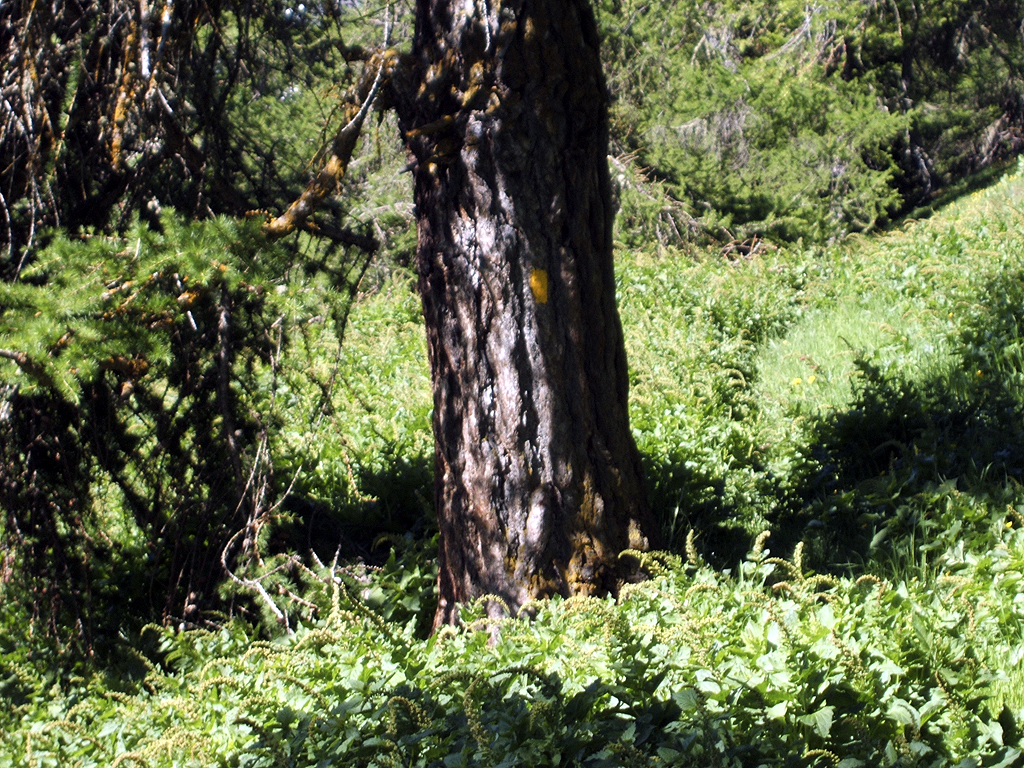
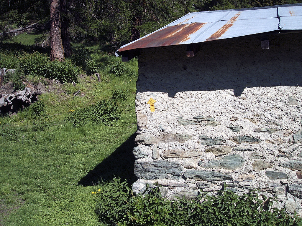
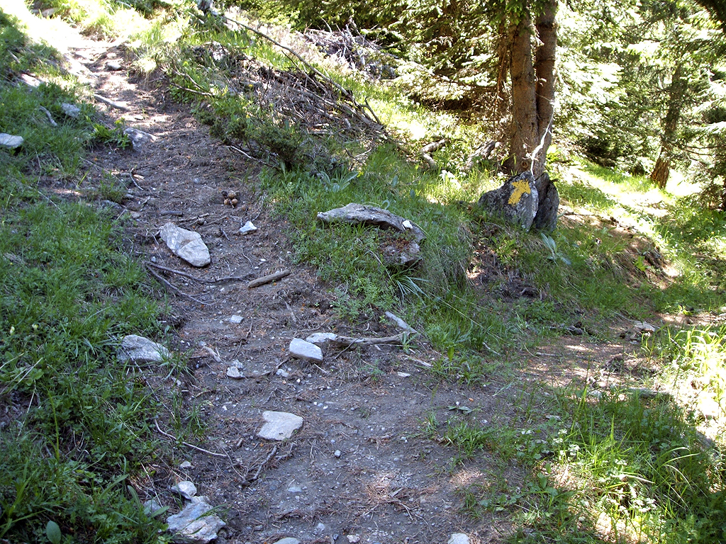
premetto che sono partita dalla frazione ville e che fino alla frazione bruson (all'andata)ho seguito la strada asfaltata ( che consiglio caldamente anche in discesa per non essere flagellati dalle ortiche). dalla strada interpoderale dove parte il sentiero 24, sino alle 2 croci sotto il pendio finale il sentiero non è sempre evidente ( ad inzio stagione nel bosco l'erba nuova copre spesso le tracce) occorre prestare attenzione alla segnaletica orizzontale, sempre presente anche se un po' sbiadita. verso quota 1900 un lungo traverso pianeggiate a sx porta verso l'alpeggio fontane. a circa 2/3 si incontra una diramazione con freccia gialle a sx e nulla a dx. ( il sentiero di dx. anche se più evidente è dovuto al pascolare delle mucche, porta comunque sino al torrente, una cinquantina di mt. sopra l'alpeggio fontane). qui occorre seguire le tracce in ascesa delle mucche, seguendo il torrente sulla sx.orografica, e si giunge all'ultimo alpeggio. una freccia gialla sul muro indica la direzione da seguire, ma il sentiero si perde nella "verdura" per una ventina di mt. a sx. salendo. si vedrà una freccia gialla su un albero che marca nuovamente il sentiero. dalle croci sino in vetta :sentiero sempre ben evidente e decisamente marcato sia da segnaletica orizzontale che verticale ( frecce gialle su sassi posti verticalmente). E' presente ancora un piccolo fazzolettto di neve di una ventina di mq. appena sotto la vetta, ma evitabile.scendendo ho incontrato tre gentili alpini che con motosega avevano liberato il sentiero da tronchi e rami caduti durante l'inverno. resta un solo tronco abbattuto , nella parte iniziale del sentiero , che occorre aggirare.