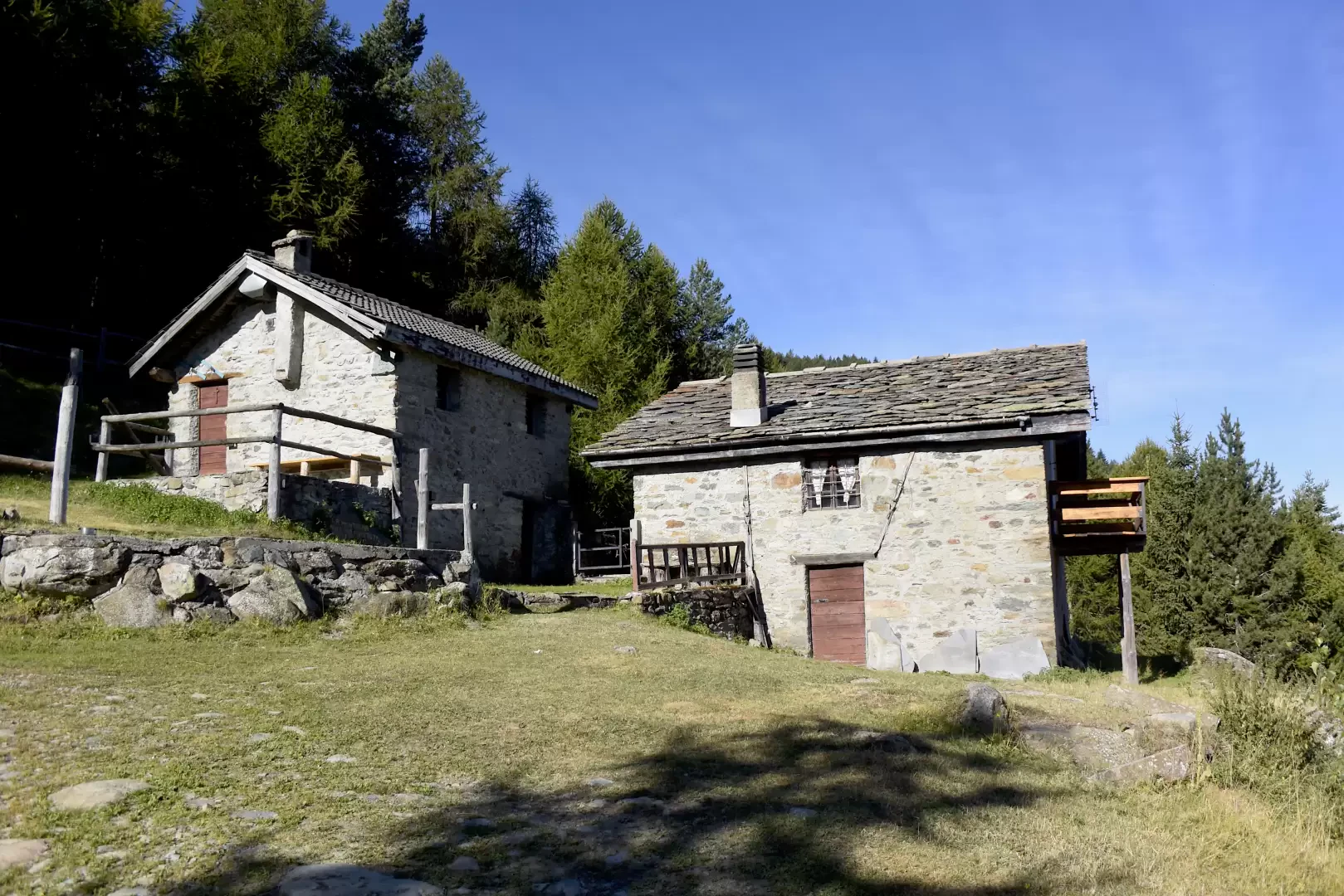
Mont Ros dèsot, from Bellecombe

Access
At the motorway exit of Châtillon, turn left and proceed towards the village centre until you reach a first crossroads where you turn left again. Follow first Via Barrat then the Avenue de la Station as far as the subway over the railway line, then turn left again onto the communal road to Bellecombe. Go up the little communal road, passing the characteristic village of Ussel, known for its medieval castle, and continue on the impervious little road through the chestnut trees to the village of Bellecombe. At your destination, you will find a large car park in front of the chapel of Saint Anne.
Description
0h00' From the car park, take the dirt track that starts near the little church of Bellecombe, dedicated to Saint Anne. Continue along the dirt track, turning left at a crossroads (1050m).
0h05' Going up through the pleasant chestnut and birch wood, you will reach the junction of path , which should be neglected; continue straight on until you come to a metal barrier preventing vehicular traffic (1110m).
0h25' Continue along the dirt track that climbs the wooded slope with a series of twists and turns, a few pleasant views of the Valtournenche peaks accompany the walk, which is in itself a little boring in this section. Having passed a section with a steeper incline, the road levels out before reaching Mont Ros dèsot (1415m) 0h50'.
The descent follows the same route as the ascent 0h35'.
.