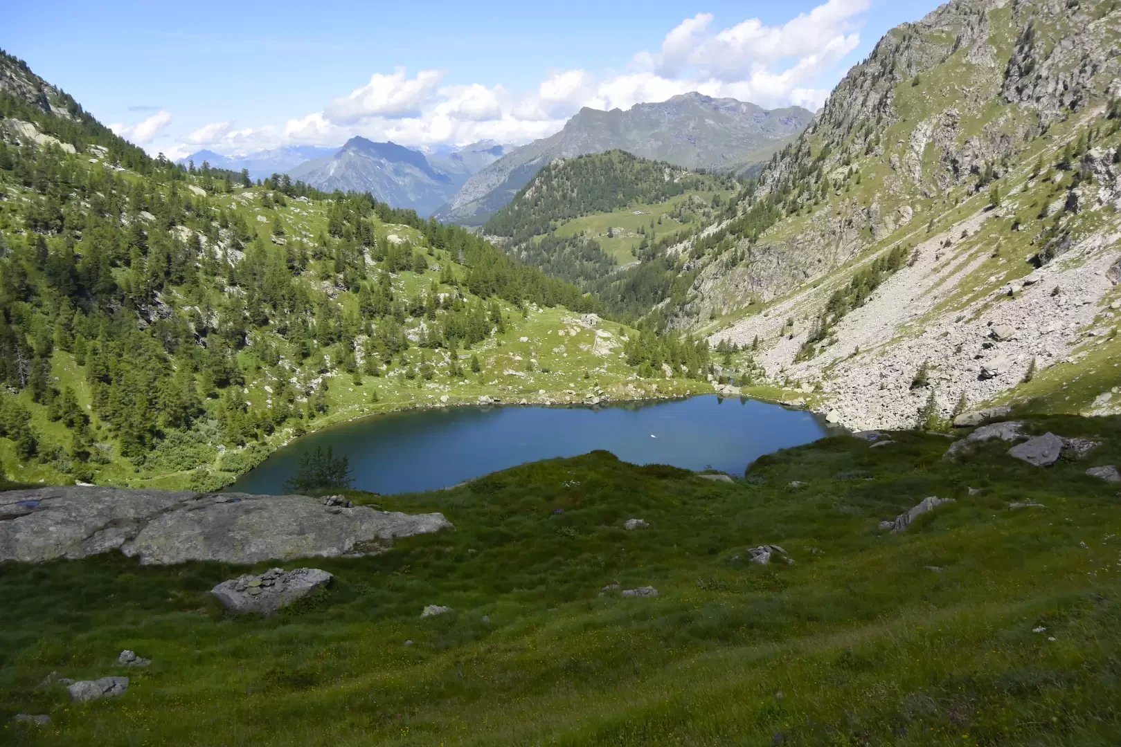
Lower Frudière Lake, from Graines

Access
Leave the A5 motorway at the Verrès exit and, immediately after the toll booth, you will come to a roundabout: continue in the direction of Val d'Ayas. The regional road takes you towards the historic centre of Verrès, then turn left and begin the climb up the valley. We pass Challand-Saint-Anselme (5 km), Challand-Saint-Victor (7 km) and after 13.4 km turn right onto the small road that leads to Graines Castle and the village of the same name: after passing the last houses we reach the end of the road and the beginning of our itinerary.
Introduction
Beautiful walk in the middle Val d'Ayas between the peaks of Mont Nery and Punta Regina. A 2h30' walk takes you to one of the most beautiful lakes in the Aosta Valley, dominated by the imposing mass of Mont Nery.
Description
Leaving the car at the beginning of the no-trespassing farm road, we set off along the road that runs alongside the pastures. After turning one last time to admire the austere outline of Graines Castle, head eastwards along the dirt road towards Mont Ciosé, which stands out on the horizon. After a few minutes, the road turns slightly to the right, encountering an aqueduct with a fountain, and continues along the Graines stream until reaching a small wooden bridge (1,497 m, 0h25'): cross it, turning right, and take an easy path that plunges into the fir forest.
You slowly gain height in the coolness of the forest and after 0h15' you reach the pastures below the village of Charbonnière (1595m, 0h40'): here, you again reach the farm road abandoned at the little bridge and follow it, turning right.
We continue our march on the little road that wedges into the valley below the lakes, passing the Restoly alpine pastures (1649 m, 1h00')and shortly afterwards the junction for Cleve de Moula (2240 m, 1h05').
In this section, the road gains a little altitude and then becomes flatter again, crossing pastures where the Alpine anemone (Pulsatilla alpina) can be found in spring, until the end of the road is reached: cross a concrete bridge and go up the path
towards the Champ-Charlec pasture (1757 m, 1h30').
The trail continues across the pastures until it reaches the Frudière alpine pastures (1841 m, 1h45') where the turnoff for Col Ranzola starts, marker
to be ignored. From the alpine pastures, the trail enters the woods again on a path that is a little uneven in places due to some landslides and, after a short descent towards the stream, climbs up the valley to reach the beautiful basin below the lake; by now the goal is near, you will come across a small lake and, in a few minutes, you will reach the wide Lower Frudière Lake (2034 m, 2h30').
The return trip is along the same route as the outward journey.