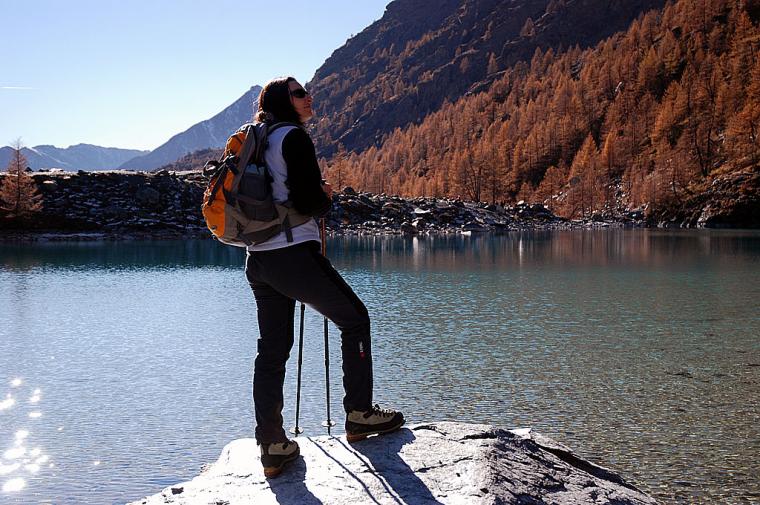
Easy route across the enchanting Verra plateau and up a section of the moraine of the same name to the Blue Lake. Continuing along the path to the right of the lake, you arrive at the belvedere offering a breathtaking view of the ancient bed of the Verra glacier.
Description
We walk back about thirty paces along the tarmac road and take the lane that starts beside a canopy between the two bridges and heads northwards through a group of houses. After passing a lovely renovated rascard, we come to the bridge over the Verra stream where we find the sign for the regional footpath network. Following the signposts for the path (7), we set off along the paved mule track that rises steeply beside the stream and crosses it shortly afterwards over a wooden bridge. After an initial section bordered by a few low stone walls, another section follows where the original route is lost among numerous tracks that climb haphazardly until it joins the old mule track again, which rises lazily in wide bends in the shade of larches until we reach the fork below the village of Fiery. The trail continues along the right-hand path, crossing a clearing where the slender shape of the Don Bosco alpine house stands out on the right, a five-storey-high stone building that is a reminder of the tourism of yesteryear. Back in the forest, follow the path that climbs with a few steep bends and occasionally splits to rejoin a little further on; where the pavement is missing and the slope becomes steeper, the tenacious roots of the larch trees hold the path while the branches offer shelter from the hot summer sun. Soon the slope decreases and the path heads to the right, almost level, in the direction of the stream that can be heard rushing at the bottom of the gorge. One crosses a circular stretch of land where the charcoal burners piled up wood and burned it slowly to make charcoal, and soon after one crosses a stream used for irrigation and joins the dirt road that leads slightly downhill to Pian di Verra. The trail follows the entire beautiful grassy plateau surrounded by the last coniferous forests, beyond which the moraine and the splendid glaciers descending from the Breithorn, Castor and Pollux stand out imposingly, until arriving, just before the bridge that crosses the stream, at the beginning of the short path leading to the lake. Following the signposts on the regional footpath board, take the path (7A) on the left that climbs the barren valley and in just under half an hour, you arrive at the splendid turquoise waters of the basin. After crossing the emissary torrent on a few logs, you can choose whether to stop in the shade of the last larch trees on the lakeshore or continue for another half-hour walk to the top of the moraine, from where you can take a closer look at the grandiose valley left behind by the Verra glacier after its retreat.


Comments (0)
Sign in to leave a comment