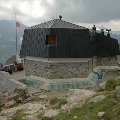
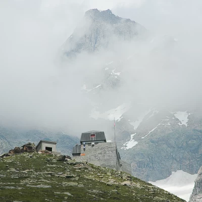
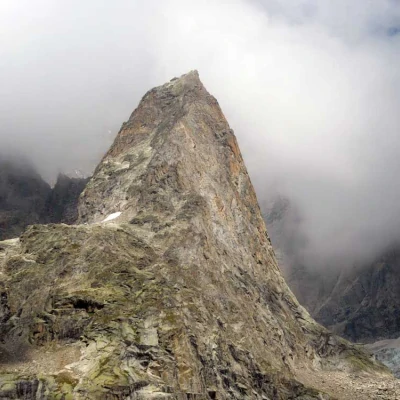
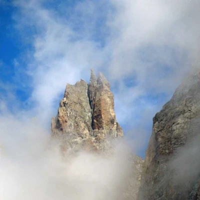
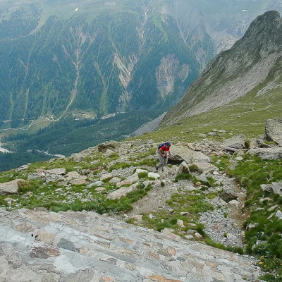
Monzino Refuge, from Chalets du Miage
Introduction
Description
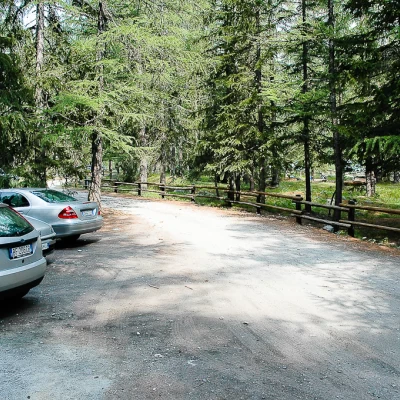
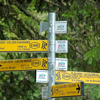
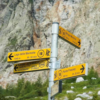
Leaving the car behind, we set off along the farm road that leads to Frêney, ignoring a small road on the right that leads to the bed of the Dora della Val Veny. The first part of the route is flat and immersed in the pine forest, after about ten minutes you cross a first bridge over a branch of the Dora della Val Veny and shortly afterwards cross a second bridge over the other branch of the Dora; a few dozen metres later you come to a signpost indicating the start of the ascent path (1611m, 0h15').
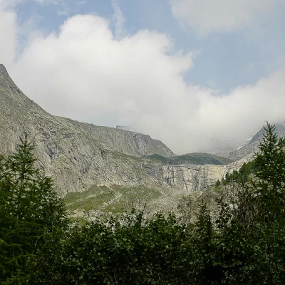
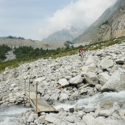
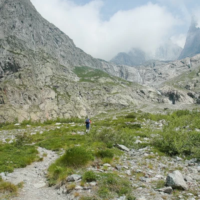
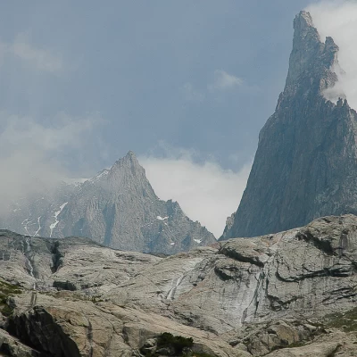
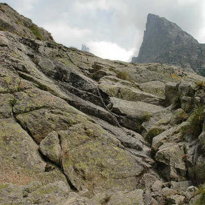
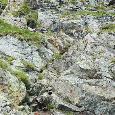
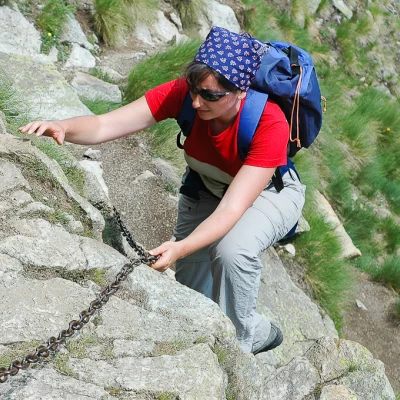
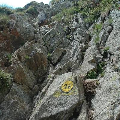
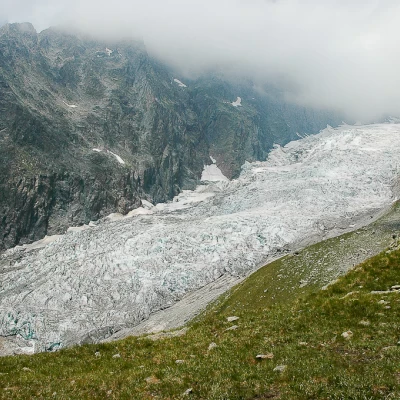
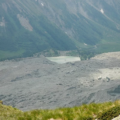
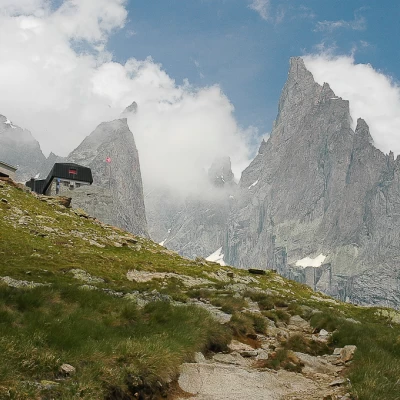
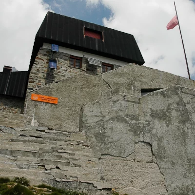
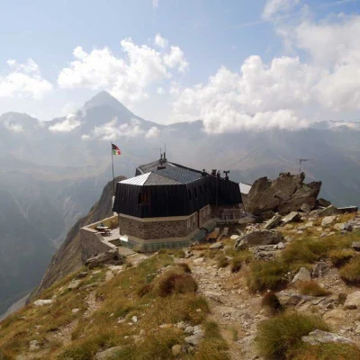
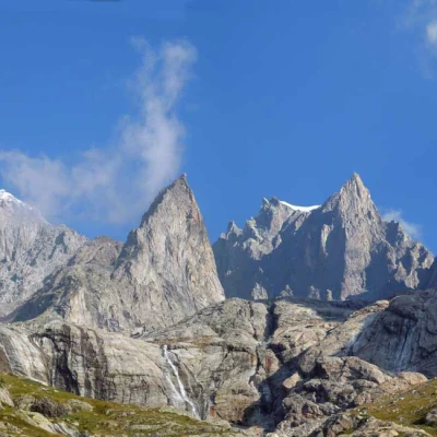
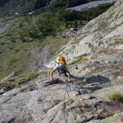
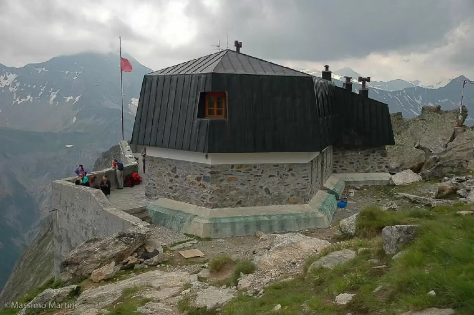
The path enters a dense forest of larch and spruce and ascends an initial section, accompanied by wooden steps, and then enters along the orographic left side of the valley. After a few moments, the path leaves the forest and enters amidst patches of alders until it reaches a huge scree furrowed by the outflow torrents that descend from the Frêney: on two occasions, the outflow torrents are crossed on a few wooden footbridges. At the sight of the Aiguille de Châtelet, continue cutting across the scree until you come to the fork for the hut (1742m, 0h40'): turn right, ignoring the path to the Marmotte Lake, and start to climb up the moraine cone amidst sparse vegetation. Along this part of the ascent, one cannot fail to admire the enormous Miage moraine, on the right, and the soaring silhouette of the Aiguille Noire de Peuterey just in front. You reach a first rocky drop: here you come across a plaque dedicated to Pierre Mauris who fell on the Innominata and a panel indicating the refuge. You begin to climb a short stretch where there are chains, which are useful especially in case of wet ground. Once past this section, the path winds its way through sparse vegetation: in front of us, we can clearly see the mounded rocks formed by the erosion of the Frêney glacier in its retreating phase. We soon reach the starting point of the second section of chains (2155m, 1h45'): the most demanding! The start is immediately the ascent of a steep gully that allows you to gain altitude; the climb is demanding but not difficult, in some sections you help yourself with your hands. After this section with chains, you take a little path that, with a series of twists and turns, leads below the last section with chains. After this section, the path turns to the right in the direction of the hut. After admiring the imposing Breuillat glacier, climb up the last small incline and finally reach the Monzino hut (2580m, 2h30').
The return is along the same route as the outward journey.
Tips
The itinerary can become treacherous in rainy weather: the wet rock soon becomes slippery, making the route very difficult. Consult the weather conditions before setting off on the hike.
General Information
Trail:
Signposts:
Type of route:
Recommended period: June, July, August, September
Sun exposure:Southeast
Galleria fotografica
We have been there
Rifugio Monzino
Ritorno al Rifugio Monzino dopo quasi 20 anni. Con Ermanno.
