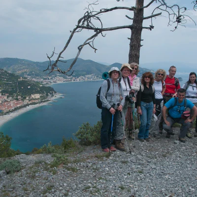
Cape Noli crossing
Access
Da Varigotti (5m) si segue il lungomare in direzione di Savona e, all'inizio della salita di Punta Crena che porta alla galleria con cui si supera la punta, si prende a sinistra una stretta via (corrispondente al vecchio tracciato dell'Aurelia) dove si parcheggia dopo poche centinaia di metri.
Introduction
Ancient communication route between Varigotti and Noli.
.Description
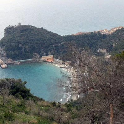
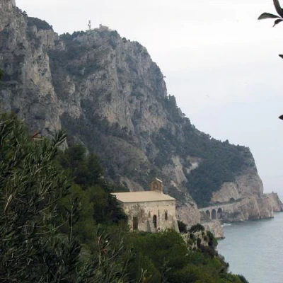
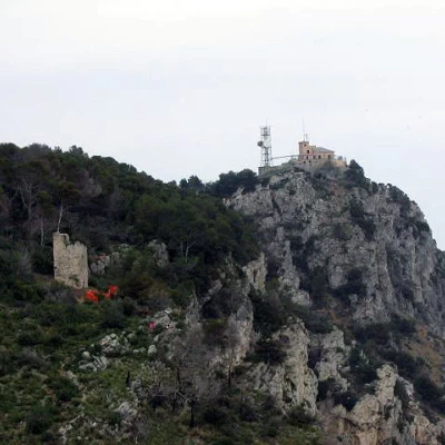
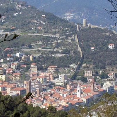
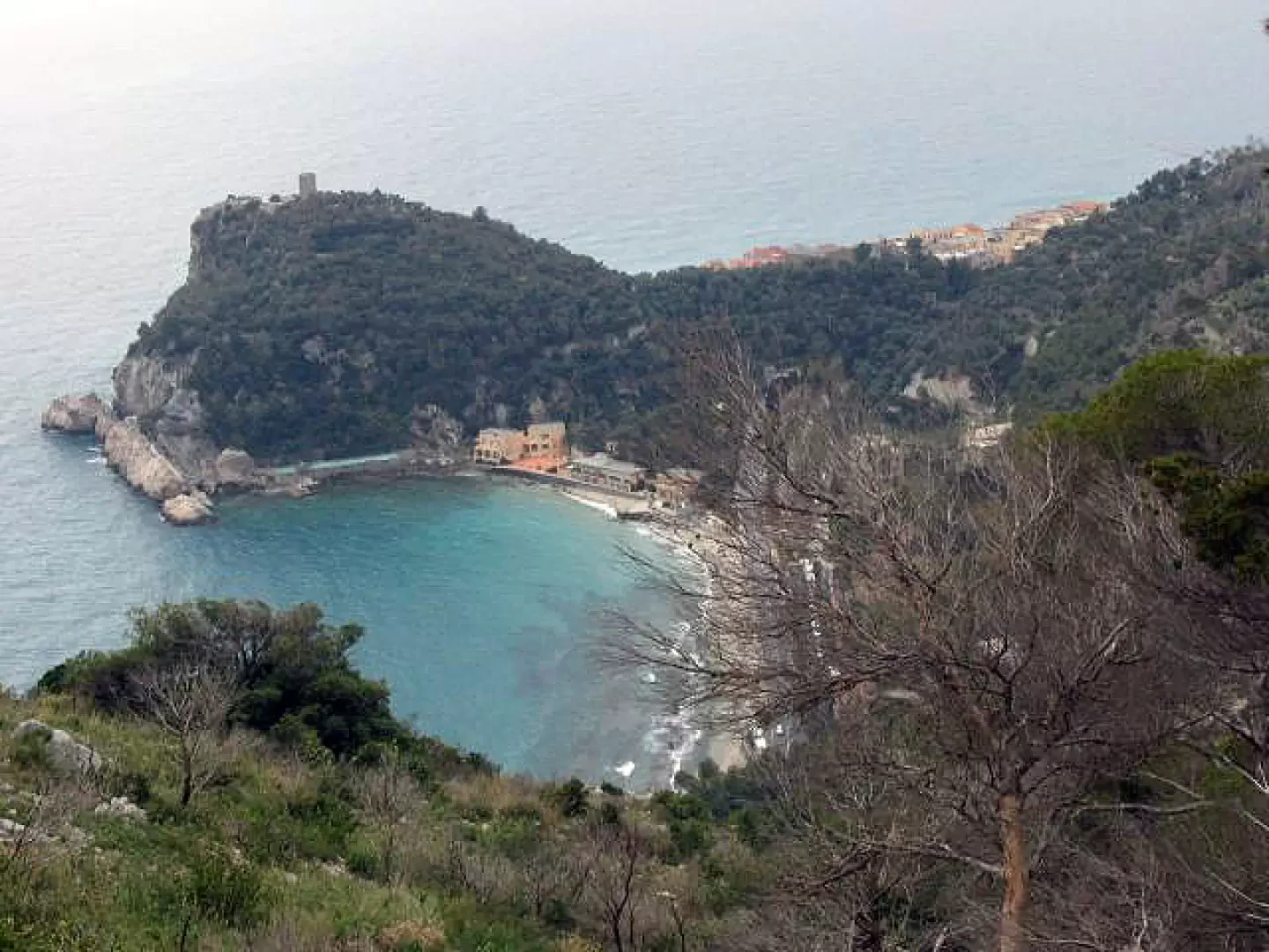
On the left-hand side of the road is the signposted mule track (FIE: red X), in many places wide, paved and still stepped, which ascends to the church of San Lorenzo. After a few hundred metres, you come to a fork in the road (90m). Go right to reach the church of San Lorenzo Vecchio, of late medieval origin. Returning to the crossroads at an altitude of 90m, we now resume the main route (FIE: red X), ascending the southern slope of the promontory and crossing extensive areas of Mediterranean scrub. A blue-marked path heading off to the left is overlooked. At the next crossroads (200m), go right (FIE: red X) and you will soon reach the Torre delle Streghe (Witches' Tower), a Nola building guarding the Malpasso. Continue uphill and, shortly afterwards, you come out on the dirt road connecting Le Manie and Capo Noli. Go right and after 100 metres the track ends in front of the gate of the military area of the Semaforo di Capo Noli (266m). You then turn left (FIE: red circle cut horizontally) onto a dirt track that must be left immediately to take, to the right, the narrow path that descends towards Noli. The path soon crosses the track again and continues downhill until it reaches the historic fishing village (10m). From here, return to Varigotti by the outward route, or by following the Aurelia (3.5 km) or by public transport. Back in Varigotti, before returning to the car, you can still climb up to the Castle, a Byzantine-Longobard fortification, and to the Punta Crena Tower, following the signposted path to the right, close to the one followed at the start. From the Tower you have a beautiful view of the Church of San Lorenzo, the Witches' Tower and the Semaforo.
