All'uscita dello svincolo autostradale di Pont-Saint-Martin, svoltare a sinistra e imboccare la in direzione Aosta. Percorrere 500m sulla fino alla rotatoria (0,65km), prendere la prima uscita verso il centro di Pont-Saint-Martin e proseguire su Via Nazionale e Via E. Chanoux per 650m (1,3km). Svoltare a sinistra sulla in direzione Perloz e seguire la strada per 4,8km attraverso Plan de Brun fino al capoluogo di Perloz (6,1km). Dal capoluogo, proseguire in direzione Pesse per 4,3km (10,4km), tenendo la sinistra al bivio per Marine e risalendo la strada comunale fino a Fey dessous.
Parcheggio
In località Fey dessous si trova il parcheggio 🅿️ frazionale gratuito a schiera con 3 posti auto, nei pressi del B&B Marcellina. Oltre il parcheggio vige il divieto di transito ai sensi della Legge regionale 22 aprile 1985, n. 17.
Accesso con mezzi pubblici
Per raggiungere il punto di partenza dell'itinerario è necessario un mezzo privato, poiché Fey dessous non è servita da trasporti pubblici.
Le indicazioni fornite sono state verificate alla data del rilievo dell'itinerario. Prima della partenza si consiglia di verificare possibili variazioni del percorso o delle condizioni stradali. Per informazioni aggiornate si raccomanda di consultare Google Maps o Apple Maps.
Introduction
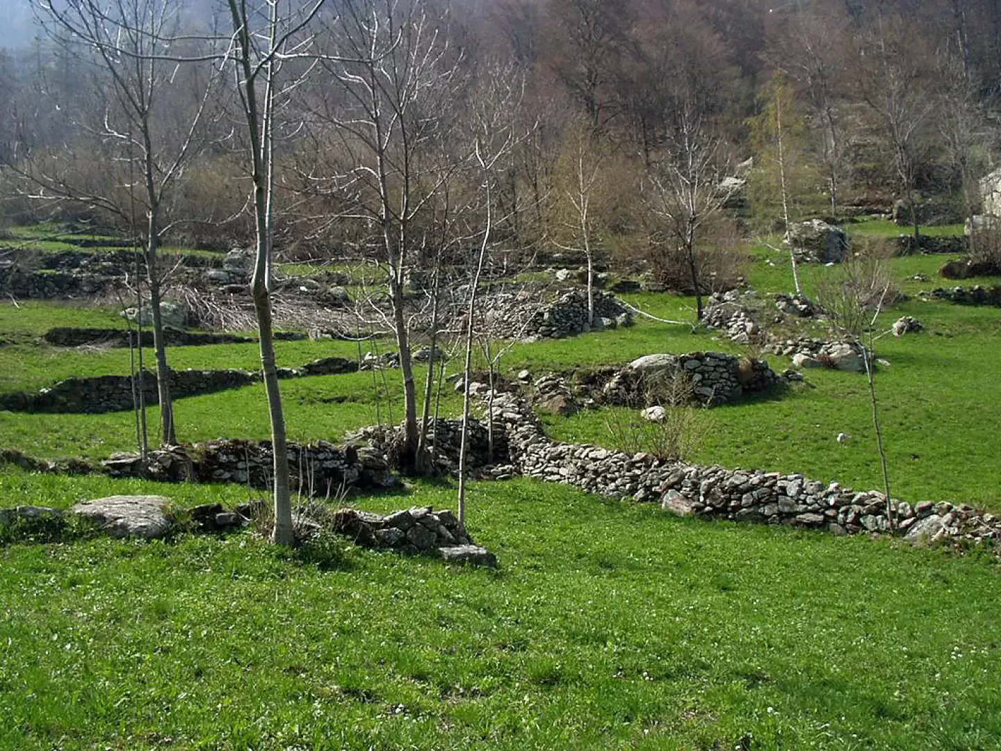
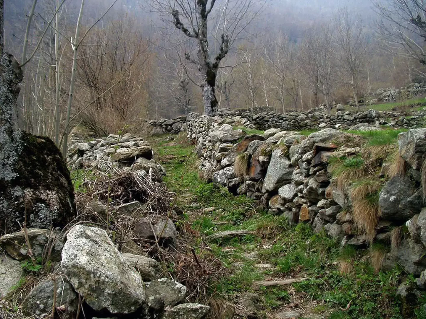
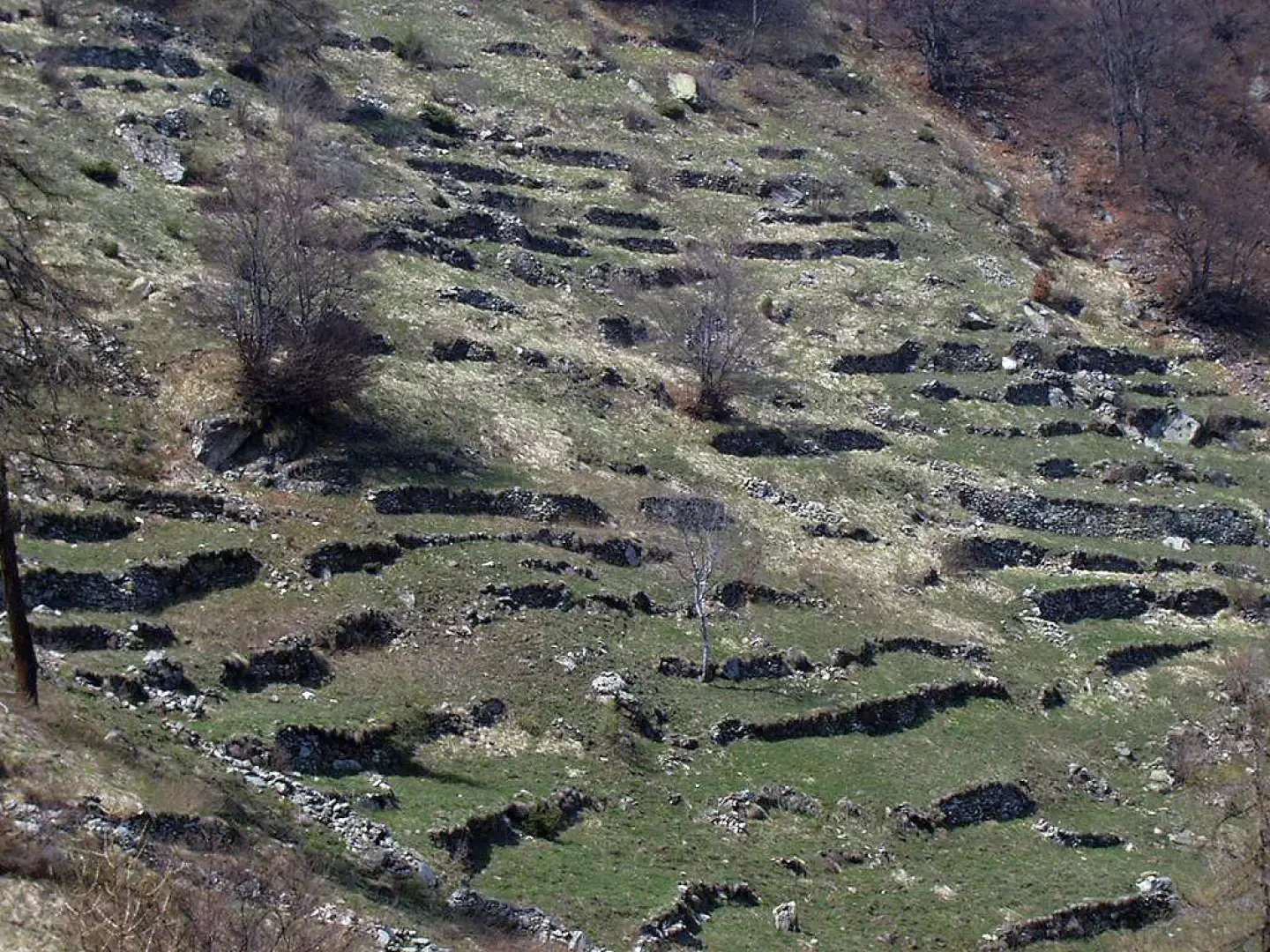
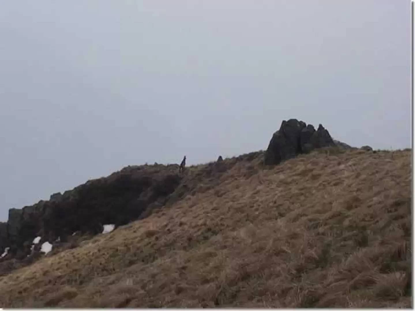
Itinerary in a not-too-frequented area of the Aosta Valley. During the ascent, after the village of Pesse, one can observe dozens of terraces and dry stone wall fences built, over time, by local mountaineers as evidence of how hard life must have been in these valleys. The final ascent to the Croix Corma takes place in a rugged and difficult environment with a little care but with a good chance of encountering chamois.
Description
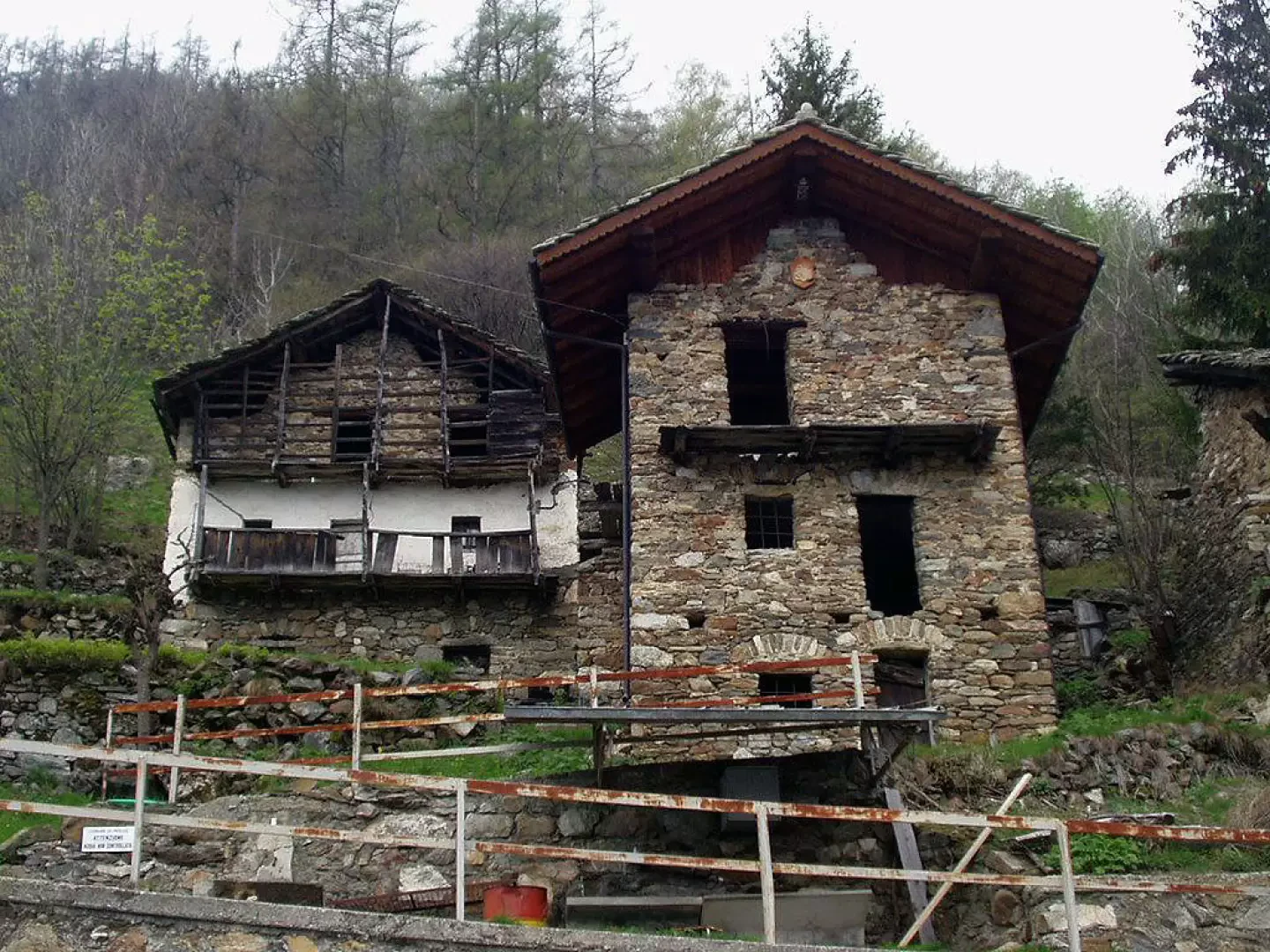
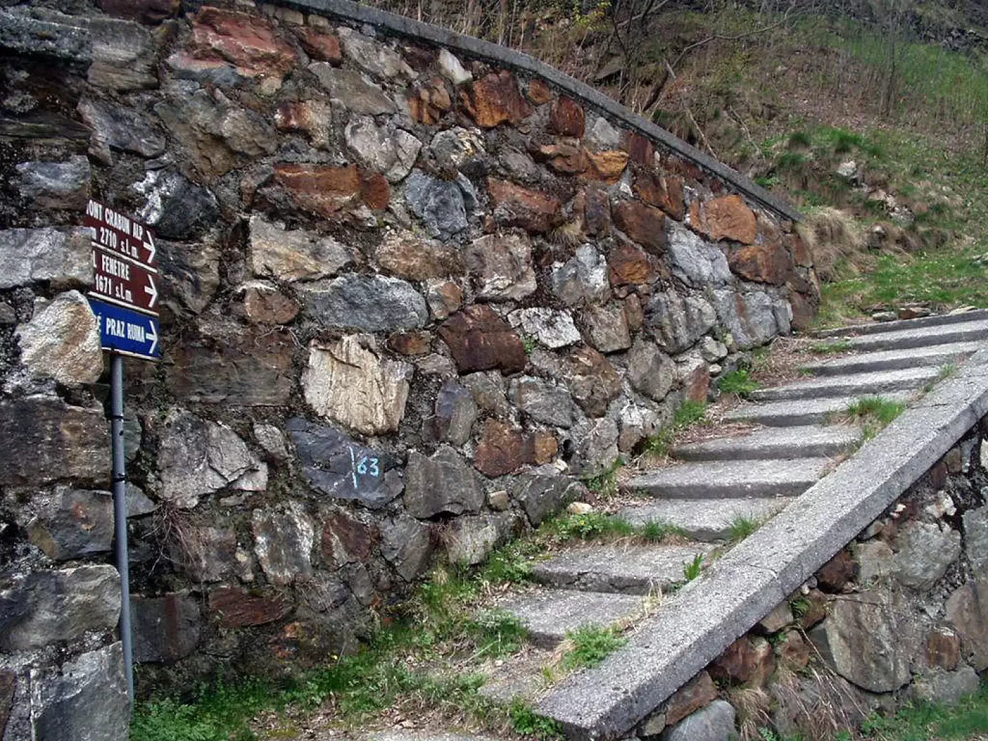
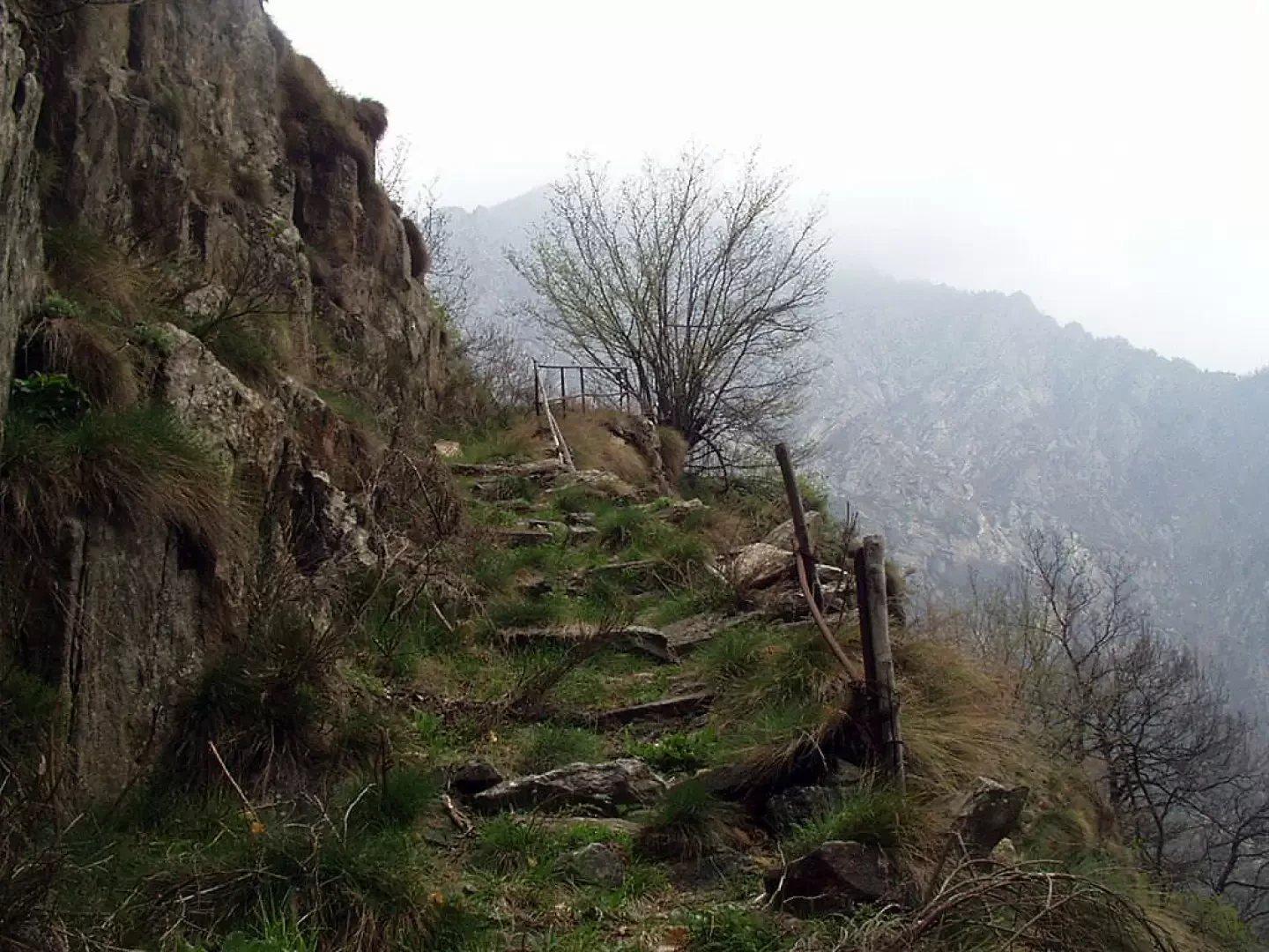
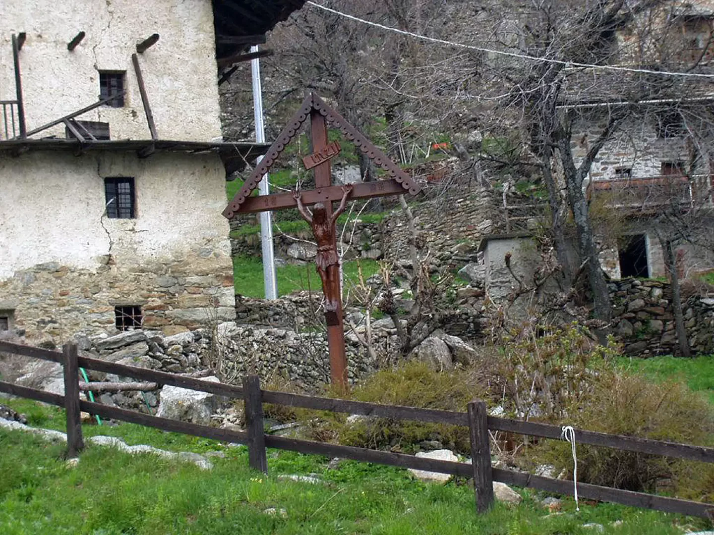
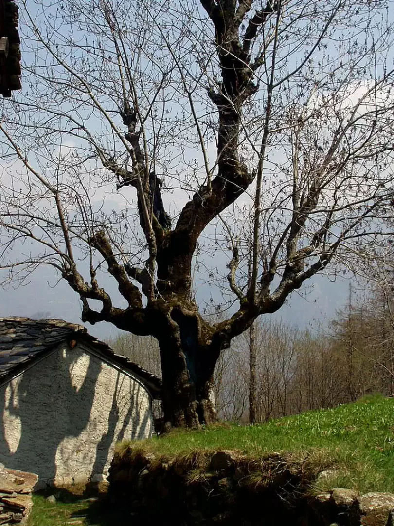
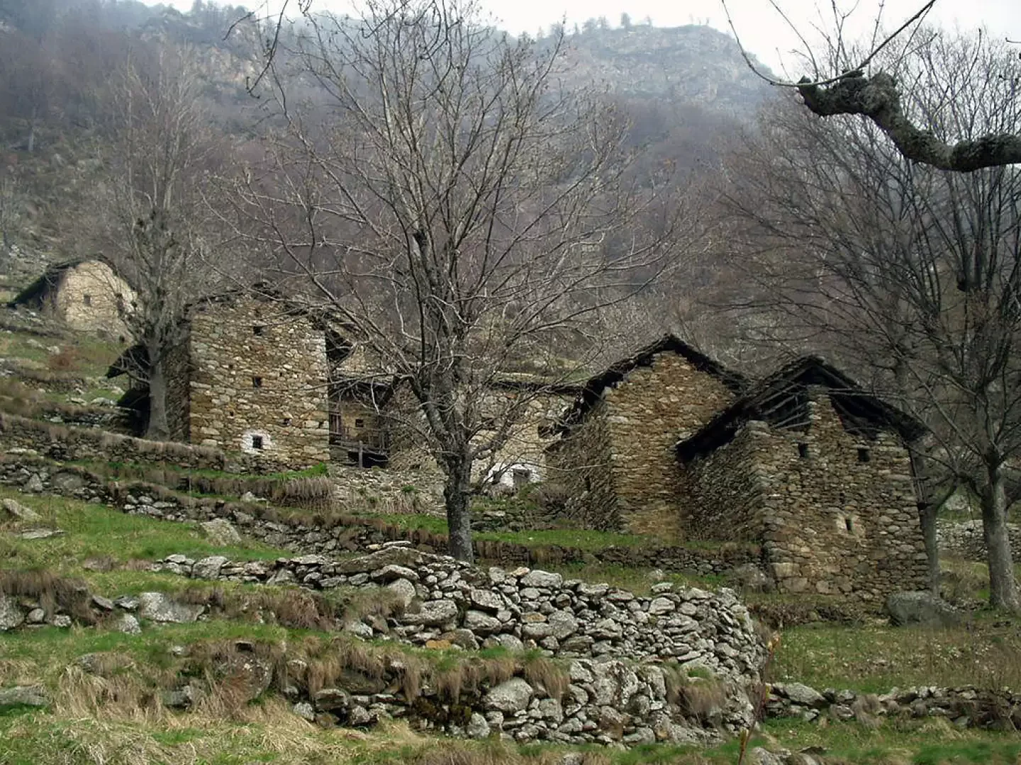
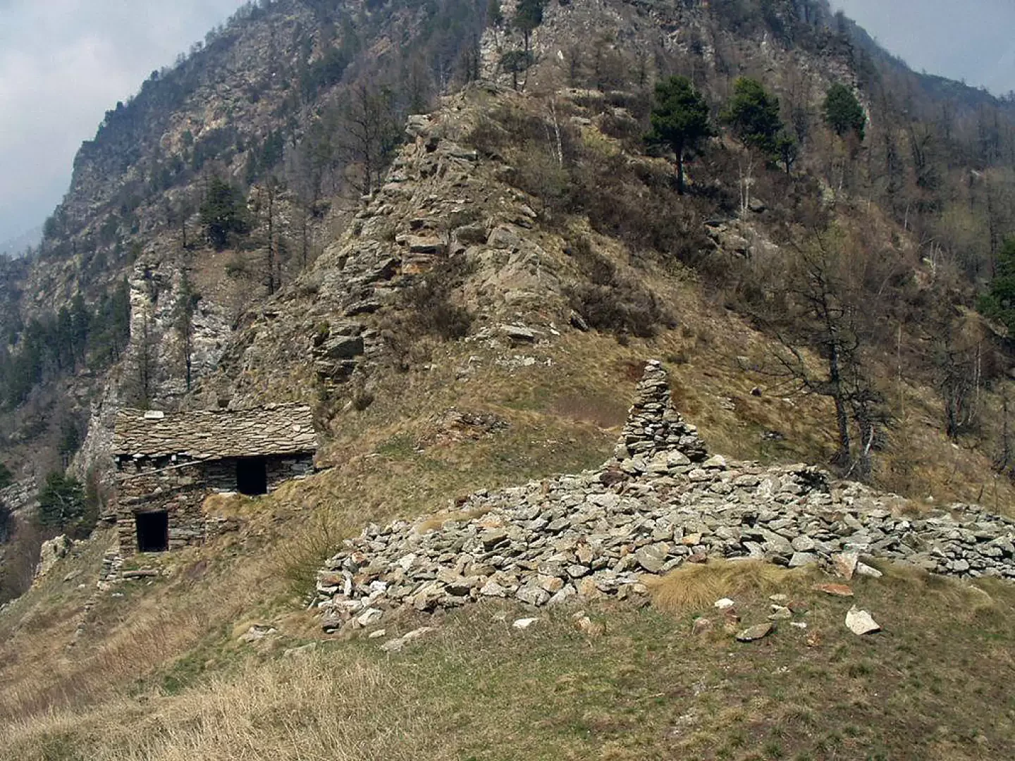
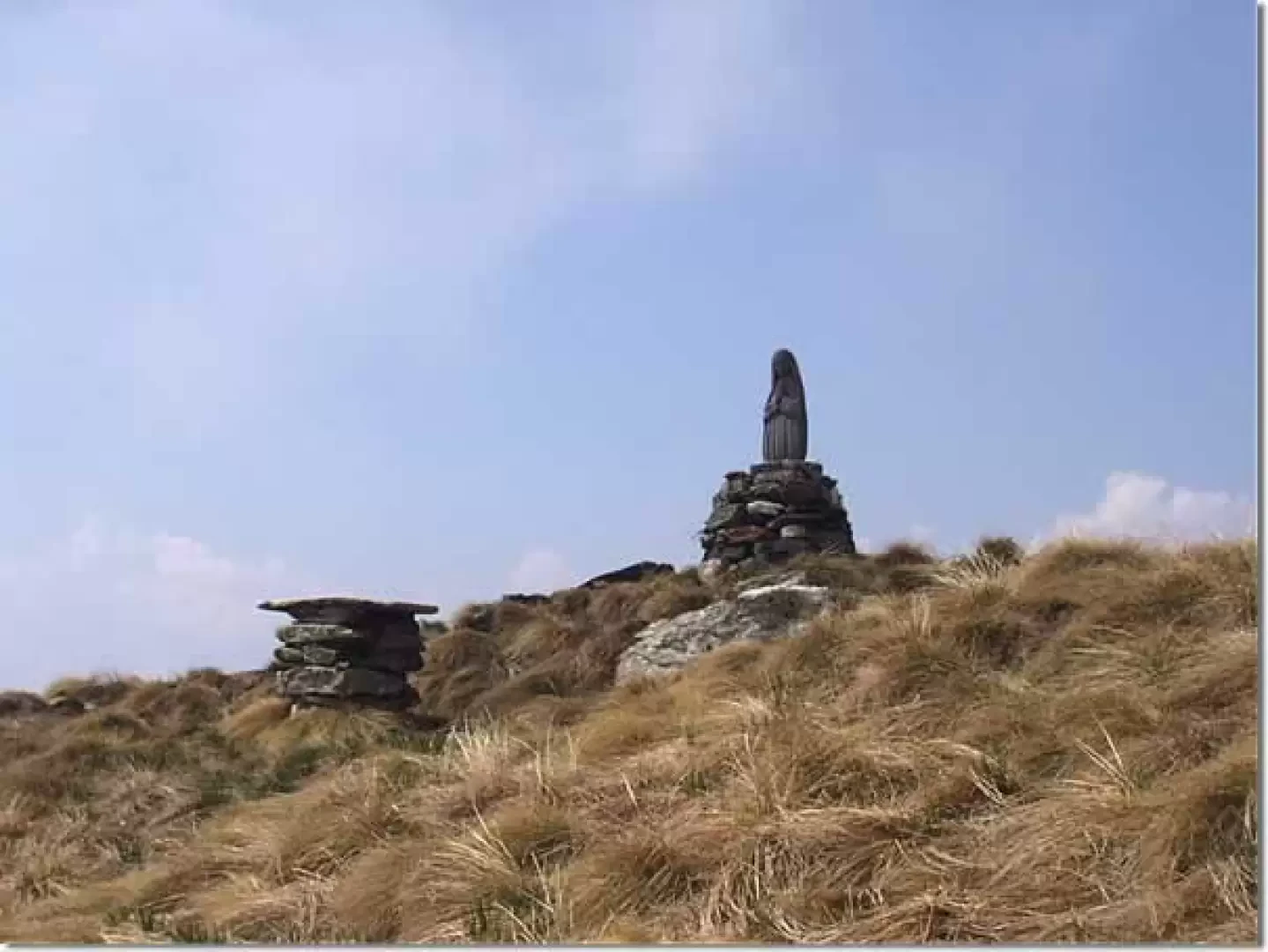
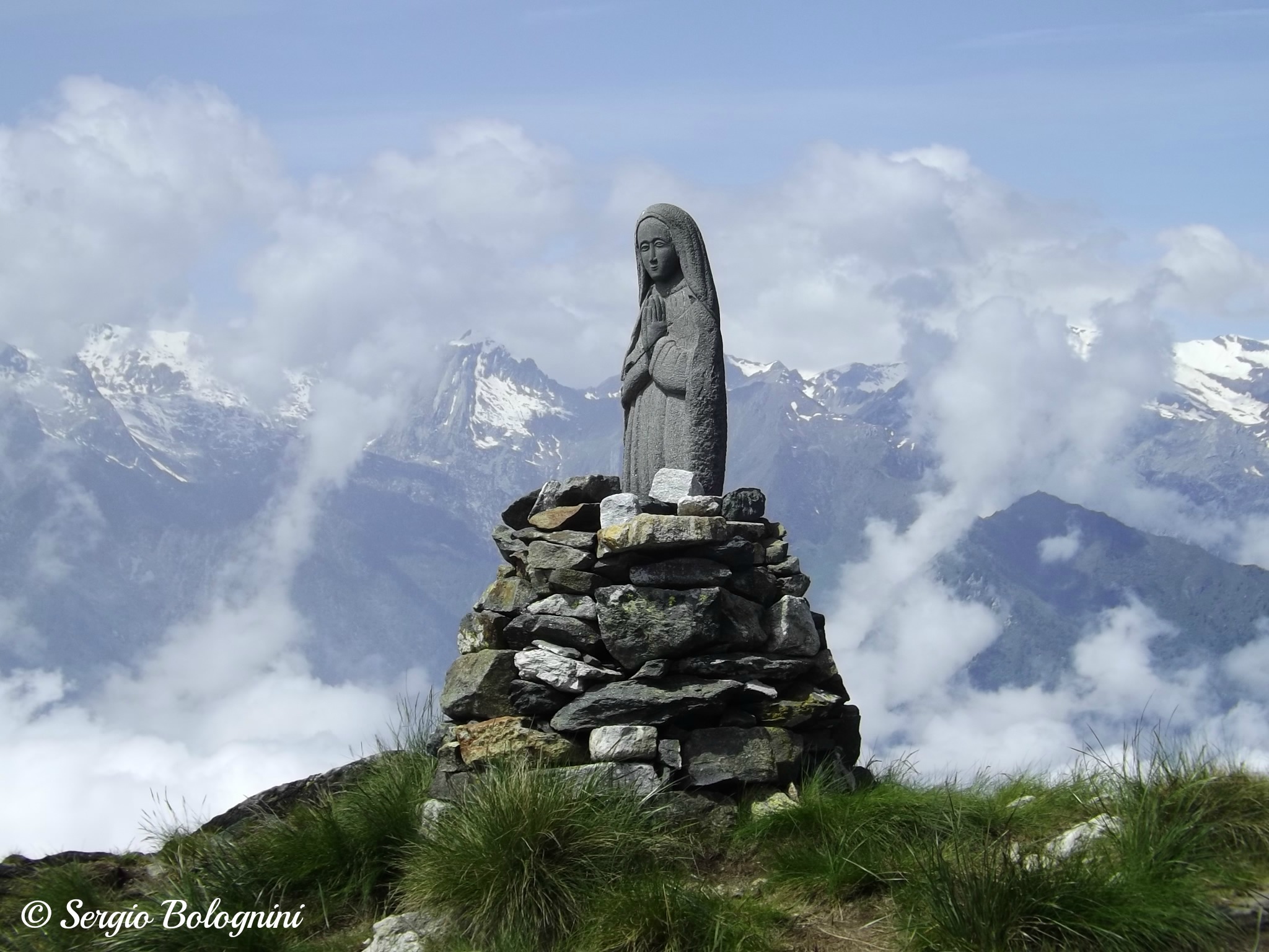
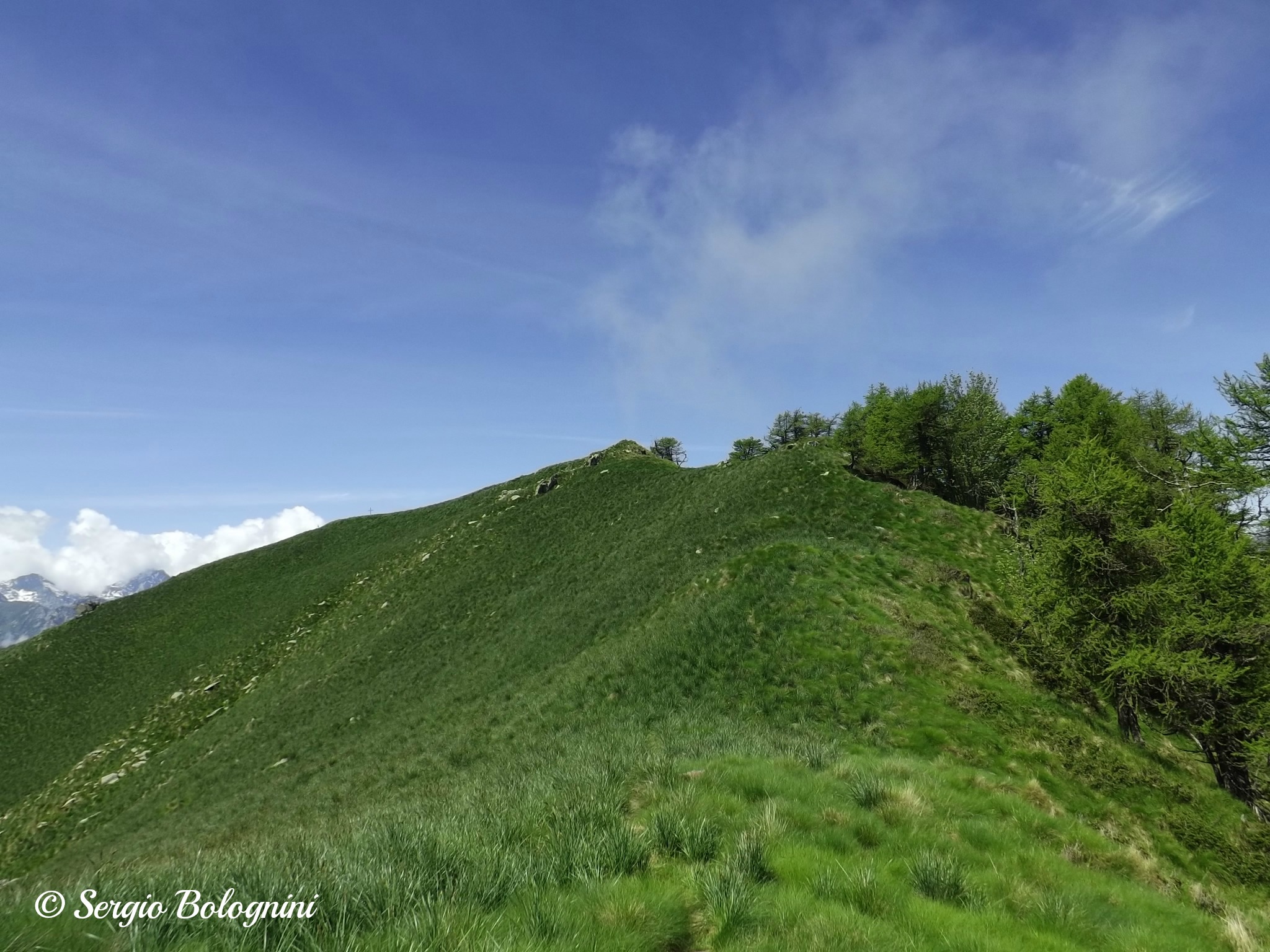
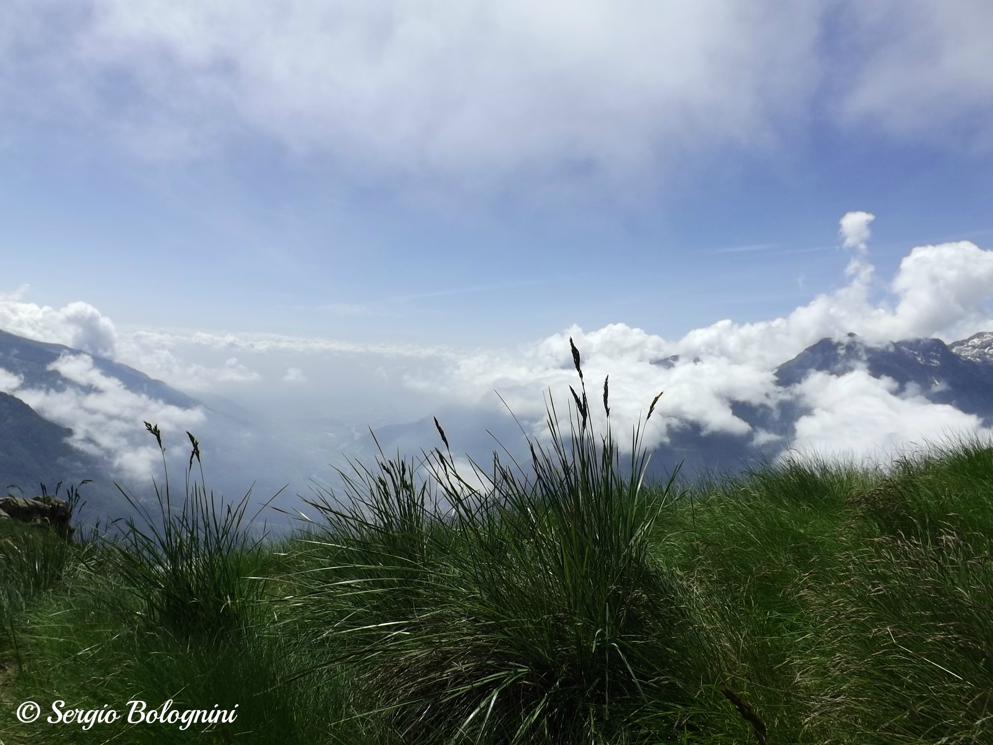
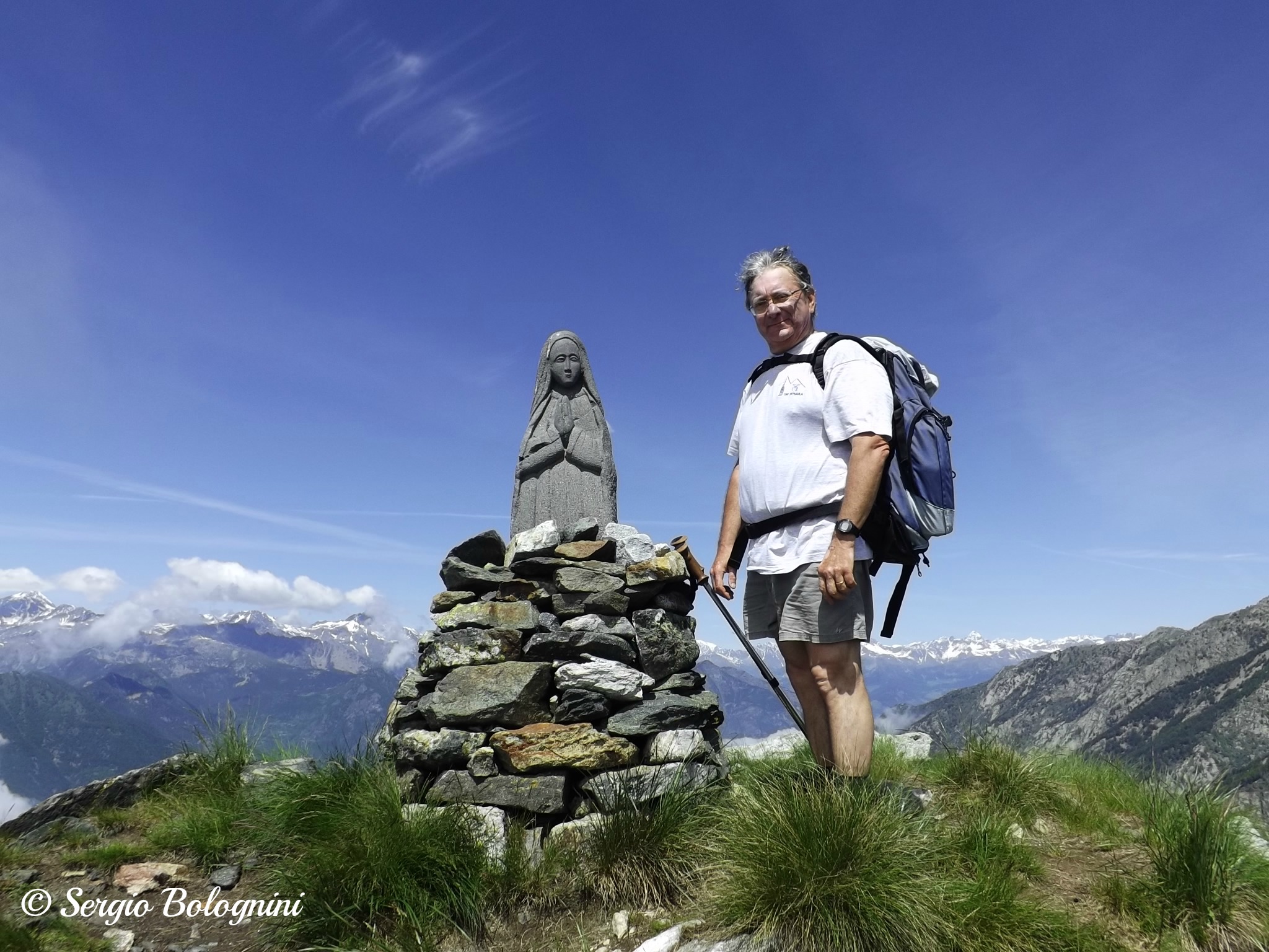
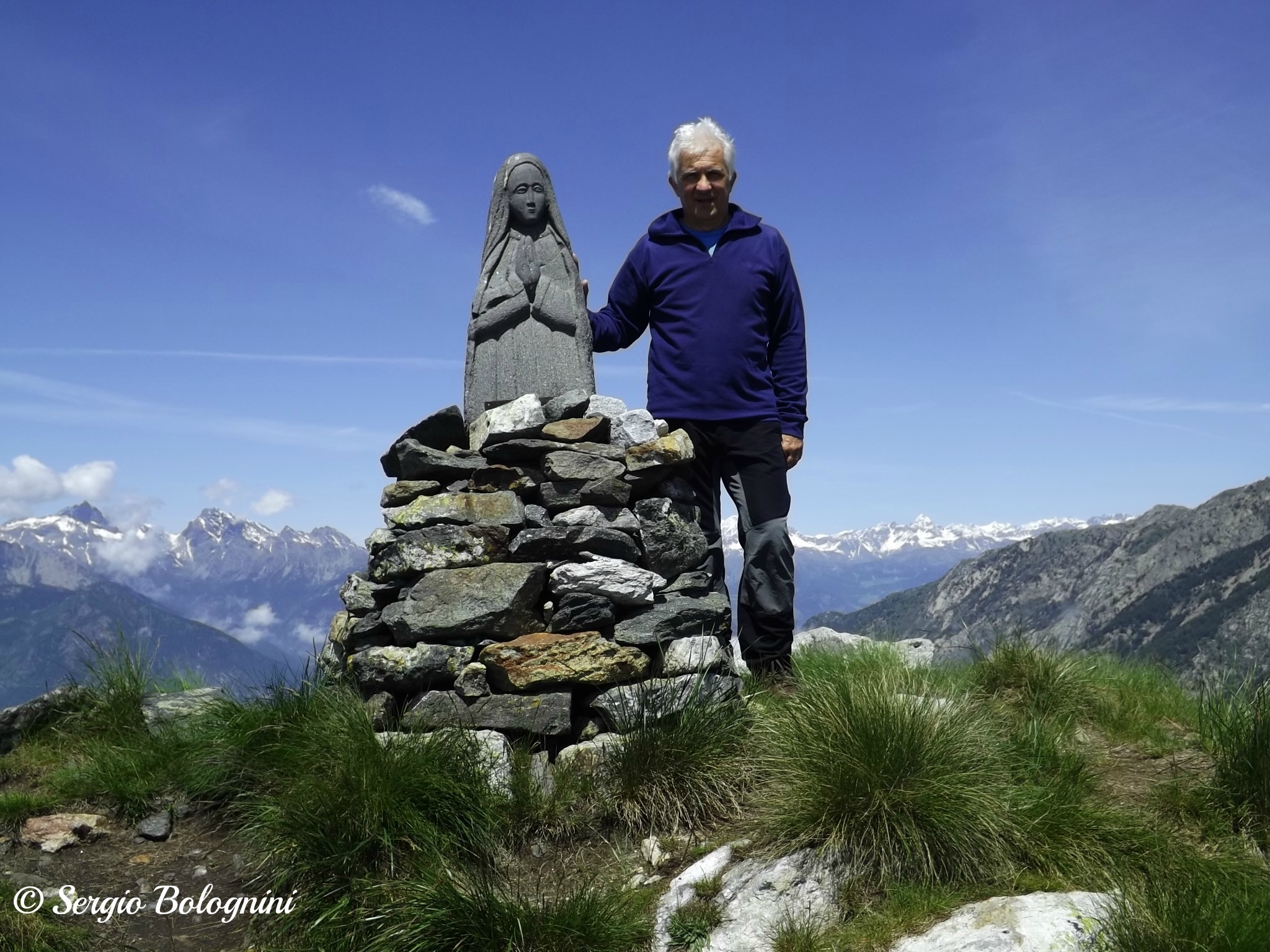
From the car park at Fey Dessus (1135 m), descend along the tarmac road for about 500 metres, then take the mule track to the left to Col Fênetre and Mont Crabun Alp. Climb the steps, cross a grassy area, pass under a rock, cross a few streams and, on a stepped path, rejoin the tarmac road with regulated traffic that climbs from Fey Dessus. Follow it to the right for a few minutes until reaching Pesse (1307 m; 0h40'). From the village of Pesse, it is worth making a very short diversions towards the lower part of the village in search of a monumental plant that is well marked on site. This is an ash tree (Fraxinus Excelsior) probably dating from the late 1700s or, at most, the early 1800s. From the wooden cross in Pesse, a marked mule track leads to Col Fênetre. After a few steps, there is a fountain-washboard from which two tracks branch off. Follow the one on the left. The mule track proceeds between dry stone walls until it crosses, on the left, after about 6/7 minutes' walk from Pesse, a second mule track marked with arrows and blue signs for "C. Corma". This mule track is the natural route to Col Fênetre, but in this itinerary it is proposed as a return route. Then proceed between low walls and terraces along the mule track on the right, which is not always very evident, as far as the village of Finestra and then to a subsequent hut, near which the previously abandoned mule track is found again. Climb up a paved path, cross a track on the left with signs for "La Korma", and you will soon be at Col Fênetre (1671 m; +0h50'; 1h30'). On the pass, there is a large cairn and, on the slope opposite the one climbed, a ruin. From the pass, a path branches off to the south, marked with red and white stripes on trees and rock outcrops, leading to the Croix Corma. The trail, which is not at all obvious, climbs along a grassy and slippery slope and reaches a first rocky ridge that is not very easy to cross (alternatively, it can be circumvented to the left along grassy, steep and slippery slopes, on which, however, great care must be taken). Continue along the ridge between rocks, grass and conifers, pass a scrub of mountain pines and arrive, after another short stretch between rocks, on the grassy summit of Croix Corma (1958 m; +1h00' ; 2h30'). On the summit there is a statuette of Our Lady and a small stone altar. A few dozen metres away there are also two crosses. On the surrounding grassy ridge, which joins the Croix Corma with Mont Arpia, chamois are sometimes encountered. The descent to Col Fênetre (1671 m; 0h40') and to the hut below is by the same route. Then take the mule track to the right that leads into the coniferous forest. At times there are beautiful views of the terraces below, witnesses to the hard work of the mountaineers of these places. When you reach Pesse (1307 m; +0h40'; 1h20'), as a variant, you can take the tarmac road as far as the Fey Dessus esplanade (1135 m; +0h30'; 1h50').
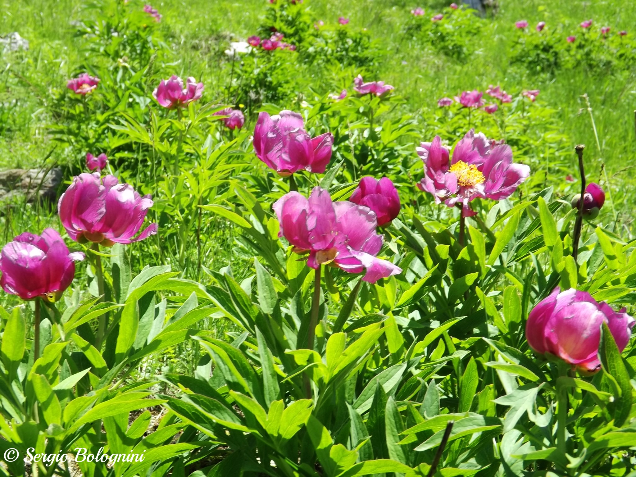
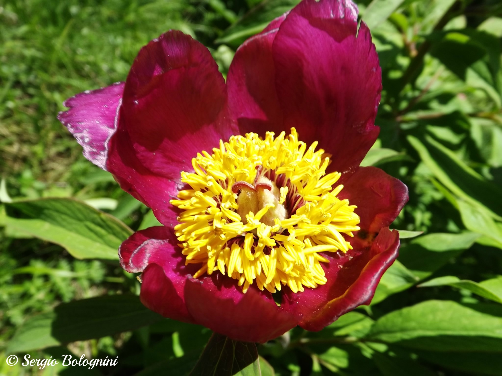
Condizioni via o sentiero: ottima mulattiera (segnavia 2) verso il Col Fenetre. Sentiero ben evidente ma decisamente ripido da poco sotto il colle fino alla vetta (segnavia 2A) Pericolo Oggettivo: nessuno Tratti esposti: qualche breve tratto nel traverso nel bosco Affollamento: solo due escursionisti in vetta. Più affollamento al Col Fenetre per vedere la splendida fioritura delle peonie selvatiche.
Condizioni meteo
Cielo: dapprima sereno poi più nuvoloso Temperatura: gradevole
Avvistamenti
Fauna: Flora: un "mare" di peonie (peonia officinalis)


Comments (0)
Sign in to leave a comment