Ivano Ruffoni
Wrote 103 reports, for a total distance of 39,48Km up and a total elevation gain of 75,56Km and 624 hours of walking
Active filters:
User: 437
Showing 103 results
with active filters
Loading...
Col de la Lex Blanche
This itinerary leads to the upper part of the severe Bellacomba valley, upstream of the two beautiful lakes of the...
T2
0.00 Km
967 m
Colle di Bassa Serra, from Pont Serrand
The Col de Basse Serra, together with the nearby Col des Chavannes, is a magnificent viewpoint over the Mont Blanc...
T3
0.00 Km
876 m
Bocchetta Corno dei Tre Signori, from Pra del Rum
The proposed hike goes up the Viso valley, shaped in a U-shape by the action of the glaciers, to the...
T2
0.00 Km
1221 m
Tête de la Tronche, from Praz Sec d'en Bas
The Tête de la Tronche is at the head of the Val Sapin and connects the panettone of the Testa...
T2
0.00 Km
960 m
Nivolet Hills and Lakes
The proposed itinerary, at times very busy, leads to the two passes that connect Pian del Nivolet with the Rhêmes...
0.00 Km
0 m
Conca di Pozzuolo
The Conca di Pozzuolo is located on a beautiful panoramic balcony in the debris valley north of the Cima di...
T2
0.00 Km
0 m
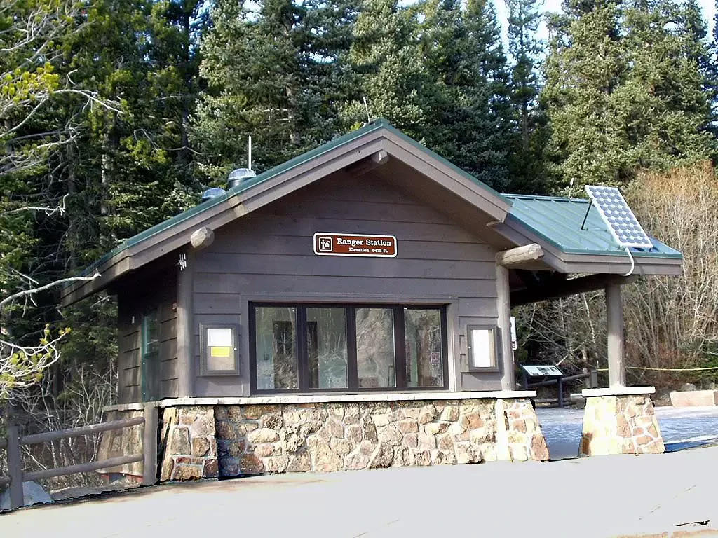
Emerald Lake
The proposed itinerary is probably the most popular and busiest in Rocky Mountain National Park (especially in summer it is...
T2
4.50 Km
200 m
Smugglers' Pass, from Case di Viso
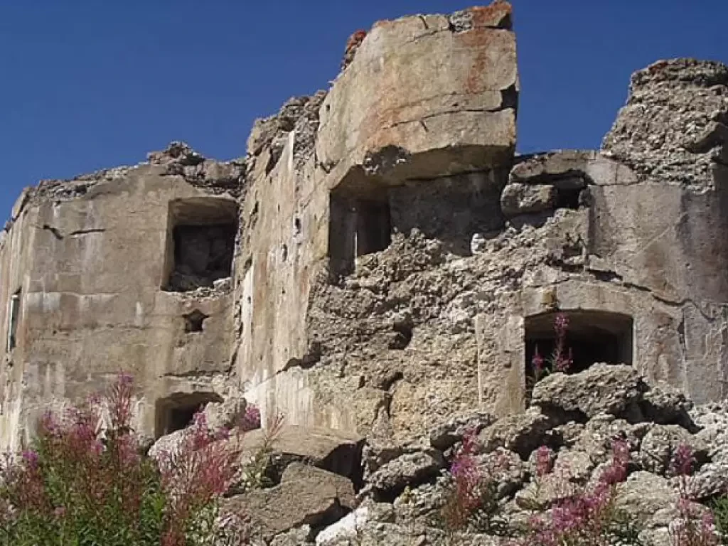
The itinerary leads to the visit of several remains of settlements and military constructions of the "White War", conducted from...
T2
12.00 Km
918 m
Ercavallo Lakes, from Pra del Rum
The proposed excursion goes up the Viso valley, modelled in a U-shape by the action of the glaciers, to the...
T2
0.00 Km
744 m
Vermiglio Valley Forts
The five Austro-Hungarian forts in the Vermiglio Valley were part of the group of forts erected to block passes in...
T2
0.00 Km
1127 m
Bastia Tower and Ruby Castle
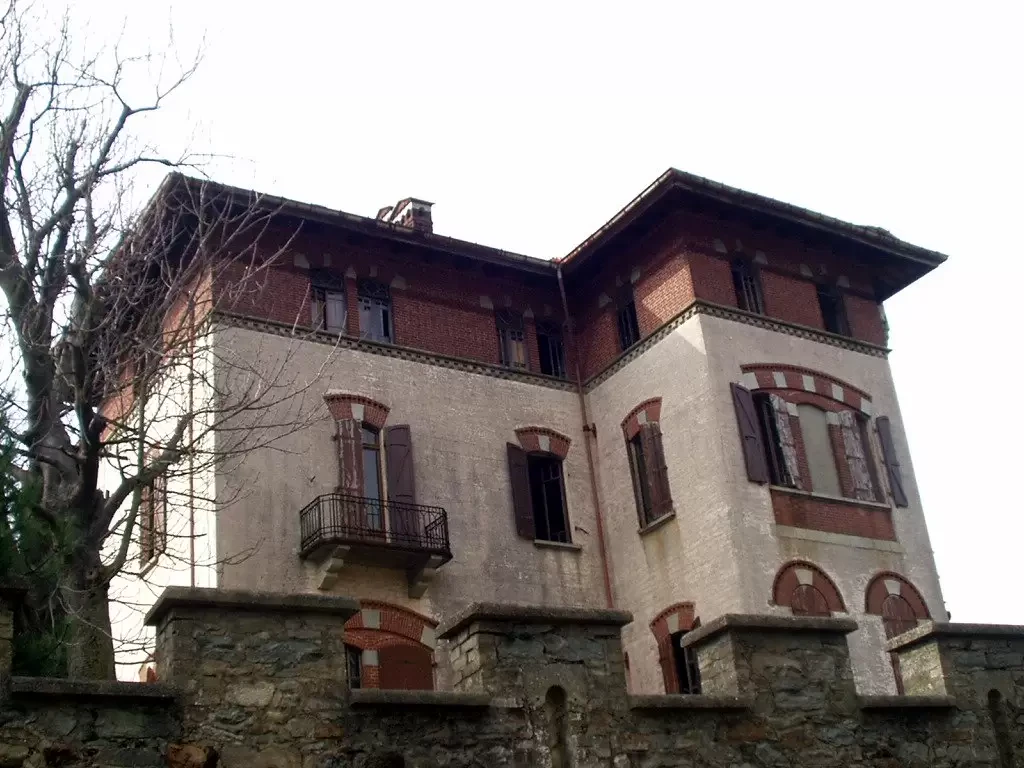
The proposed itinerary takes you to visit a part of the northern Serra, set in the characteristic Ivrea Morainic Amphitheatre...
T2
0.00 Km
263 m
