Leave the motorway junction at Châtillon, turn left and continue for about 300m until you come to a roundabout: take the third exit and continue straight on Via E. Chanoux. Cross the historic centre of Châtillon for about 600m and then turn slightly right onto Via Menabreaz to follow for 450m to the characteristic roundabout with the "Matterhorn" inside. Take the second exit and take the Valtournenche road for about 7.6km to Antey-Saint-André, where you turn right onto the to La Magdeleine. Climb up the regional road for 7.5km until you reach the main town of Brengon. Before the church, there is a covered car park 🅿️ on the right where you can leave your car.
[0h26'] - [16.3km] How to get there with GMaps How to get there with Apple Maps
These indications are based on direct verification carried out at the time of the survey of the route so the information must be verified before starting the hike. We recommend using a GPS navigator or map app on your smartphone to get up-to-date and detailed directions.
Introduction
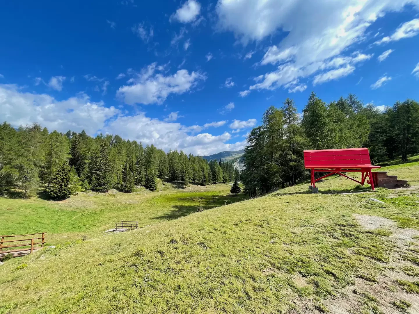
The Col Pilaz is a popular destination for hikers and mountain lovers. It is possible to hike and trek along the surrounding trails, admiring the natural beauty of the area. Since 2020, the destination has become very popular due to the installation of a giant bench at the site of the Big Bench Community project. In addition to the giant bench on the hill, there is a picnic area with benches and a beautiful stone fountain 💧 with very fresh water.
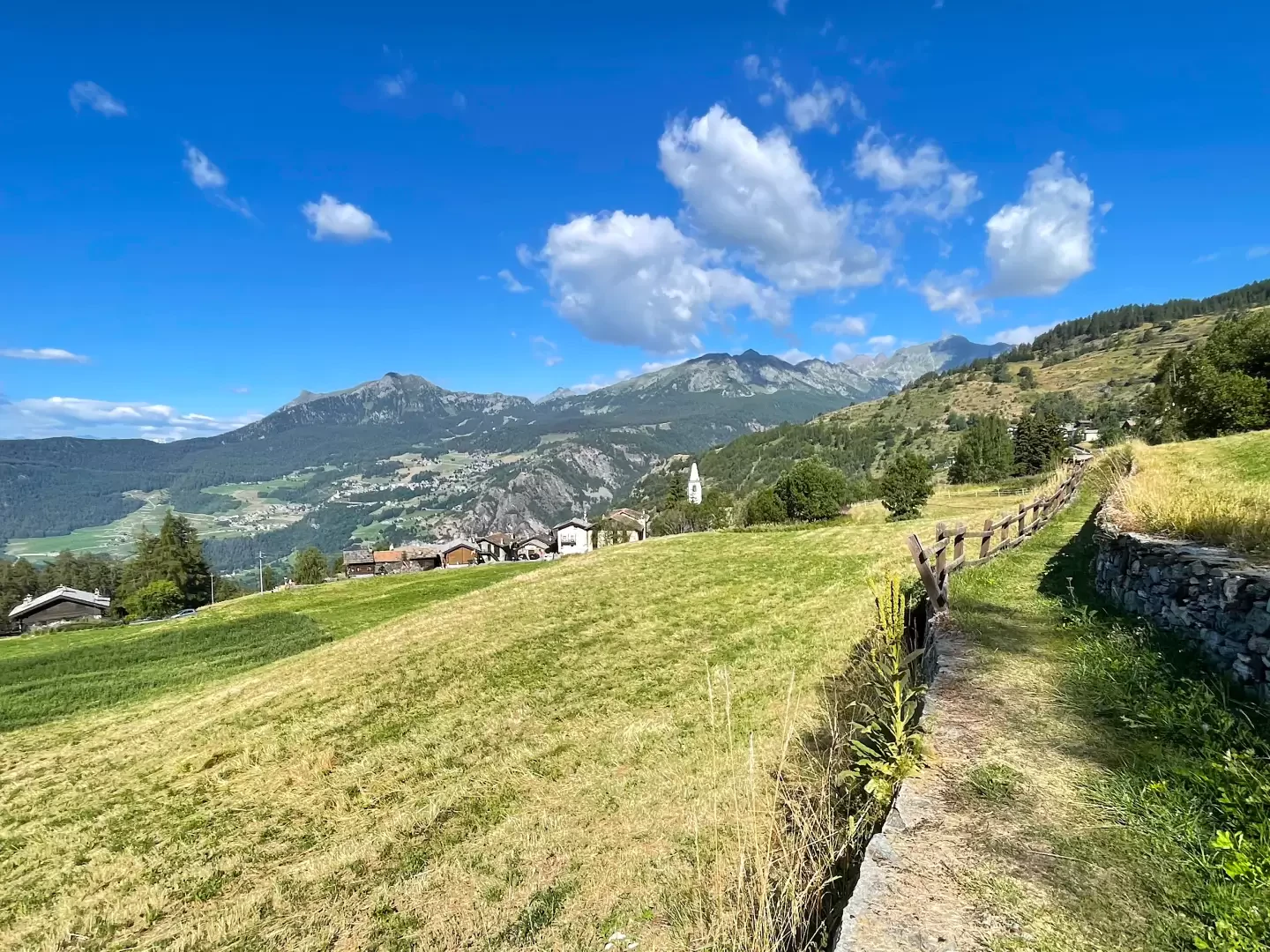
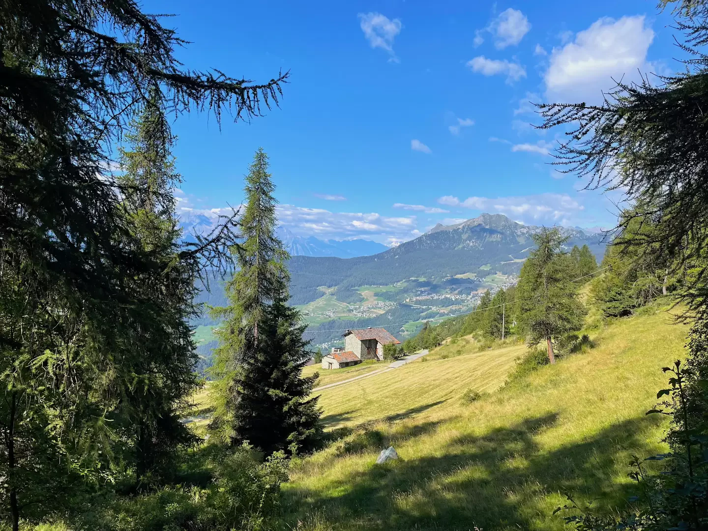
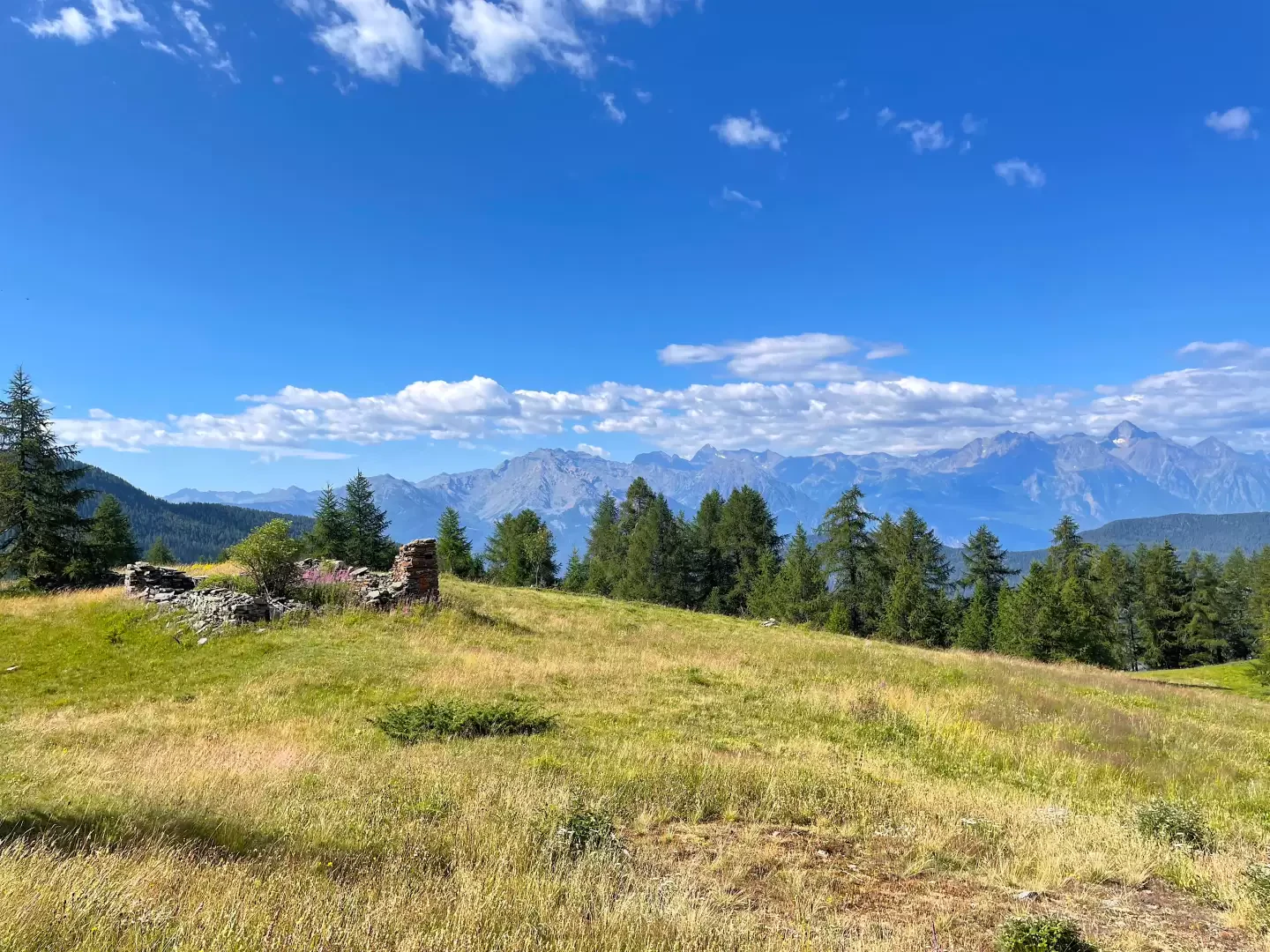
From the hill, one can appreciate interesting panoramic views to the south, with views of the main peaks of the central Aosta Valley, from Mont Barbeston to Mont Emilius. Turning northwards, as well as seeing the small lake of the same name when there are no clouds, you can make out the Matterhorn in the background.
Description
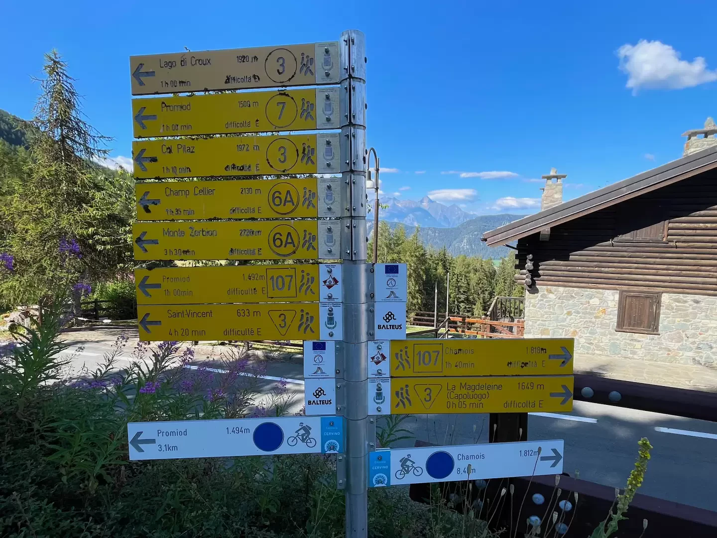
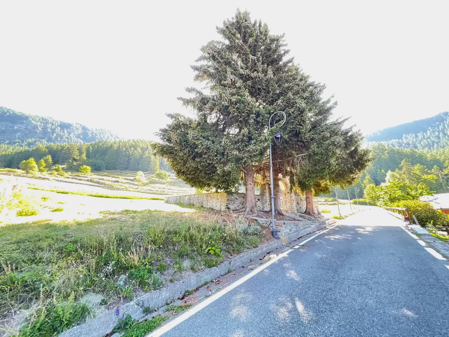
0h00' Leaving the car park you will immediately come across a fountain 💧 useful for filling up with water and proceed in a southerly direction for about a hundred metres until the entrance to the little road for Promiod where a signpost indicates the route to follow: signpost
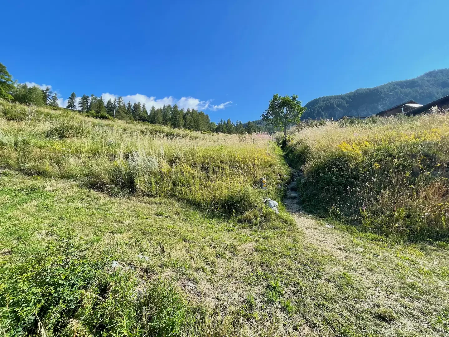
for Col Pilaz. Continue for about 40m until you come to the old cemetery of La Magdeleine. Once you have passed it, turn left to take an unmarked path through the pastures.
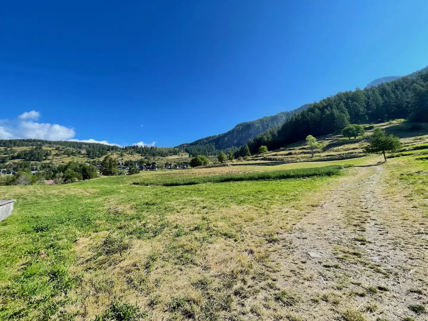
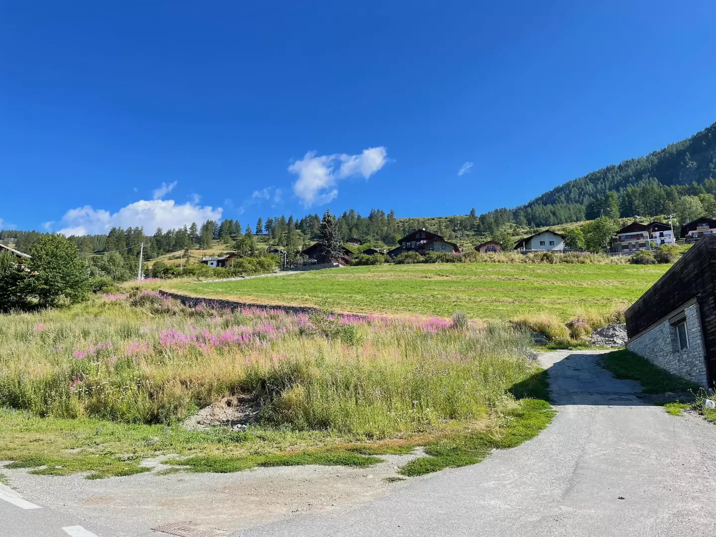
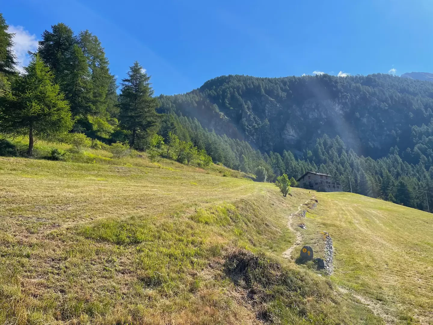
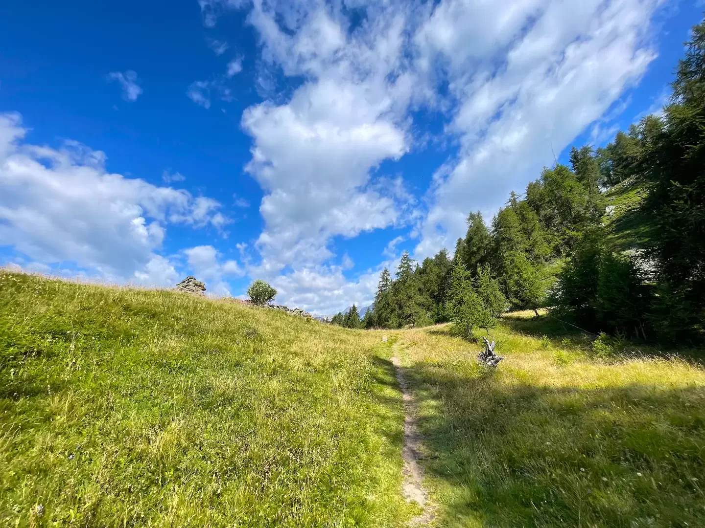
0h05' The path skirts the cemetery and proceeds straight ahead through the pastures before making a left turn and continuing along a wooden railing with a short downhill stretch before climbing briefly up to a playground ahead of the sports area, skirting a few houses. Go down another short stretch of path and you will reach the road near a small arena with a small lake.
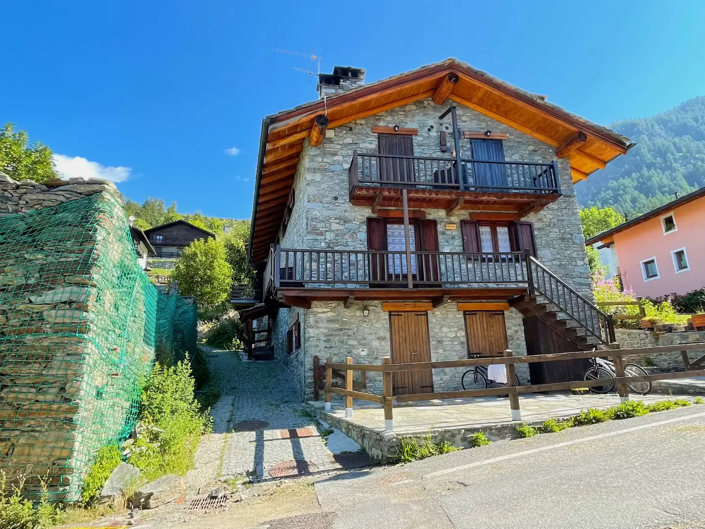
0h10' Follow the little municipal road uphill past the Lo Sport Bar to leave it a little further on and take a grassy mule track that in a few minutes leads to the village of Artaz above (1714m).
0h20' Cross the communal road inside the village and continue along a cobbled lane that tends to the left past some colabents and leads back onto the communal road. Cross the road again and, following marker
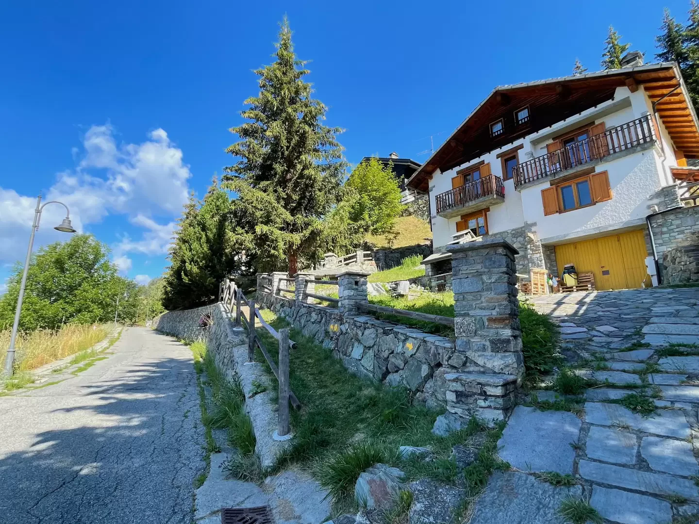
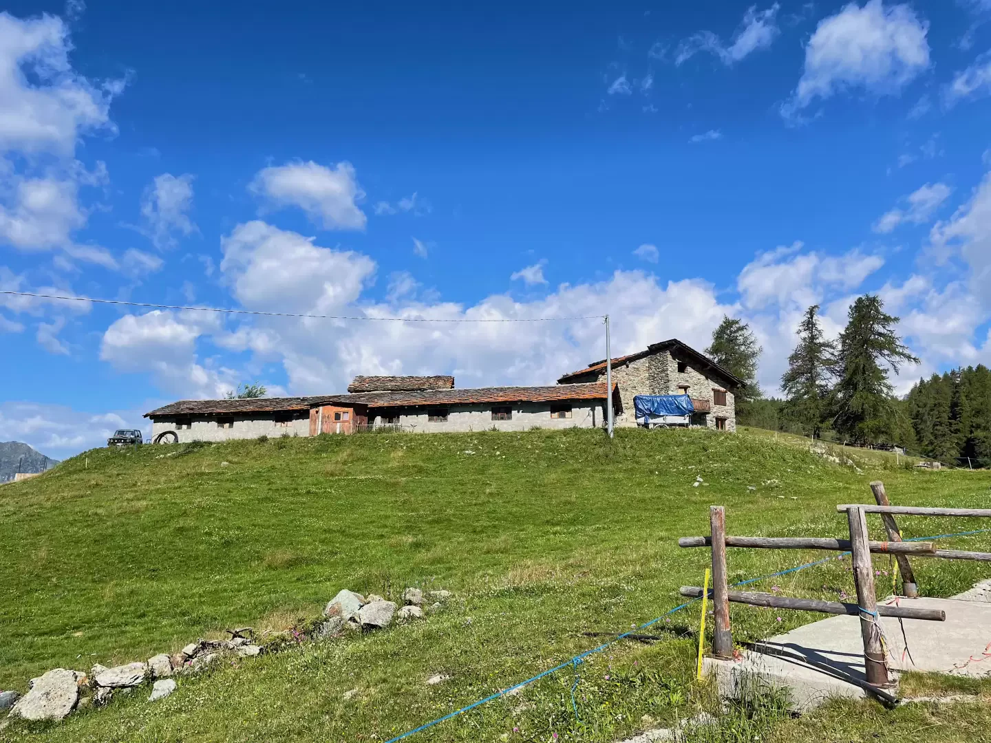
, take a path that crosses a wooded strip before entering the pastures. Walk up the pastureland following the obvious path, first in a straight line, then veering to the right until reaching the little municipal road again. Cross it for the last time, rejoining the little path that joins the now unpaved road, which soon reaches Leyes (1848m).
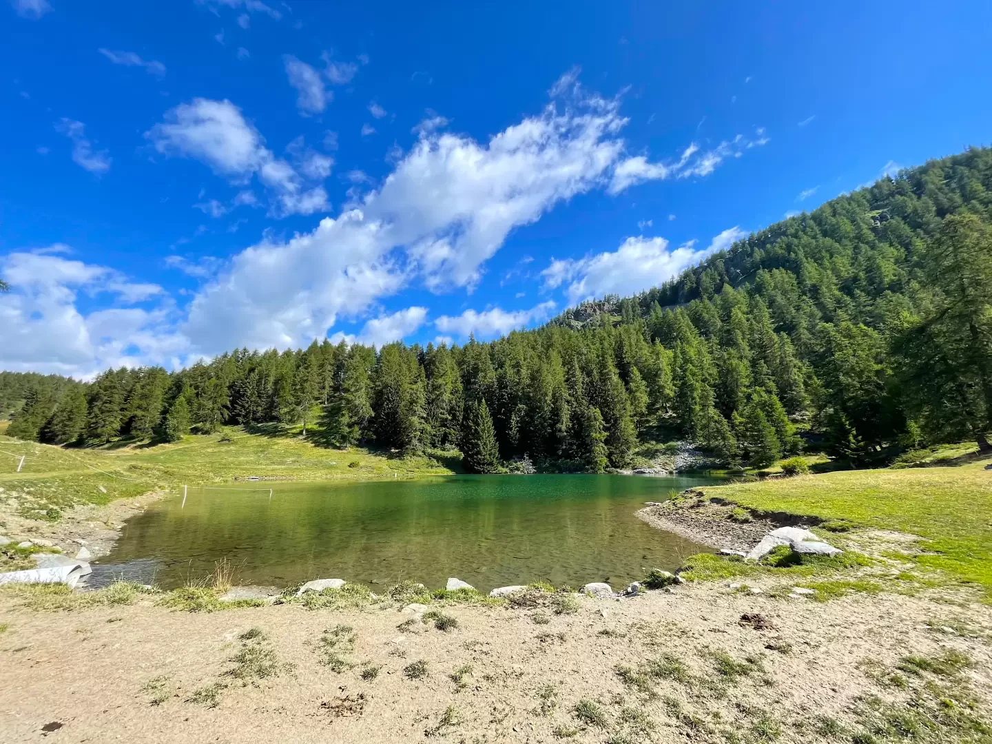
0h40' Follow the little road for a few more metres and, at the entrance to the wood, turn left following the signs. The path immediately gains height in the larch woodland (Larix decidua) and then turns left until it comes into view of the Croux pastureland (1928m) next to the little lake of the same name (1917m).
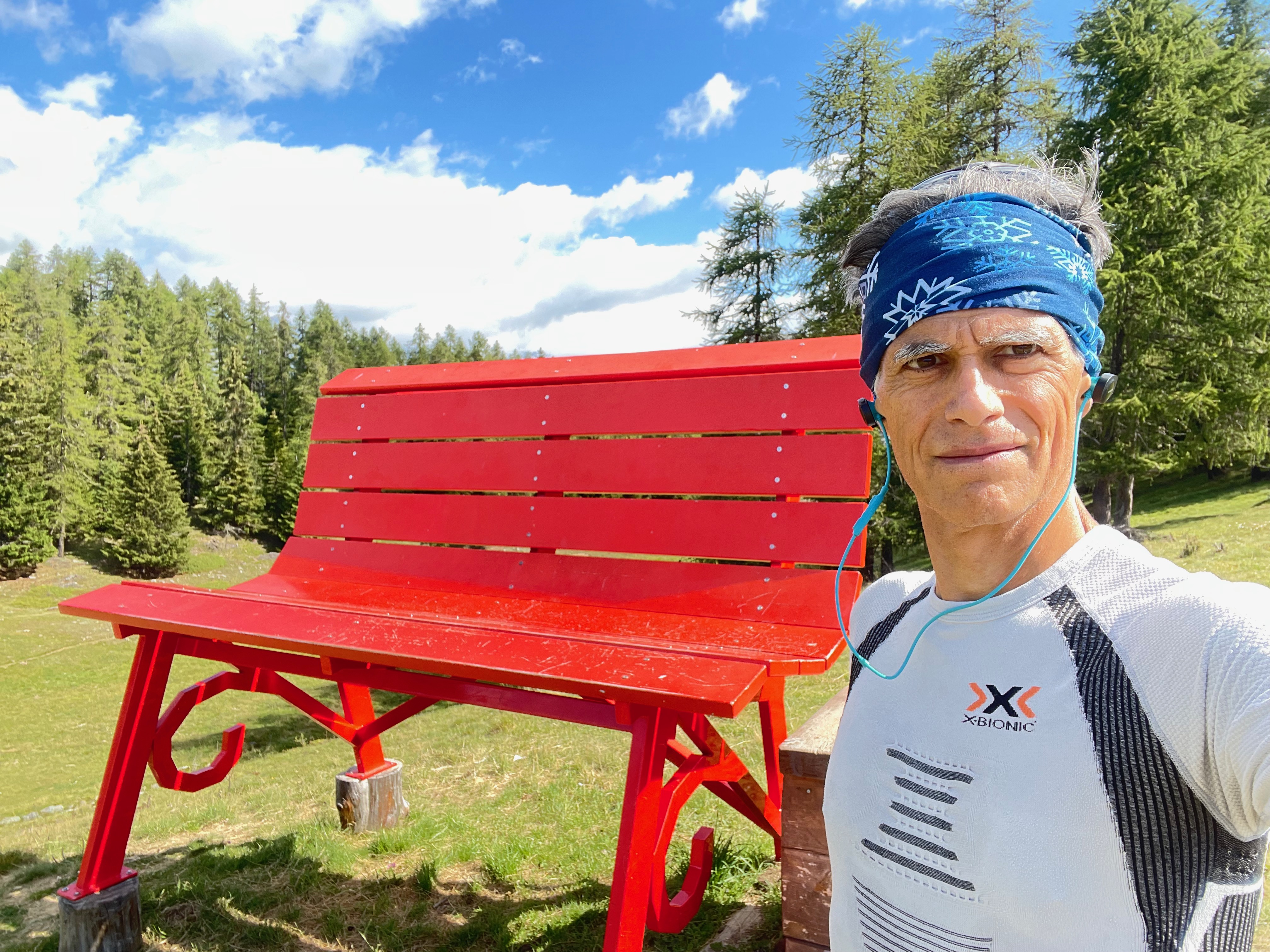
0h55' Walk along the pond to its northern peak where you will find a marker on a stone indicating to turn right to ascend a grassy track that leads the hiker back into the larch forest. Having completed the most intense part of the ascent, the path turns left and softens the slope. It skirts the ruins of Novice (1972m) and a little further on, after going around a barrier, it joins the farm road that leads to Champlong. Turn left and a slight descent takes you to the Big Bench (Big Bench #125) and Col Pilaz (1966m) 1h10' .
The return is along the same route as the outward journey 0h40' .
Passeggiata post CMUR alla scoperta del sentiero
che non ho mai percorso in maniera integrale. In discesa ho percorso la poderale sino a Vieu e poi fino al punto di partenza. Giornata piacevolmente fresca con cielo terso. Al colle non ho trovato nessuno, fatto alquanto inconsueto… ma forse sono arrivato un po' prima degli escursionisti in visita al Big Bench #125.


Comments (0)
Sign in to leave a comment