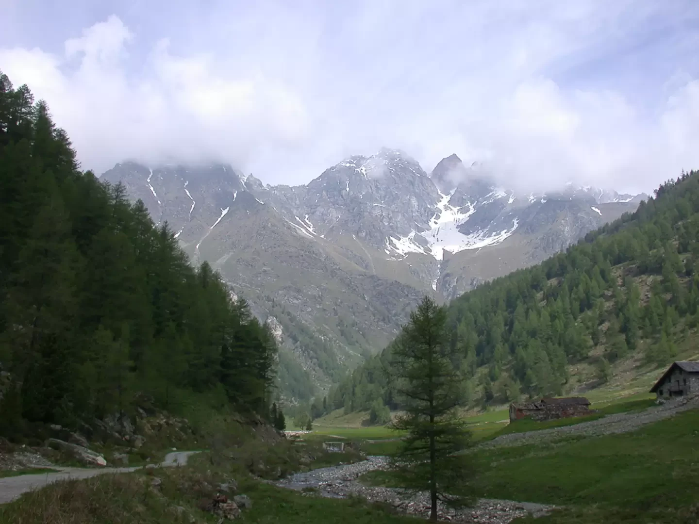
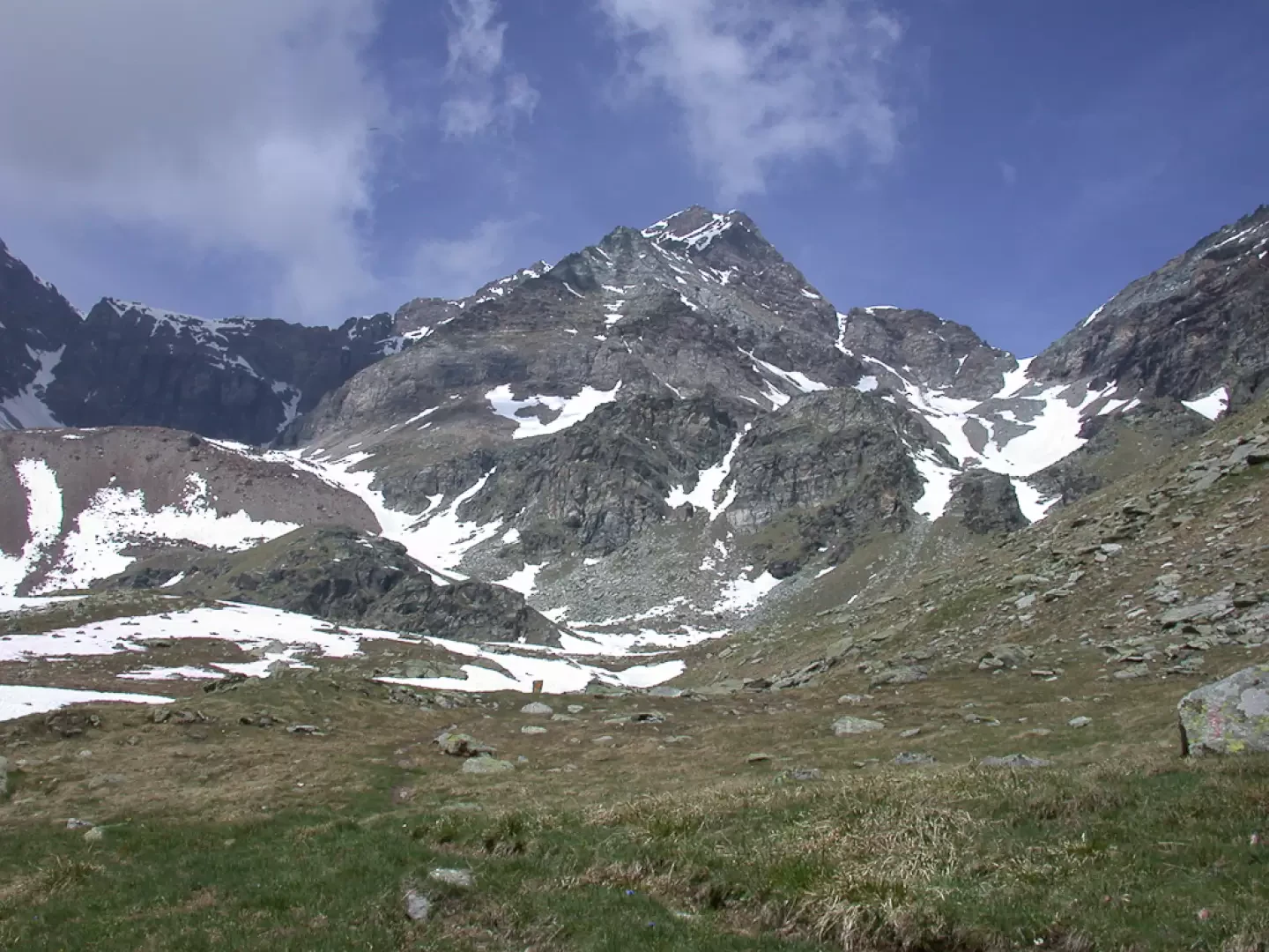
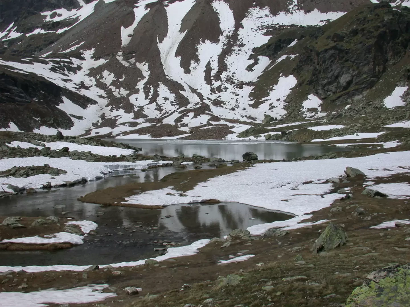
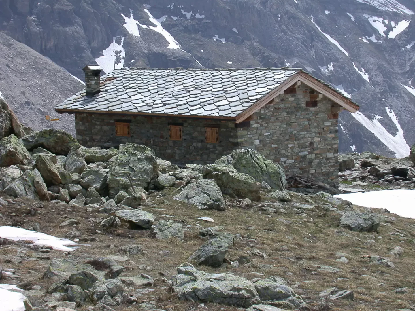
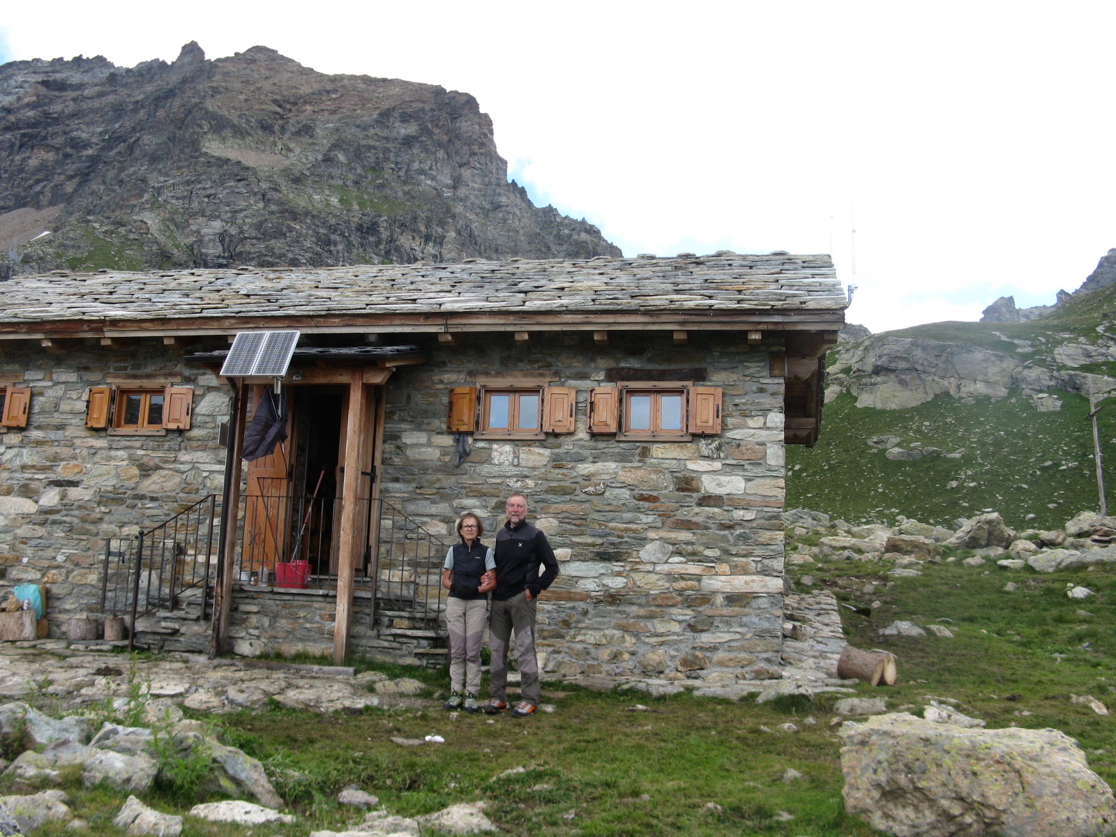
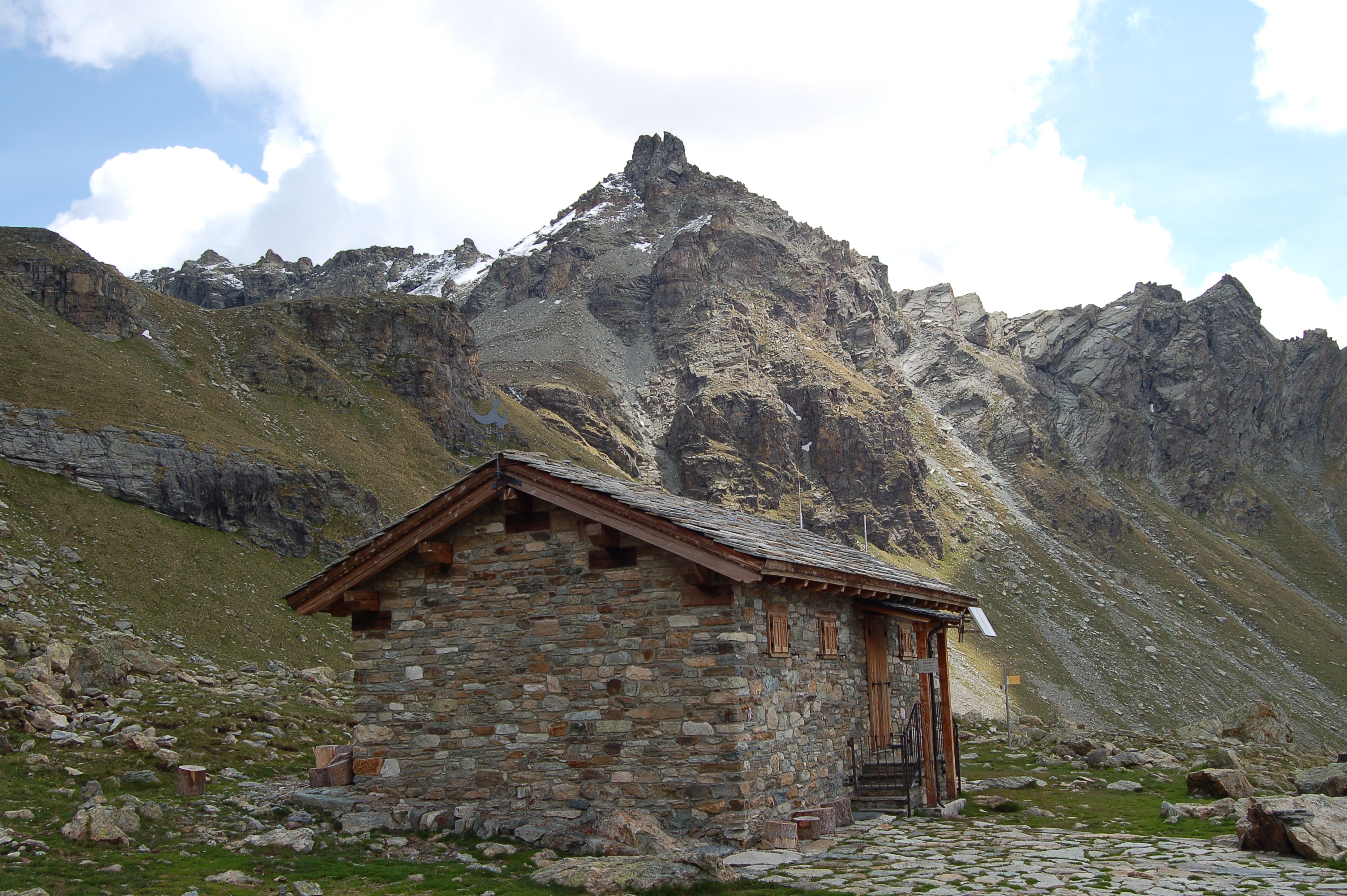
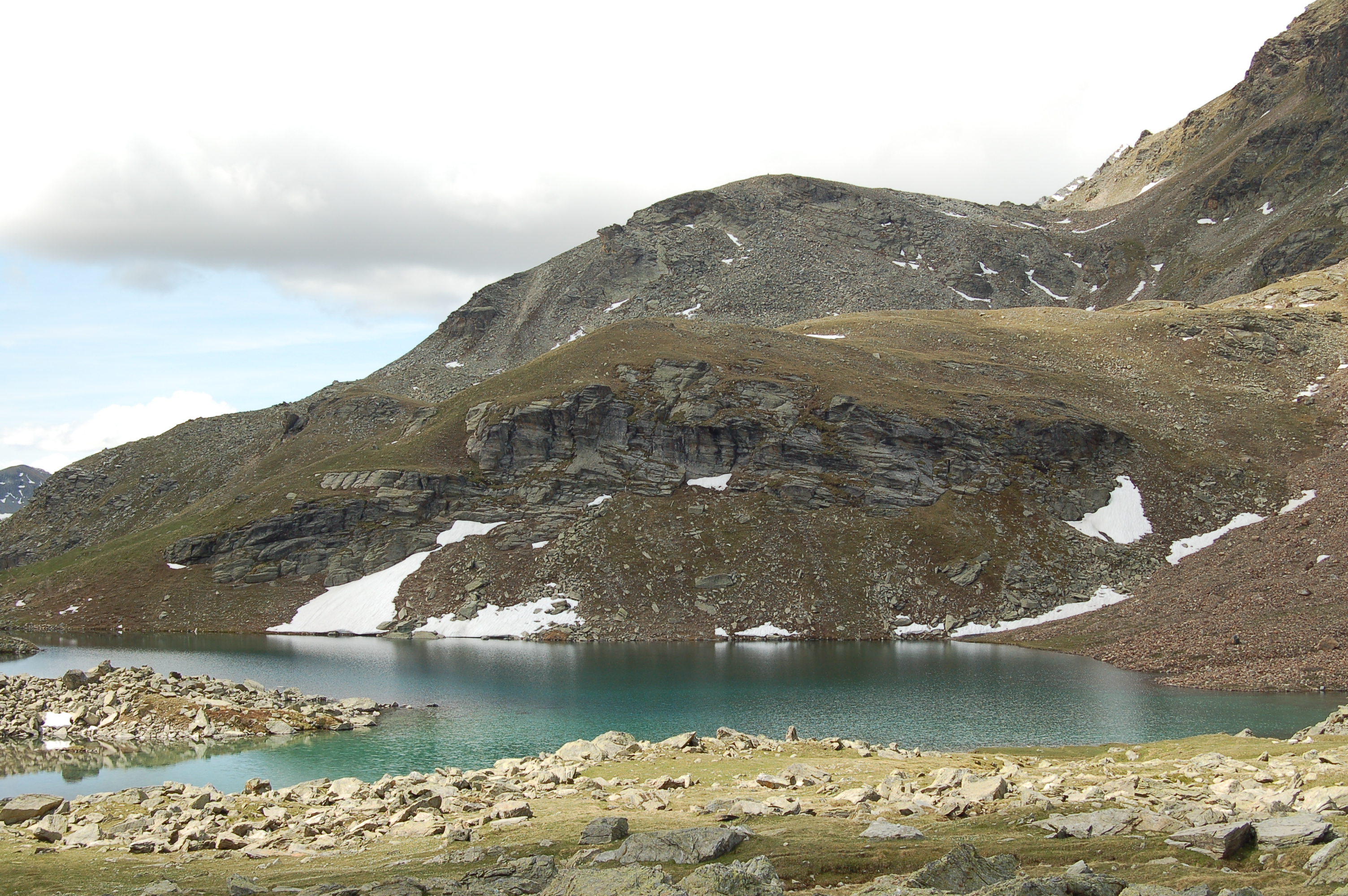
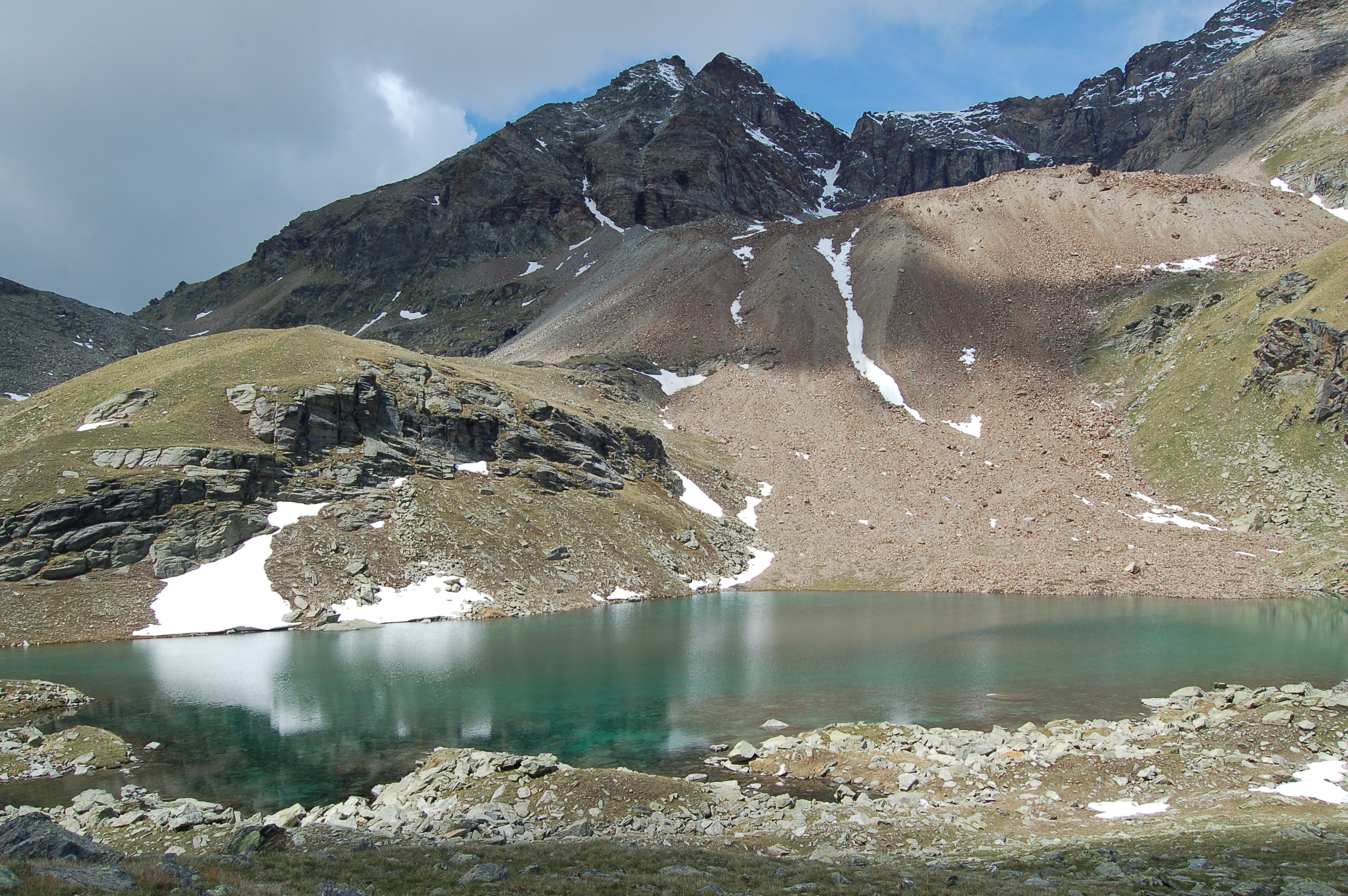
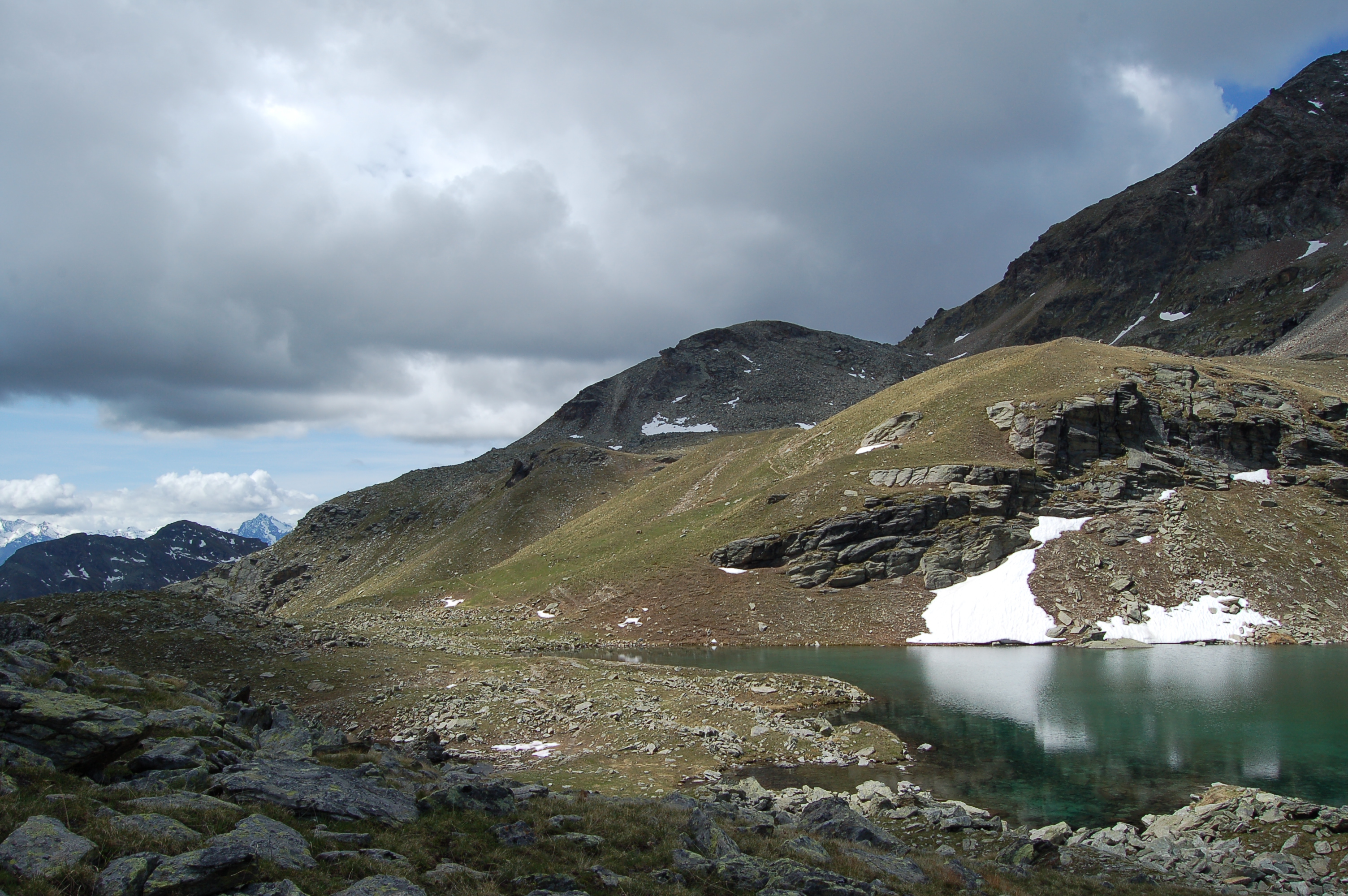
The bivouac is located near Lake Luseney in a very picturesque and little-visited corner of the Aosta Valley. The panoramic view of the imposing Becca di Luseney is worth the long walk alone...
Description
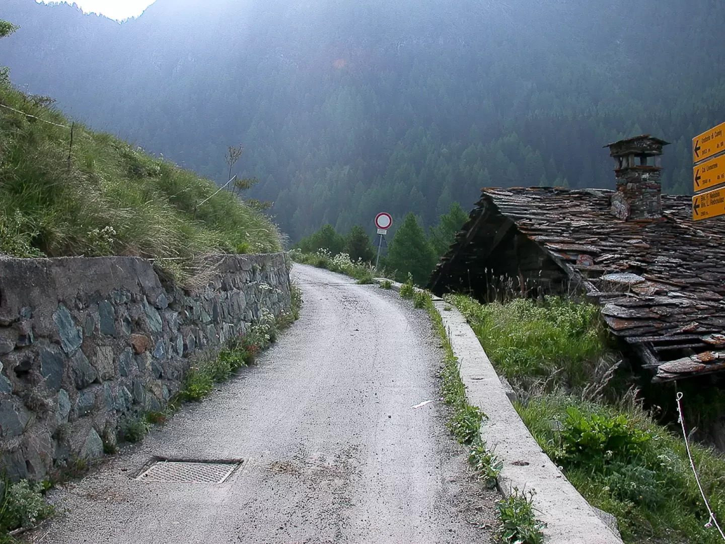
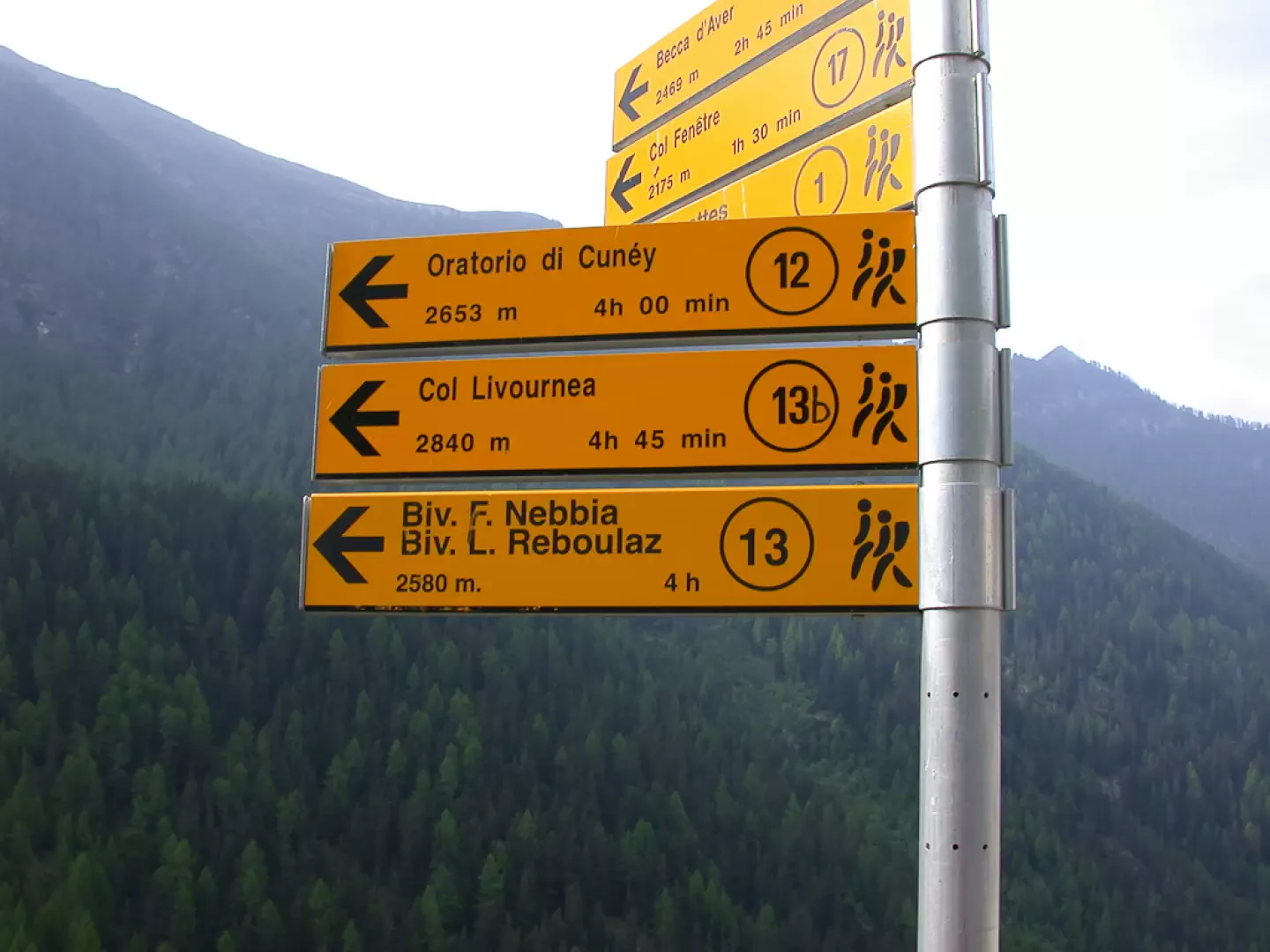
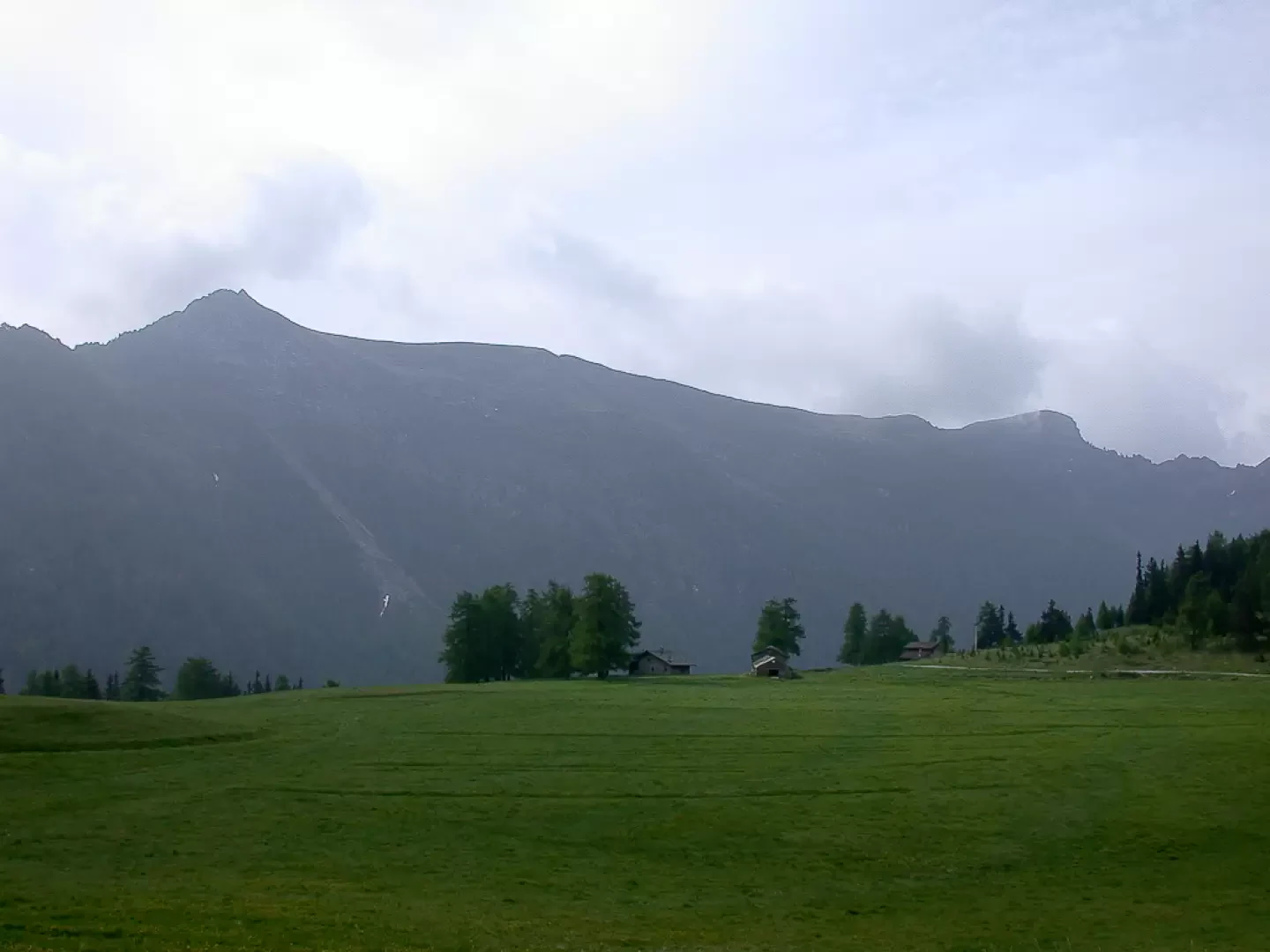
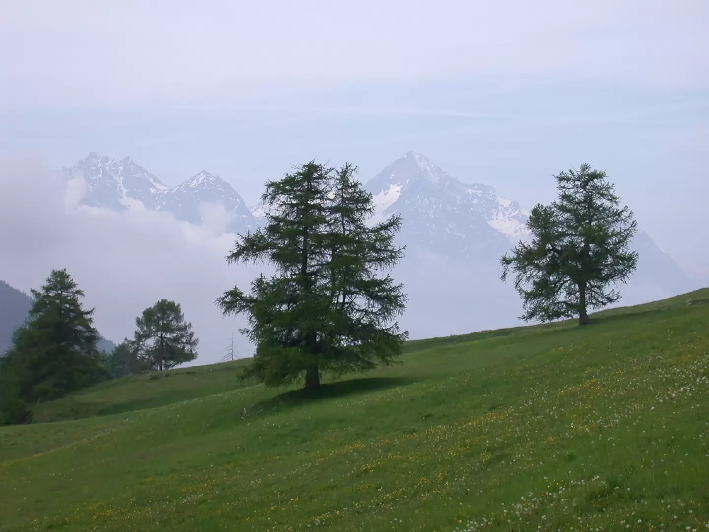
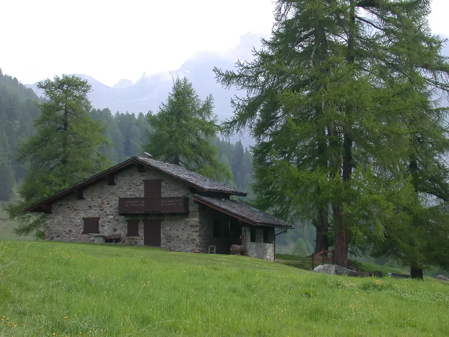
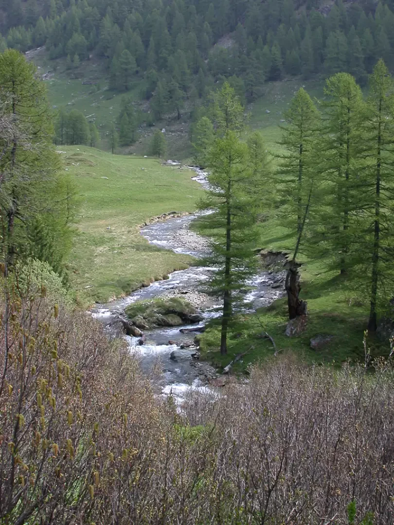
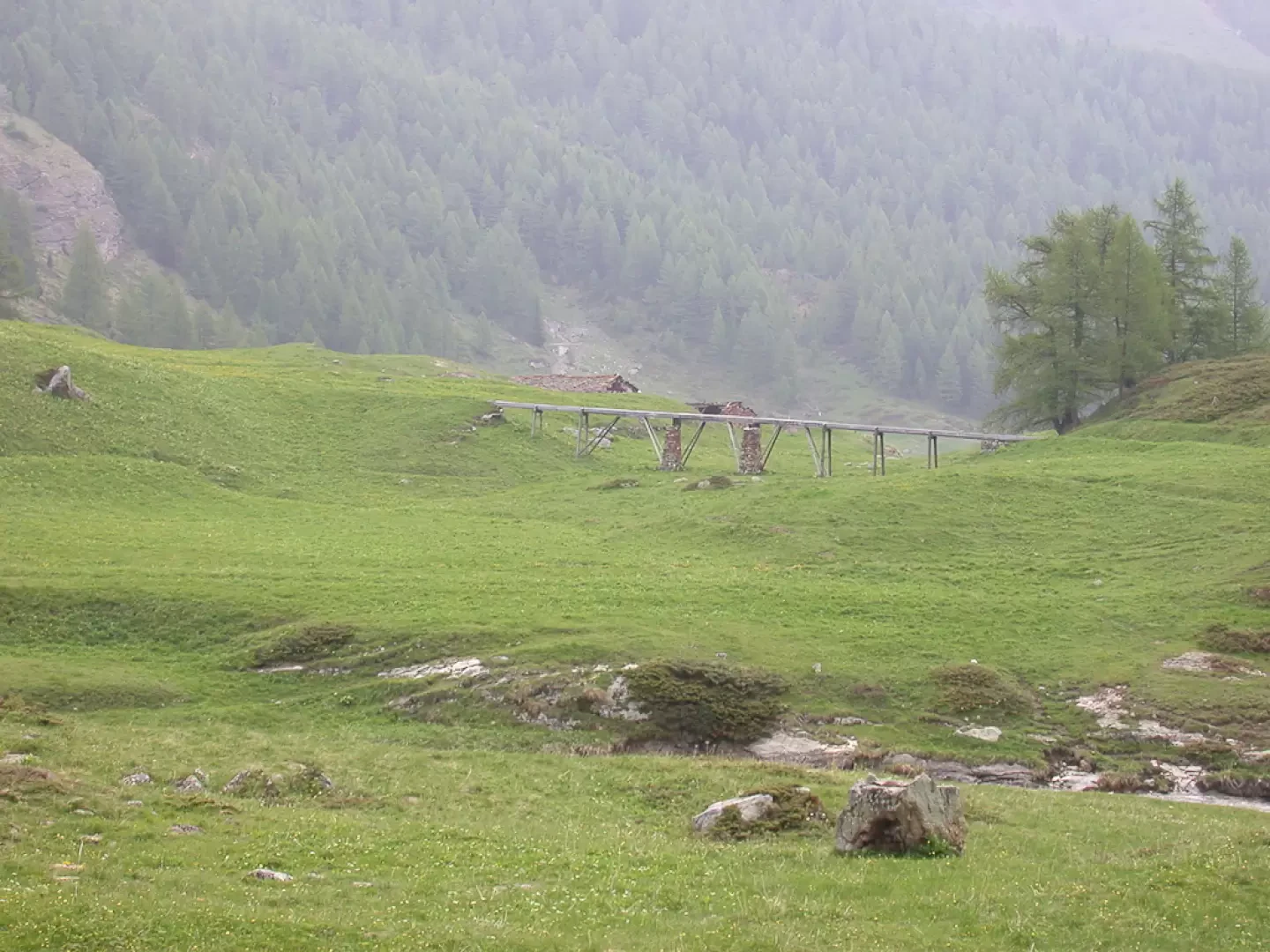
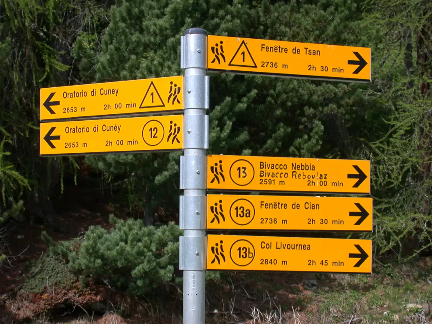
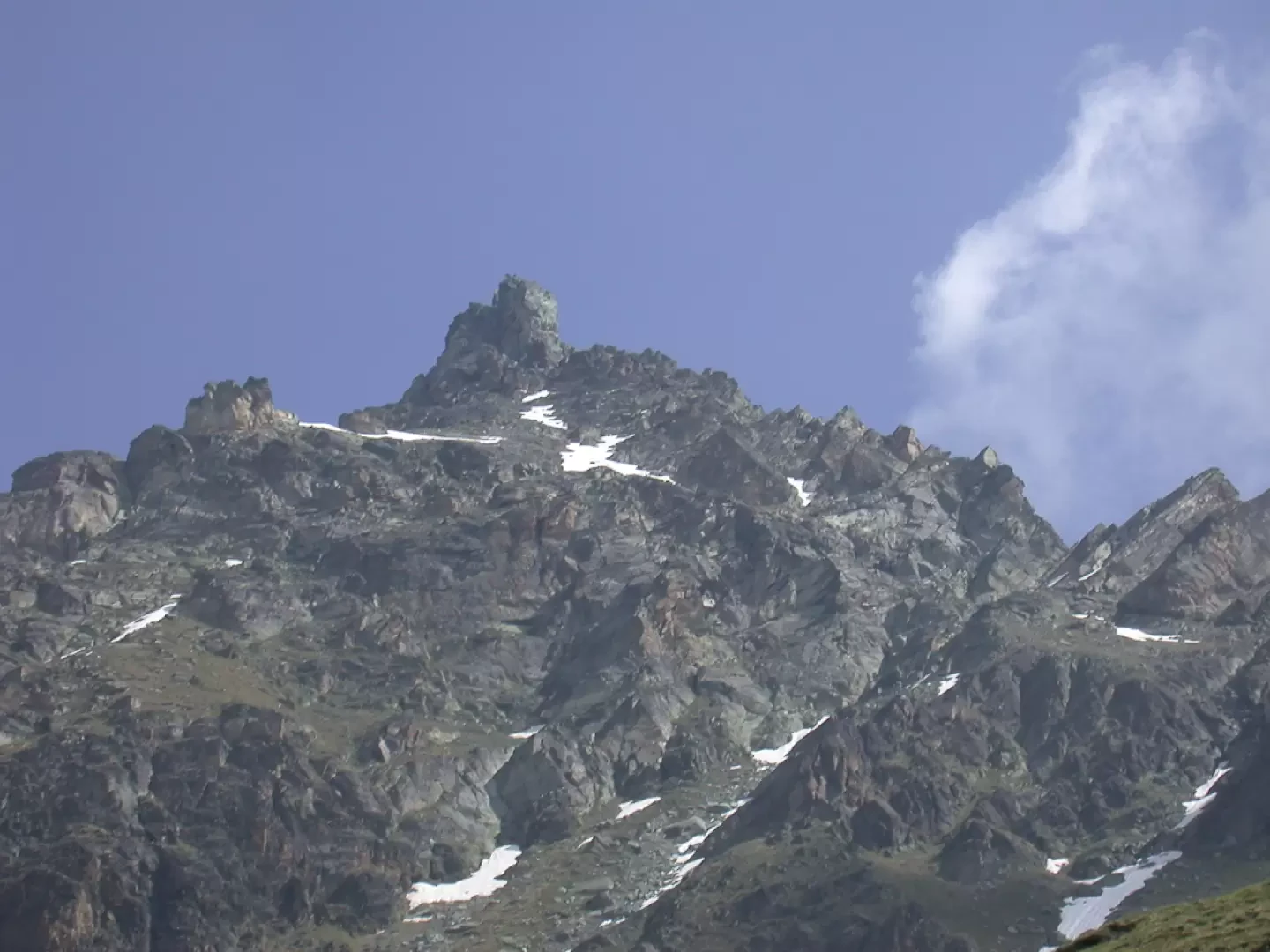
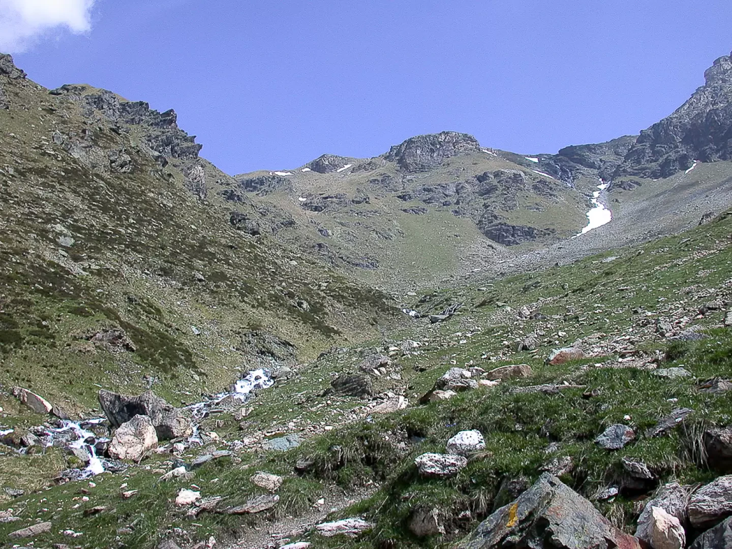
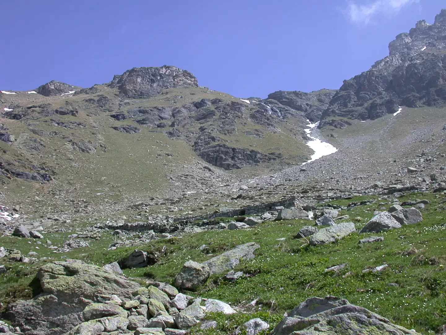
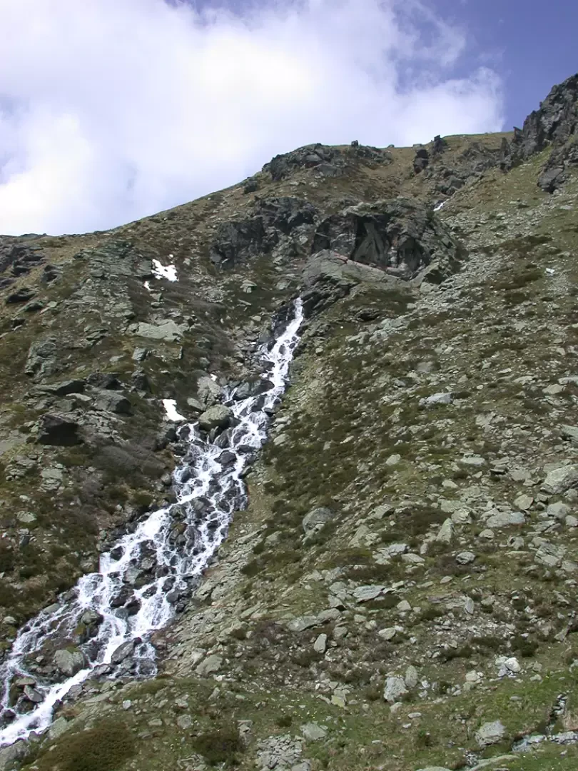
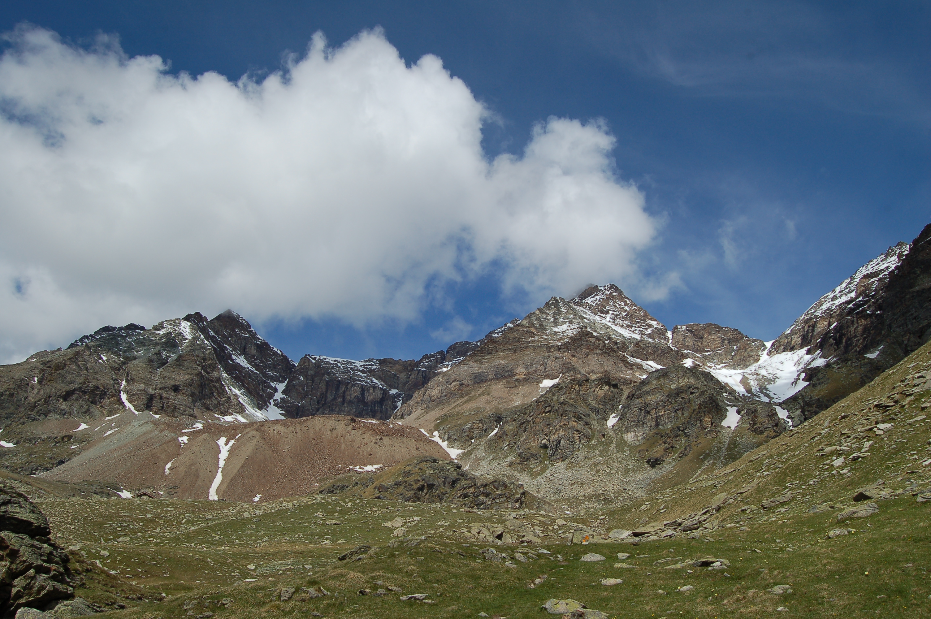
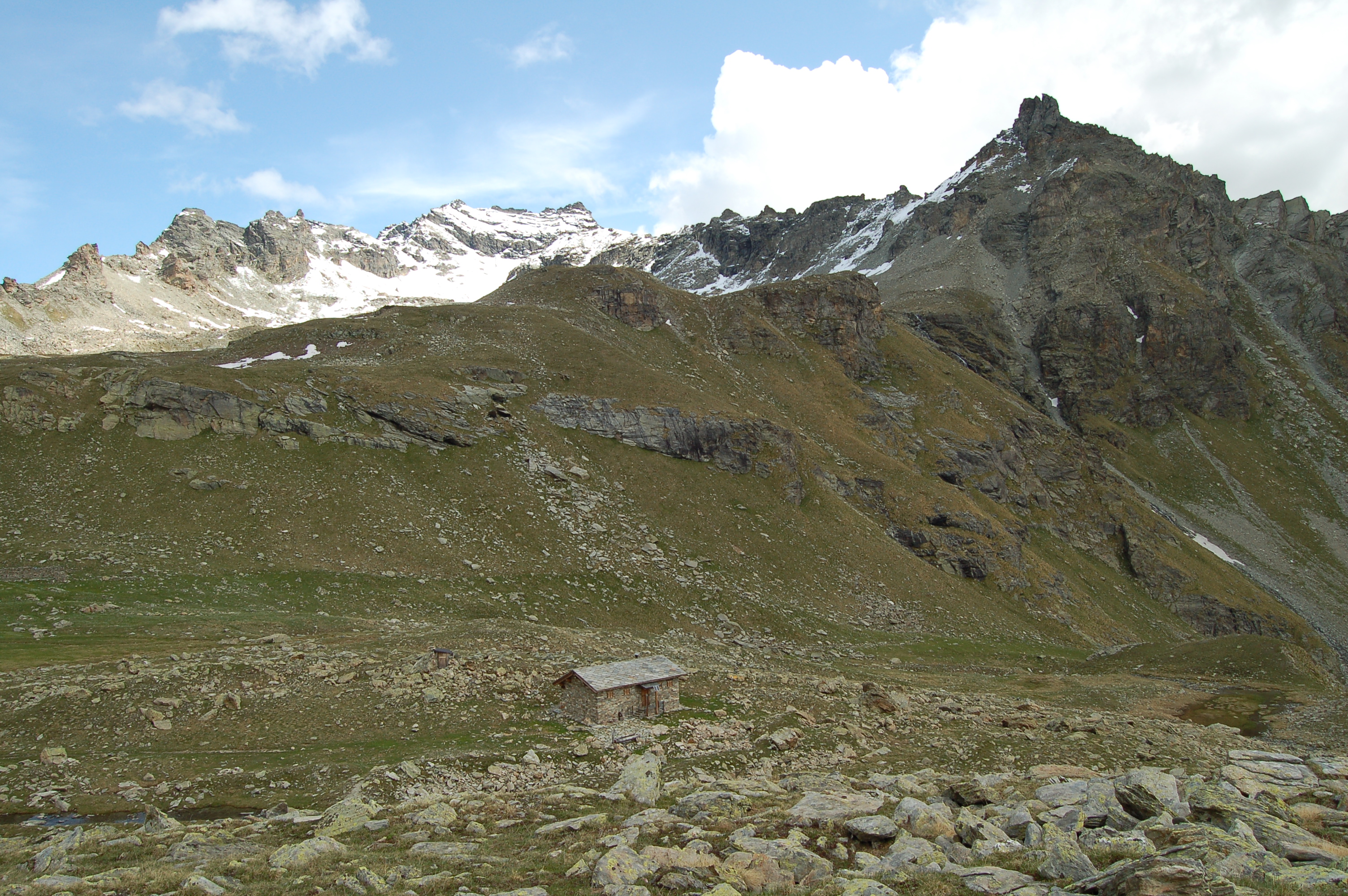
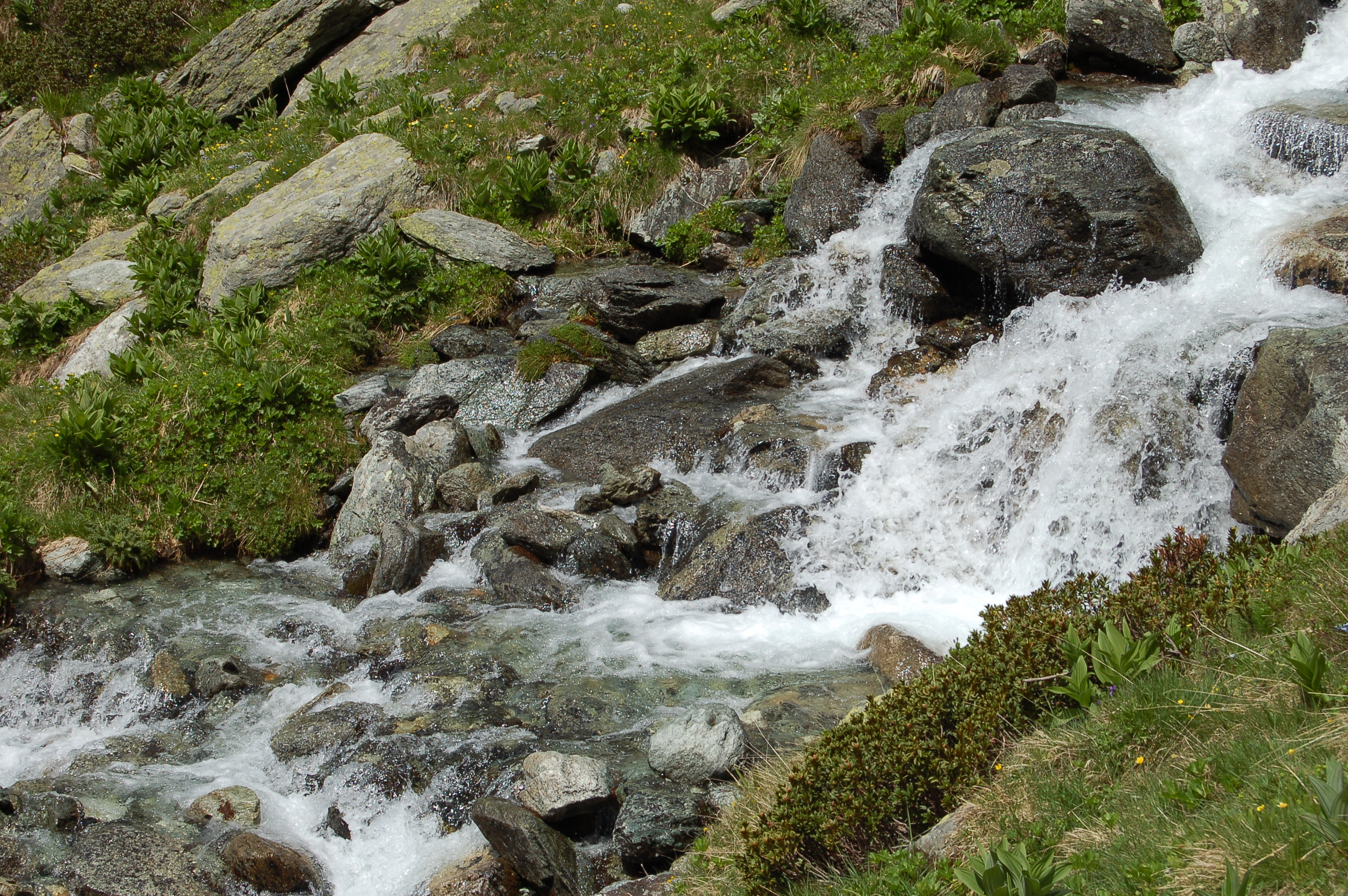
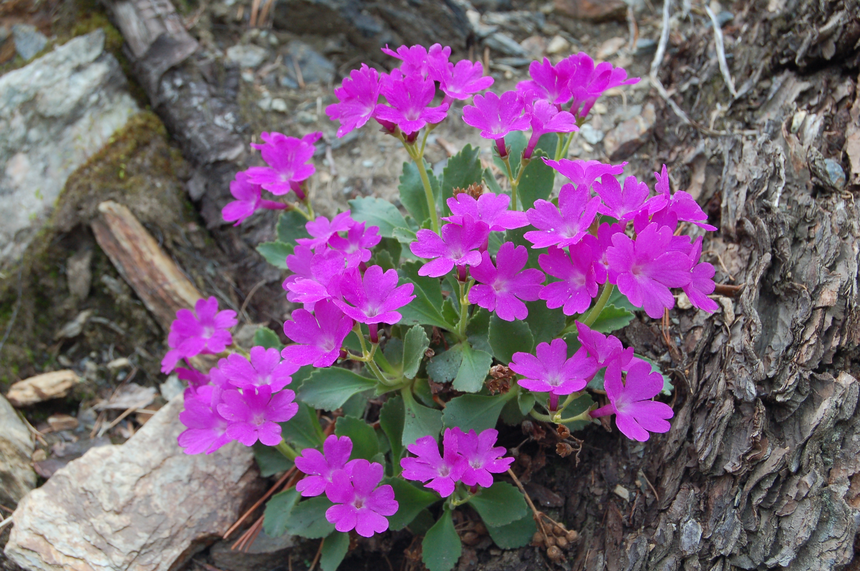
Leaving the car in the hamlet of Praz (1756m), taking care not to get in the way, take a farm road at the end of the village. Initially, continue along this asphalted road that gently enters the valley of Saint-Barthélemy accompanied by the watershed ridges with the valleys of Torgnon. After 10 minutes you reach a first alpine pasture on the right. The route is set in a sparse larch and spruce forest with undergrowth consisting of juniper bushes interspersed with beautiful pastures. After a couple of hairpin bends, the road becomes unpaved (0h15') and quickly reaches a newly built alpine pasture; immediately afterwards it veers towards the valley floor, opening up splendid panoramic views of the Becca d'Aver (2469m), the Cima Longhede (2416m) and the Mont Emilius (3559m); it then flattens out slightly and, skirting a beautiful meadow, reaches the houses of Champcombre (1927m; 0h30'). Here you come to a fork in the road: continue to the right, following the signs for Bivacco Reboulaz and Lake Luseney. Now follow the flat road that enters the upper part of the Saint-Barthélemy valley; cross a beautiful fir forest and, after passing the Vallorsière alpine pastures (below the road), you come to the Champlaisant cliff and, shortly afterwards, the little road on the right that leads to the alpine pastures of the same name (1900m, 0h50'). One begins to catch a glimpse of the picturesque Champlaisant pastures and after a few minutes one also encounters a peculiar aqueduct. Having passed a rudimentary little bridge at the height of the Les Vayoux high pastures, we move to the orographic left of the valley and in a few minutes reach the path leading to the Cunéy Oratory (1h30'). After a few hundred metres, you reach the Praterier alpine pastures (2060m) and leave the comfortable road for the path that begins to climb the final section of the valley. One crosses an initial fairly flat section between a few sparse larch trees (Larix decidua) and then begins to ascend the final section of the valley, culminating in the Becca des Crottes, on its orographic left between pastures and scree. Having passed a scree slope with whitish debris, the trail begins its final ascent; it overlooks a small path on the right and reaches the ruins of the alpine pastures of Les Crottes (2,389m, 2h 30'). Shortly after the alpine pastures, the trail meets the Alta Via 1 route: continue by turning left to climb a knoll above which the bivouac is located. The path follows the outflow of Lake Luseney and, with a series of hairpin bends, climbs about 200 m in altitude. At the end of the ascent, you cross a plateau and finally reach the Luca Reboulaz bivouac (2574m, 3h00'). From the bivouac, you can enjoy a privileged panoramic view of the Becca di Luseney or appreciate its reflection in the clear waters of the lake of the same name. The return trip follows the same route as the outward journey.
Poco dopo Praz il sentiero è segnalato interrotto, e si consiglia di proseguire sulla carrareccia; la strada si allunga così a dismisura, e il rientro risulta infinito. Non abbiamo visto dove (e se) il sentiero è interrotto "per lavori".
Giornata caratterizzata dalla variabilità del tempo. Soleggiato alla partenza, nuvole nere minacciose al bivacco.
Il bivio dopo le case di Champcombre non è segnalato. Su una pietra si trova un segnavia 14 che indica di andare sia a sinistra che a destra. Occorre svoltare a destra sulla strada pianeggiante.


Comments (0)
Sign in to leave a comment