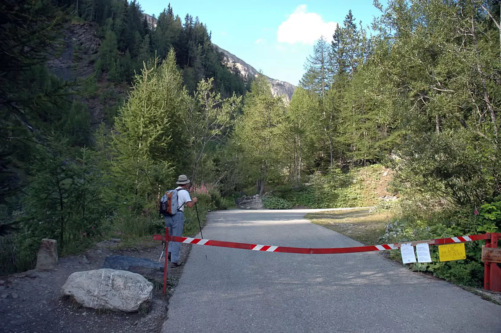
From the Courmayeur A5 motorway exit, enter the tourist centre. Just beyond the conference centre turn left towards Val Veny (signposted on site) until you reach La Visaille (1659 m). Park near the barrier that prohibits unauthorised vehicles.
.
Introduction
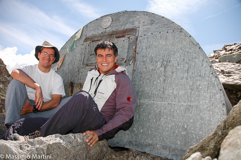
Situated on a rocky knoll near the Col de l'Echellettes, the bivouac remains perched like a real eagle's nest. Built in 1925 and dedicated to the creator of this type of bivouac, Adolfo Hess, it remains an interesting historical example of how people approached the mountains eighty years ago!
Description
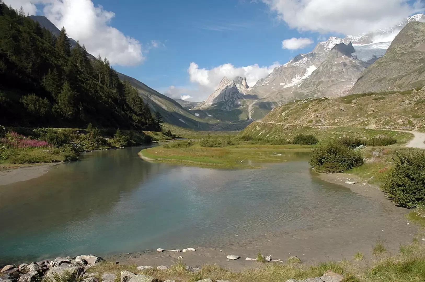
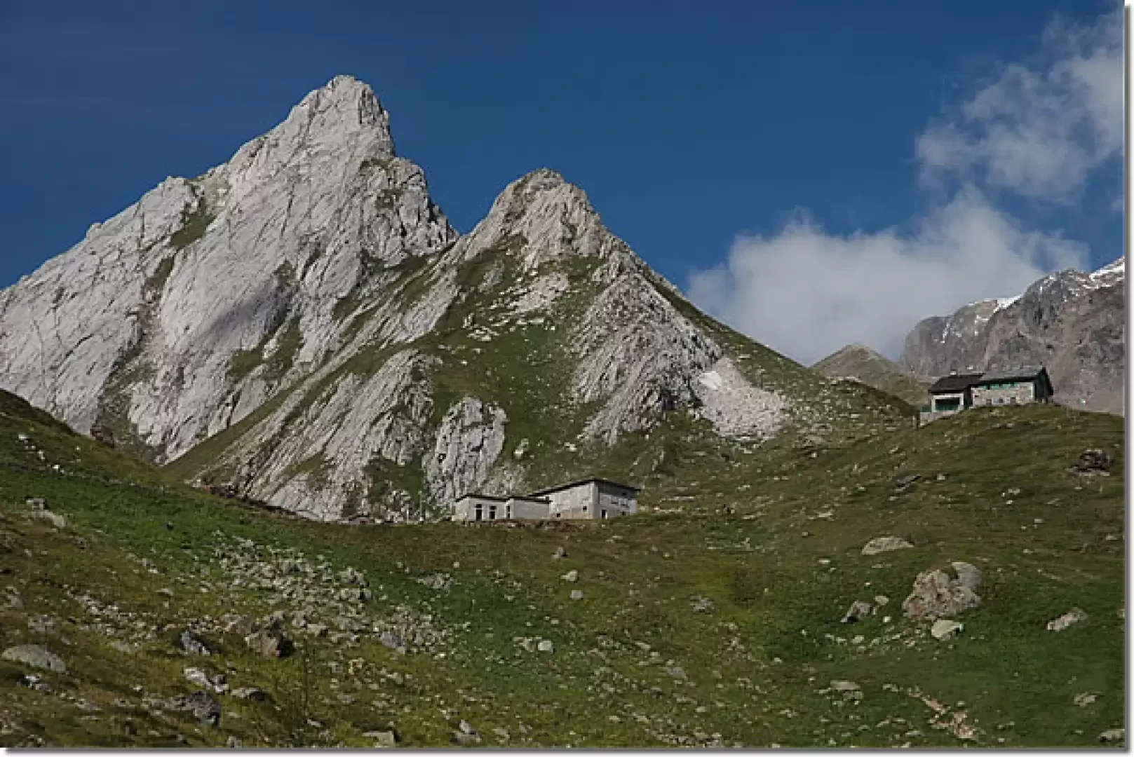
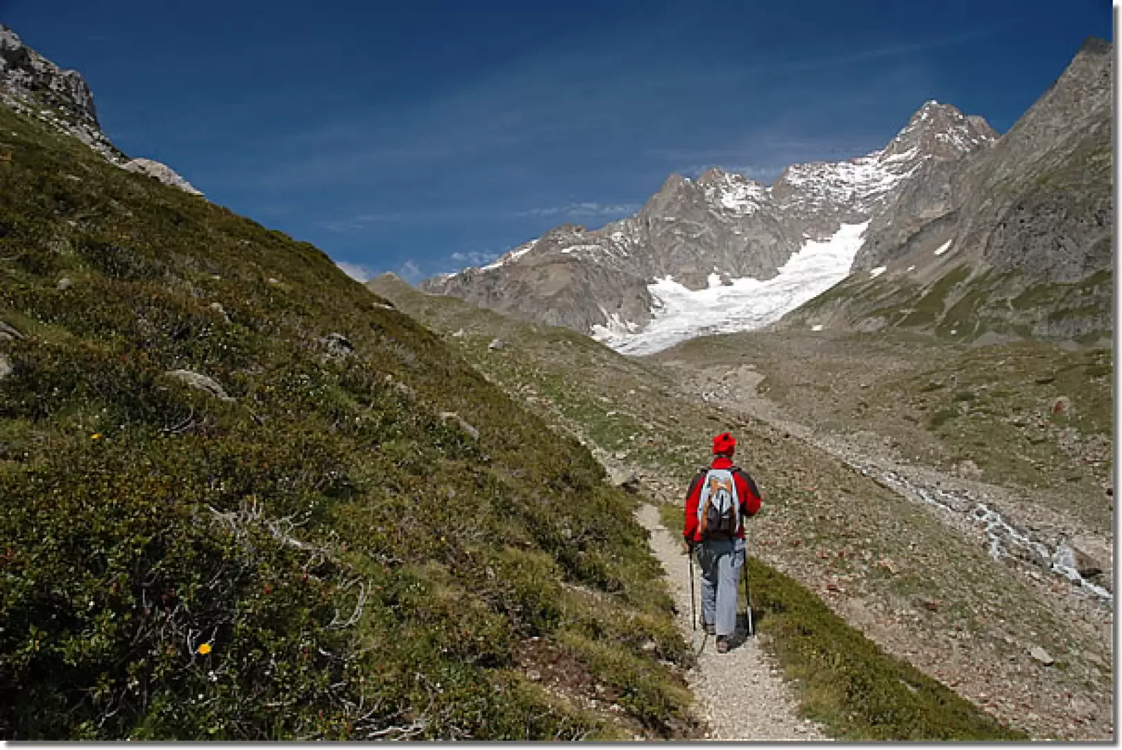
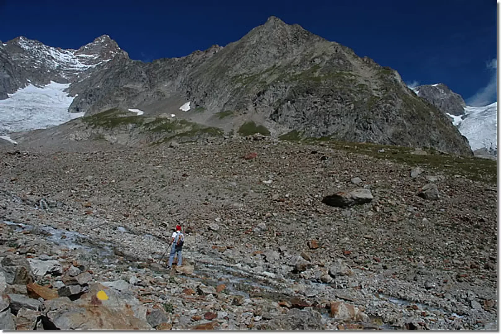
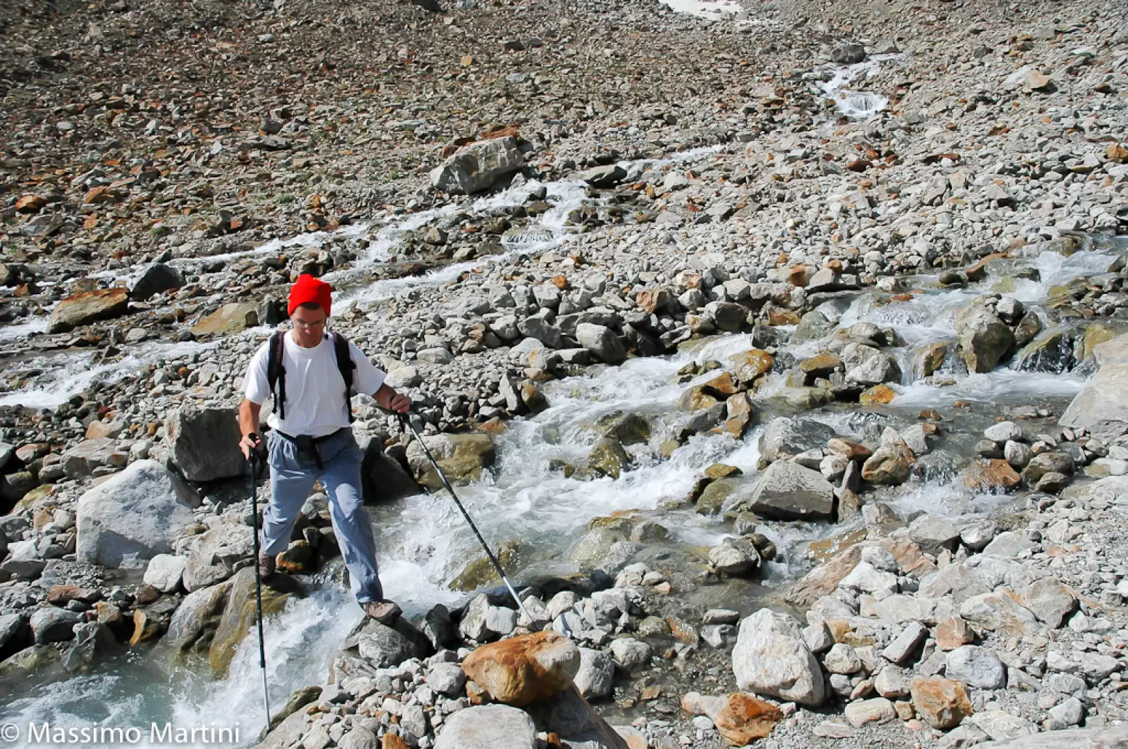
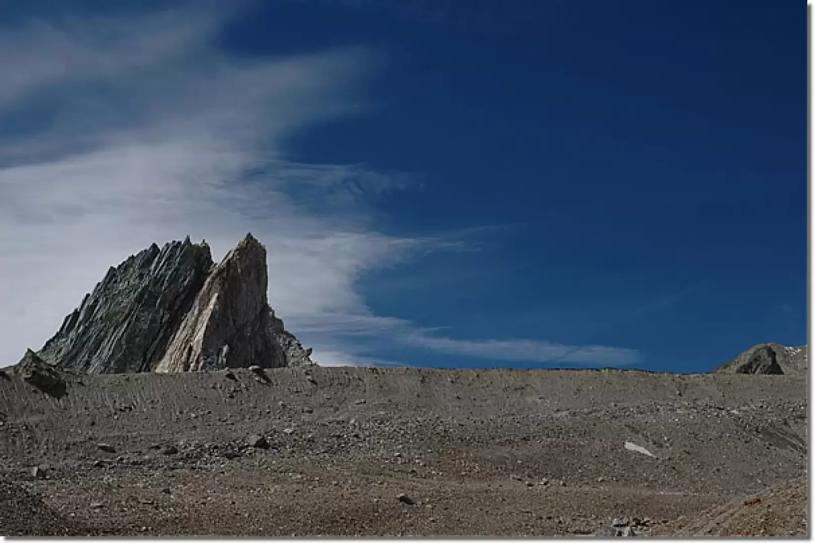
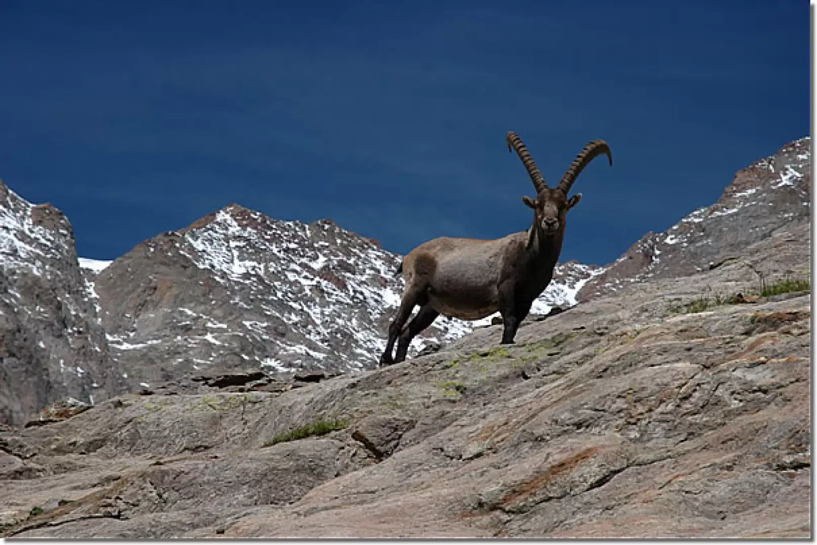
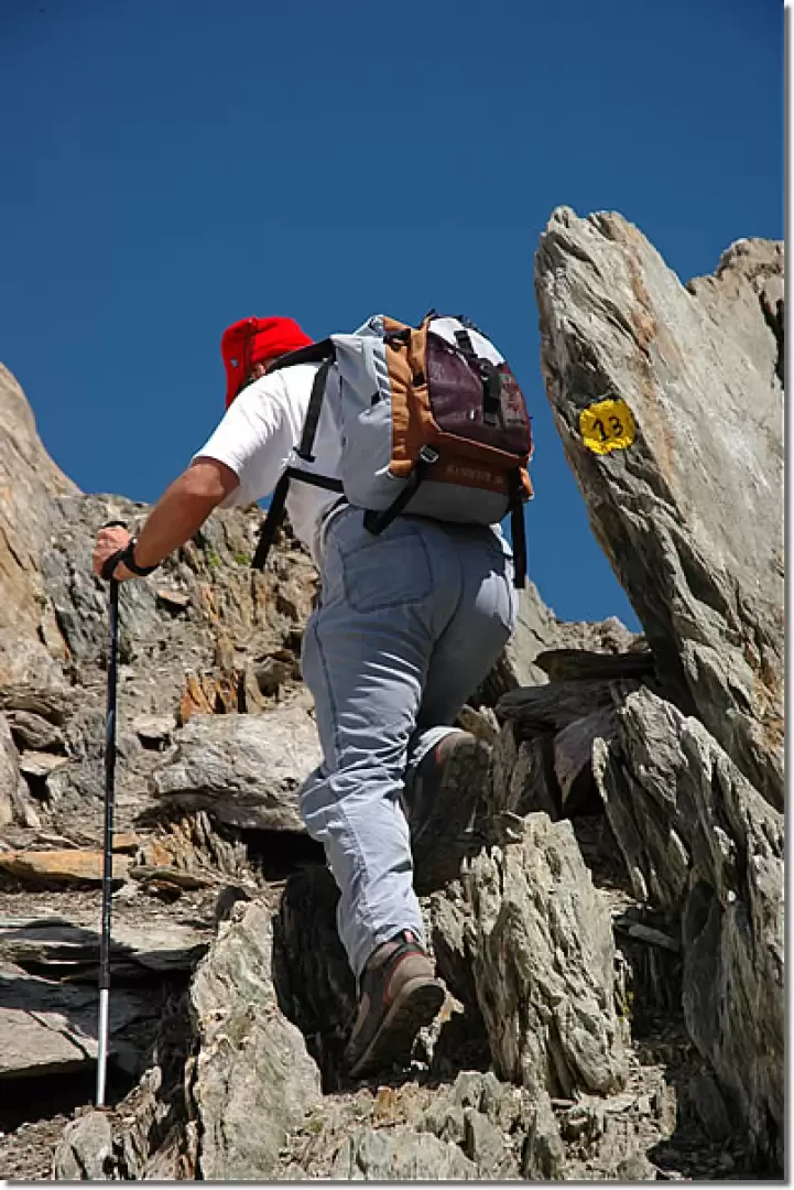
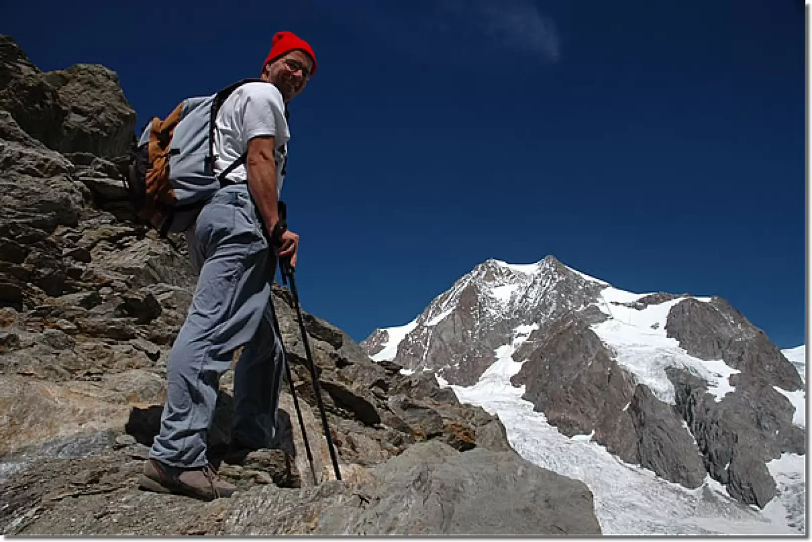
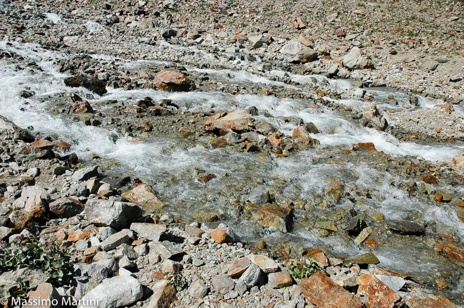
Leaving the car behind, we set off past the bar that effectively closes the road and proceed along it, passing a couple of hairpin bends (there are shortcuts that cut across them). Slowly gain height by following the road that skirts the Doire du Val Veny; after a short while, on the left, there is a white rocky band of limestone origin and shortly afterwards the road makes a small bend to overcome a landslide. Continue along the little road and soon reach the junction for Lake Miage (1959m, 0h45'): turn left, cross the stream on a bridge, and continue on a dirt road heading west along Lake Combal; the route is almost flat, skirting a pleasant environment dominated by the imposing peaks of the Mont Blanc massif. At the end of the long straight stretch, the little road begins to climb the morainic step that separates the Combal basin from the upper Val Veny. The road follows a number of hairpin bends (shortcuts are present), which soon lead to the Caserme de la Seigne and then to the Elisabetta Soldini hut (2195m, 1h 30'). From the hut, continue along path 13 (note that the sign does not indicate the correct path, it is better to take the path from the back of the hut) up the morainic amphitheatre of the Echellettes glacier. We proceed gaining altitude with a series of bends up the grassy moraine: slowly the view of the glacier and the not far away Pyramides Calcaires opens up before us until we reach the fork for the bivouac (2297m, 2h00'). We turn right, descending slightly towards the stream bed until we find the best position to ford the stream: just before we meet the remains of an aircraft cart that crashed on the glacier in the 1950s. Having crossed the stream, fording which can become problematic during hot weather when the ice melts more, we climb up a small morainic ridge and then reach the grassy slopes that descend from the Aiguille des Echellettes; we then proceed up the grassy ridges with a series of long turns, letting ourselves be lulled by the interesting panoramic views of the moraines, les Pyramides Calcaires and the glacier des Echellettes. Slowly, the grassy ridge is replaced by boulder fields and the typical high-mountain environment: it is not unlikely to encounter ibex grazing in the sparse vegetation that remains. We pass a small terrace, with some snowfields present at the beginning of the season, and reach the base of the narrow gully that leads to the col: the ascent of the gully takes place on friable terrain, moving stones, but nevertheless well signposted by yellow markers. The further up the gully, the steeper and narrower it becomes, until we reach the final notch from which there is a beautiful panorama of the Lex Blanche glacier and the not far away Aiguilles de Trélatête. From the col (2926m, 3h50'), turn left and cross a few slightly uncomfortable passes that give onto the uphill slope; then, still following the yellow bolts, you will soon reach the Hess bivouac (2958m, 4h00'). The view from the bivouac is magnificent: being suspended like a nest of water over the glacier of the Lex Blanche below, the view of the Aiguilles de Trélatête, the Petit Mont Blanc and Mont Blanc amply repays the effort made during the ascent. The descent follows the same route as the ascent (2h30').
General information
Path:from La Visaille Signposts:13 Type of route: a/r Recommended period: July, August, September Objective hazard gully towards the Col de l'Echellettes: the scree makes the ground unstable Sun exposure: southeast Exposed sections:from the Col de l'Echelettes to the bivouac Water:Elizabeth Soldini hut


Comments (0)
Sign in to leave a comment