Leave the motorway and, after 450m, leave the motorway junction, turning right onto the regional road for the Cogne valley. After 400m at the roundabout, take the second exit onto the state road to be followed for 32.4 kilometres, passing through and skirting the villages of Saint-Pierre, Villeneuve, Arvier, Avise, Derby, La Salle, Morgex and Courmayeur until reaching the exit for Larzey - Entrèves. Turn right and take the communal road for 12.5 kilometres, passing La Palud, Planpincieux and Lavachey before reaching the end of the road near Arp Nouva: cross the Dora di Ferret on a small wooden bridge before reaching the car park 🅿️ at the end of the wooded scrub.
Please note that access is regulated during the summer period: normally in July and August access is permitted before 8.00am until the available car parks are full. After this time, a shuttle service is available from La Palud. For any additional information, please consult the special section of the Courmayeur municipality website.
[0h57'] - [45.8km] How to get there with GMaps How to get there with Apple Maps
The directions given here were verified at the time of the route survey. Before setting off, it is advisable to ensure that no substantial changes have occurred on the route to the starting point. We therefore recommend the use of the satellite navigation apps provided by Google or Apple for up-to-date and detailed directions.
Introduction
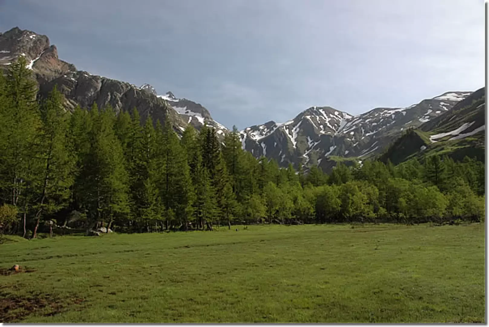
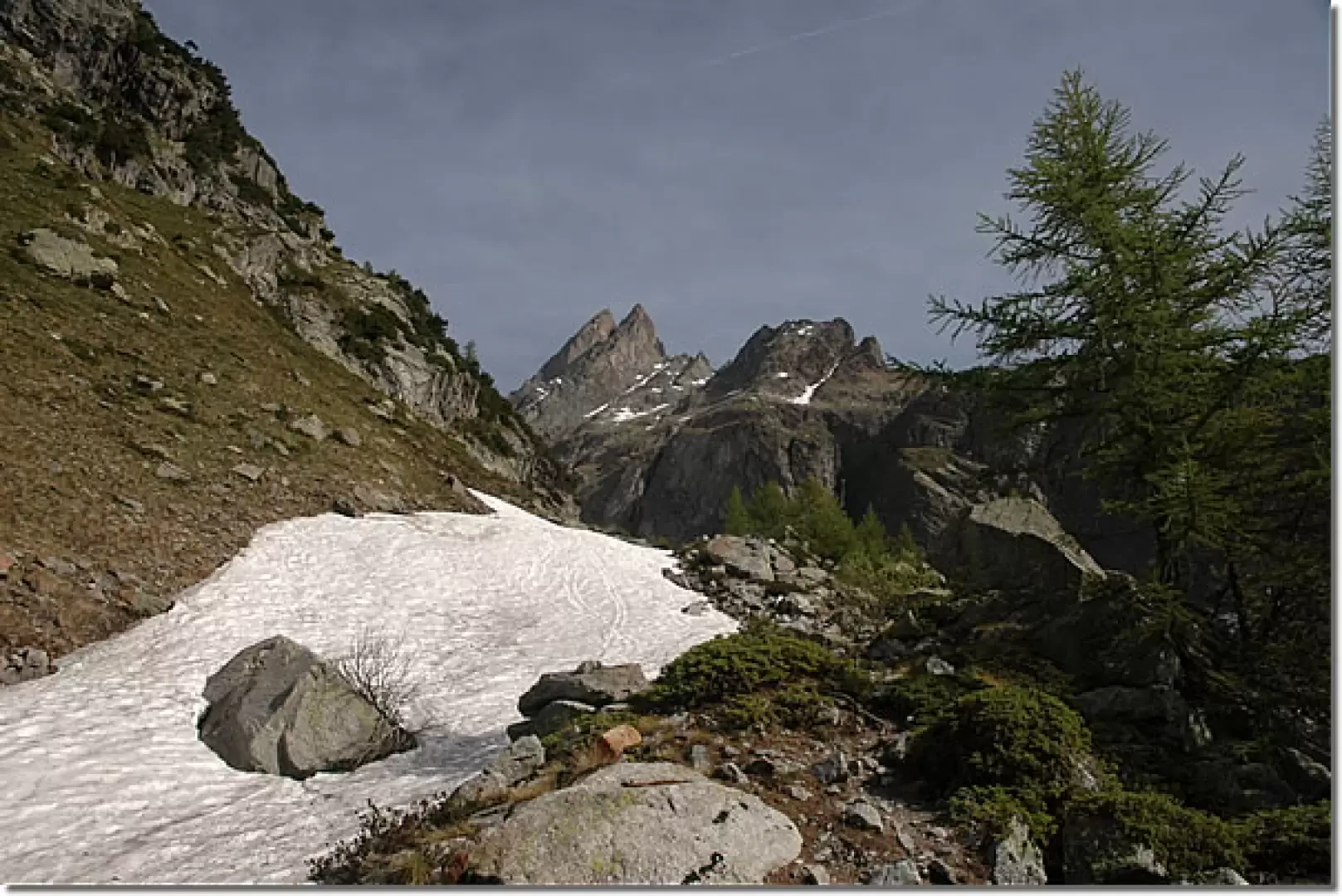
This trip allows you to discover an often wrongly neglected side of the Mont Blanc Massif and takes place on the slopes of Mont Greuvetta. For those unfamiliar with rock, it is an opportunity to try their hand at gripping the good granite of Mont Blanc!
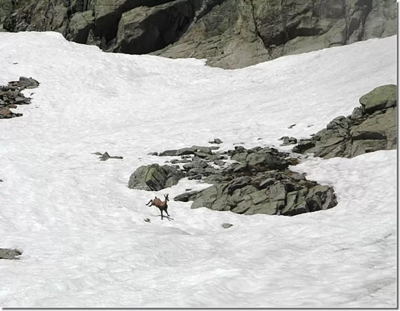
Be careful on the moraine as it is quite treacherous and slippery. Don't forget that if the day is very hot, personal experience, the thaw is very abundant and the two small bridges over the Dora, at the end of the hike, can be surrounded by swirling water, forcing an unplanned and perhaps even unwanted half-climb!
Description
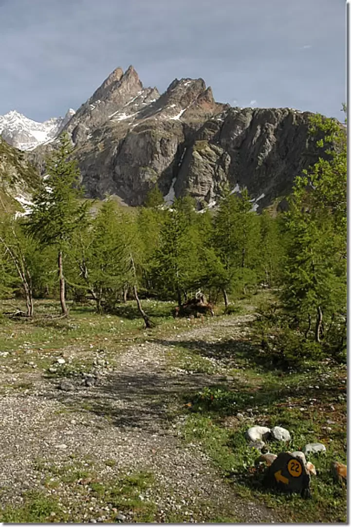
Park at Arnouva (1769m) just before the Val Ferret shuttle bus terminus (if the Val Ferret road is closed to traffic, you can reach Arnouva by shuttle bus). Leave the car and immediately cross a small wooden bridge over the stream coming from the Vallon de Bellecombe. Proceed along a practically level farm road. After a few minutes, you will come across a signpost indicating the direction to take. Proceed for a short stretch on level ground until reaching the junction for the Comino bivouac (1785m, 0h10'): turn left and follow path
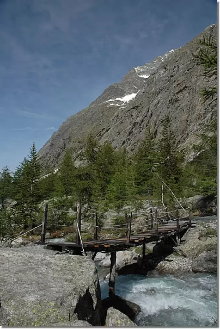
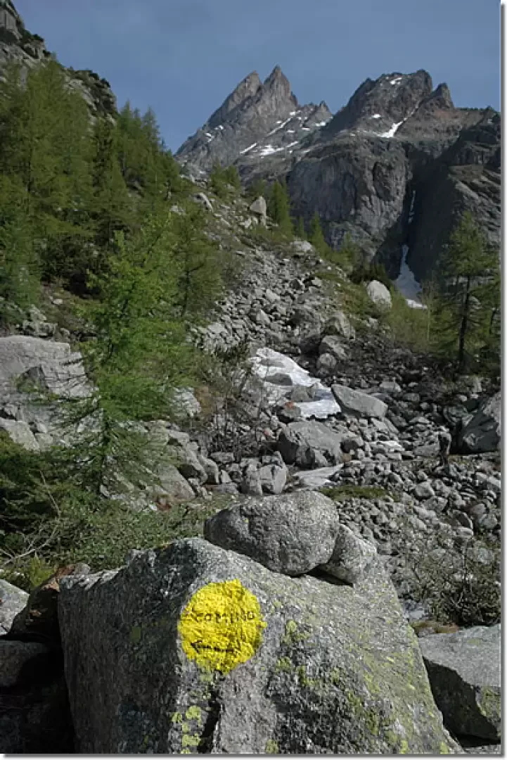
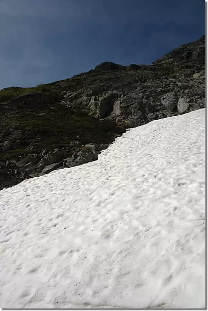
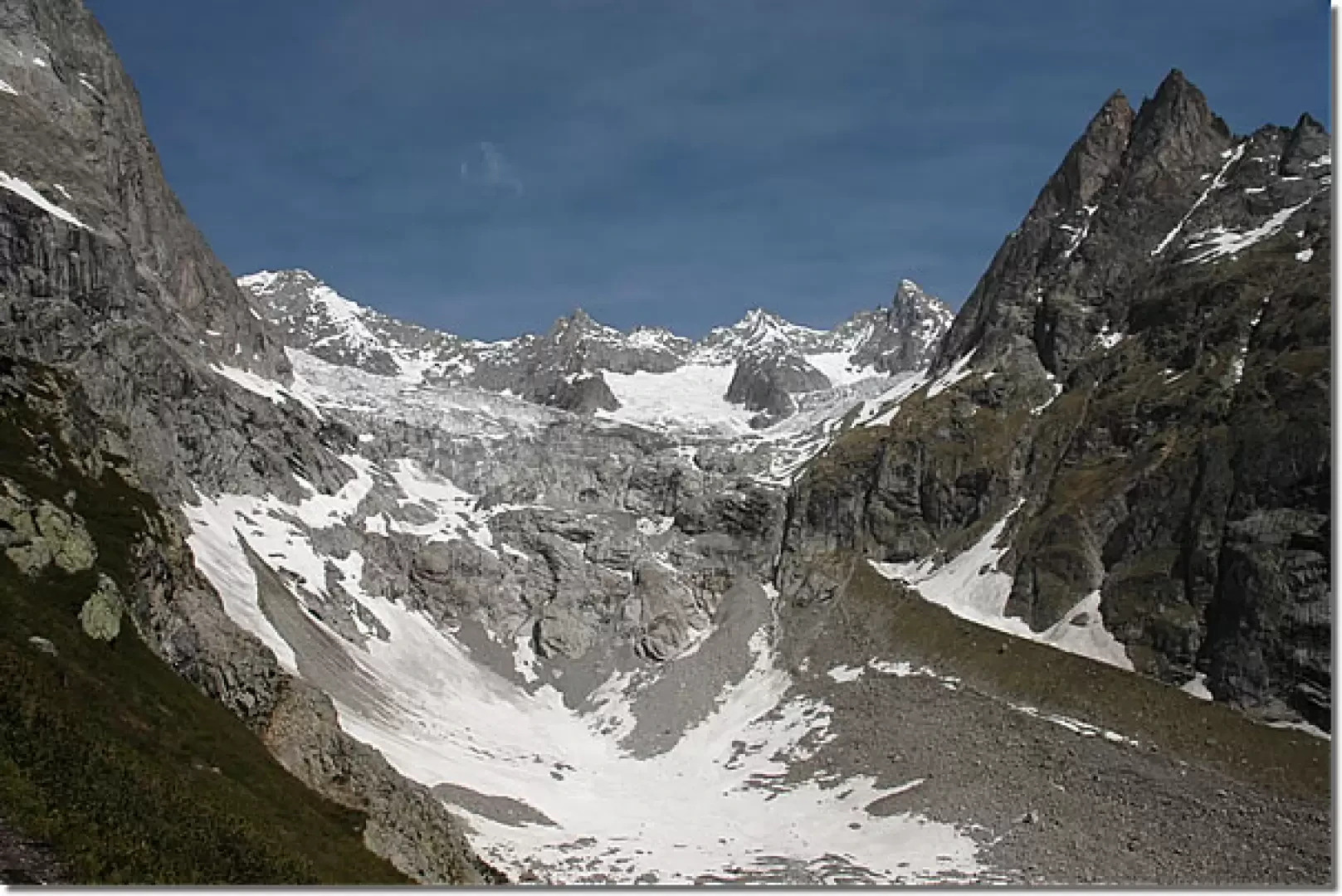
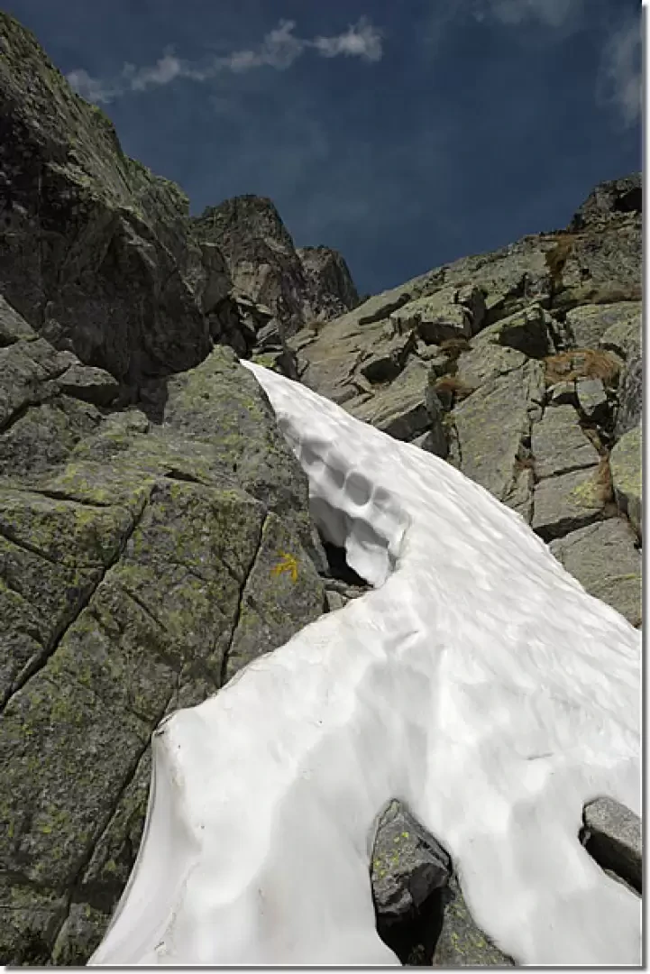
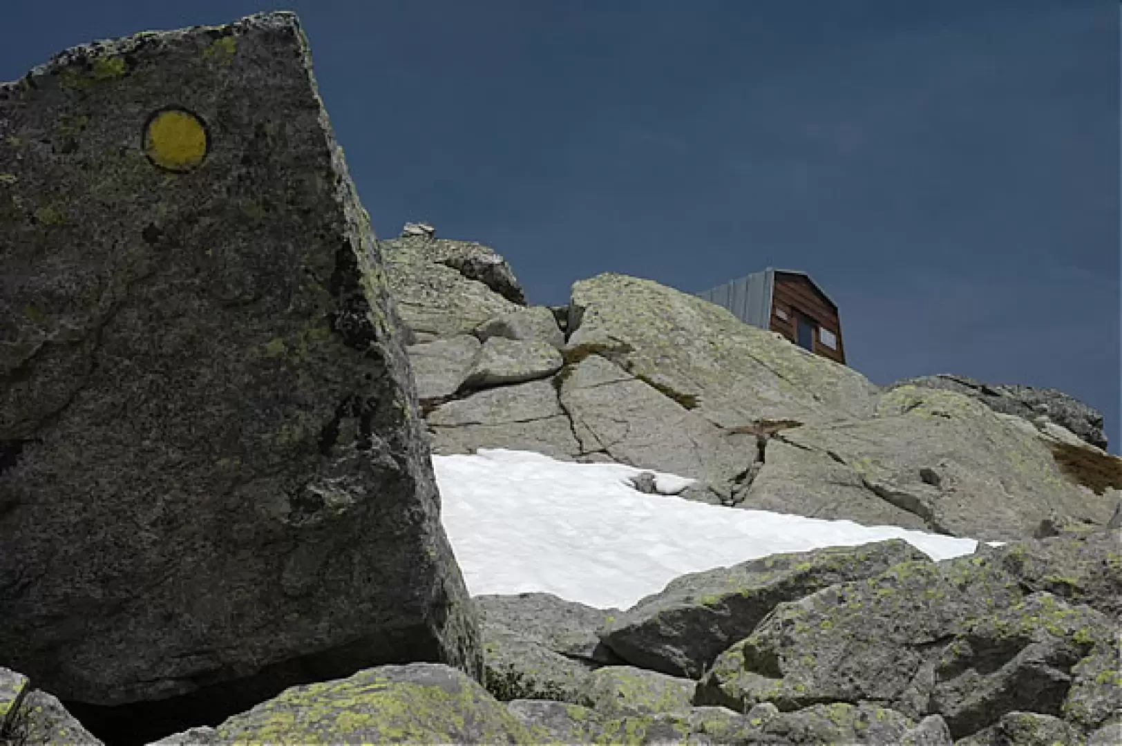
that crosses the central part of the valley before crossing the Dora di Ferret and some of its branches on three almost consecutive wooden footbridges. The path skirts the Dora for a short time, then heads towards a rocky rampart and begins to climb decisively along the moraine that descends from the Triolet glacier. Pay attention to the markers and cairns, as the route is not always very clear. At a small valley that is snow-covered until late in the season, climb up the short snowy slope until you reach a turn (!) to the left, with broad arrows on the rocks. You leave the moraine and climb up on slabs of very solid granite, on which you can experience the grip of this rock on the soles of your shoes and hands... The slabs alternate with rhododendron bushes and the landscape becomes increasingly open and panoramic. One last steep stretch, where you need to use your hands, never more than a first degree however, alternating with small terraces, and you finally reach the beautiful Comino bivouac, which only appears in the last few metres of the ascent. The view sweeps over the whole of Val Ferret; from here the hiker does not continue, in fact there are only alpine routes and you can enjoy a very severe, alpine environment. Despite the fact that the guidebooks indicate water in the vicinity of the bivouac, my advice is to take it with you, because some of the vicinity is 'not very close' and hidden amongst rocks and scree that can put your ankles and legs at risk... on a sunny day it is easy to suffer from thirst, also because the granite gets incredibly hot, making the descent fiery.
Escursione solitaria al Bivacco Comino. Ho percorso il sentiero 22, unico sentiero escursionistico di accesso al bivacco, partendo da Arnouva. L'itinerario è abbastanza complesso reso un po' più impegnativo dai nevai residui. Ambiente unico!
Informazioni generali
Condizioni via o sentiero: innevato a tratti Pericolo Oggettivo: attenzione ai tratti di roccia umida


Comments (0)
Sign in to leave a comment