Bivouac Chentre-Bionaz, from La Ferrère
Introduction
Description
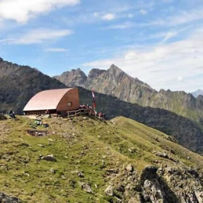
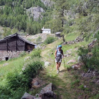
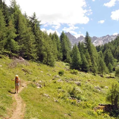
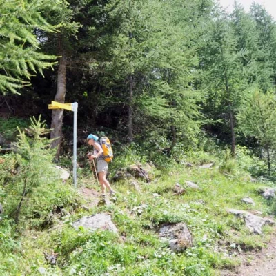
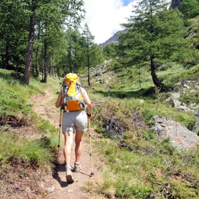
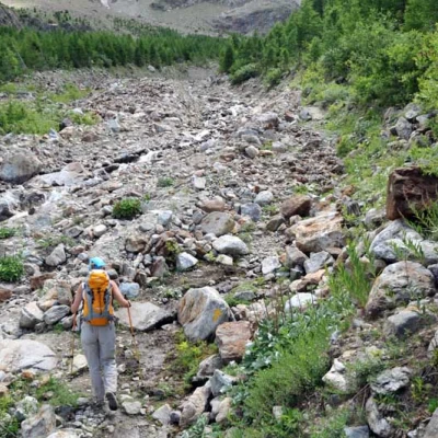
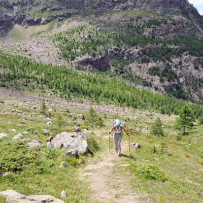
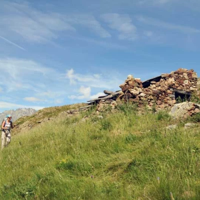
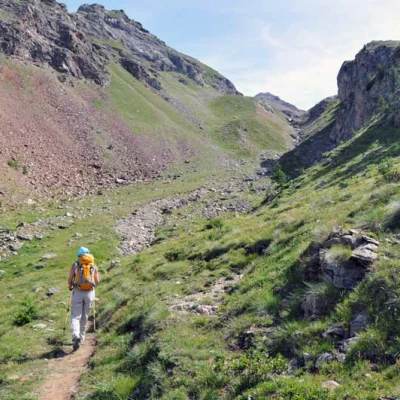
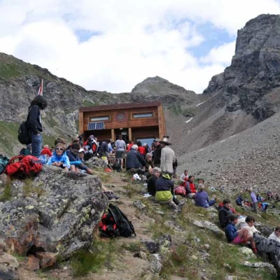
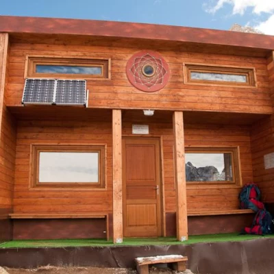
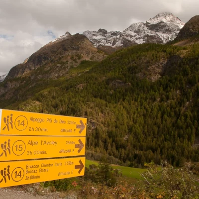
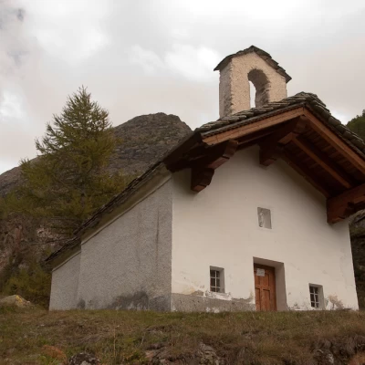
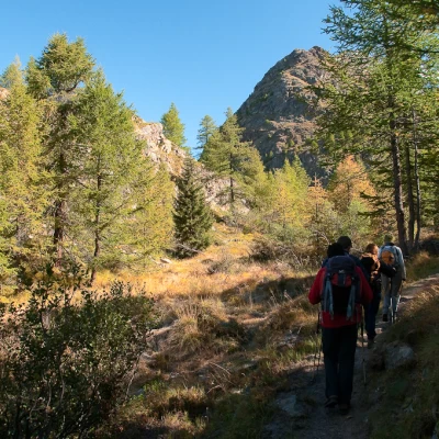
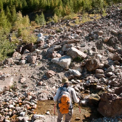
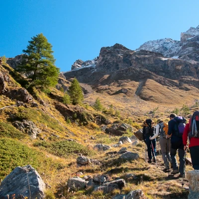
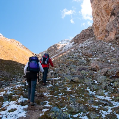
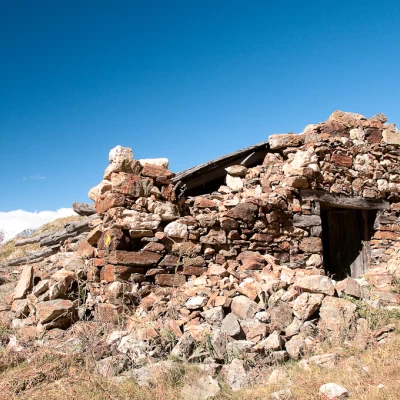
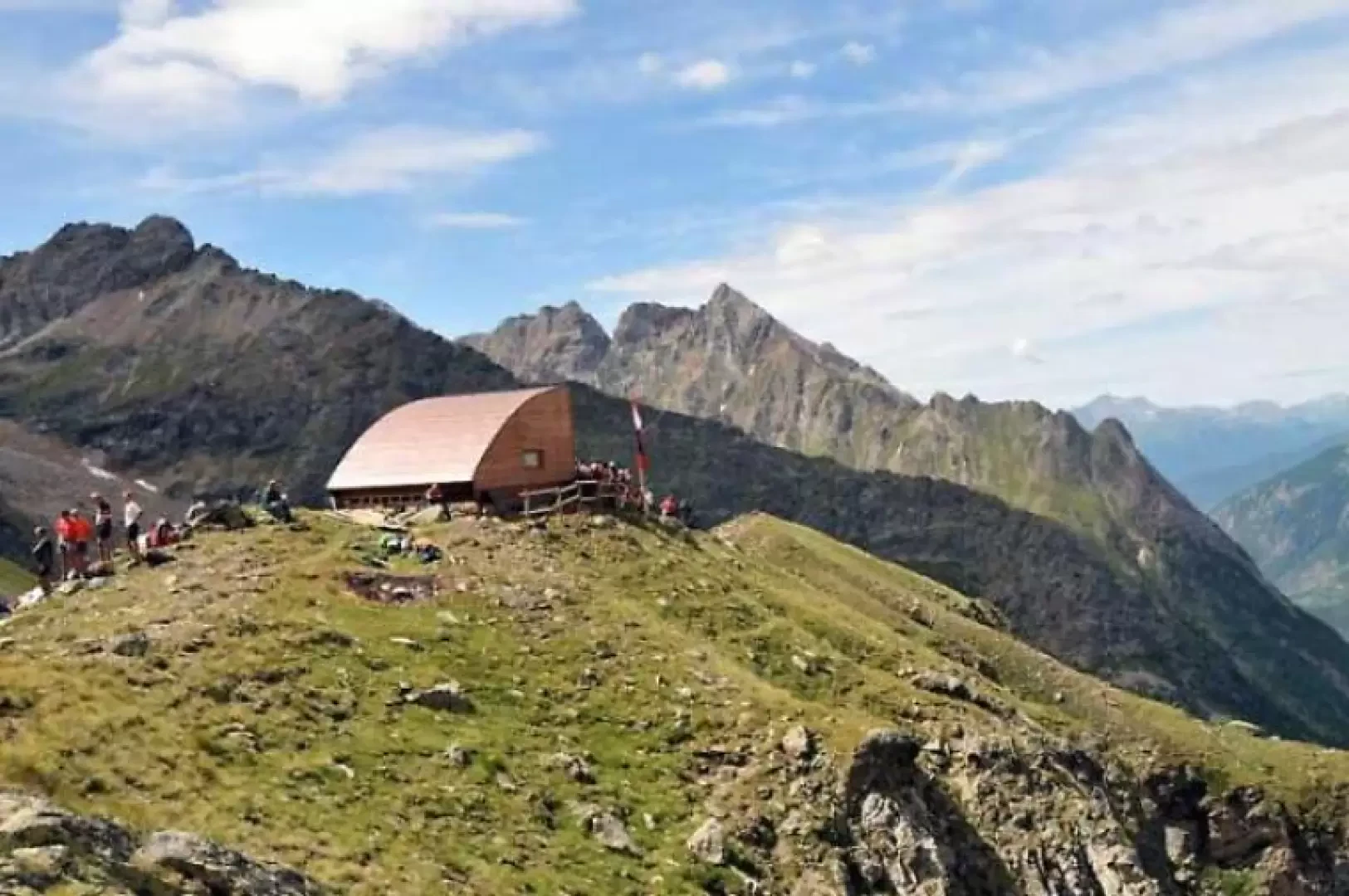
0h00' From the posts, descend along the farm track, losing about a hundred metres in height, passing a hut and arriving at a bridge overlooked by a small church where, immediately afterwards, you will find the Pouillayes hut (1639m). From here, the path begins to climb in the coniferous forest and immediately comes to a fork (1656m) at which the track with red marks is left; continue making a few wide hairpin bends that immediately gain altitude and, having passed a small wooden gate, come out into a small open valley where you continue on the left. Towards the bottom of the valley, there is a crossroads (1907m), at which you turn left, beginning a fairly steep section that climbs up the hillside above the Comba d'Avée and, after cutting a fairly narrow gully, you come to a small valley; you pass a small pass, still in the woods (2118m), and descend, losing about fifty metres in height difference, towards a stream that you cross at its best point, following some stone cairns. Immediately after crossing a couple of small streams, climb up a grassy slope to the left of a large landslide area and, at its peak, reach a wide pastureland where, high up on the left, is the ruin of the Pra de Dieu hut (2283m). Immediately afterwards, you come to a small pass from which you enter a valley where the path continues on the orographic left and, gradually increasing in gradient until it becomes very steep, reaches a narrow notch on the right; here you turn left and immediately reach, just above a small grassy spur, the bivouac that you only see at the last moment.
.Galleria fotografica
We have been there
Bivacco Chentre-Bionaz, da La Ferrère
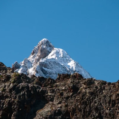
Si vous etes à la recherche d'un lieu solitaire et méconnu surement la balade au nouveau bivouac Chentre-Bionaz est un bonne solution. Bati dans les dérnières années et inauguré le 29 juillet 2010, le bivouac represente un bon but soit pour une balade journalière soit comme point de départ pour la découverte de sommets pas trop en vogue: Mont Dzalou, Dome de Pra de Dieu et le superbe Bec de Luseney.
Bivacco Chentre-Bionaz, direttissima
Bella passeggiata verso un bivacco che è per se stesso un'opera d'arte, all'interno ed in facciata si possono ammirare alcune opere dell'artista olandese Arjen Bakermans.
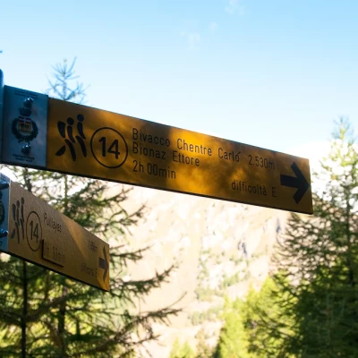
Dal parcheggio a bordo strada ci si avvia lungo la poderale che porta prima alle case di Ferrere poi alla frazione Puillay. Dopo aver attraversato il torrente si imbocca il sentiero che parte a fianco di una grande casa con il colmo datato 1844. Seguendo il segnavia (14) si prende quota nel vallone di Montagnayes poi al bivio si gira a sinistra e superato il colletto si entra nel vallone di Arbierès. Si passa a finco dei ruderi dell'alpe Praz de Dieu (2290 m) ed in breve si raggiunge il bivacco.
Chi desidera evitare i lunghi tratti quasi pianeggianti del sentiero 14 può percorrere la direttissima che sale nel bosco.
Attenzione:il tratto compreso tra le opere dell'ENEL ed il sentiero 14 nel vallone di Arbierès NON è segnalato, NON è tracciato e nella parte bassa è esposto. Una caduta all'inizio delle placche rocciose può avere conseguenze mortali.
A pochi minuti dalla casa ottocentesca si vedono sulla sinistra i bolli di vernice rossa che indicano l'inizio del sentiero che conduce alla presa dell'ENEL. Lo si percorre fino al grande terrazzo panoramico dal quale si accede alla galleria sotterranea che conduce le acque della diga di Bionaz alla centrale idroelettrica di Valpelline.
Consiglio a tutti di percorrere la corta deviazione sulla destra che porta all'interno del vallone: in pochi minuti si raggiunge l'opera di presa che pare quasi un'astronave o una base spaziale costruita sul fondo roccioso del torrente. Si ritorna al terrazzo, si supera l'entrata della galleria e ci si arrampica tra le placche rocciose risalendo il versante che si fa piano piano meno ripido. Consiglio di tenersi sulla sinistra, dove la vegetazione è meno intricata. All'uscita del bosco, nel pressi di un piccolo lago artificiale utilizzato un tempo per l'irrigazione ci si immette sul sentiero 14 che conduce al bivacco Chentre Bionaz.
Curiosità
La storia del bivacco è contenuta nel sito ufficiale: http://www.bivacco-valpelline.nl/
