Leaving the motorway at Pont-Saint-Martin, turn right and, after passing a first roundabout, turn at the second in the direction of Gressoney. Enter the village of Pont-Saint-Martin and turn right, after 1.2km, onto the regional road for Valle del Lys. Continue up the regional road , passing the villages of Tour d'Héréraz (Perloz), Lillianes and Fontainemore. Shortly after the latter, you will come to a crossroads: turn right and follow the signs for Pian Coumarial and Pillaz. After about 16km, follow the signs for Pillaz, leaving the main road and taking the small road to the left that leads to the village. Pass the small hamlet and, after a few hairpin bends, you will reach the end of the road: leave your car in the small car park where the traffic ban begins.
Introduction
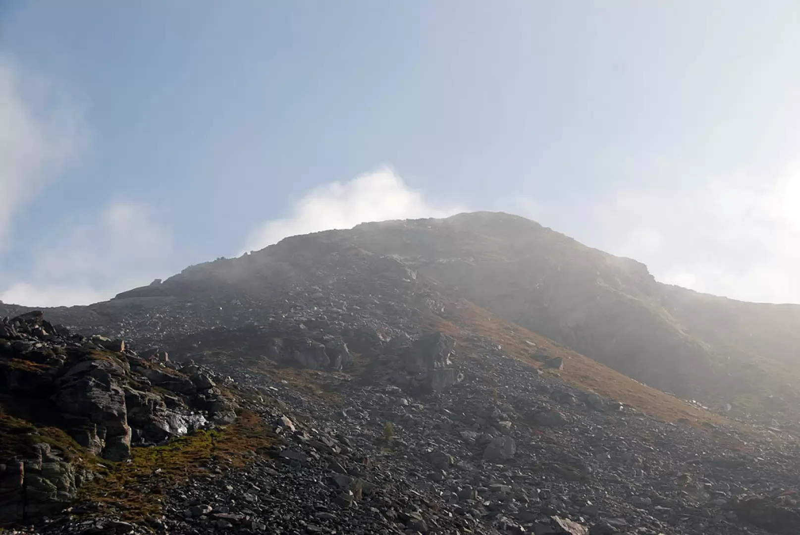
The Balma di Oropa is a border peak between Valle d'Aosta and Piedmont. The ascent to the Balma allows, on a few clear days, a beautiful view of the Mont Mars Nature Reserve area as well as of the Conca before Oropa and its famous sanctuary.
Description
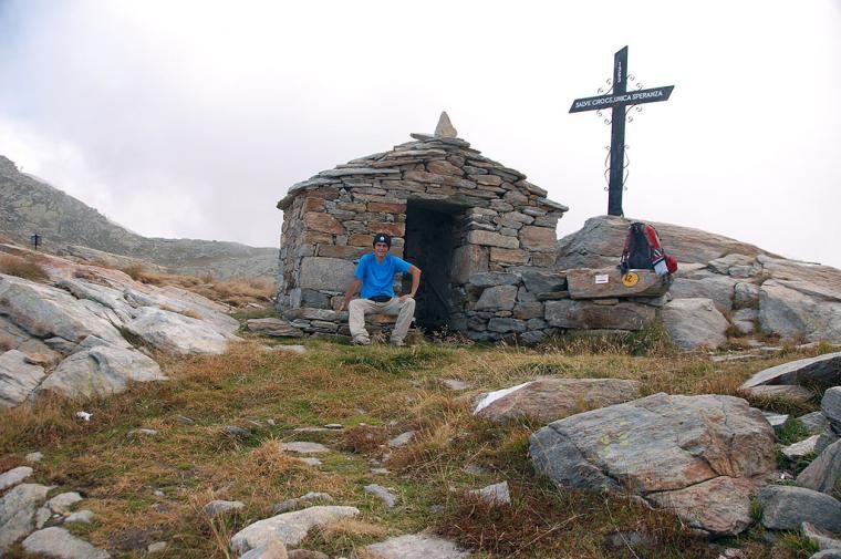
You leave your car and proceed along the dirt track, which is forbidden to traffic by a no-trespassing sign. The route is comfortable and the slope is moderate enough to allow a pain-free start. The road enters the valley of the Pacoulla, a stream flowing in the impluvium about a hundred metres below, crossing a beautiful wood of silver fir, larch, birch and a few rowan trees. After a kilometre's walk, you come to a signpost indicating the fork to Pian Coumarial, signpost (2E) (1410m, 0h20'). Disregard the track to the right and continue straight on until reaching a second fork: go straight on, disregarding the little road that descends to the left. A few minutes' walk and you come to a small votive shrine; from here the road begins to climb with greater intensity. After a straight stretch of ascent, the road takes a few hairpin bends that allow it to gain a hundred metres in height, at the end of which the road reduces its gradient and soon reaches the vicinity of the stream. Cross the stream at an artificial ford and start climbing again with a couple of hairpin bends leading to the junction for Col Marmontana, marker (2A) (1664m, 1h20'). Neglecting the path, continue along the little road until you reach the first of the Vargno cottages and, shortly afterwards, the Alta Via 1 and the path to Balma di Oropa (1,700m, 1h25'): turn left and take the mule track that crosses the scattered cottages of Vargno. Climb up the lovely mule track until you reach the last cottages, then walk along the lovely paved section that approaches a scree slope: from the top you can appreciate interesting views of Lake Vargno below. Cross two strips of scree until reaching a grassy stretch again; make a few hairpin bends and you will reach Lé Lounc (1942m, 2h00'). Leave the houses of Lé Lounc and immediately come to the junction for Col Chardoun, marker (2B) (1932m, 2h05'): ignore the path to the right that descends towards the upper lake of Lé Lounc and continue on the trail until reaching, after a short descent, the first of the Barma lakes. Start climbing again, passing near the future refuge of the Laghi della Barma lakes and entering, still on the mule track, a wide gully at the edge of a knoll. Having climbed up the gully, the trail proceeds for a short stretch that is almost flat and then begins to climb again in the presence of the broad peak of Balma di Oropa. The path, paved in places, climbs up the ridge towards the wide final saddle. The itinerary proceeds in some sections on flat rocks, always well signposted by yellow bolts and cairns, until reaching the wide saddle of Col da Barma (2256m, 3h00'). From the pass, proceed to the left following the red and white bolts of the path [D23]; after a short flat section, face the ridge line, passing a passage on simple rocks. The path leads for a short uphill stretch on the slope of the Valle d'Aosta until it returns to the watershed: go up a short stretch of pastureland and then leave path [D23], which proceeds to the right, keeping to the ridge. You reach a sort of saddle characterised by a rocky slab that is practically flat, then start climbing more steeply again, following the faint traces of the path and the blue bolts of the Alta Via Biellese. After the last climb, you reach the desolate summit marked by a small stone cairn (2381m, 3h30'). The descent follows the same route as the ascent.
La salita al Col da Barma (Colle della Barma d'Oropa) dal lato valdostano è molto piacevole per la varietà del percorso ed i molti angoli suggestivi che si incontrano durante la salita. Peccato solo per la nebbia che mi ha avvolto a tratti lungo il percorso... ma si sa... non è facile trovare una giornata limpida da quelle parti.
Condizioni via o sentiero: buone Pericolo Oggettivo: leggera esposizione sul tratto finale dell'ascensione Tratti esposti: vedi sopra Affollamento: qualche escursionista dal lato biellese
Cielo: coperto con parziali schiarite a metà giornata Temperatura: fresca


Comments (0)
Sign in to leave a comment