From the motorway exit at Châtillon, turn left along Via E. Chanoux. Go past the roundabout, third exit, and continue through the town centre for about 600m and then turn right into Via Menabrea, which you should follow until you reach the roundabout with the "Cervino" on the inside. Take the third exit and continue on the main road for 5 kilometres until you reach Chambave: turn right following the signs for ta towards Centre Chambave/Verrayes/Saint-Denis. After 200m at the Crotta di Vegneron, turn left and take the regional road . After 2.2km, you will come to the turnoff for Verrayes, which you should ignore on the left, and continue on the regional road for 9.6km, passing through the villages of Saint-Denis, Petit and Grand Bruson and Del until you reach the village of Plau where, on the right-hand side of the road, you will find a small free car park 🅿️ located opposite the village chapel.
[0h27'] - [17.7km] How to get there with GMAPS How to get there with Apple Maps
The directions given here have been verified as of the date the route was surveyed. Before setting off, you should ensure that no substantial changes have occurred on the route to the starting point. We therefore recommend the use of the satellite navigation apps provided by Google or Apple to obtain up-to-date and detailed directions.
.
Introduction
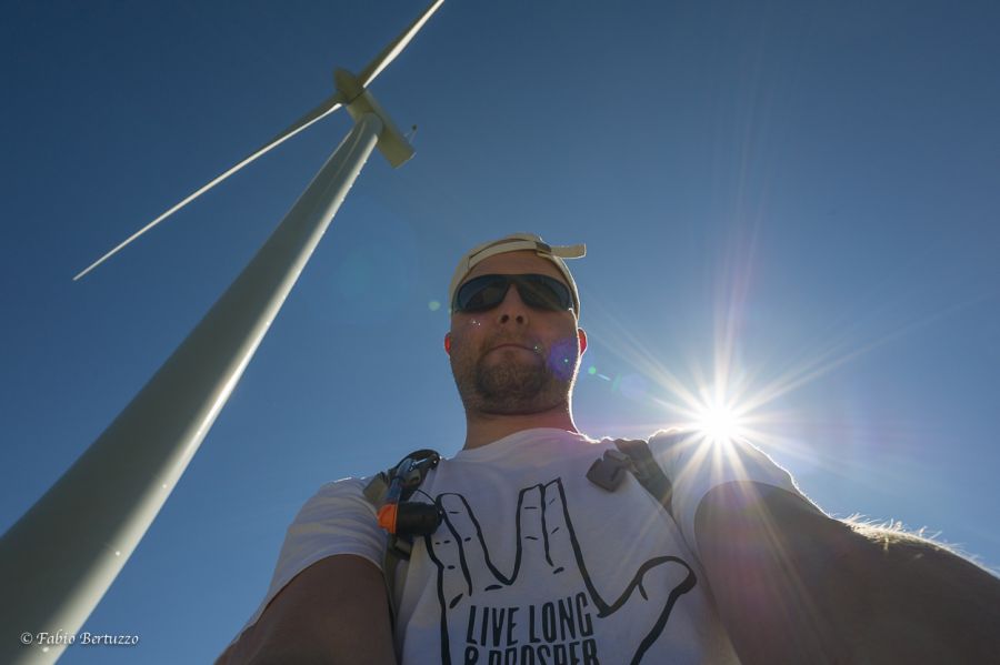
This wind farm is the first and only one of its kind in Valle d'Aosta. It is located at 1380 metres above sea level due to its windiness and proximity to the electricity grid. It was built to redevelop the area after a forest fire and has been operational since 2012. It consists of three turbines with 25-metre high towers, 52-metre blades and a nacelle that transforms mechanical energy into electricity. The blades are designed to stop and turn into a flag position when the wind exceeds 90 km/h. This wind farm produces enough energy to supply 1500 households per year, avoiding carbon dioxide emissions and oil consumption. The wind farm also has a positive effect on the local economy. It has created 10 new jobs in the area and supports the development of small businesses. It has also increased tourism in the area due to its exceptional location and architecture. In addition, the revenues generated by the wind farm are reinvested in the local community. This money is used to finance programmes dedicated to environmental protection, education and community development. The wind farm in Valle d'Aosta is an excellent example of how renewable energy can be used to revitalise a region. Its success has inspired other areas to develop similar projects, promoting sustainable development and renewable energy sources. The wind farm's impressive energy production and positive economic and environmental impact prove that wind energy is a viable alternative to traditional energy sources.
Description
0h00'0.00km Go up the regional road for about one hundred metres and then turn onto a dirt road to follow to your destination. Proceed with a short descent until you come to the access road to a stable. Continue straight on, now slightly uphill, leaving the pleasant pastures to enter the wood, first with larch (Larix decidua) then Scots pine (Pinus sylvestris L). The route does not present any difficulties or roughness and proceeds gently through the forest. After a short descent, it starts to climb again until it meets a signboard of the Nordic walk park of Saint-Denis with directions to Lavésé.
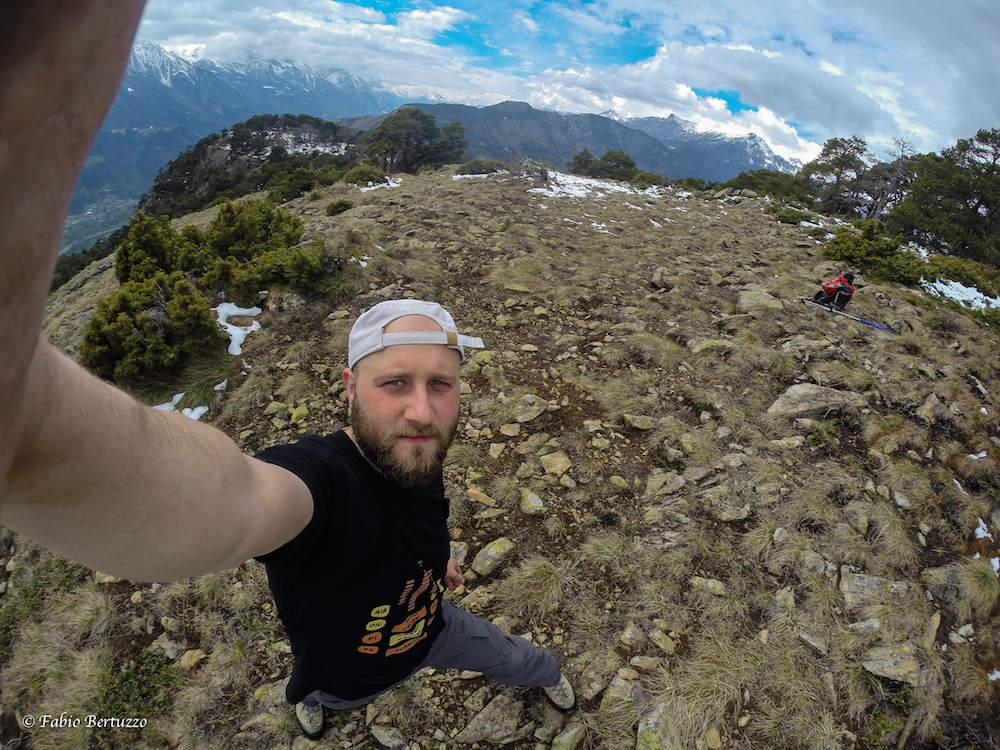
0h25'1.55km Continue straight on until you come to a fork: go up the track on the left that in a few minutes leads to the highest windmill and to the belvedere from which you can appreciate a beautiful view of Saint-Vincent and the peaks of the middle valley. Retrace your steps as far as the previous fork.
1h00'3.30km Turn left and descend down the road until you reach the second wind turbine, at the foot of which a bench painted by the children of Verrayes primary school has been placed.
1h10'3.60km Continue briefly on the dirt road until you reach the third shovel and the finishing point of the route 1h20'3.80km .
The return is along the same route as the outward journey, ignoring the diversions to the first shovel 0h55'3.00km


Comments (0)
Sign in to leave a comment