Abaz, from Sizan
Access
At the motorway junction of Verrès, enter the roundabout and take the second exit. Proceed in the direction of the town centre and, after 300 metres, turn left onto the regional road for Val d'Ayas. Follow the regional road for 3.5 kilometres until you meet the signs for Isollaz. Turn right at the hairpin bend and continue for one kilometre until you reach a fork in the road: follow the small road to the left towards Sizan and, after 300 metres, you will find a large car park 🅿️ opposite the cemetery, where you can leave your car free of charge.
[0h10'] - [5.3km]
How to get there with GMaps
How to get there with Apple Maps
The directions provided were carefully checked on the date the route was taken. However, it is highly recommended to check for any changes that may have occurred since then, especially regarding the route to the starting point. Before embarking on your journey, it is advisable to consult up-to-date navigation tools for accurate and up-to-date directions. We recommend the use of satellite navigation apps, such as Google Maps or Apple Maps, to ensure the most accurate and safe routing.
Introduction
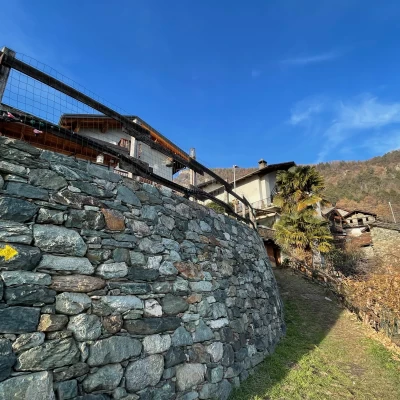
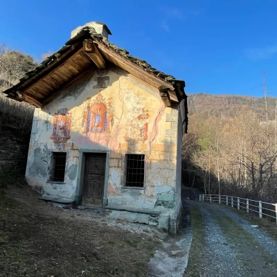
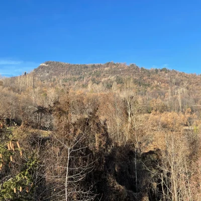
The itinerary described is a charming and accessible route for everyone, ideal to be explored in spring or autumn to better appreciate the colours of the forest. Starting from the quiet hamlet of Sizan, the hike crosses evocative landscapes with lush forests and panoramic views of the valley, until reaching Abaz, a village located at an altitude of 931 metres on the eastern slope of Col d'Arlaz. Along the way, visitors can also discover local history, with a stop at the Chapel of Our Lady of Mercede in Sizan, a structure dating back to 1797, which adds spiritual and architectural value to the hike.
Description
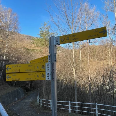
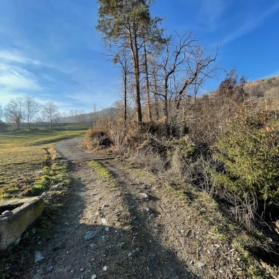
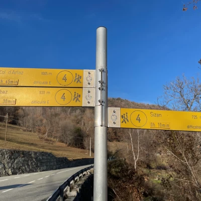
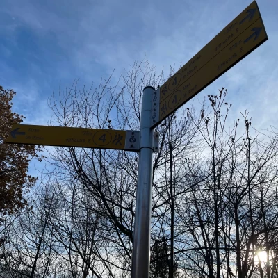
0h00' 0.00km From the village of Sizan, proceed along the small tarmac road that becomes a dirt track just outside the village, until you reach the pretty chapel dedicated to Our Lady of Mercede. Here, you will come across a signpost indicating the path to Abaz and Col d'Arlaz.
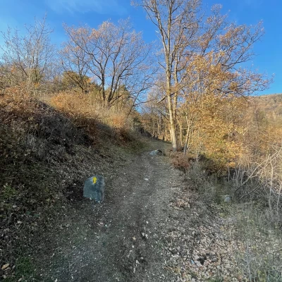
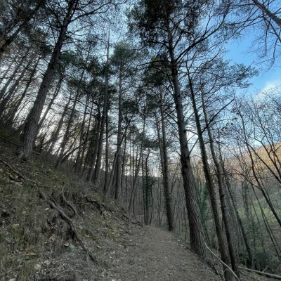
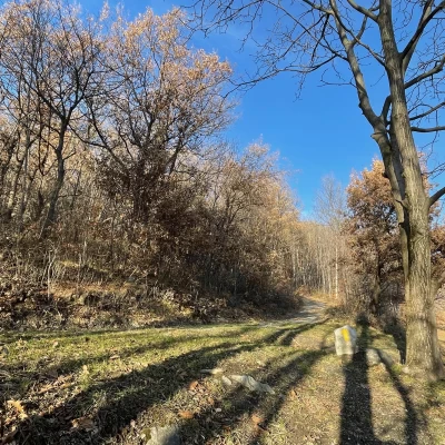
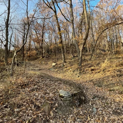
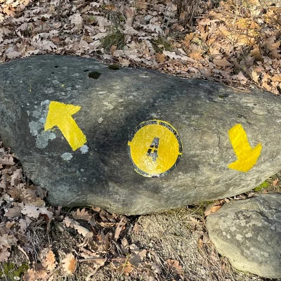
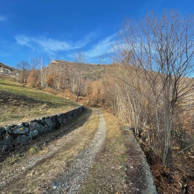
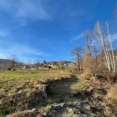
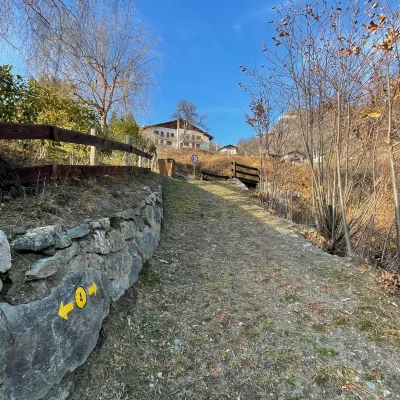
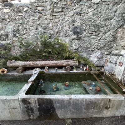
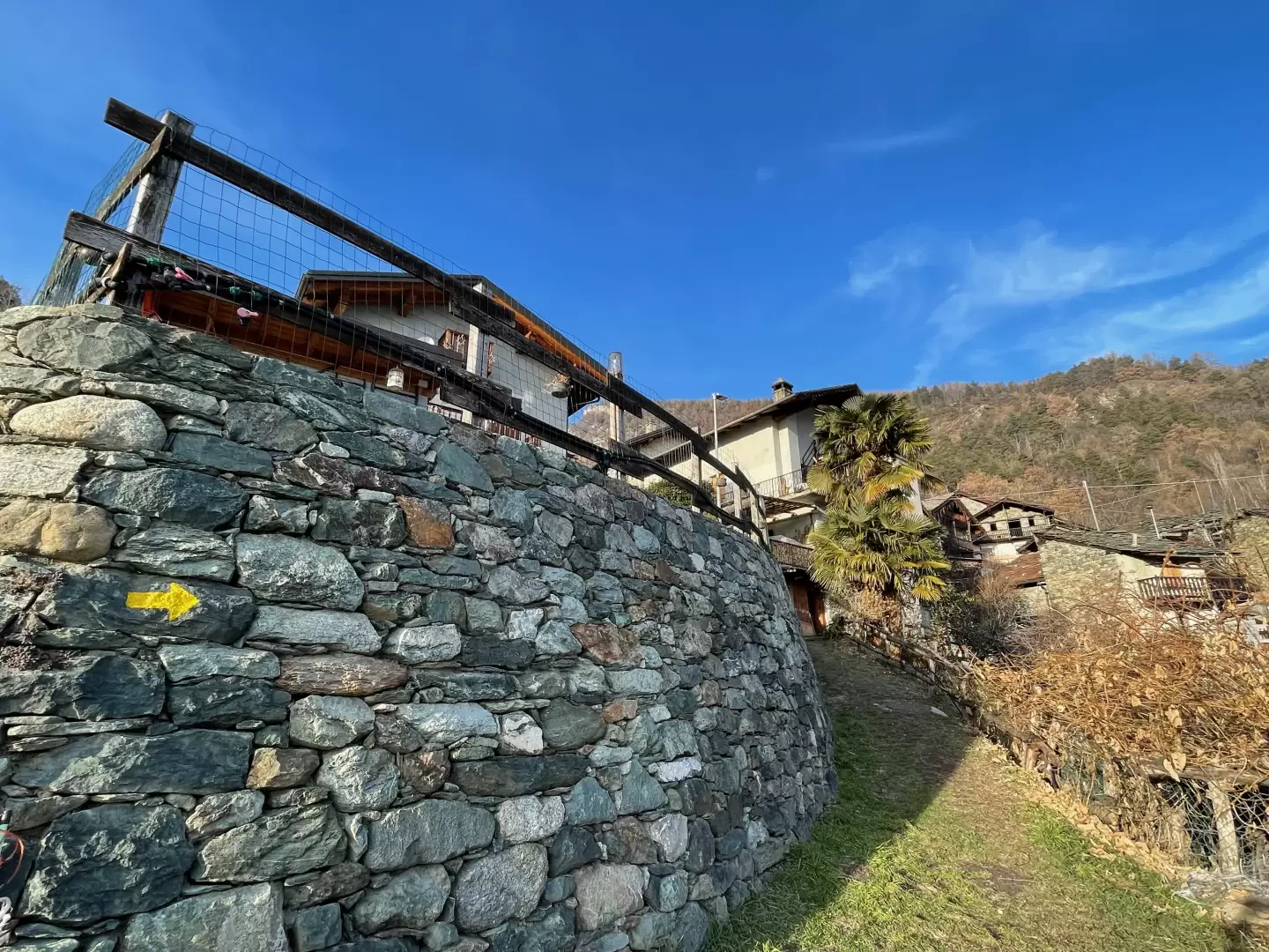
0h05' 0.20km Turn left and take a nice path that, after an initial section bordered by a metal railing, enters the forest of downy oaks (Quercus pubescens), Scots pines (Pinus sylvestris) and silver firs (Abies alba). With a few twists and turns, the path gains height, leaving the forest and ascending a meadow until it crosses the regional road at the crossroads for Lac de Villa. Cross the road and take the path again following the yellow arrows. Re-enter the forest, now a birch forest (Betula pendula), and go up the slope until you cross a farm road. Turn right and follow the track for a short distance, then turn left again onto the scarcely visible path, which can be found thanks to an arrow placed further on. You meet a new agricultural track and, following the indications of a signpost, turn right and follow it for a short distance, then turn left and climb up a small stretch of meadow before meeting the municipal road to Col d'Arlaz and the signpost indicating that you have reached the village of Abaz. Continue straight ahead as you enter the village until you reach a car park with a fountain 💧, which is the centre of the village of Abaz 0h40' 1.38km (222m D+).
The return journey is along the same route as on the outward journey 0h30' 1.38km (222m D-).
