Nearby
📍 Location Details
Latitude:
Longitude:
Accuracy:
Updated:
0 km
100 km
Path
km
-
km
m
m
Hike Type
Round trip
Circular
Crossing
Partially circular
Recommended Period
All
Hiking
Snowshoeing
Ski-mountaineering
Mountaineering
Via ferrata
Climbing
Mountain bike
Trekking
Active filters:
Tags: aosta-valley-high-routes
Showing 9 results
with active filters
Loading...

Edited by:
Massimo Martini
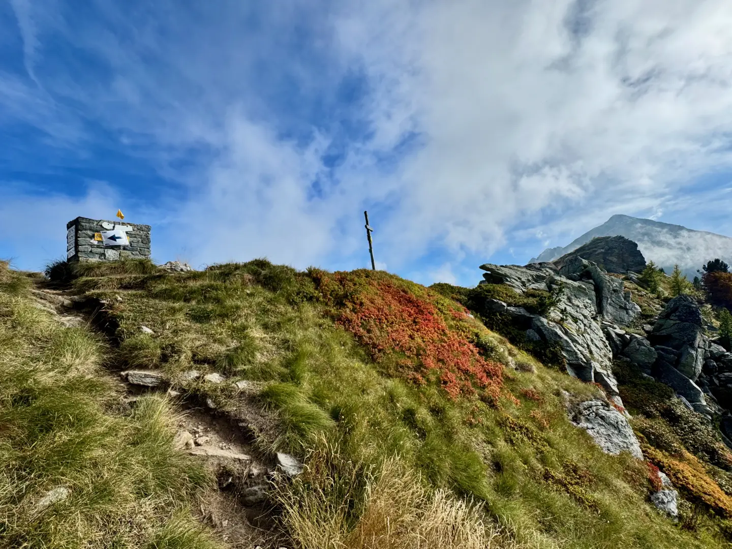
Col de Carisé, from Coumarial
The Col de Carisé is one of the most interesting destinations that can be reached from the Coumarial basin. The...
T2
8.93 Km
680 m
Edited by:
Massimo Martini
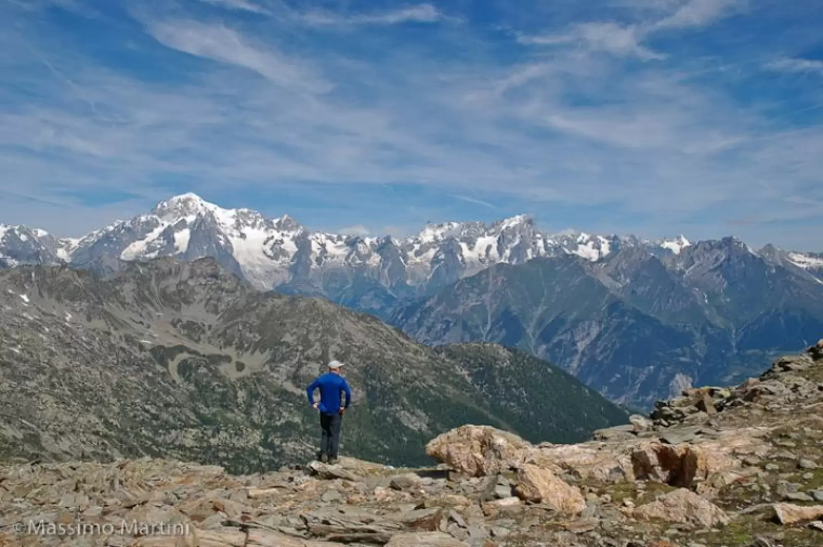
Col de la Crosatie, from Planaval
Interesting climb along the route of the Aosta Valley's Alta Via 2. The arrival at the pass allows you to...
T3
11.00 Km
1196 m
Edited by:
Massimo Martini
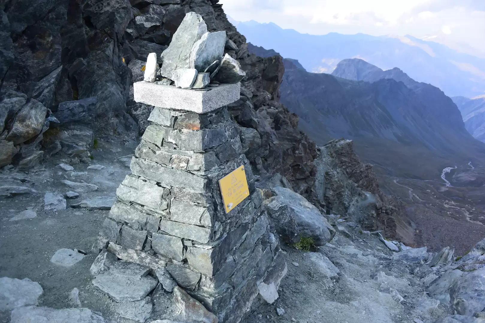
Col du Loson, from the Valnontey car park
Col Loson (3,299 m) is an iconic landmark for hikers in the Aosta Valley: it is the highest point on...
T3
20.77 Km
922 m

Edited by:
Massimo Martini
Col Entrelor, from Rhêmes-Notre-Dame
The Col Entrelor is a pass linking the Val di Rhêmes
with Valsavarenche. At 3007m, it is one of the...
T3
11.00 Km
1273 m
Edited by:
Massimo Martini
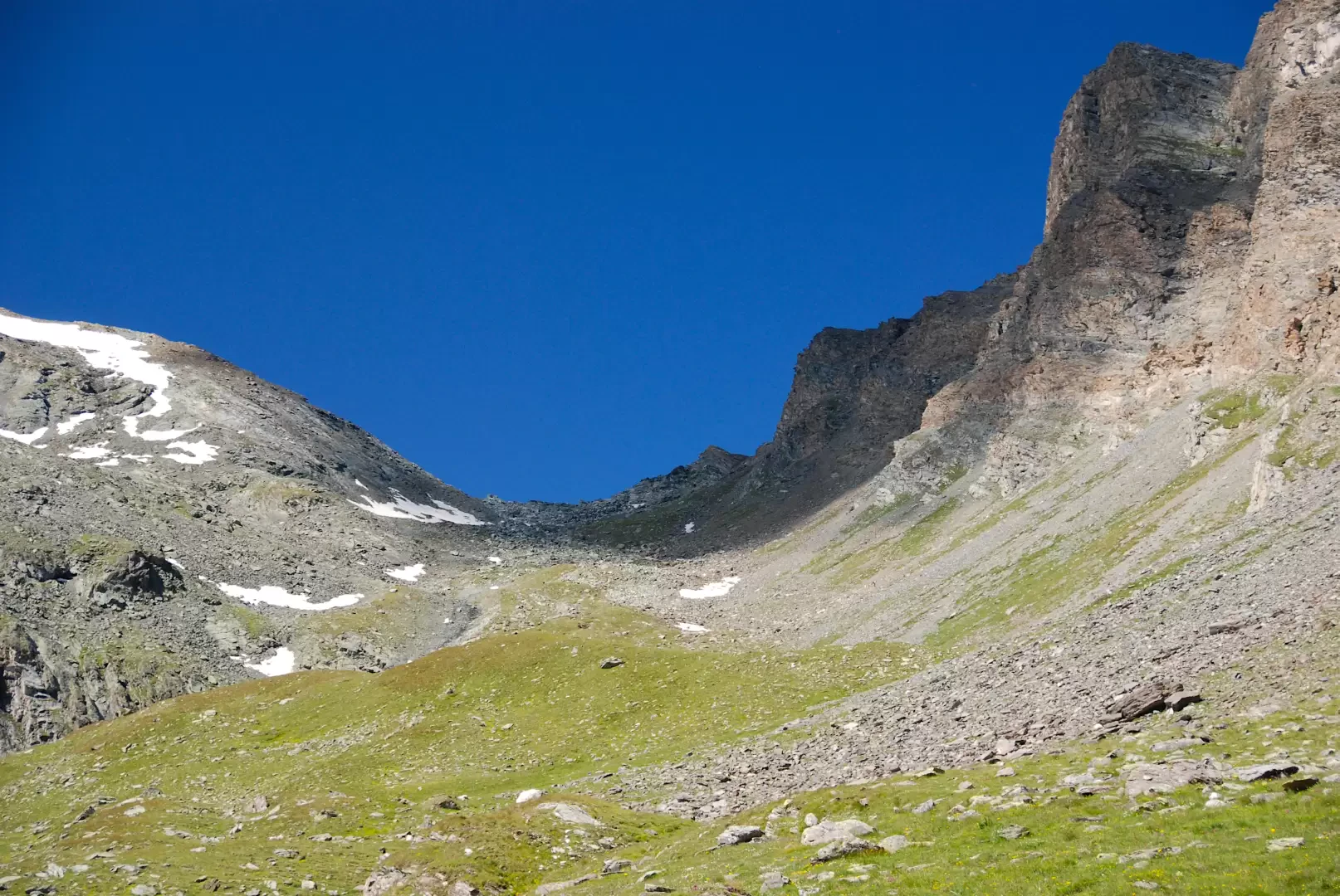
Col Entrelor, from Eaux Rousses
The Col Entrelor is an Alpine pass in the Graian Alps, located in Valle d'Aosta, in the municipality of Valsavarenche....
T2
20.36 Km
1333 m
Edited by:
Massimo Martini
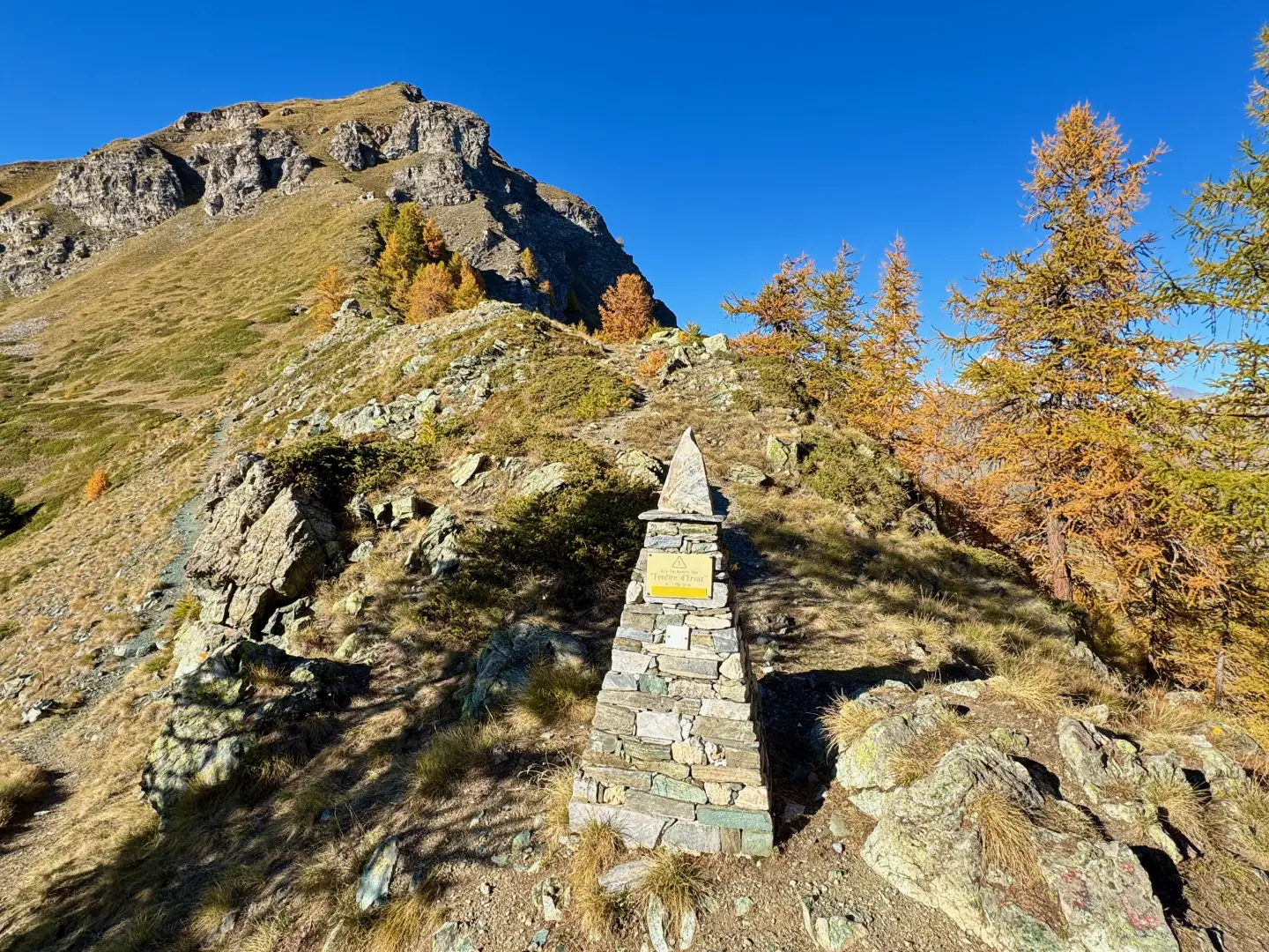
Fenêtre d'Ersaz, from Etirol
La Fenêtre d'Ersaz (2,290m) is one of the most interesting excursion destinations in Valtournenche, located in the municipality of Torgnon,...
T2
9.74 Km
692 m
Edited by:
Massimo Martini
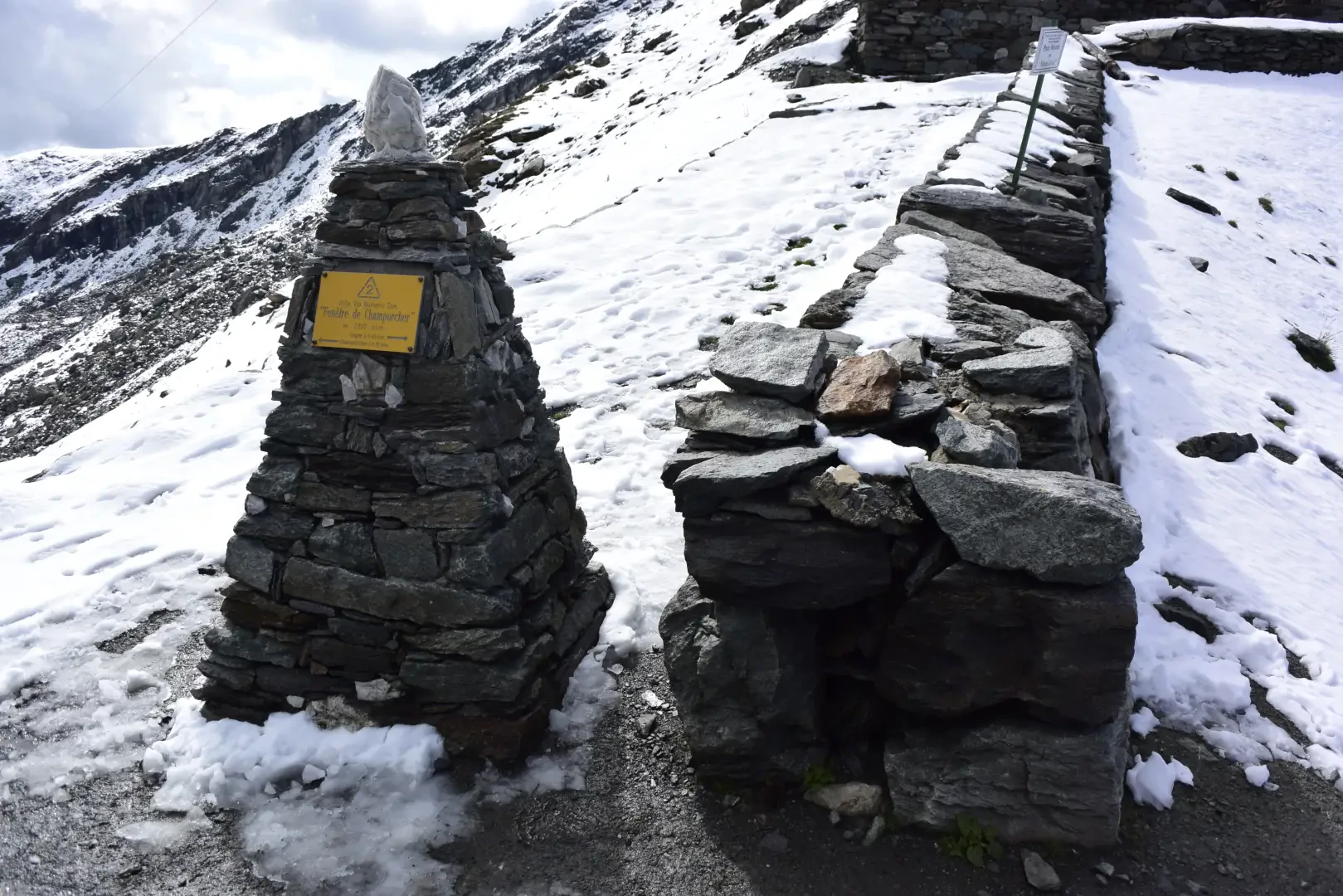
Fenêtre de Champorcher, from the Lillaz car park
The route climbs the entire length of the Urtier valley, in the eastern sector of the Gran Paradiso National Park,...
T2
25.28 Km
1374 m

Edited by:
Massimo Martini
Fenêtre du Tsan, from Etirol
A linear route in the upper Torgnon valley, in Valtournenche, which climbs from Etirol up the Petit Monde valley and...
T2
18.87 Km
1193 m

Edited by:
Massimo Martini
Gilliarey Oratory, from Etirol
Peaceful walk through pastures and larch forests, ending at a scenic and extremely scenic spot.
T2
8.10 Km
585 m