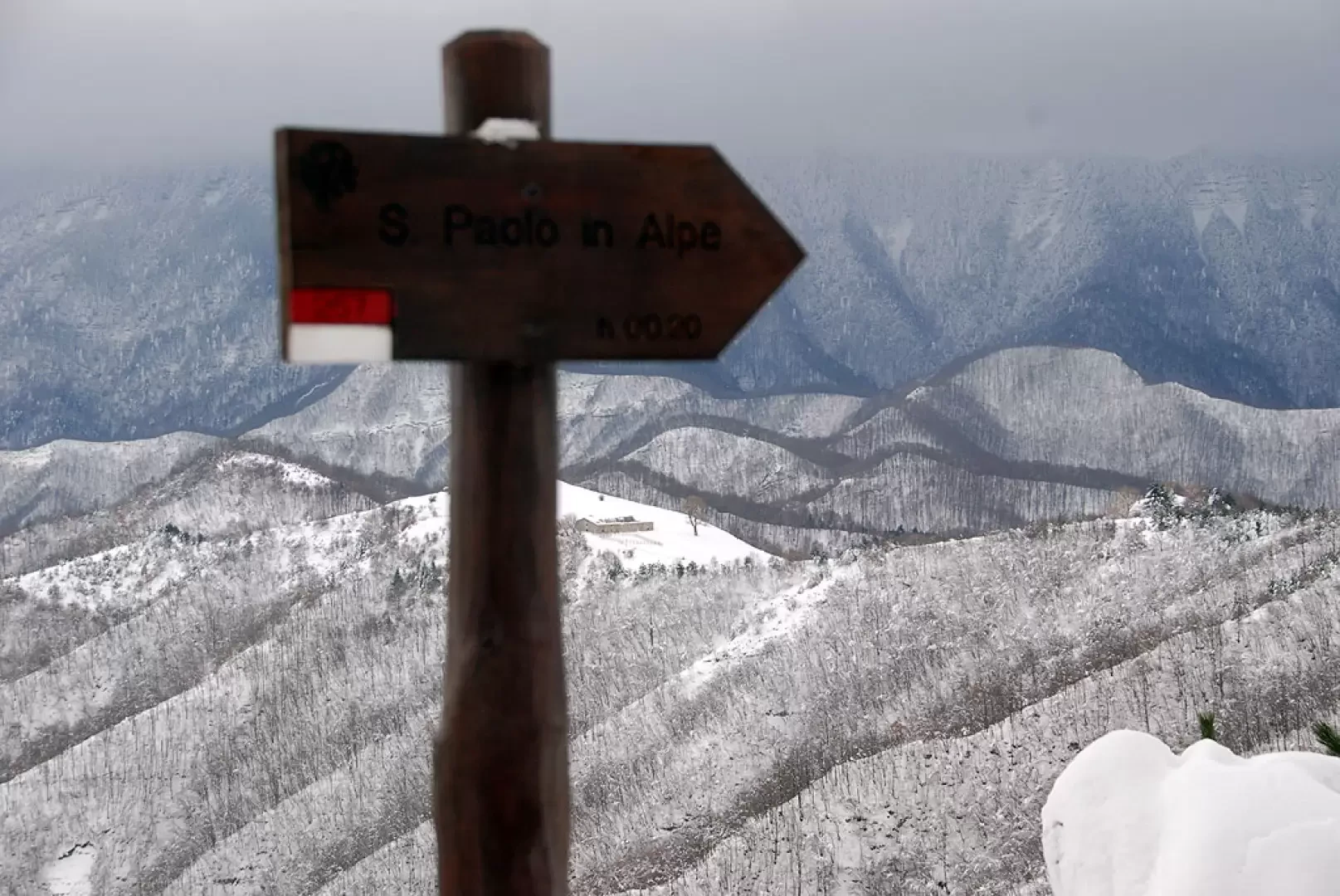
San Paolo in Alpe


Edited by:
Massimo Martini
Updated at: 15/12/2025
Access
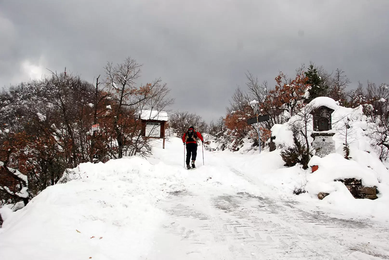
Dall'uscita dell'autostrada di Cesena Nord si imbocca la superstrada E45 in direzione sud. Seguire la superstrada sino a raggiungere l'uscita di San Piero in Bagno. Si attraversa la cittadina e si risale il Colle del Carnaio (SP26) per poi ridiscendere sino a Santa Sofia. Raggiunta Santa Sofia si svolta a sinistra imboccando la SS310 del Bidente. All'altezza di Isola si lascia la SS310 e si imbocca a SP112 sino a raggiungere il bivio per Biserno. Si imbocca una stradina sulla destra che in breve conduce al borgo di Biserno. Superato il borgo si prosegue sulla stradina per Corniolo sino a raggiungere un colletto: qui si può lasciare l'auto sul lato della strada. L'itinerario qui descritto inizia sulla pista innevata che diparte sulla sinistra del colletto, nei pressi di una lapide dedicata ai caduti durante la Resistenza.
Per coloro che arrivano da Bologna conviene uscire al casello autostradale A14 di Forlì ed imboccare la SS310 per Meldola. Raggiunto Santa Sofia si prosegue seguendo l'itinerario sopra indicato.
Introduction
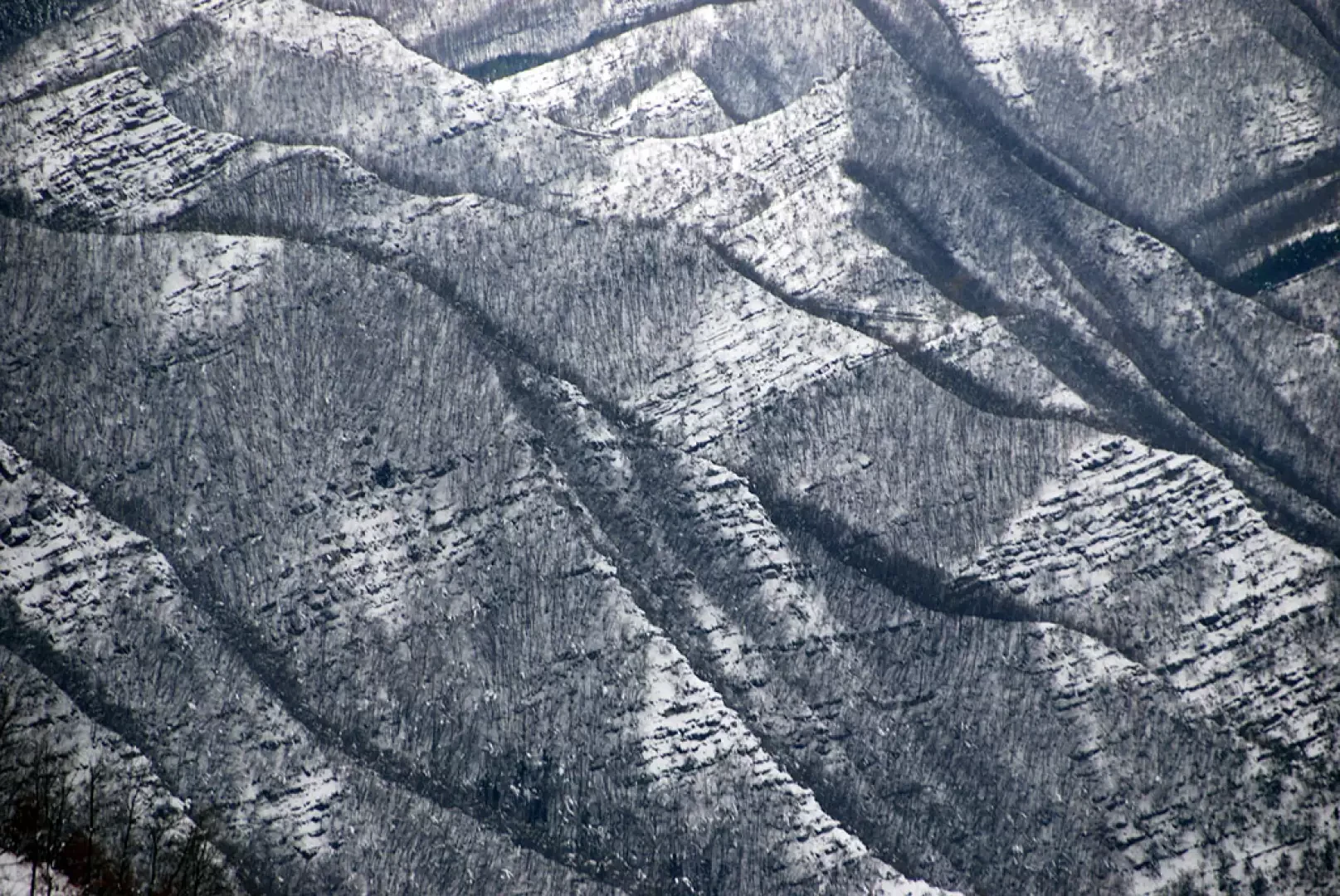
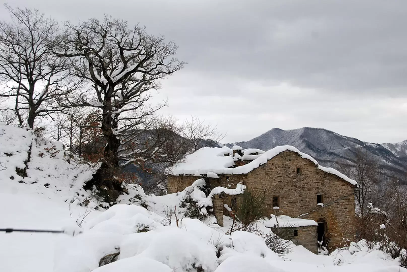
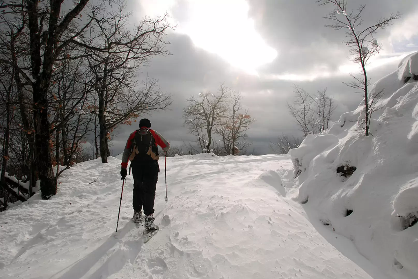
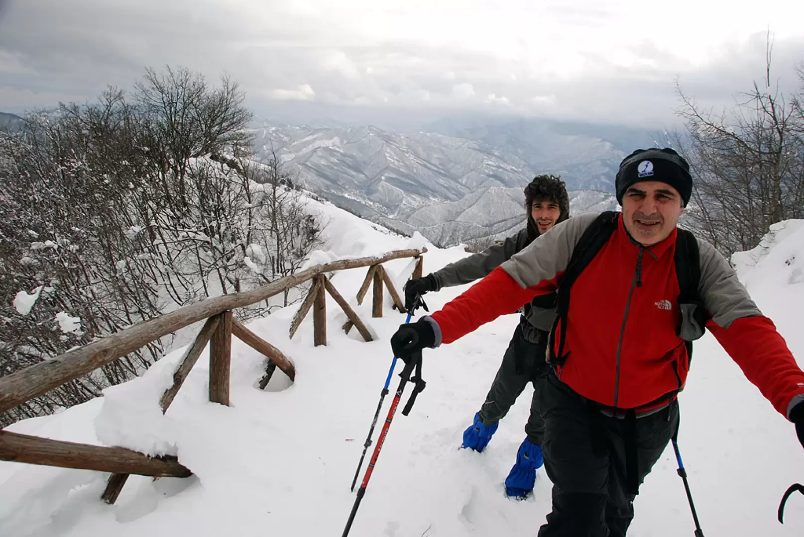
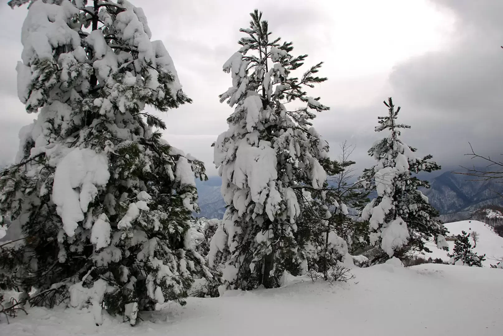
A pleasant winter hike along the Sentiero della Libertà (Freedom Trail), a route that runs through the Romagna side of the Casentino Forests National Park in dutiful memory of the painful combat events of 1943-1944. San Paolo in Alpe is an ancient abandoned rural settlement; it was the scene of bloody battles during the Second World War.
Description
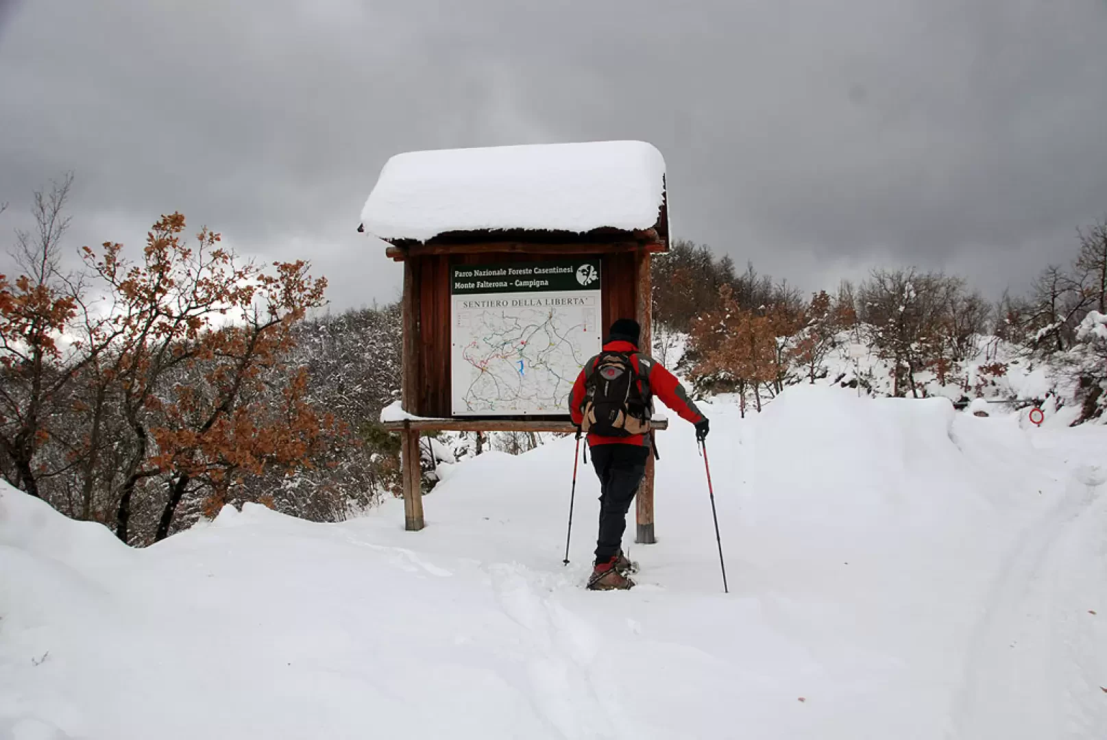
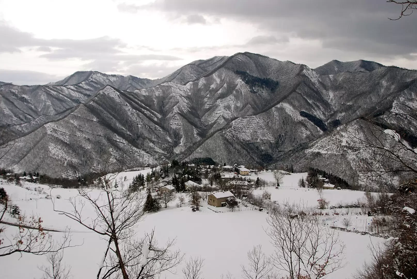
Leaving the car behind, we take a snow-covered track that soon leads to a barrier near the park's signpost panel, on which the map of the "Sentiero della Libertà" (Freedom Path) is placed. Continue on the track slightly uphill, taking the line of the ridge, leaving on the left a pleasant view of the hamlet of Biserno. After a few minutes' walk, the trail briefly changes side of the ridge and then returns to the Ridracoli side, shortly reaching the diversions for the Calata Partigiana memorial stone (729m, 0h15'), which can be reached with a short descent of a few minutes.
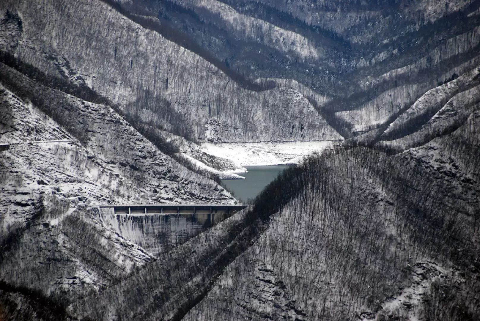
The trail now follows the ridge on the Ridracoli side, with an interesting view of the Ridracoli reservoir. We go around a knoll on the left, reaching after a few minutes the Podere Poggio Collina (814m, 0h30').
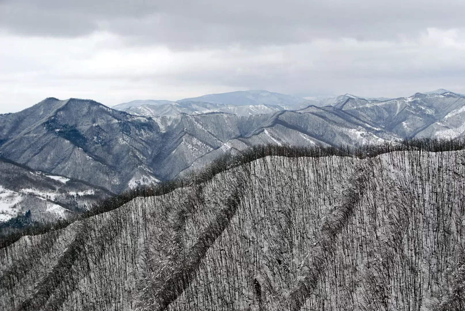
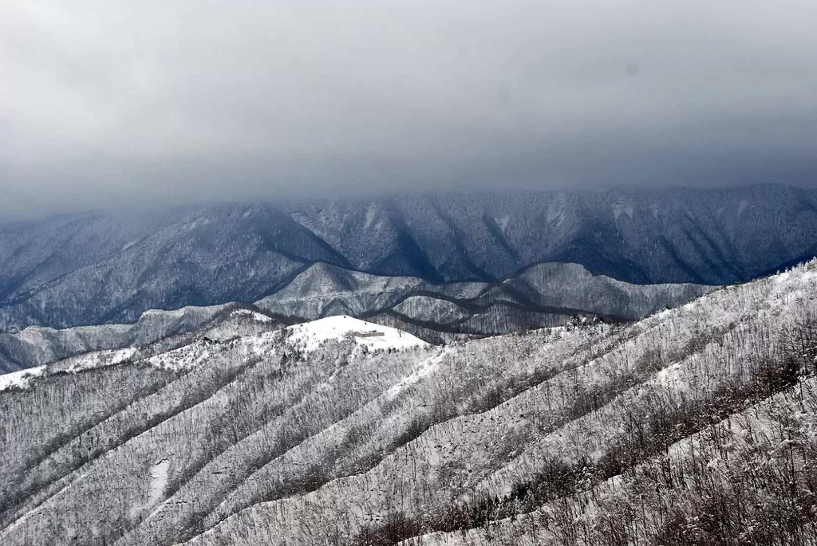
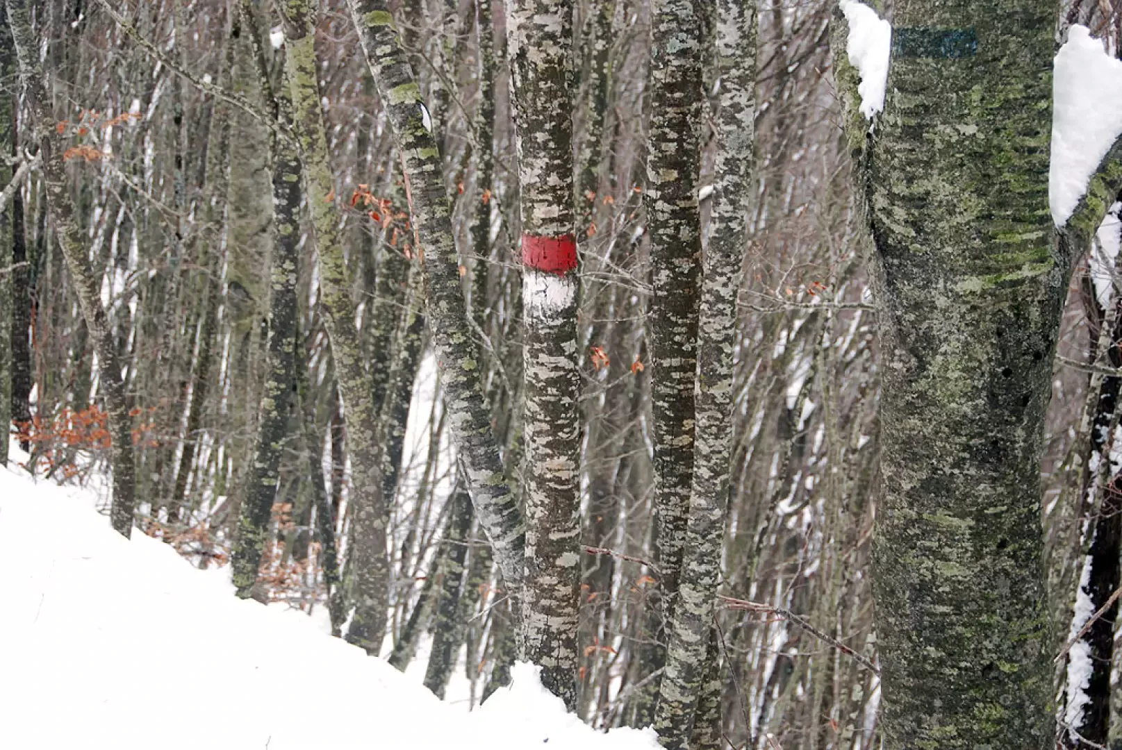
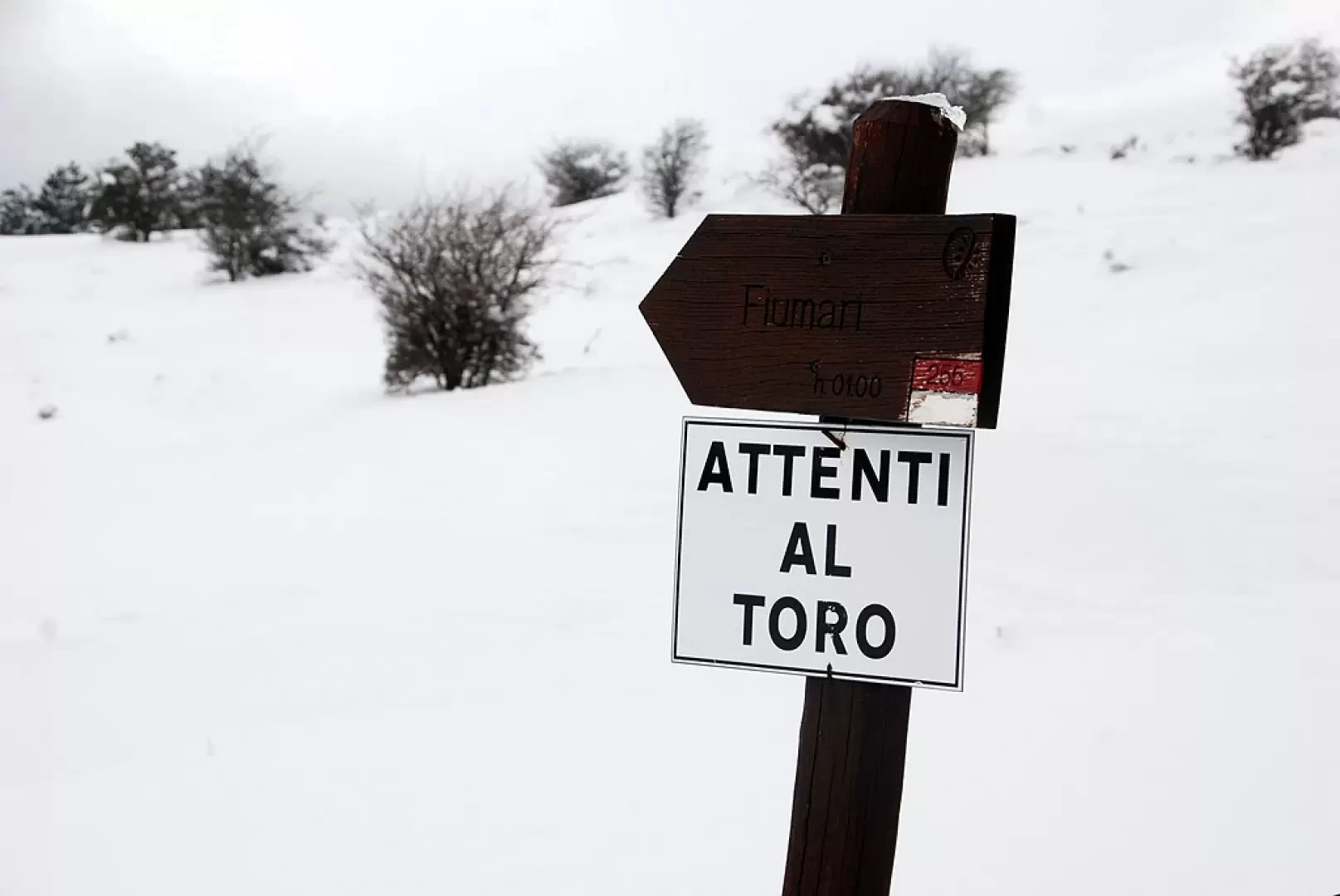
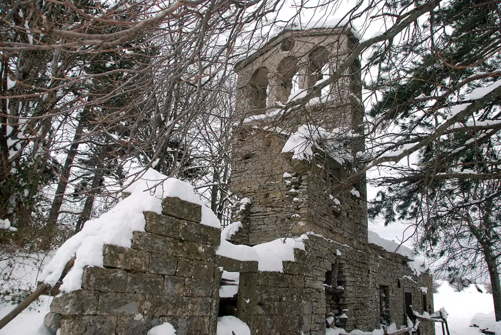
The walk proceeds along a slightly uphill stretch that goes around Poggio Collina (869m), leaving it on the left of the direction of travel. A short stretch with a few ups and downs and you officially enter the Casentino Forest National Park, passing a signpost. We pass a second barrier and, after a brief descent, begin to climb again until we reach the edge of the ridge. We begin to catch a glimpse of our destination and climb up the ridge until we reach a viewpoint with a bench: a fine view of the Romagna Apennine foothills. Having reached an altitude of 1,000 metres, proceed practically level until reaching the junction for Corniolo, marker . We soon reach Ronco dei Preti (1108 m), the highest point reached on this excursion. We continue along the edge of the ridge in a south-westerly direction, crossing several beech woods until we reach the fork for Fiumari, trail mark , near Poggio Squilla (1112m). We now proceed in a southerly direction, starting to descend towards our destination. Following the summer track, we lose altitude with a few bends until we reach the wide clearing where the ruins of San Paolo in Alpe (1028m, 2h20')
.Photo gallery
Comments (0)
Sign in to leave a comment