Ruins, from Vens


Edited by:
Massimo Martini
Updated at: 30/06/2026
Access
At the motorway exit of Aosta Ovest, follow the signs for Courmayeur; after a few kilometres you will reach Saint-Pierre and turn right (near the castle) following the signs for Saint-Nicolas. Go up the SR22 to the main town of Saint-Nicolas, and after a few hundred metres turn left following the signs for Vens. After turning right, just above, you continue for a few kilometres until you reach Vens: you pass the small village and, after 2 kilometres, you reach the comfortable square in front of the Joux pond.
.Introduction
The Vertosan comba can be considered a wonderful oasis for winter hiking, as the development of the valley makes it possible to fully enjoy the winter charms with a long walk without excessive altitude difference.
Description
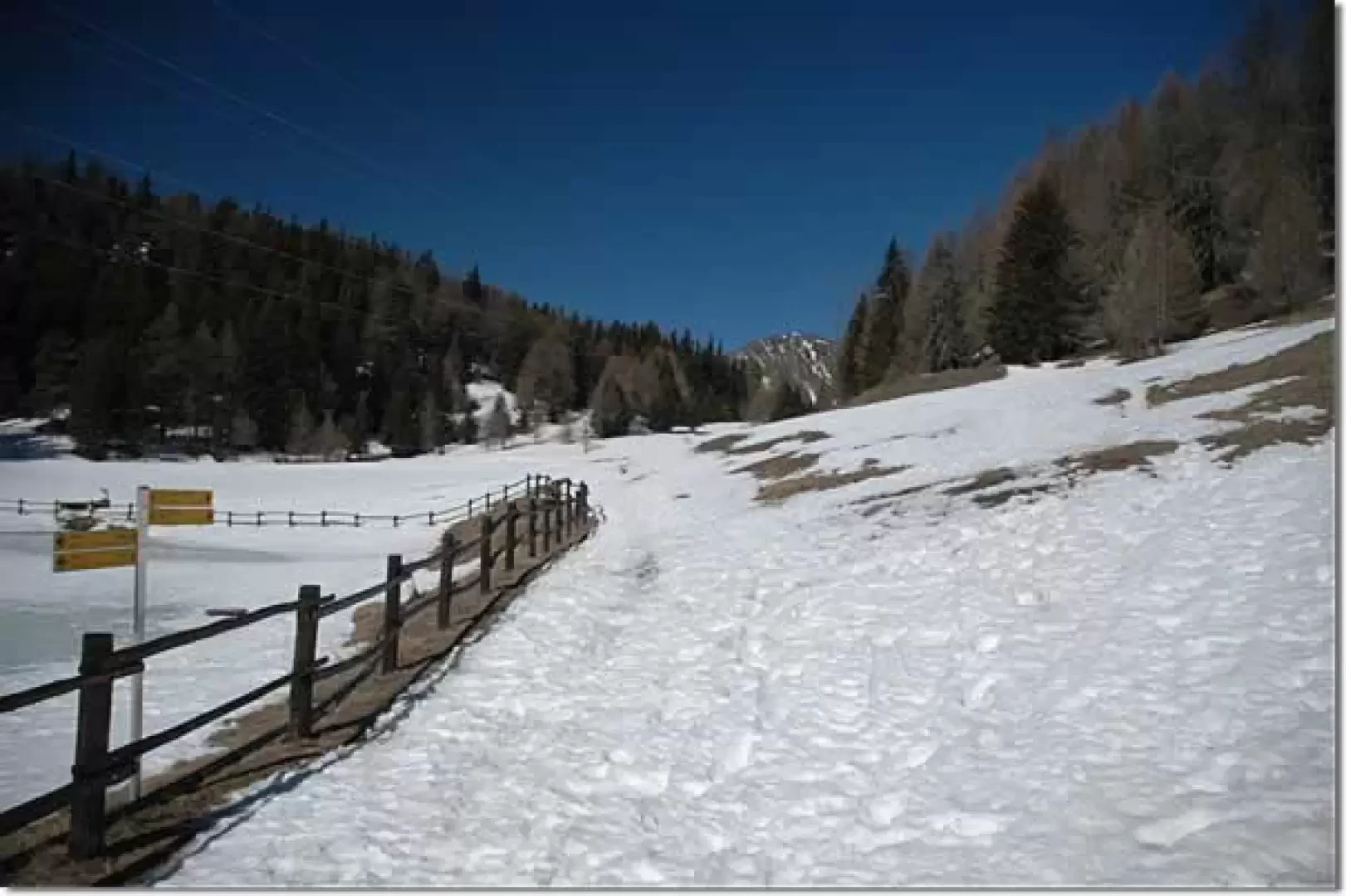
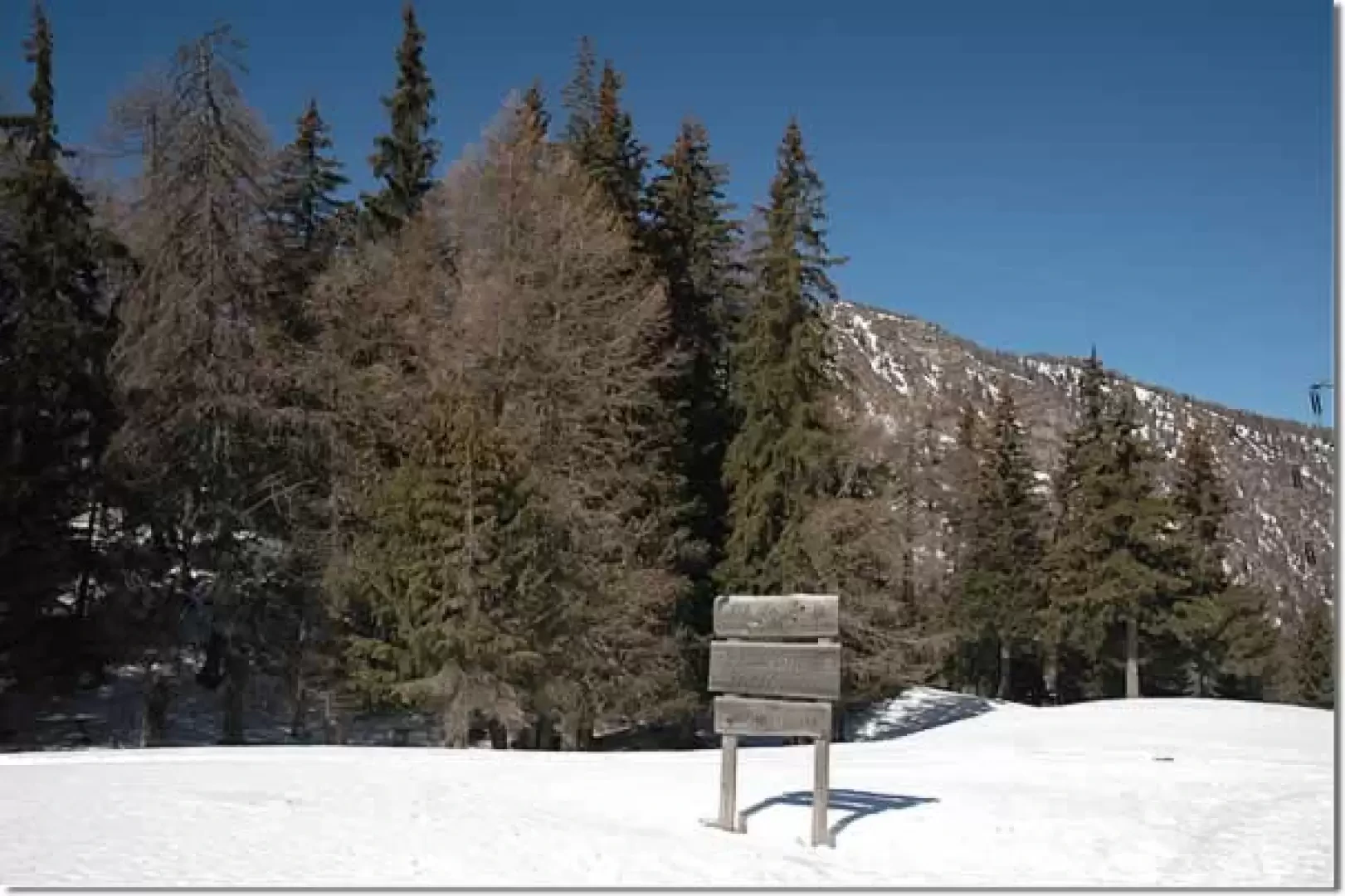
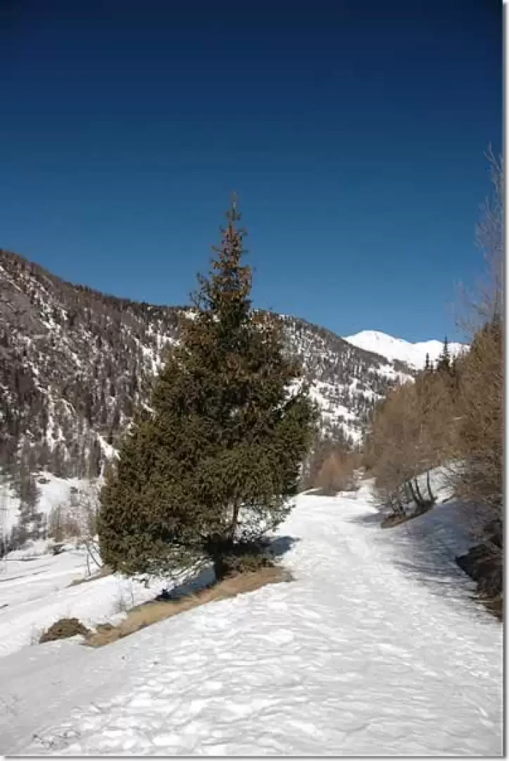
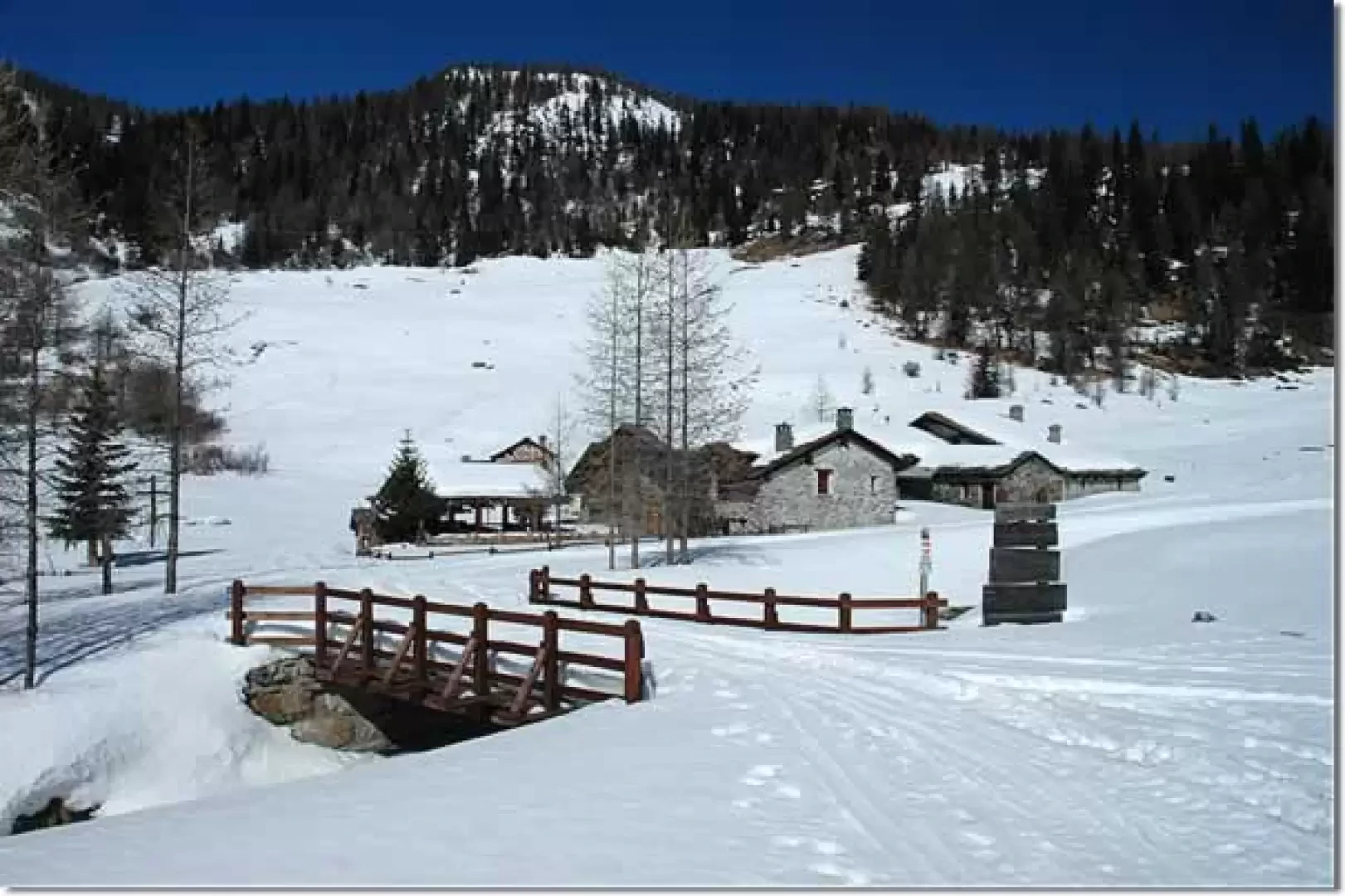
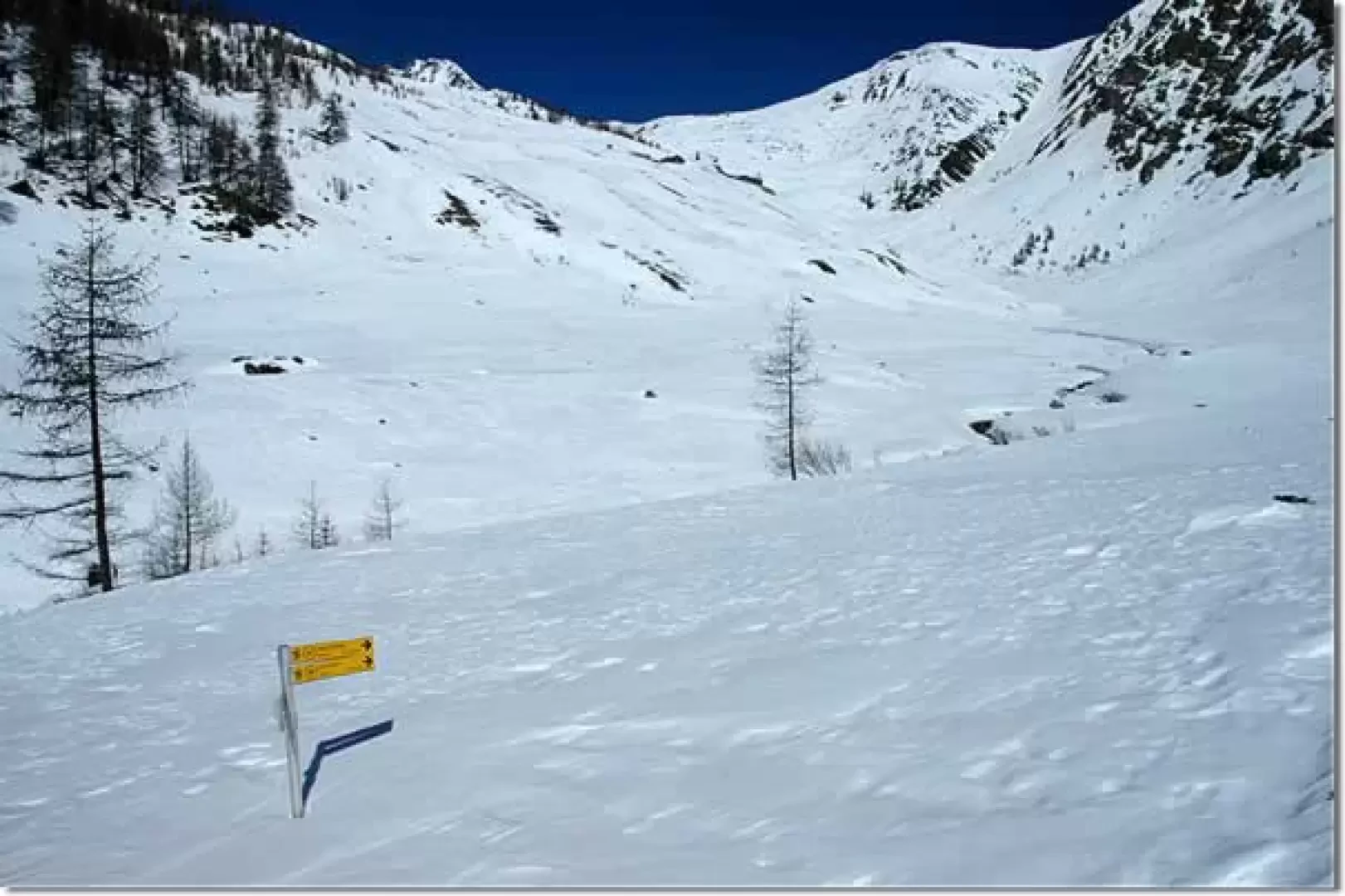
Leaving the car, walk to the right of the pond and soon reach the cross-country ski trail. Follow it, ignoring the diversions to the right for the Bettex alpine pasture, as far as Col de Joux (1930m, 0h10'). From the pass, begin to descend into the Vertosan valley, reaching the Maisonnettes Neuves alpine pasture (1822m, 0h20'). Continue for another ten minutes or so on a gentle descent until reaching the maximum depression (1797m), after which the route begins a long, practically flat stretch up the valley on its orographic left. Slowly the landscape opens up and in the background appears the Punta Flassin and the splendid expanse of snow before it. After 1h10', a signpost is found at the junction of the little road coming from Vedun. Continue straight ahead in a northerly direction, leaving the Or de Breuil mountain pasture on the right and, shortly afterwards, a small bridge crossing the Vertosan stream (not to be missed). You now walk along a further flat stretch on the edge of the larch forest; on the left, you pass the ruins of the Breuil alpine pasture and then come to a signpost (1864m,1h20') with the diversions to the Or de Fra alpine pasture. After another short, practically flat stretch, you reach the village of Jovençan (1864m, 1h40').
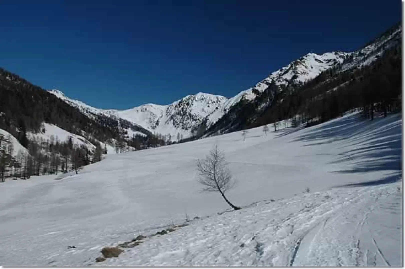
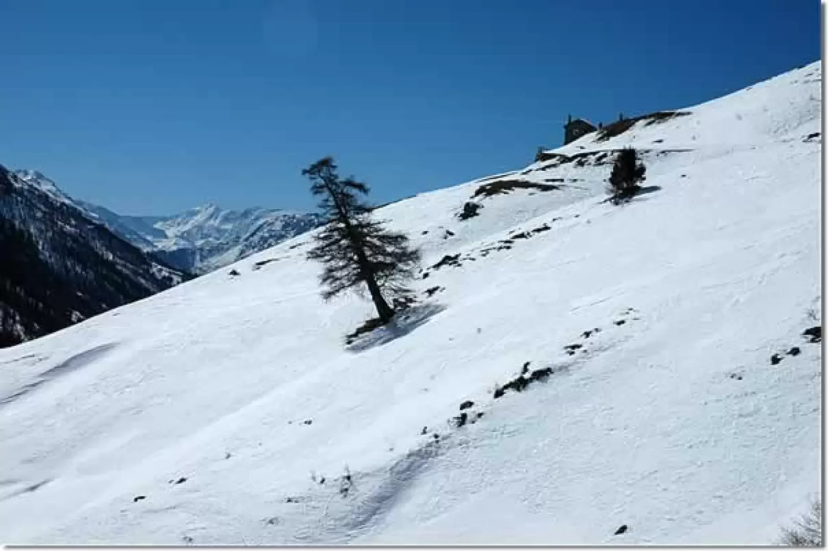
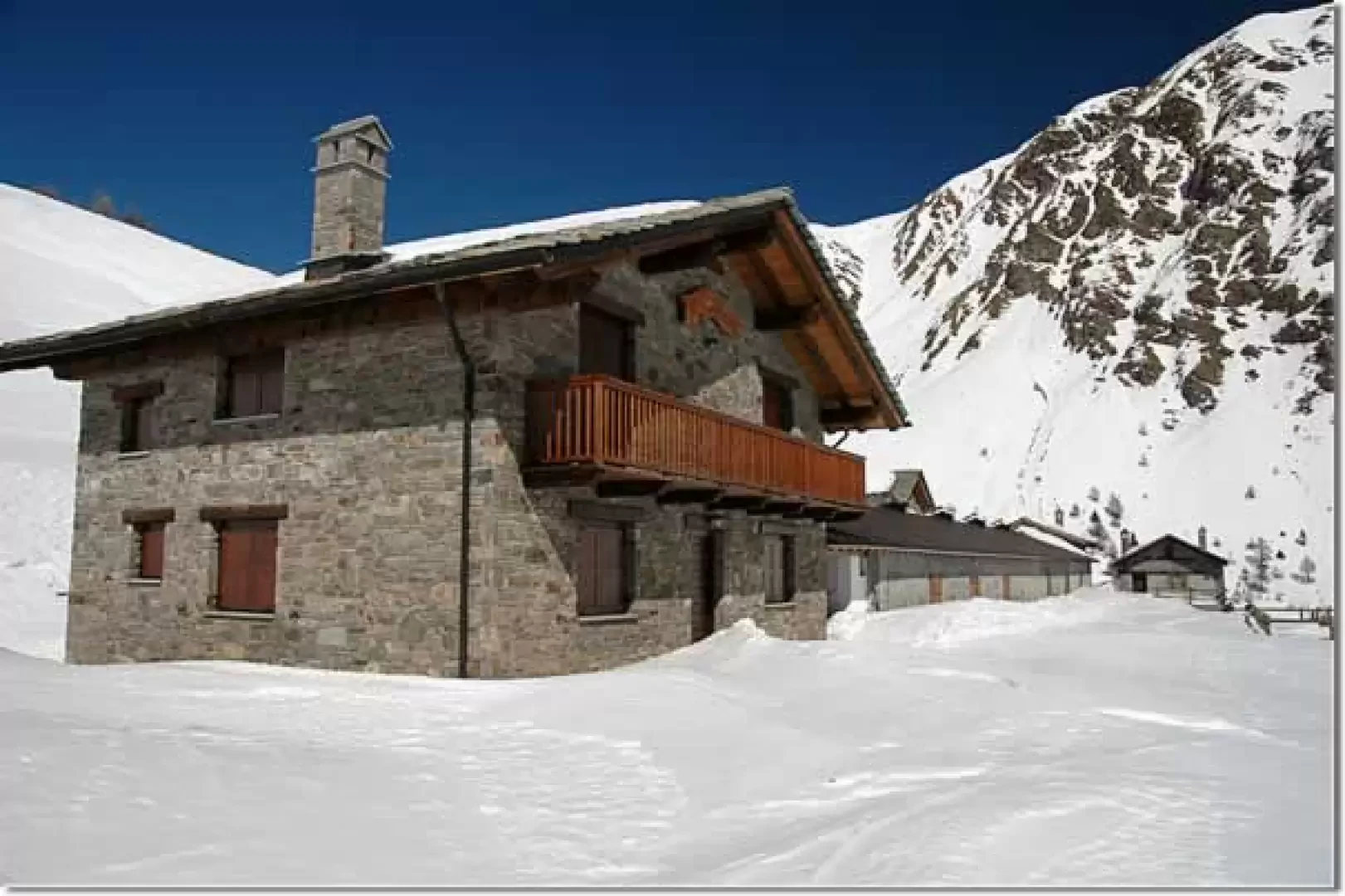
From Jovençan, start the ascent towards the upper part of the valley, still on the orographic left; after passing a wooden hut, the route climbs a short snowy slope and soon reaches the Chalet du Tronchey (1946m, 1h55') in the middle of a wooded scrub. Shortly afterwards you come out of the forest and meet the diversions to the right for the Vertosan pass, which should be ignored. By now the destination can be glimpsed, the Ruine alp is visible on the left. Continue towards the bottom of the valley, proceeding with a wide bend to the left that follows the stream coming from the Zioule lakes. At an altitude of 2064m, turn left crossing the stream and, proceeding slightly uphill, you will finally reach Alpe Ruine (2084m, 2h30').
From the mountain pasture, you can enjoy a beautiful view of the entire Comba di Vertosan and the distant peaks of the Valgrisenche. Attached to the alpine pasture is the Bed & Breakfast Alpe Ruine, a stopover point that is only open in summer.
The descent follows the same route as the ascent (2h00').
Inform yourself well about the snow and weather conditions before setting out on the route: up to Jovençan there are no particular problems, but the snowy slopes before Alpe Ruine should only be tackled when the snow has settled.
Riferimenti Bibliografici
- Tracce Lievi - Martini Massimo -
Photo gallery
Comments (0)
Sign in to leave a comment