Piz Grevasalvas
Introduction
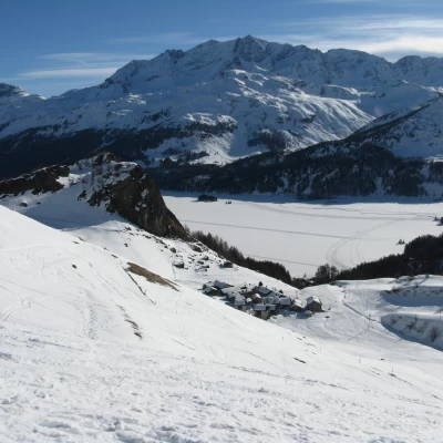
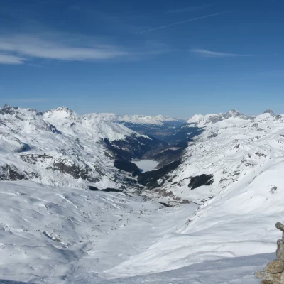
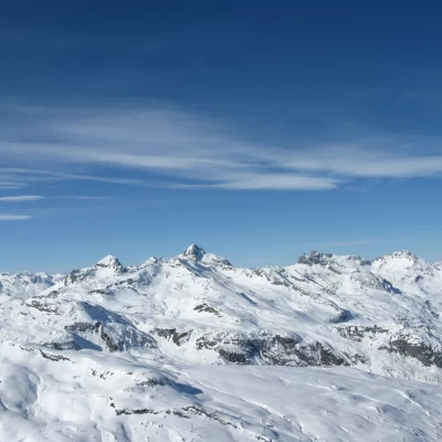
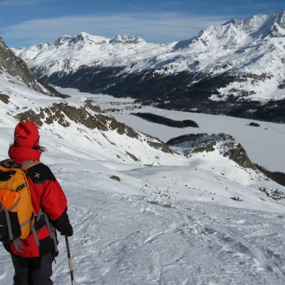
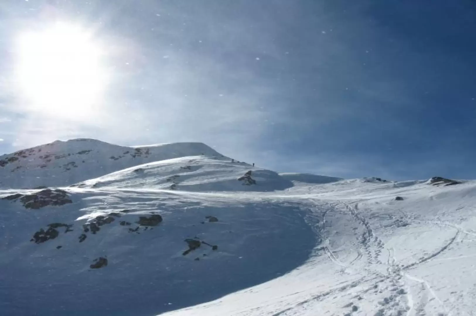
The Piz Grevasalvas, together with the Piz Lunghin, forms a wonderful ski tour destination in the Upper Engadin. The route runs in a north-westerly direction from the north side of Lake Sils and offers enchanting views of the lake and the peaks of the Bernina group, Val Bregaglia and the north faces of Piz Badile and Cengalo. The high altitude suggests spring as the ideal time, but in winters when snow is scarce the excellent exposure makes it perfect even in January-February. To be carried out, however, subject to verification of complete stability of the snowpack.
.Description
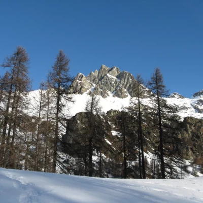
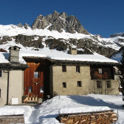
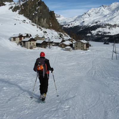
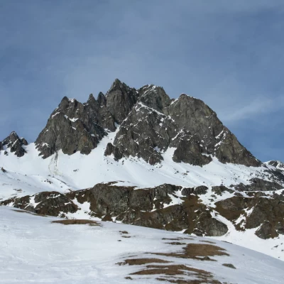
From the car park, walk up the forest behind the houses of Plaun da Lej along a winding road. You cross a bridge and turn right, and after leaving the forest and negotiating a few more hairpin bends, you reach the bucolic village of Grevasalvas (1941 m), which was the inspiration for writer Johanna Spyri in setting the Heidi fairytale. The village is situated on a beautiful terrace, over which looms the jagged Piz Lagrev (3165 m).
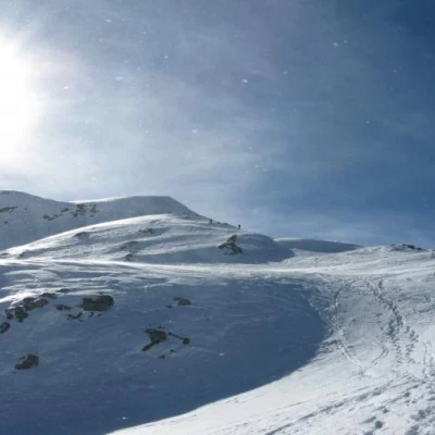
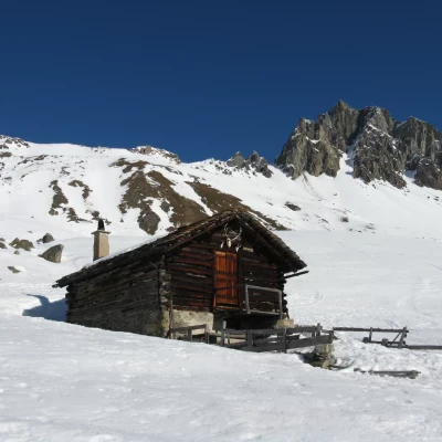
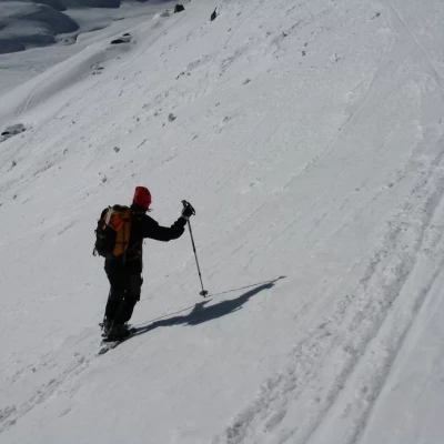
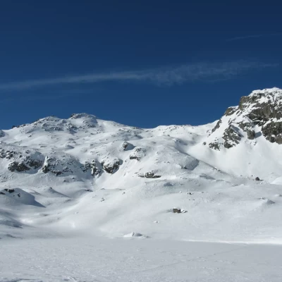
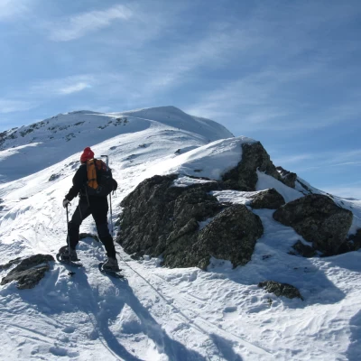
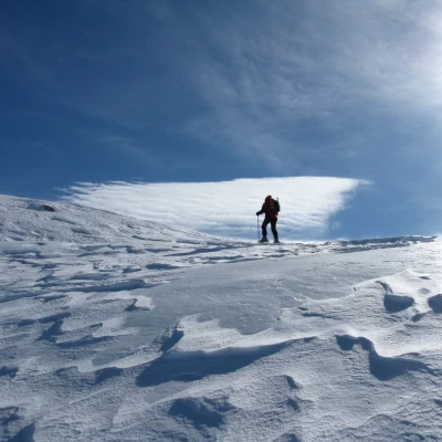
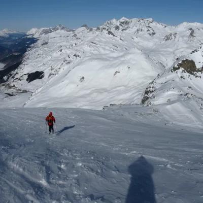
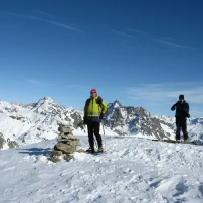
After the village, we ascend a fairly steep slope in a westerly direction. We come to a hut (Alp) from which we rise over large bumps to a false plateau. Continue to the left in the direction of a depression, which you follow to the right. This is followed by a long, steep traverse (more suitable for skis than snowshoes), beyond which you ascend decisively to the right over a jump that leads to the plateau on which the Lej Nair (2456 m) is located. Past this second depression, head left again (north-west); climb up other large bumps until you reach a second steep traverse that leads to the col at an altitude of 2839 m. With snowshoes, it is preferable to avoid this stretch and instead ascend to the right to reach the ridge, which is a little snow-covered and a little rocky, but nevertheless easy and safe. Having gained the col, turn north and climb up the wide snowy slope to the summit (2932 m), from which the impressive panorama repays the effort.
