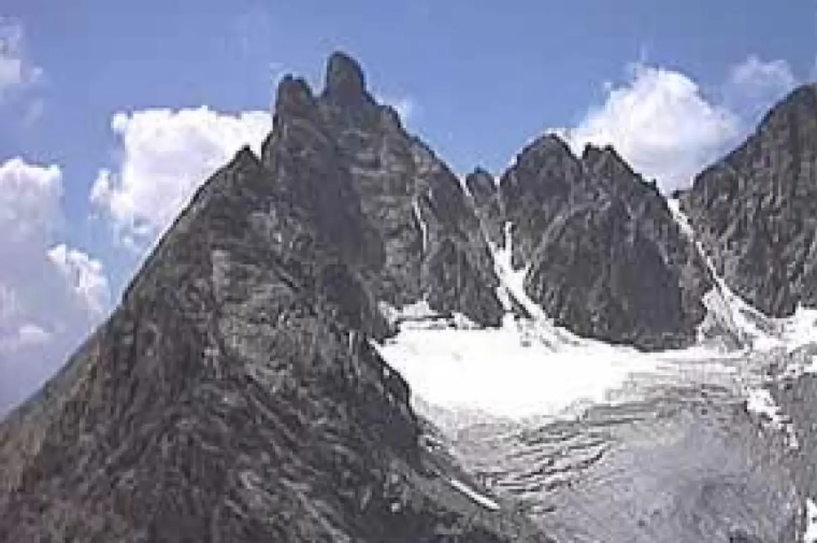
Punta Tsan

Introduction
Relatively easy and discontinuous route, the main difficulty derives from the pitons, which are only present in the areas where it is impossible to belay directly on rock blades or spikes, and from the altitude, which in bad weather makes it dangerous to return. Several overhead passages on the ridge line and the difficulty in finding the route at times recommend the ascent to experienced mountaineers or accompanied by people who have already climbed the summit.
Description
From Col De Fort (2908m) head along the ridge on scree until you reach the small rocks at the base of the wall. Climb along the crack that is not very visible from below but is well-handled, which slants to the left and widens out, leading to a first belay equipped with a rope (2930m). From here continue along the little path that runs along the ridge until you reach the base of the second wall (2980m) where you leave the ridge and go horizontally on the north side for about 5m until you find a bolt. Climb straight up over the bolt and, having passed the easy little wall (2995m), proceed conserve along the ridge. Go over 3m of smooth slabs to the left (3140m), cross the edge of the ridge over the glacier below and continue level (3150m) until you reach the face where a modest hollow in the whitish rock is clearly visible. Go over the sloping slab on the right (3195m) that lies to its side and then take the ridge line again until you reach the start of the traverse to the right that leads to the easy Rey slabs. From the belay (3210m) reach the spit placed at 3m on the left climbing the corbelled and well-handled slab. Go past two belays (3225m and 3240m) and reach the narrow, almost flat chimney dedicated to Maquignaz, at the end of which a belay at 3255m and a bolt placed 2m away allow you to climb a delicate and very exposed passage on the north side, followed by an easy slab that leads to the overhead ridge. Follow it more or less level and with a small jump you reach the foot of the summit tower (3295m) where, following the vertical crack 20 to 40cm wide, you first reach the belay equipped for abseiling and immediately afterwards the cross on the summit (3322m). Retrace You descend the summit tower by abseiling along the ascent route and, once at its base, follow the cairns and the trail markers (you will find a rappelling rope) that descend the steep gullies on the south side, paying particular attention because some of them end abruptly on vertical walls. When you reach the base of the wall, where there is a moderately sloping band of rock strewn with scree, proceed slightly downhill eastwards until you reach the view of the Col di Fort, from where traces of the path lead to the large bowl-shaped scree at the base of the Rivolta bivouac.
Trivia
The first documented ascent of the peak, via the north ridge, dates back to 26 September 1874 by Albino Lucat and the guide Vittorio Maquignaz; the route described here, from col di Fort via the east ridge, was opened in 1896 by Guido Rey and the alpine guide Antonio Maquignaz.