Turlin-Dessus, from Ozein
Access
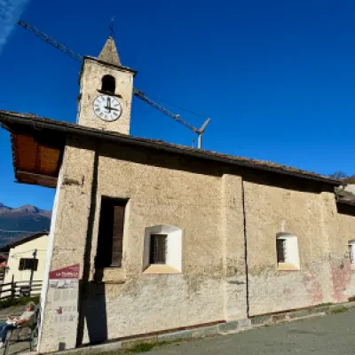
At the motorway junction of Aosta Ovest, turn right and take the regional road in the direction of Valle di Cogne. Drive through the village of Aymavilles and, after 1.5 kilometres, take the second exit at the roundabout. Continue on the regional road for another 4.1 kilometres until you reach the fork for Ozein. Turn left onto the municipal road which, after 4.9 kilometres, leads to the village of Ozein. There is a small free car park 🅿️ in front of the chapel.
[0h17'] - [10.5km]
How to get there with GMaps
How to get there with Apple Maps
The directions provided have been carefully checked as of the date the route was taken. However, it is highly recommended to check for any changes that may have occurred since then, especially regarding the route to the starting point. Before embarking on your journey, it is advisable to consult up-to-date navigation tools for accurate and up-to-date directions. We recommend the use of satellite navigation apps, such as Google Maps or Apple Maps, to ensure the most accurate and safe route.
Introduction
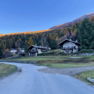
This simple and pleasant hike will lead you to discover the picturesque village of Turlin, located in the heart of the Aosta Valley mountains. Starting from the hamlet of Ozein, the trail winds its way through meadows and forests, offering walkers breathtaking views of the valley below and a total immersion in nature. The itinerary, accessible to all, is perfect for those who wish to spend a quiet day in the open air, far from the tourist hustle and bustle, and discover the authentic and unspoilt beauty of these places.
Description
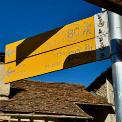
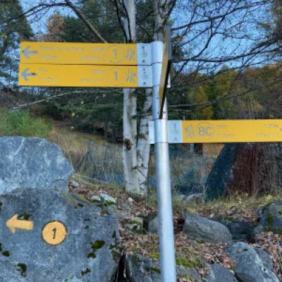
0h00' 0.00km From the car park head to the right of the Ozein chapel, pass the building and turn left. A short descent takes you to a marker post.
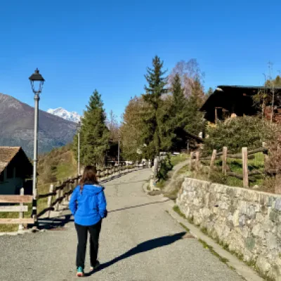
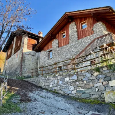
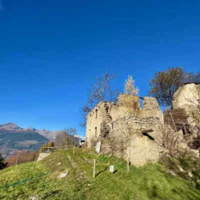
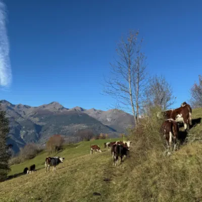
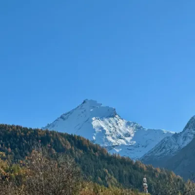
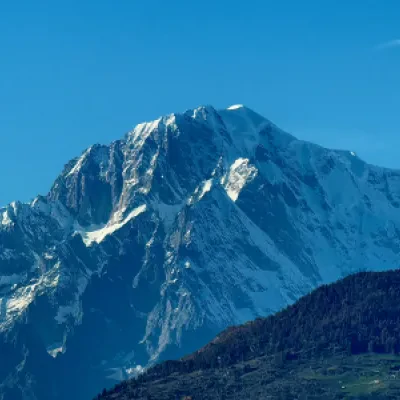
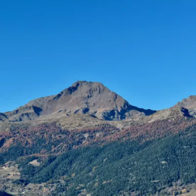
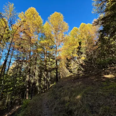
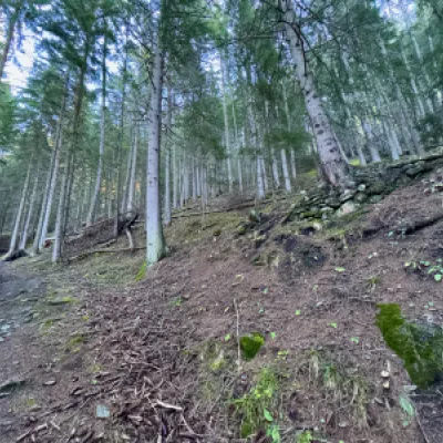
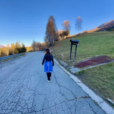
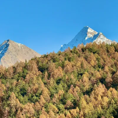
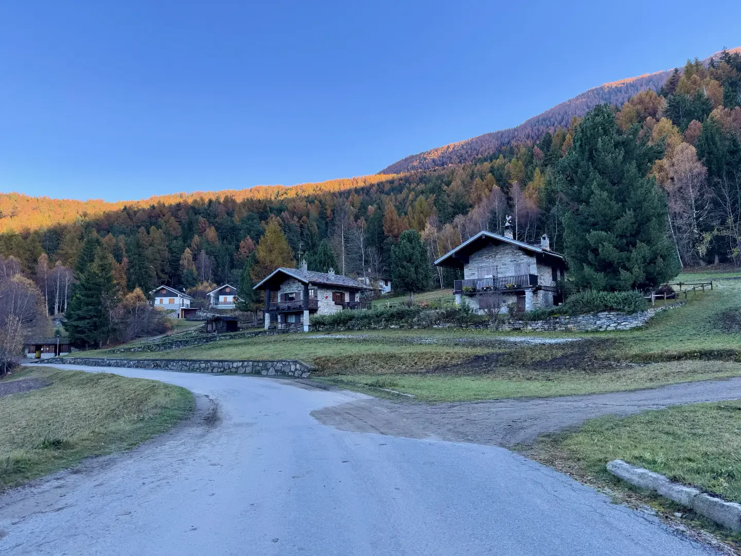
0h01' 0.05km Turn right and follow a small tarmac road through the village. Pass the hamlets of Posse and climb up a short stretch of steep road before turning left, leaving the road and taking a grassy path. Pass a crumbling building, turn right and then left at a light pole. Continue along the pastureland with beautiful views of the Grivola, Mont Blanc and the mountains surrounding Aosta. Follow the slight curve of the slope to the right to reach the entrance to the forest. The path becomes more evident and enters the forest, at first of larch (Larix decidua) and birch (Betula pendula), then of spruce (Abies picea) and fir (Abies alba). The path proceeds halfway up the slope with a slight increase in gradient just before reaching a new signpost.
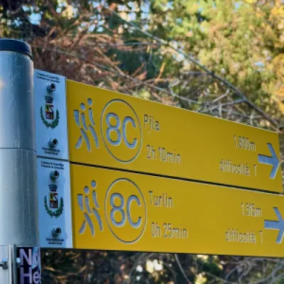
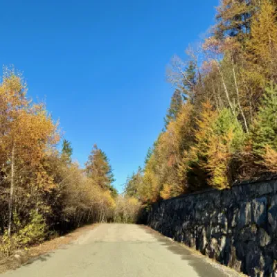
0h25' 1.52km Turn left onto the communal road to Turlin and follow it slightly uphill to level off and reach the pretty scattered village of Turlin-Dessus (1557m) 0h55' 3.04km .
The return is by retracing the same route followed during the ascent 0h45' 3.03km .
.Points of Interest
- Ozein
- The Chapel of Saints Theodul and Barbara
- Turlin dessus
