Tschawiner See, from St. Bernard


Edited by:
Maria Grazia Schiapparelli
Updated at: 03/09/2024
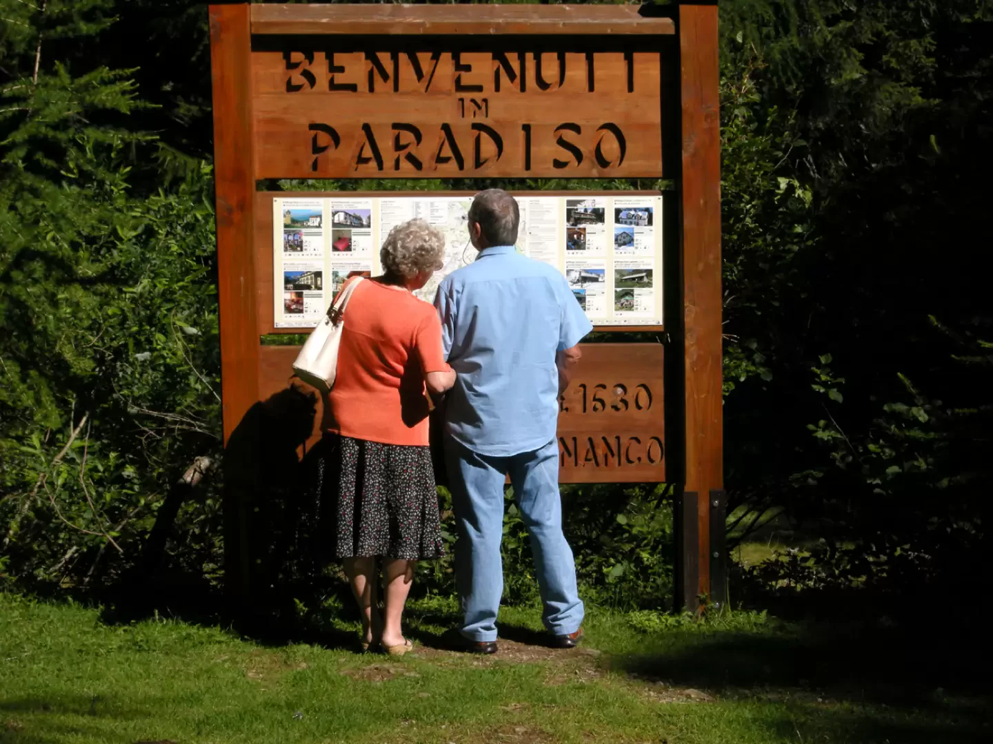
Access
Follow the Voltri Sempione motorway as far as Domodossola, when it becomes an motorway, and exit at the Bognanco sign. After a few kilometres along the valley floor, the road climbs up to Bognanco and its hamlets, then continues in tight bends to San Lorenzo and on to San Bernardo, with its little white church.
Follow the signs for the car park and leave the car.
Introduction
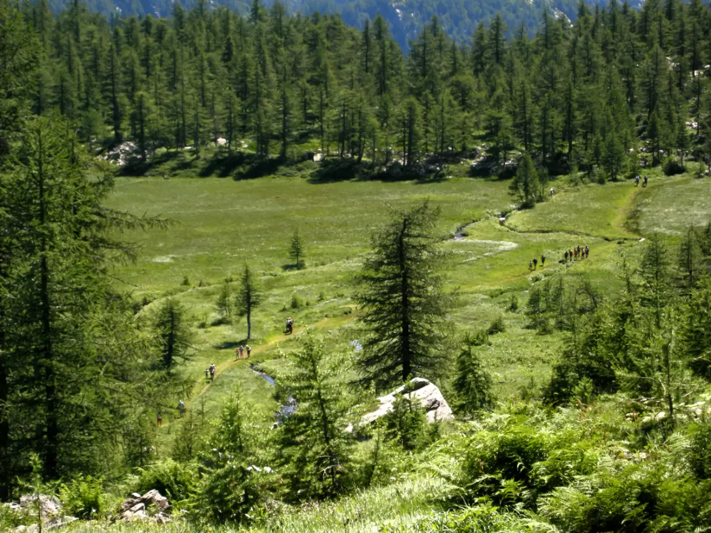
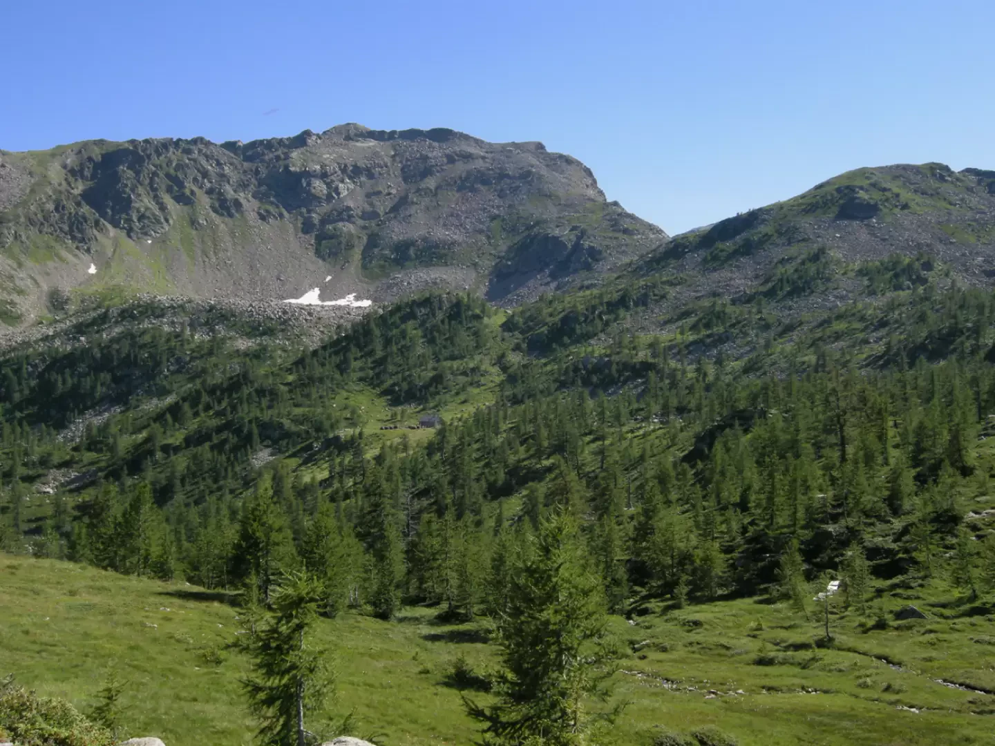
The Ossola valleys seen from the bottom of the valley seem harsh and rough, but when you climb to higher altitudes they offer exceptional views and priceless glimpses. You arrive at the start of today's proposed itinerary after several kilometres of narrow road in a narrow valley floor, but as soon as you get higher up, the horizons widen, the slopes soften, and delightful little lakes appear.
Description
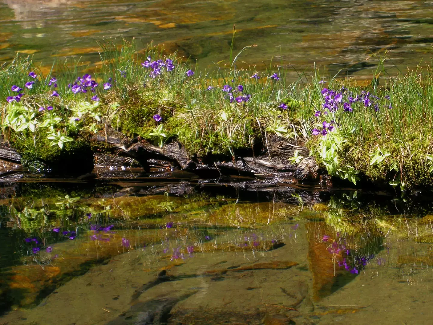
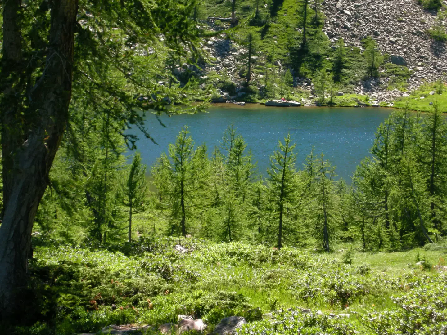
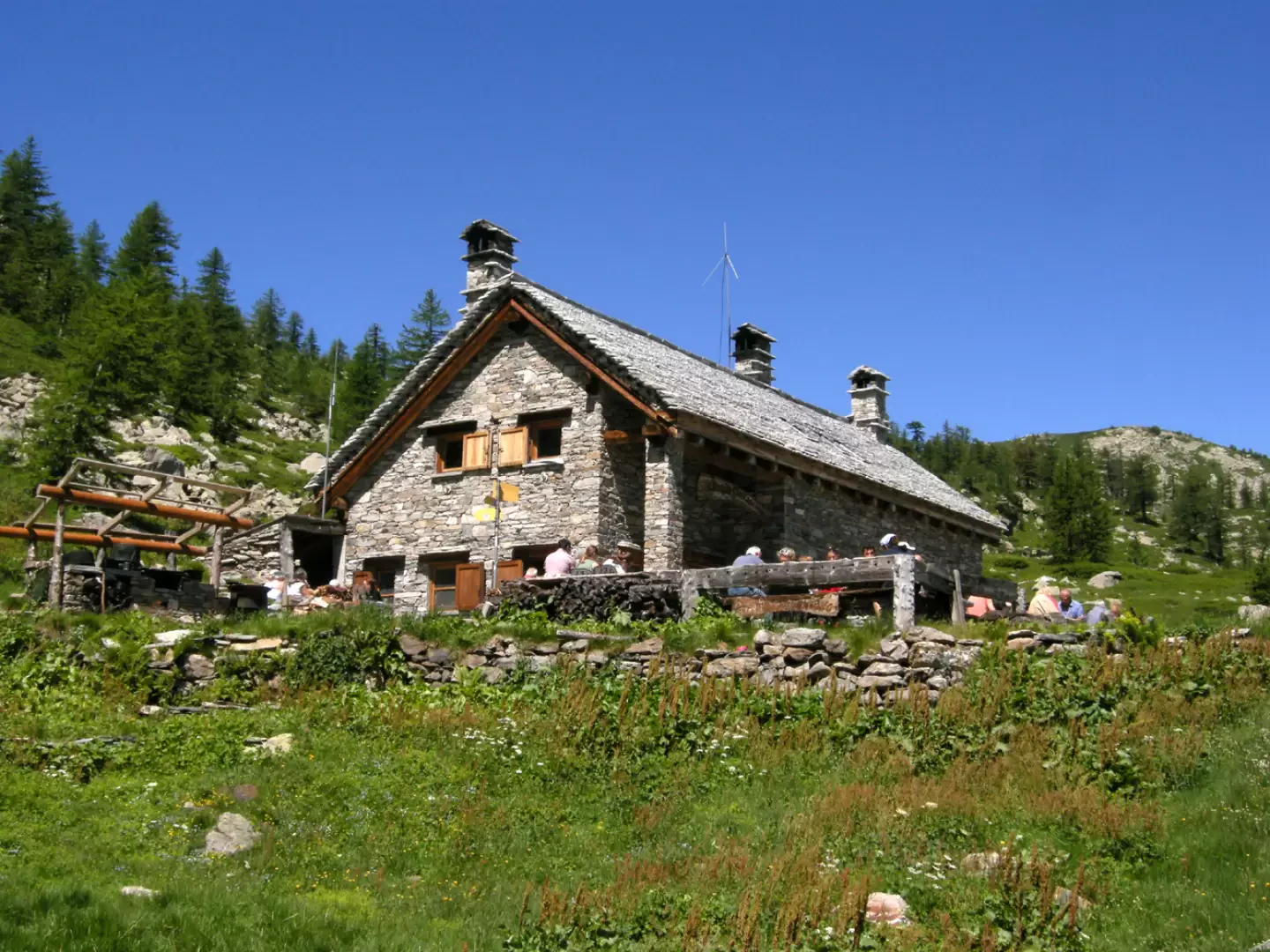
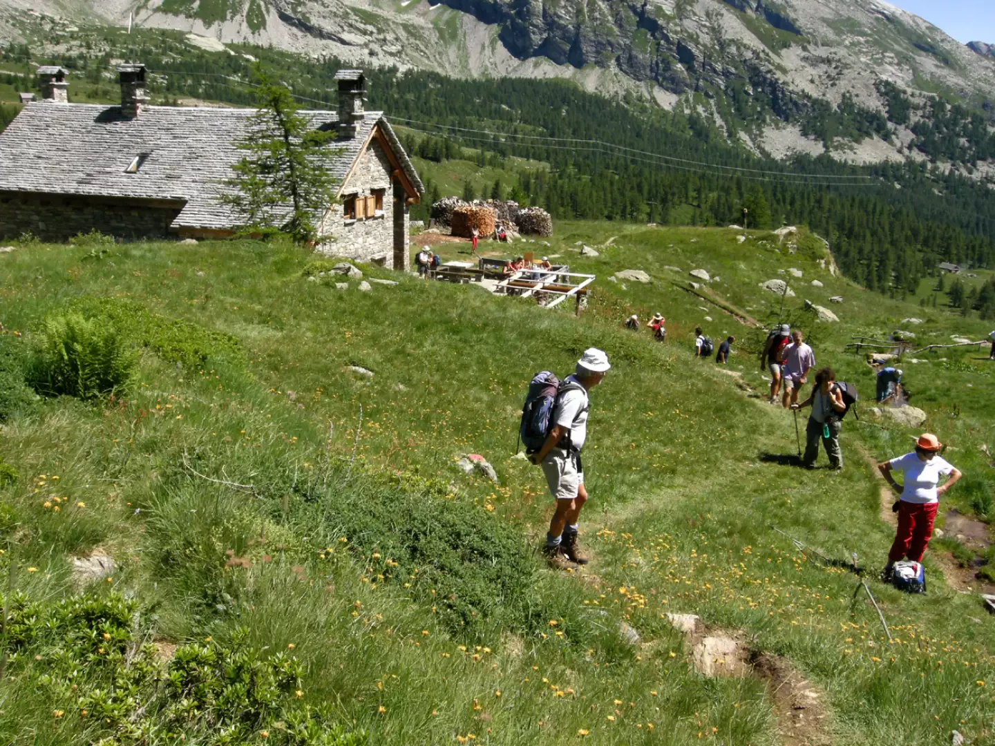
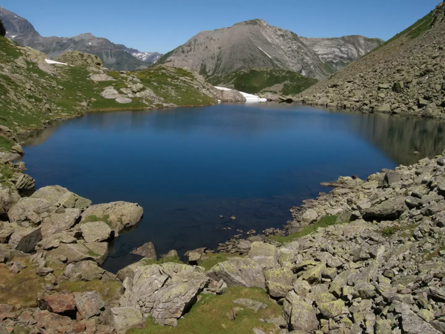
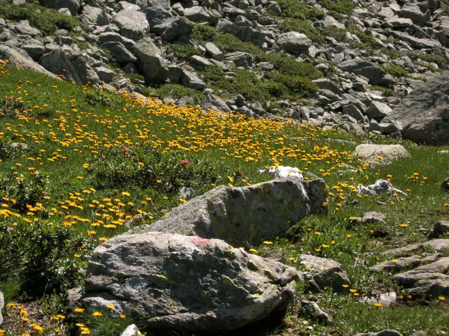
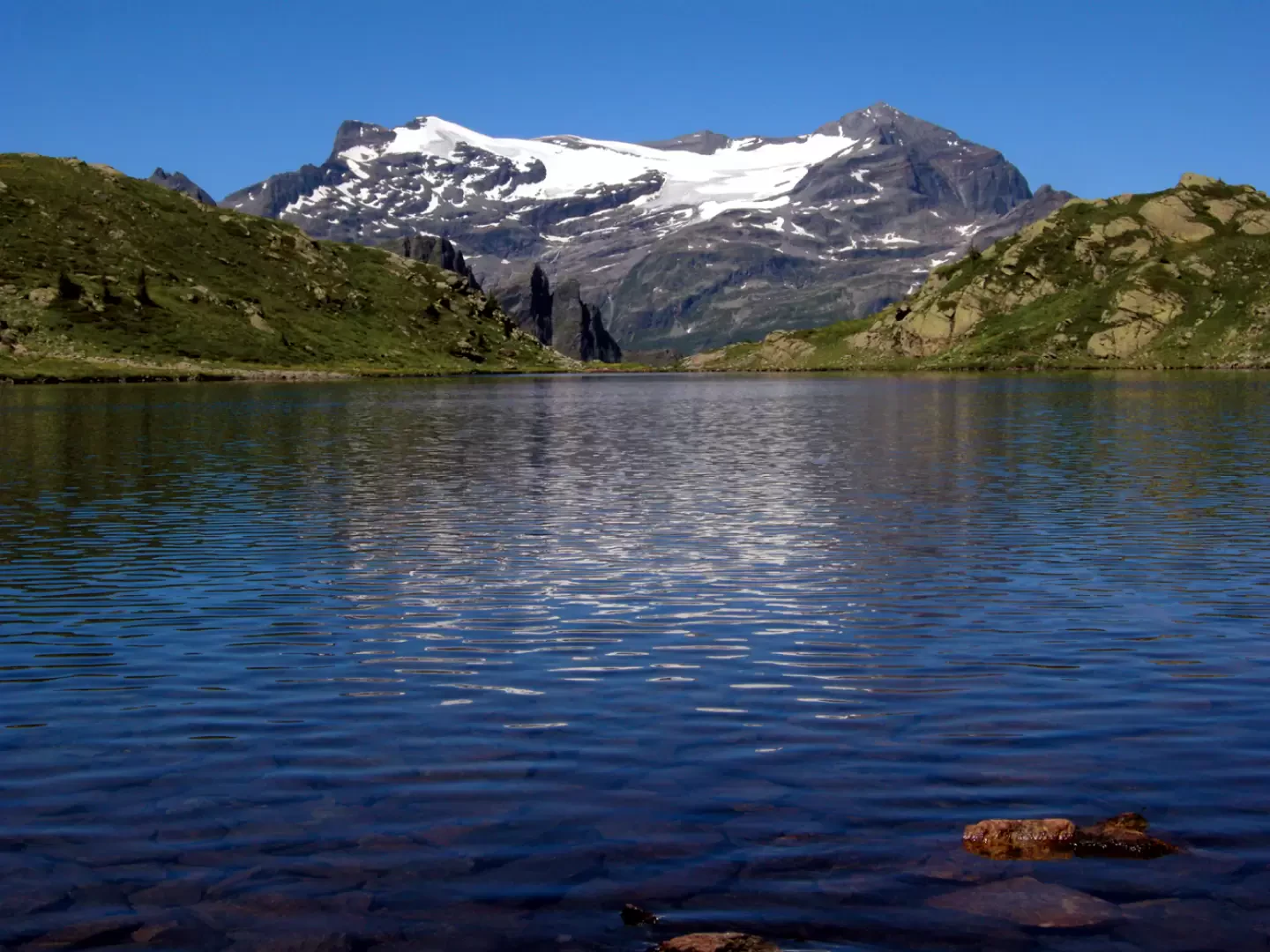
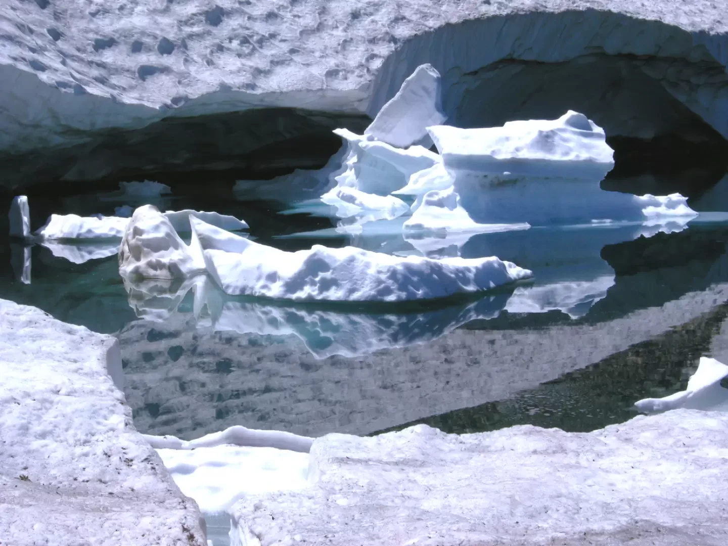
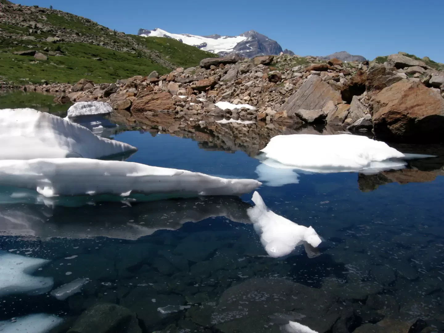
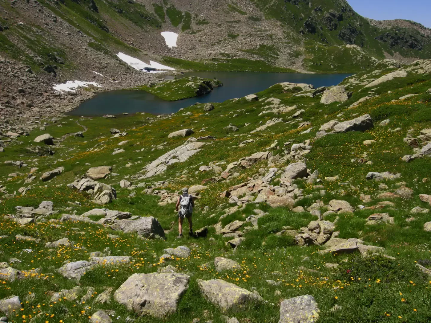
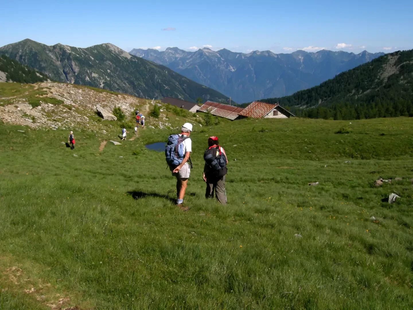
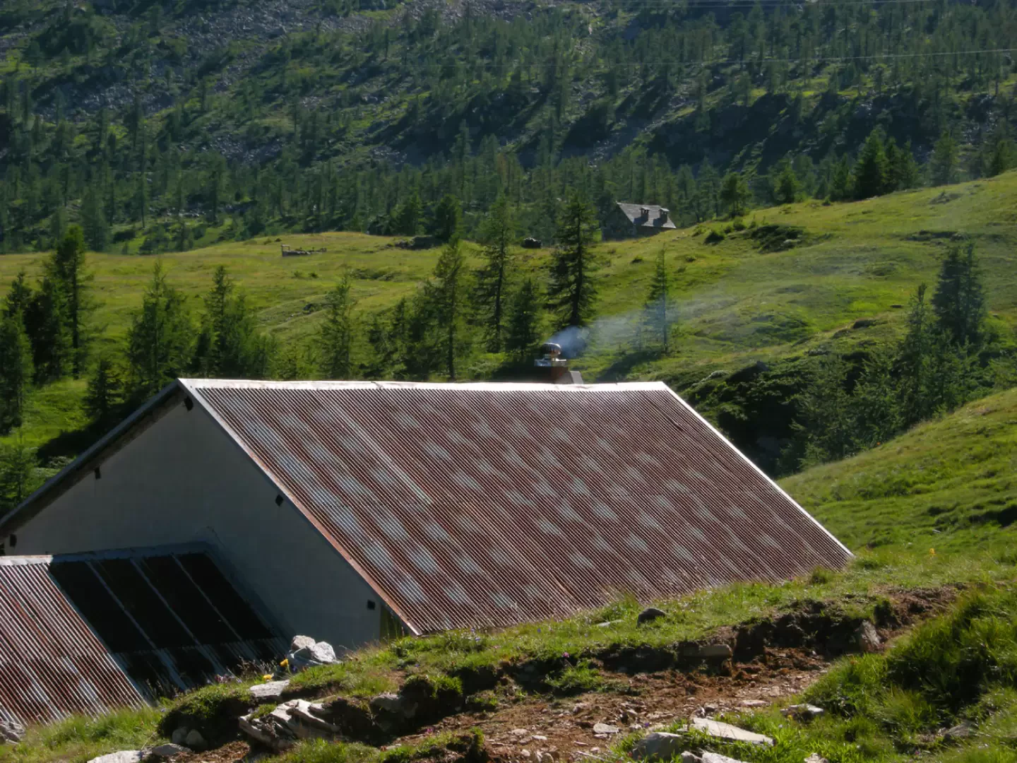
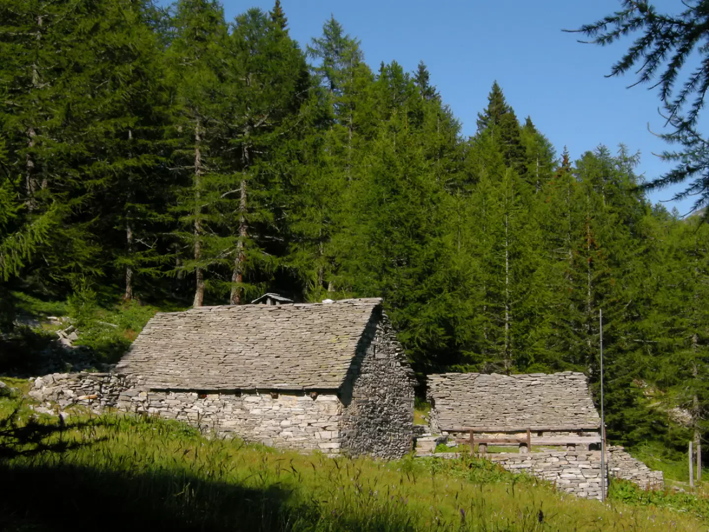
At the car park exit, follow the signpost for Lago Ragozza. The route continues for a few hundred metres on a shady, level dirt track, until you come to a junction at which you leave the road for the path that climbs to the right. With a gentle first section, we come to a steeper ascent until we reach a vast, damp plain, probably the site of a now-buried lake; we cross it and climb for a few dozen metres to Lake Ragozza, on the left. The lake is very beautiful, with tones between green and blue, and to the left, on an old log that ended up in the lake a long time ago, you can see a colony of penguins, which are reflected in the mirror of water; the pinguicola is a carnivorous plant. We continue right towards the Gattascosa refuge (1.30 from the car park); it is a beautiful stone building, with the classic Ossola granite roof, run by a Sardinian and a Valle d'Aosta woman. Outside a huge copper pot cooks polenta, and in front is a series of woodpiles in the shape of a nuraghe. We leave the refuge to our right and ascend to the pass of the same name, about 2150 m, which we reach in about half an hour. Below the pass, the remains of a large avalanche remain; we go around it on the left, climbing up the small rocks and helping ourselves with our hands; when the slope becomes gentler, we pass over the snow; behind the pass, it becomes clear why the lakes are called Tschawiner, of the Javines....The whole area, including certain stretches along the lakes, has wide rocky areas, or 'giavine', which require effort, caution and attention in order not to lose the marks on the large boulders, because there is no path here... We reach the first Vaira lake in five minutes, then ascending a half slope with path sections alternating with javines, we arrive at the second m. 2277, in which the Pioltone is reflected; in front of us, no less than three four-thousand-metre peaks, Weissmies, Fletchorn, Liggenhorn, and in the background, the omnipresent snow-capped Monte Leone. The green grass is thickly dotted with yellow flowers, and moving to the right, we cross a yellow pasture of flowers, with large patches of white buttercups...A wonder! From the edge of the pasture, about a hundred metres below us, is the largest of the Tschawiner See, with a snowfield that disappears into the blue of its waters, discharging blue icebergs...The spectacle is priceless, but we don't pass through here to go around the lake...We are at 2175 m, and three hours from our departure. The return is by the same route to the Gattascosa refuge (having to go up and down again, allow one and a half hours). From the hut, take the inter-passage road, at the beginning it goes up and down, then after the Monscera alps, it descends decisively; after about ten minutes from the start, it makes a wide bend to the left, but to the right there is a little path that cuts through the meadows and saves about ten minutes; at the Monscera alps, a look at the stupendous basin, the hut, Monte Verosso and Pioltone. Then, down the long cross-country track, which in an hour and a half will take us back to the car park, passing in front of the Dosso refuge, descending in steep hairpin bends, and again crossing ungently on the level.
.Photo gallery
Comments (0)
Sign in to leave a comment