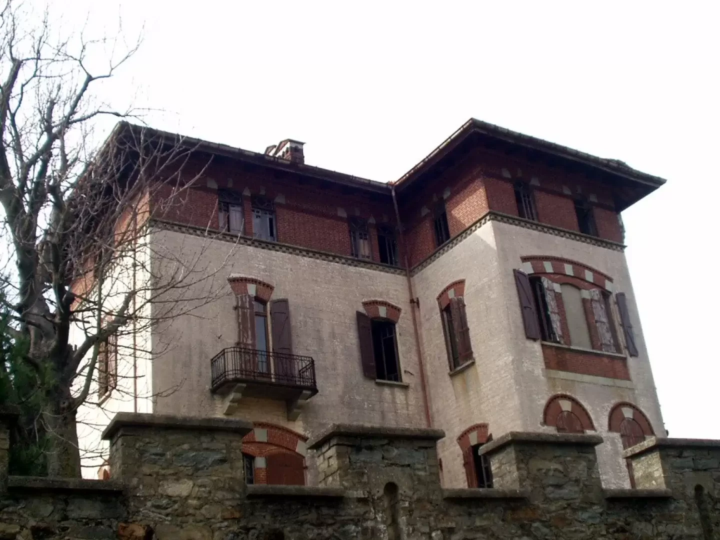
Bastia Tower and Ruby Castle
Access
At the Quincinetto exit of the motorway, turn onto the state road following it southwards as far as Borgofranco d'Ivrea. Turn left onto the provincial road following the signs for Biella. After a few hairpin bends, leave the provincial road and follow the state road to the right. Pass through the Termaina and Prà San Pietro tunnels and continue until just before the Serra Tunnel (car park on the right).
Introduction
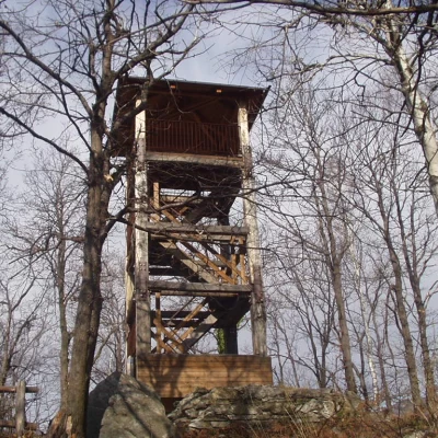
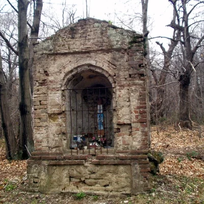
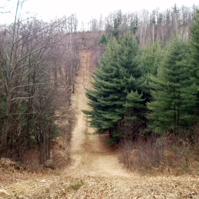
The proposed itinerary takes you to visit a part of the northern Serra, set in the characteristic Ivrea Morainic Amphitheatre and one of the longest and straightest glacial moraines, and its ridges (morainic circles). The hike initially climbs along the 'Strada (or Via) del Commercio', used until 1800 for communication between the Canavese and Biellese areas, and reaches the 'Torre della Bastia' and the Castello Rubino (or Croce Serra). The descent is made in a wide loop, partially on an asphalted road, passing by some small lakes and following some stretches of 'fire tracks'. Historical notes The Bastia Tower was built, by order of the Bishop of Vercelli, in 1296 by the inhabitants of Sala Biellese and Donato in order to control the pastures, waters and neighbouring roads. It was completely destroyed in 1308 by the inhabitants of Andrate, Bienca and Chiaverano, tired of the usurpations they had suffered.
Description
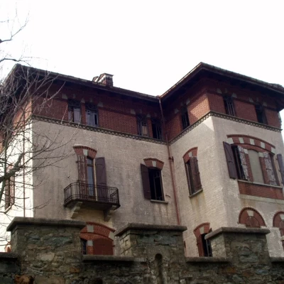
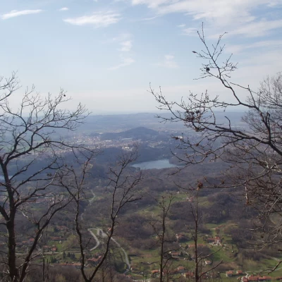
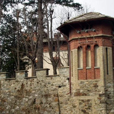
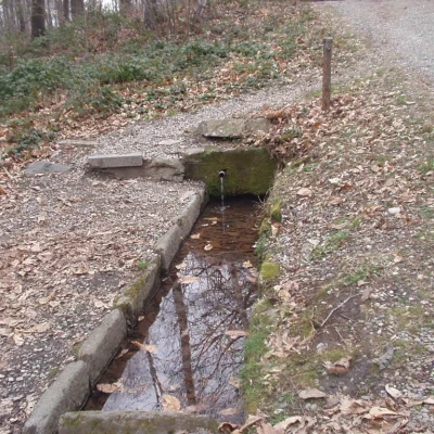
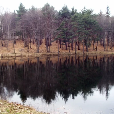
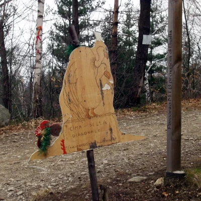
From the Serra Tunnel car park (590 m) walk along the tarmac road to Andrate. At the first bend, take the dirt road on the right. After a couple of minutes, at Fuiru, turn left and wind your way up the beautiful paved road. Continue on a long traverse to the east to reach the fork for 'Torre della Bastia - via cresta Ovest'. Keeping to the left, follow the elementary ridge to reach the Torre della Bastia (782m, 0h30'). It is worth climbing the stairs of the tower to enjoy the panorama below. Proceed north-west along the easy ridge, ignoring the old road to Donato and the mule track to Rebbia on the left, and, walking a short distance from the tarmac road, you reach the east tower of Castello Rubino (or Croce Serra) (853m, 0h50') (to get a closer look at the castle, it is advisable to walk along the entire north-east side of the walls as far as Passo di Croce Serra). Return along the ridge along the tarmac road to the Torre della Bastia near Cascina Preti. Go up to the right, towards the remains of the Stagno della Bastia pond, and turn immediately left following the signs for "Torre della Bastia - via cresta Est", as far as Passo dell'Oca (753 m,0h30'). Taking the dirt track to the left, in a few minutes you reach the asphalted road again. Follow it to the right for a few hairpin bends to the junction with the GTB and mountain bike route 9, near the "Fontana da l'Piciorlet". Continue eastwards towards Sala Bielesse, pass Pilone Moiasacco and continue to the junction of the next fire trail. Following the track to the right, pass by the small "Cossavella" lake - dedicated to Cav. Rolando Cossavella, a well-deserving mayor of Sala Biellese - (680 m, 0h50') and the subsequent Pré (or Apré) Lake. Proceed up and down to the pass known as "La X" or Cima della Diagonale (732 m, 1h05'). Now take the dirt track to the right and, after a few metres, continue to the right along the ridge. Where the dirt track ends, turn onto the little path to the left and, immediately afterwards, take a path to the right that leads back to Passo dell'Oca (753 m, 1h20'). Now descend to the left, passing by the barrage of the remains of the Stagno dell'Oca, rejoin the paved road taken on the outward journey, then descend to the car park of the "Galleria della Serra" (590 m, 1h 20').
