Leave the motorway at the Nus toll booth, or reach Nus via the . From Nus, cross the bridge over the Dora Baltea and continue towards Brissogne. Head up towards the hamlets in the municipality, passing through the village of Grand Brissogne, and, keeping to the right, follow the tarmac road which, near a hairpin bend to the left, turns into a dirt track: here, a sign prohibits access to unauthorised vehicles. [to be completed]
Car park
At the bend where the tarmac road turns into a dirt track, there is a small car park 🅿️ with space for just a few cars. If there are no spaces available, leave your car in a lay-by about 1 km further down the road, along the same route.
Access by public transport
To reach the starting point of the route, you will need a private vehicle, as the area is not served by public transport.
The directions provided were verified on the date the route was mapped. Before setting off, we recommend checking for any changes to the route or road conditions. For up-to-date information, please consult Google Maps or Apple Maps.
Introduction
A linear route that climbs the entire length of the Laures valley, above the village of Brissogne, up to Becca di Salé, on the southern ridge of the Grande Roise massif. Along the ascent, you pass the Vieille and Tramail mountain pastures, the Lower Lake of Laures and the Ernesto Menabreaz Bivouac.
The first section follows a dirt track to the Laures hydroelectric power station. From here, the path climbs through the woodland at the bottom of the valley, enclosed by steep slopes that keep it in shade until late morning, and crosses the Laures stream several times via wooden bridges. Beyond the tree line, the route continues over rocky terraces and grassy slopes to the lake and the bivouac. From the bivouac, the route is not consistently signposted: the ascent to Colle di Salé crosses a debris cone and a landslide channel, then the southern ridge leads easily to the summit, marked by a large cairn.
The total elevation gain is considerable, but the ascent is direct and without long flat sections: it can be completed in a day, or with an overnight stay at the bivouac, which has a water tap. The recommended time of year is late summer, when the gully is free of snow; if there is snow, the route requires an ice axe and crampons. The section between the bivouac and the pass, over scree and without reliable signposting, requires experience in navigation and sure-footedness.
Description
0h00'0.00km From the hairpin bend with the ‘no entry’ sign, where a signpost indicates the Menabreaz Bivouac is 4h30’ away, continue along the dirt track that enters the Laures valley, first with a long traverse, then with a series of hairpin bends.
1h10'3.02km Reach the Laures hydroelectric power station. On the right, next to a ruined hut, take the path that climbs steeply through the woods: the rock faces enclosing the valley keep it in shade until late morning, even in the height of summer. Continue uphill, crossing the Laures stream several times via wooden bridges.
1h40'3.64km Reach theAlpe Vieille (1,623m), with a fountain 💧, and continue amongst sparse larch trees (Larix decidua).
2h40'4.55km Reach Alpe Tramail (1,951m), at the foot of Becca di Seneva, with a fountain 💧. Cross further bridges and emerge from the woodland, continuing amongst boulders and meadows until you reach a junction.
3h10'5.27km (1,131 m elevation gain) (46 m elevation loss)
Ignore the more direct path
, which climbs to the gorge where the Laures stream flows out of thelake of the same name, and take the path
on the left, which winds its way up the rocky terraces in numerous bends.
3h45'5.82km
Cross a gully, which may be covered in snow at the start of the season; cross it again a little further up to the left and climb the now easy slopes up to the grassy plateau containing the Lower Lake of Laures (2,544m).
4h25'6.62km (1,548 m elevation gain) (50 m elevation loss)
Walk along the plateau keeping to the left, losing about 30 m in altitude, until you can see the bivouac behind a grassy ridge.
4h30'7.32km
From the Ernesto Menabreaz Bivouac (2,546m), with a fountain 💧, follow the
trail marker, signposted at the start by a few arrows on the boulders; do not continue along the lake on path
. Gradually turn left into the debris cone between Becca di Salé, on the left, and Petite Roise, on the right. Ignore a reddish gully visible from a distance: the ascent gully only appears further on. Following the sparse cairns, or the easiest route, climb through scree and debris, initially keeping to the left, where grassy and earthen ridges offer a more stable surface than the stony ground. Head towards the reddish gully until you reach a small grey rock face separating it from the ascent gully, situated to the right: the passage appears blocked, but continues without difficulty. Watching out for any ungulates on the cliffs above, climb up the gully, first following tracks on the right-hand side next to the small rock face, then, where the gully widens, freely over loose ground but without any difficult sections. Where the gully narrows again, exit to the right, traversing a few metres of loose ground, and reach the vast, less steep scree slope below the hill: keep to the right-hand side, as there are precariously balanced boulders on the left. A few cairns appear in this area. In snowy conditions, the gully requires an ice axe and crampons.
6h10'8.46km
Climb the approximately 100m elevation gain over scree to Colle di Salé (3,008m). With the summit now close by on the left, the terrain becomes easy: climb along the southern ridge, passing a metal arrow marking the path
just before the summit, and reach the large cairn on the summit of Becca di Salé (3,137m) 6h35'8.74km .
From the bivouac, you can extend the walk by climbing up to Lago Lungo (2,630 m), which you will have already seen from above during the ascent.
The return journey follows the same route as the ascent. Between the summit and the pass, follow the ascent track; whilst descending the gully below the pass, look out for the cairn marking the correct entrance. There is a spring 💧 at the bivouac, and you’ll come across two more along the descent 3h30'17.51km (75 m elevation gain) (2,129 m elevation loss).
Bella salita veloce sulla Becca di Salé. Fino al bivacco Menabreaz sentiero in perfette condizioni, poi la salita alla Becca presenta qualche difficoltà nel reperimento della traccia: i bolli gialli in realtà ci sono (radi) ma è molto facile perderli. Arrivati al Col de Salé la salita finale avviene in ambiente roccioso ma senza particolari difficoltà alpinistiche. Nel complesso la salita va comunque affrontata con molta attenzione, visto l'ambiente detritico.
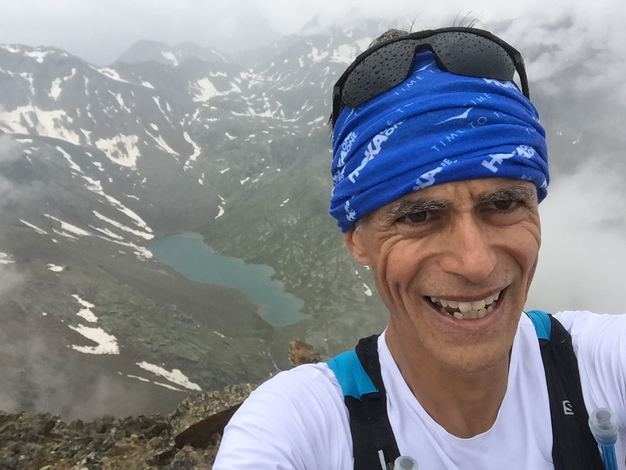
In vetta sicuramente un panorama impagabile... ma dopo il selfie di rito ho sentito un bel tuono ed ho affrontato subito la discesa. Per il panorama mi toccherà tornarci un'altra volta ;)
Informazioni generali
Condizioni via o sentiero: perfette sino al Bivacco Ménabreaz, poi itinerario intuibile ma scarsamente visibile sino alla sella finale (palina): da li non ci si può più sbagliare Pericolo Oggettivo: il pendio di salita è insidioso per via dell'ambiente detritico Tratti esposti: il pendio è ripido ma non vi sono tratti in esposizione marcata Affollamento: escursionisti presenti in zona bivacco, poi solitudine assoluta
Condizioni meteo
Cielo: nuvoloso poi temporale (affrontato al caldo del bivacco)

Comments (0)
Sign in to leave a comment