Ru de Chétoz, from Les Faverges


Edited by:
Massimo Martini
Updated at: 19/04/2025
Introduction
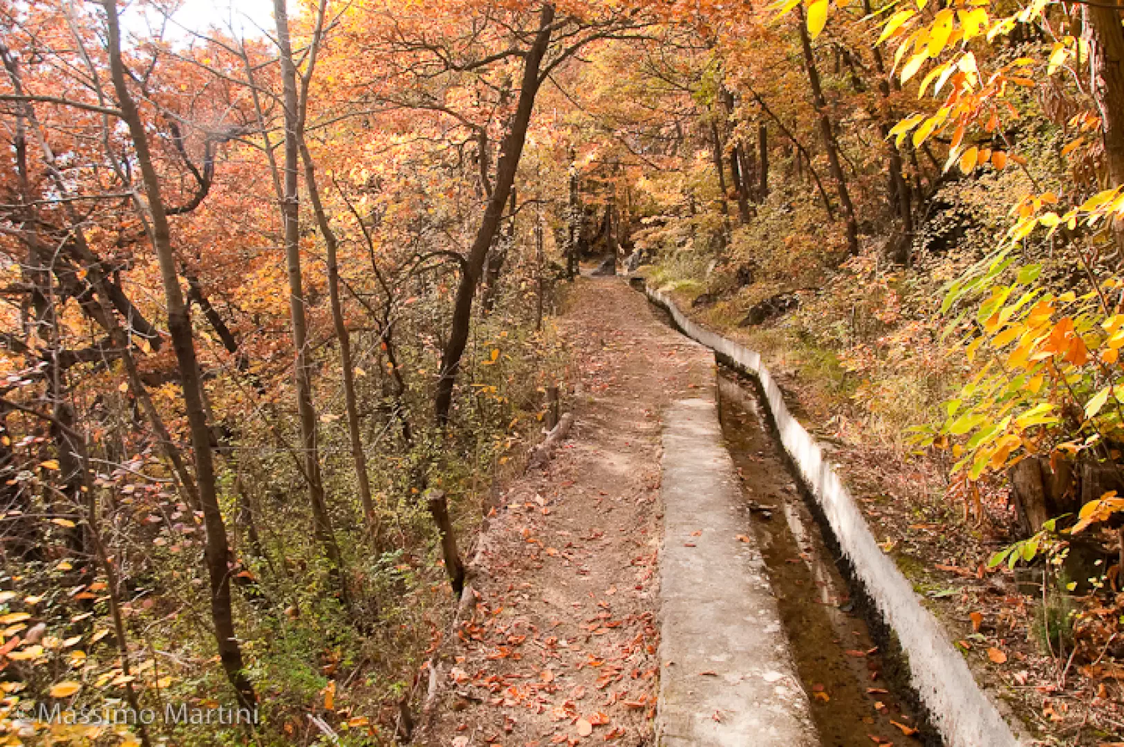
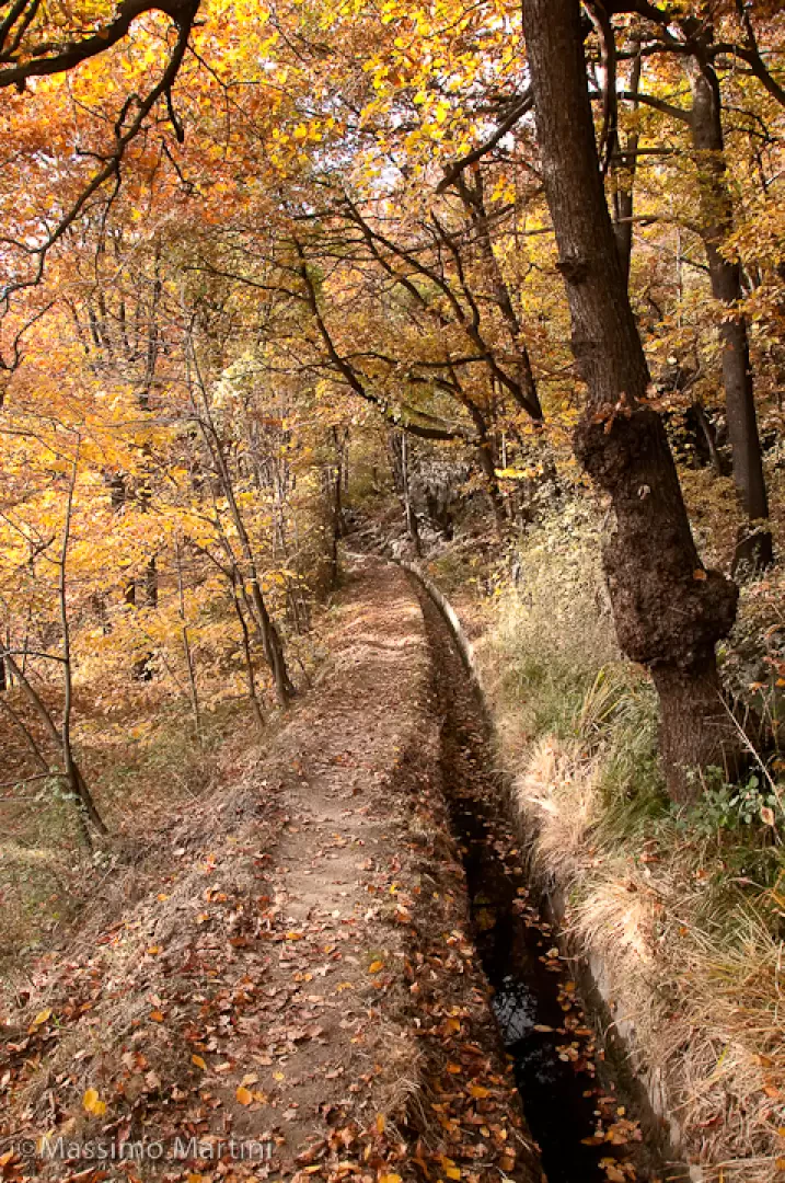
A pleasant walk along the Ru de Chétoz. This ru used to supply water from the Saint-Barthélemy basin to the arid lands of the Quart villages. Nowadays the ru, partially buried, has only a recreational purpose and this walk allows you to walk along a large part of it.
Description
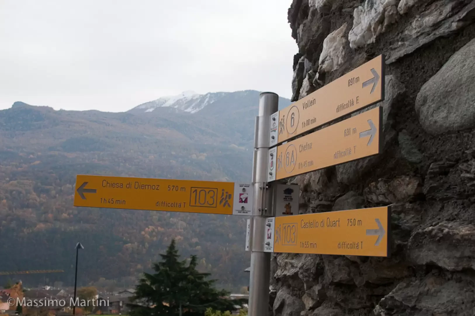
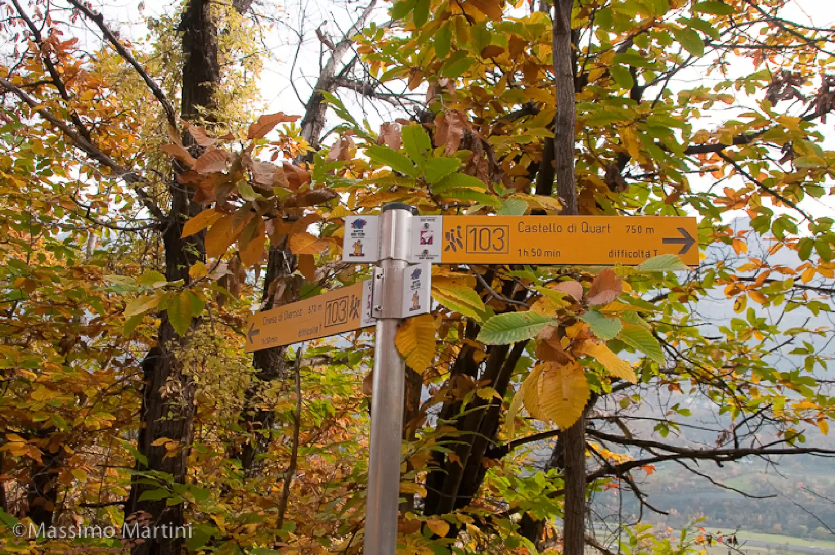
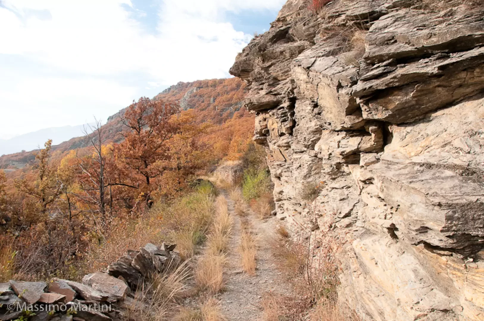
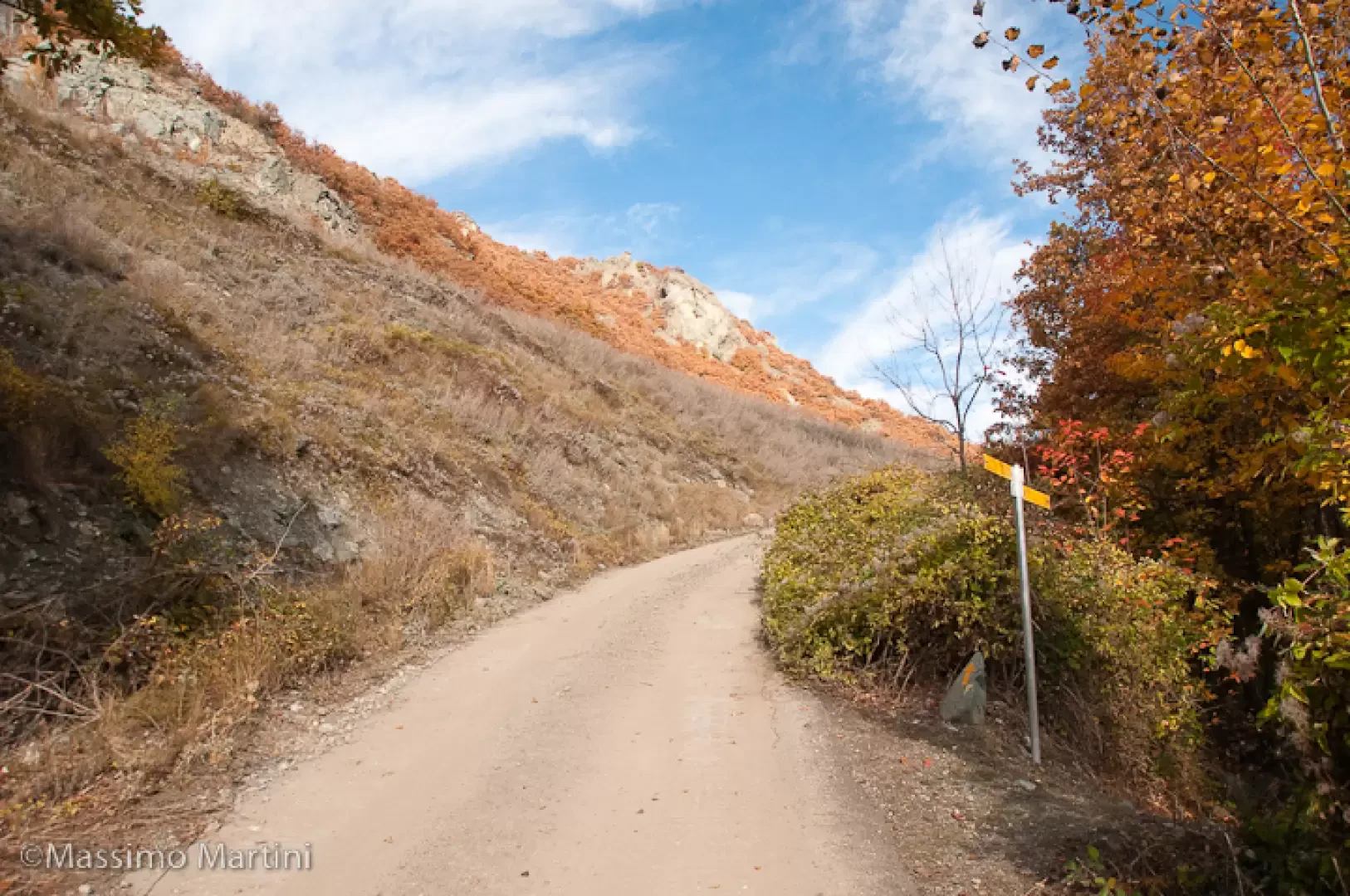
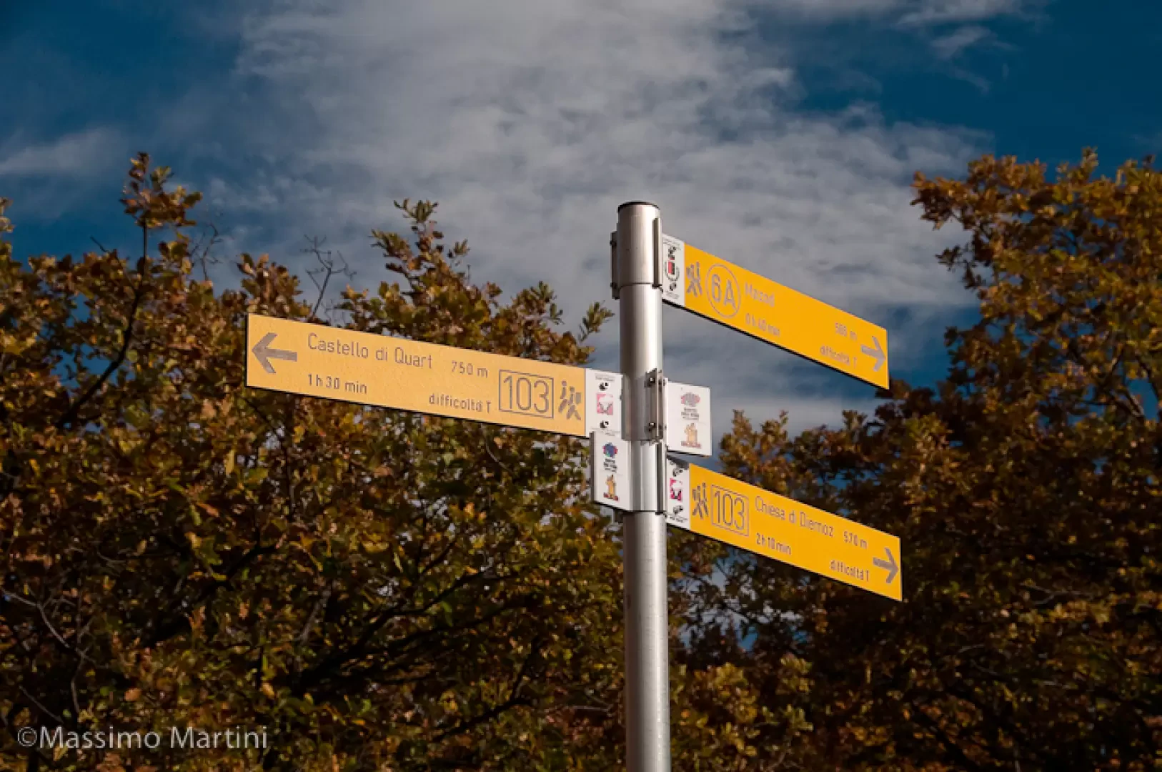
Leave the car behind and take the mule track that climbs the steep right-hand orographic slope of the Saint-Barthélemy valley with a few hairpin bends. After a few glimpses of the Castle of Nus, perched on the opposite slope, you reach a fork in the road: turn left and start walking along the path (6A).
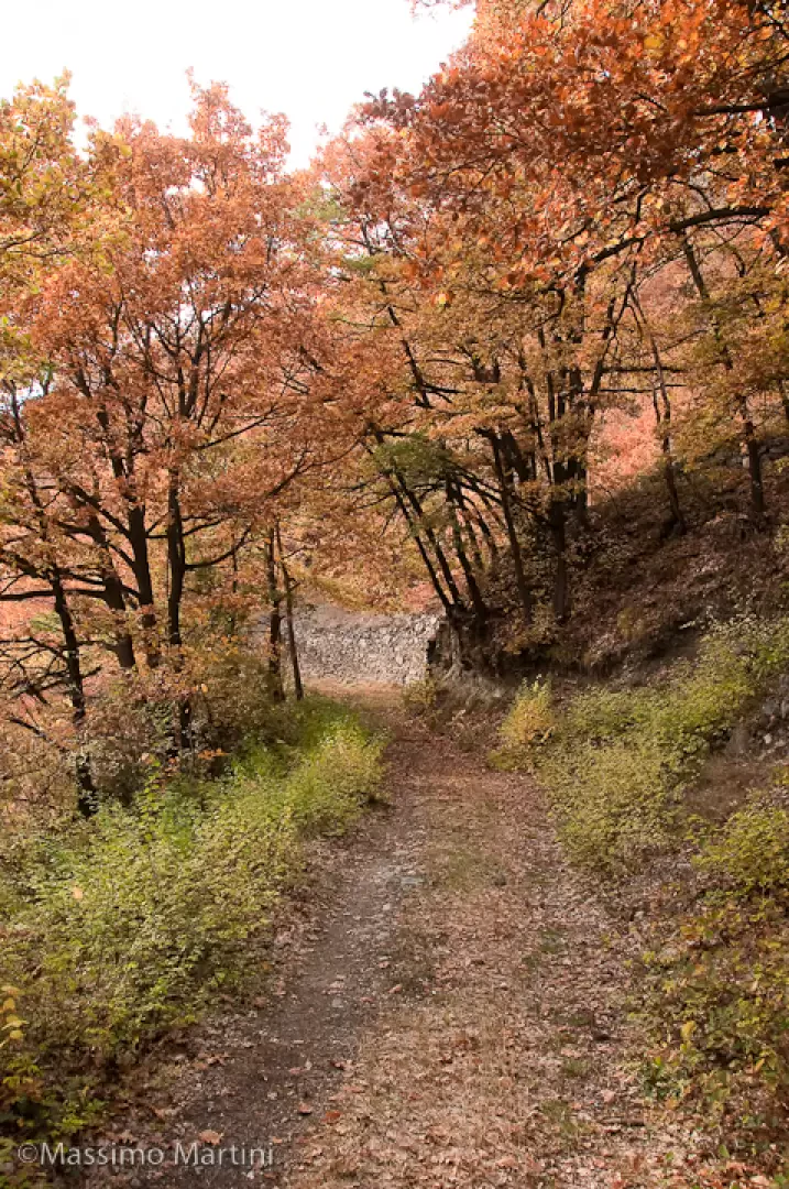
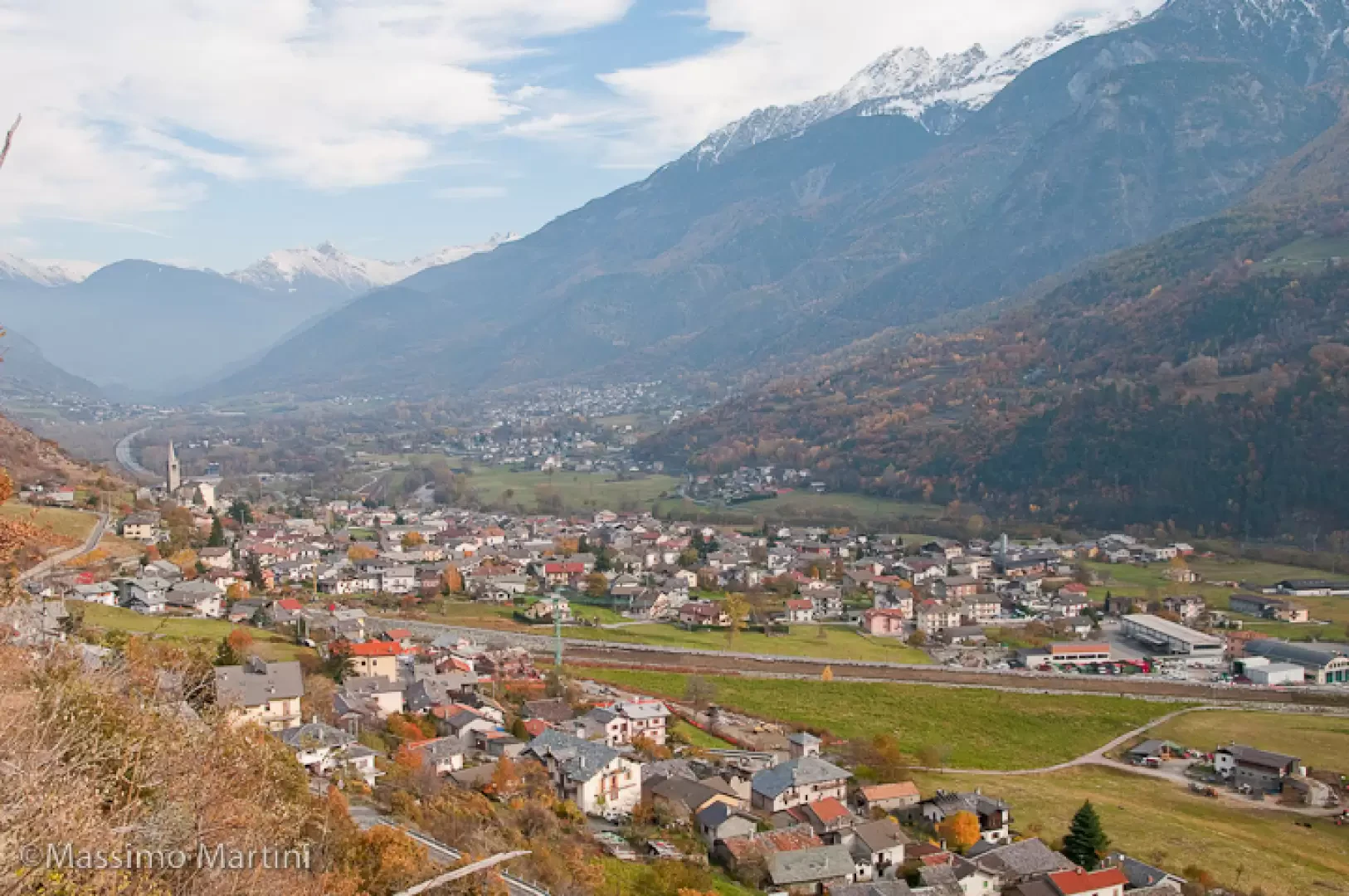
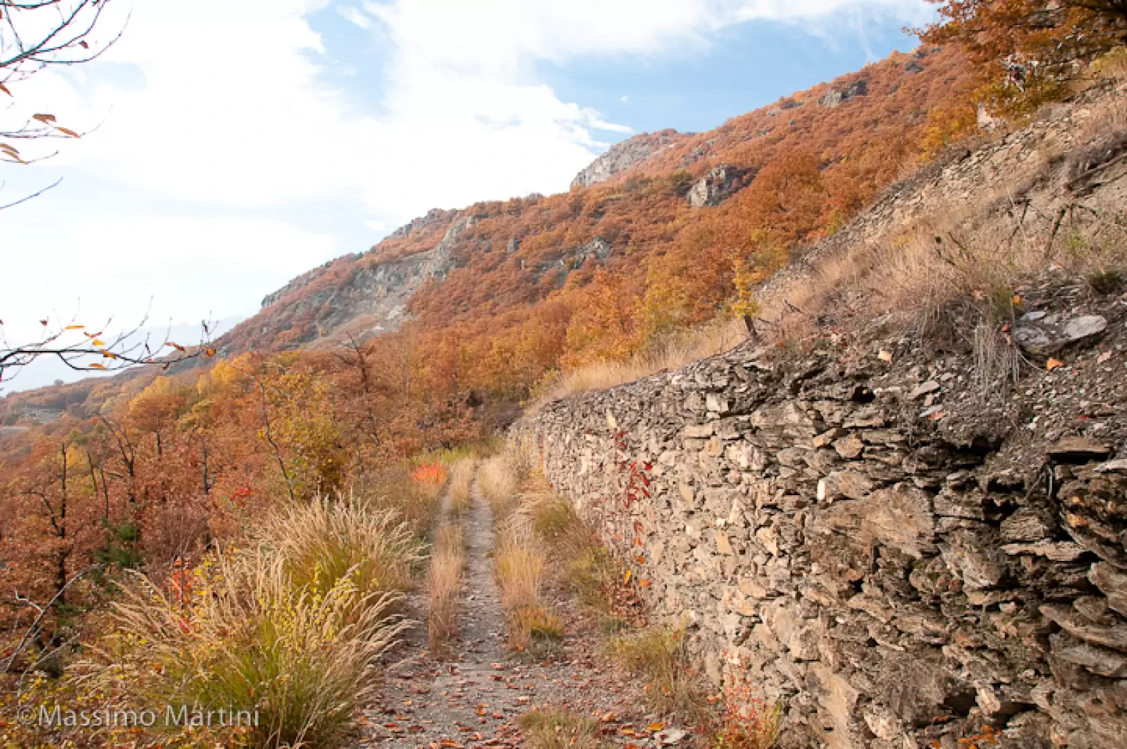
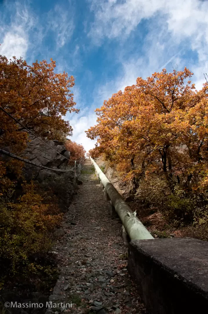
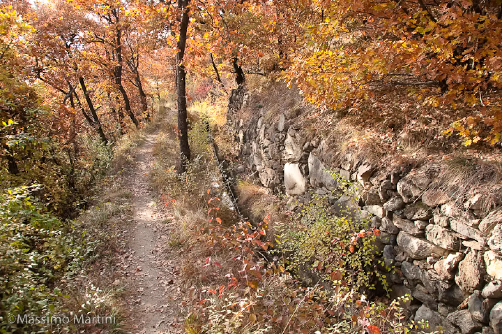
The path is entirely flat and after a few hundred metres emerges from the oak wood, offering interesting views of the village of Nus below and the main peaks of the central valley. You reach a section carved into the rock and then continue, still on the wide and comfortable path, skirting a valuable dry retaining wall. You re-enter the forest and now meet the ru, which you follow flush with the winding slope. On reaching a track, cross it and then re-enter the wood. Continue on level ground until you come to the penstocks that feed the Saint-Marcel hydroelectric power station and, a little further on, the trail ends and joins a dirt track (666m, 0h30').
The return journey follows the same route as on the outward journey (0h30')
Photo gallery
Comments (0)
Sign in to leave a comment