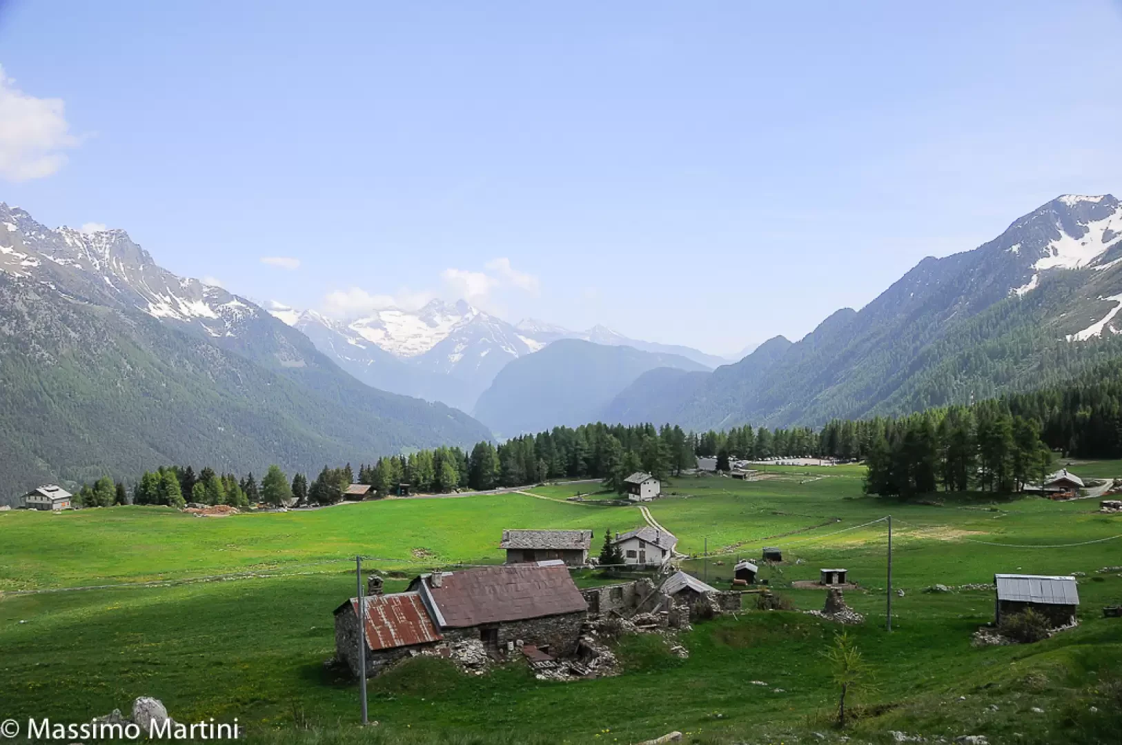
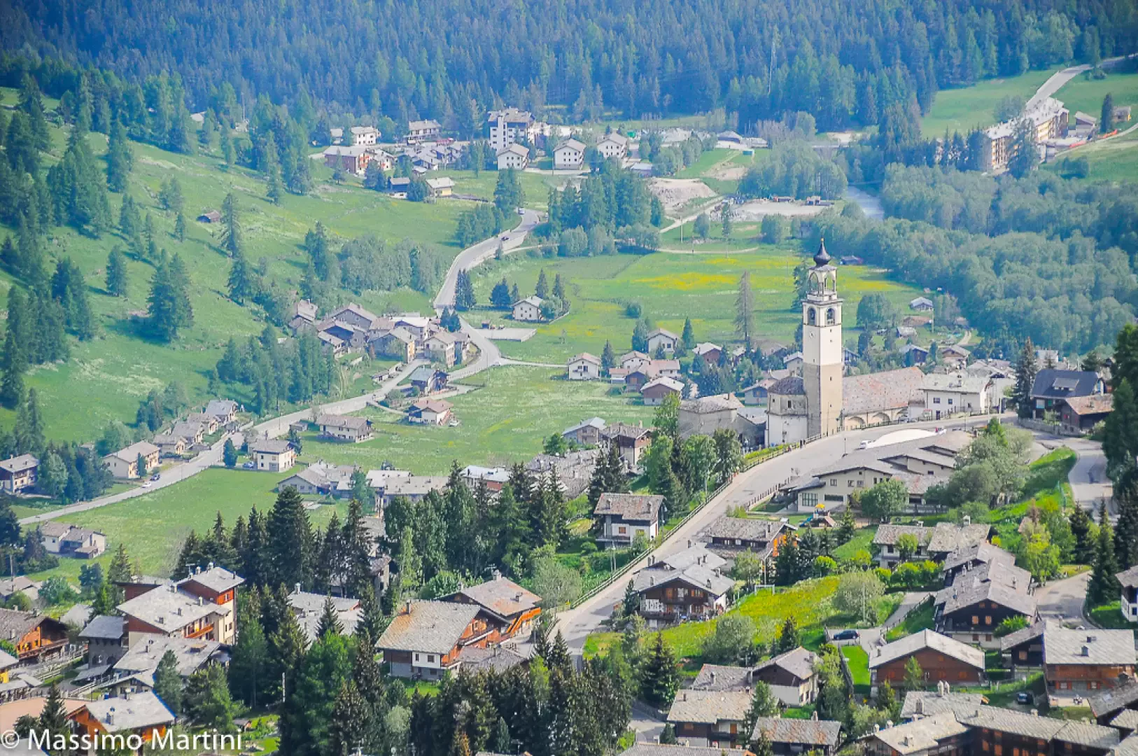
Leaving the motorway at the Verrรจs exit, enter the roundabout and take the second exit. Proceed in the direction of the town centre and, after 300m, turn left onto the regional road for Val d'Ayas. Follow the regional road for 22.1 kilometres, passing through the villages of Challand-Saint-Victor and Challand-Saint-Anselme, Brusson, Vollon and Extrapieraz until you come to a crossroads for Antagnod in the hamlet of Corbet. Turn left and follow the regional road for Antagnod, passing the villages of Lignod and Antagnod. After about 4 km, turn left and go up Route Barmasc for another 4 km until you reach the large free car park ๐ ฟ๏ธ in Barmasc.
[0h45'] - [29.7km] How to get there with GMaps How to get there with Apple Maps
These indications are based on direct verification carried out at the time of the survey of the route so the information should be verified before starting the hike. We recommend using a GPS navigator or map app on your smartphone to get up-to-date and detailed directions.
Introduction
The Ru Courtaud is a stream, but it can easily be called a cultural asset. There are documents that date its construction as far back as 1393. Over the years, it has been a fundamental tool for the agricultural development of the Saint-Vincent hill and has only recently become an amens tourist attraction. The itinerary described here allows visitors to discover this 'great work' dating back over 600 years.
Description
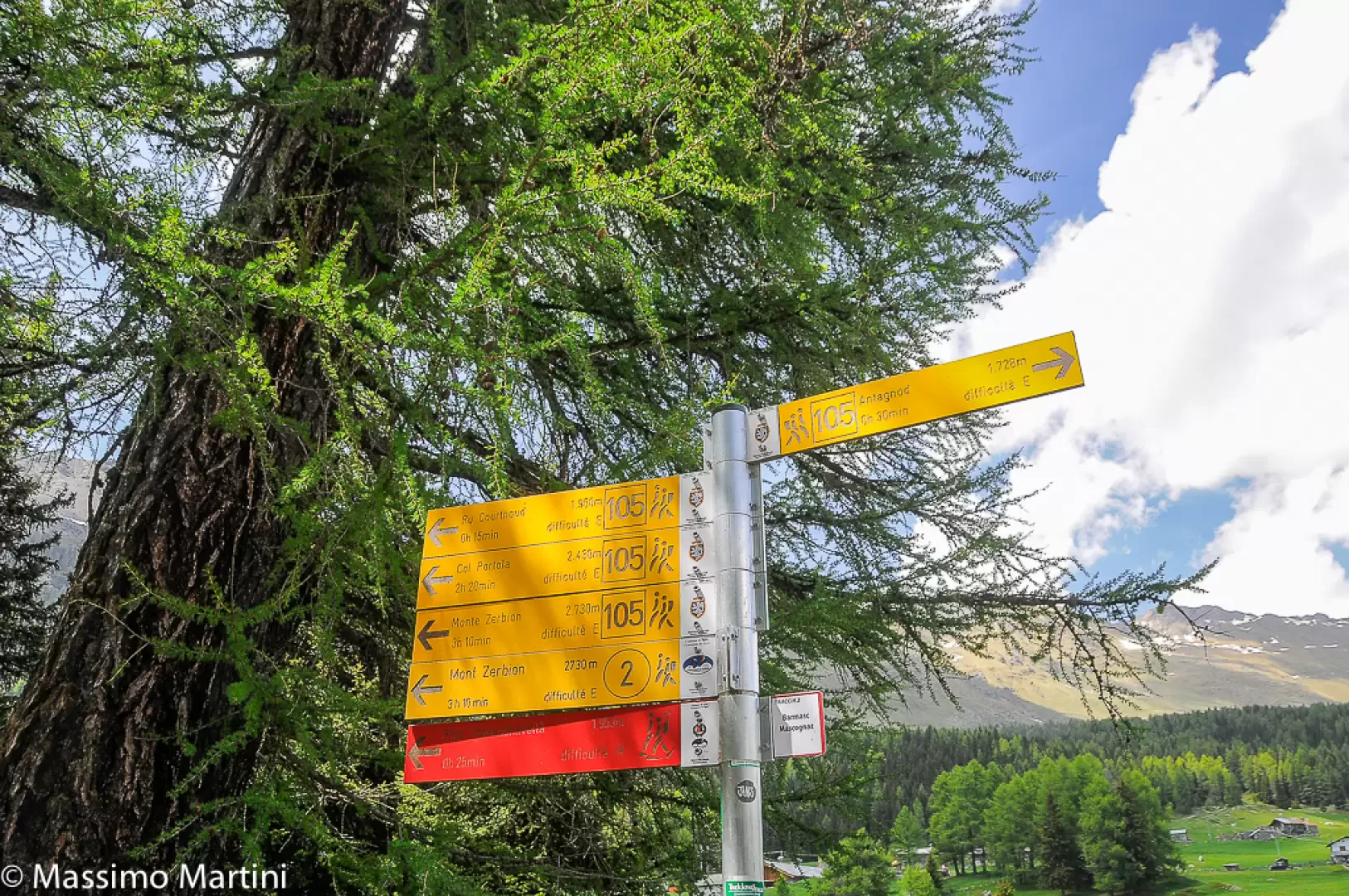
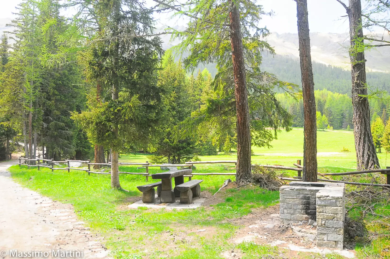
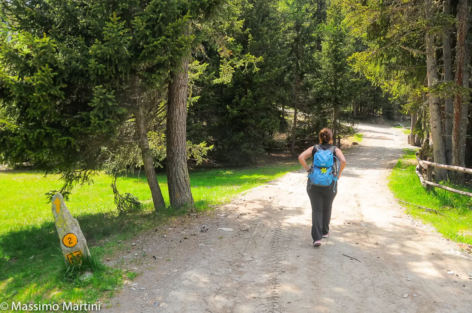
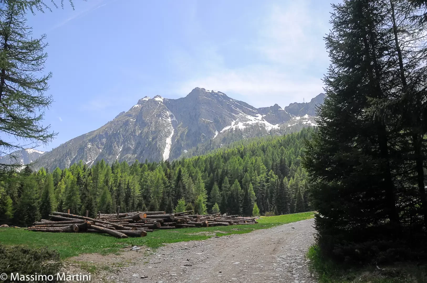
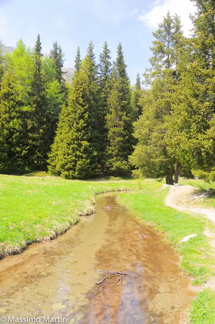
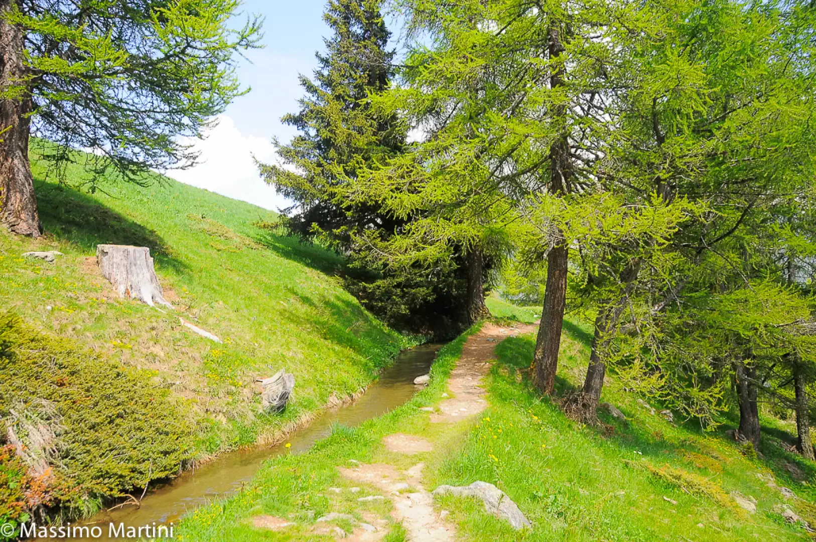
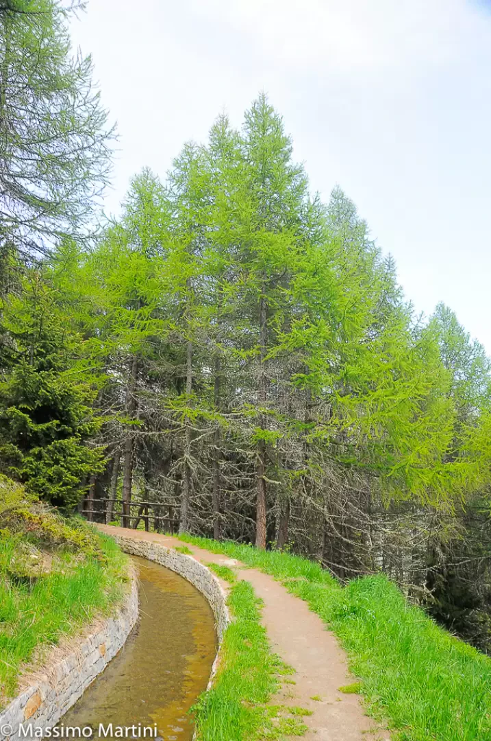
0h00' After leaving your car in the large car park in Barmasc, head towards the bar that prevents vehicular traffic. Take the little dirt road that crosses the picnic area at Barmasc and start to climb the only asperity of the itinerary, immersed in the spruce forest, until you reach the pleasant clearing of Pian Tchantchavellร , where the Ru Courtaud flows calmly. 0h10' At a post you meet the ru and turn right, following the signs for path
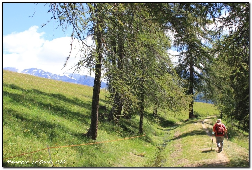
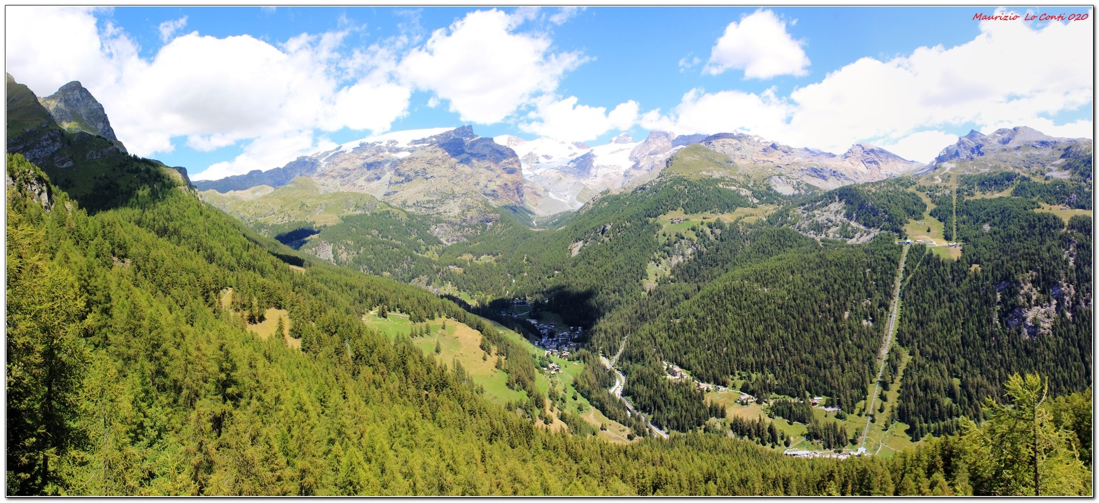
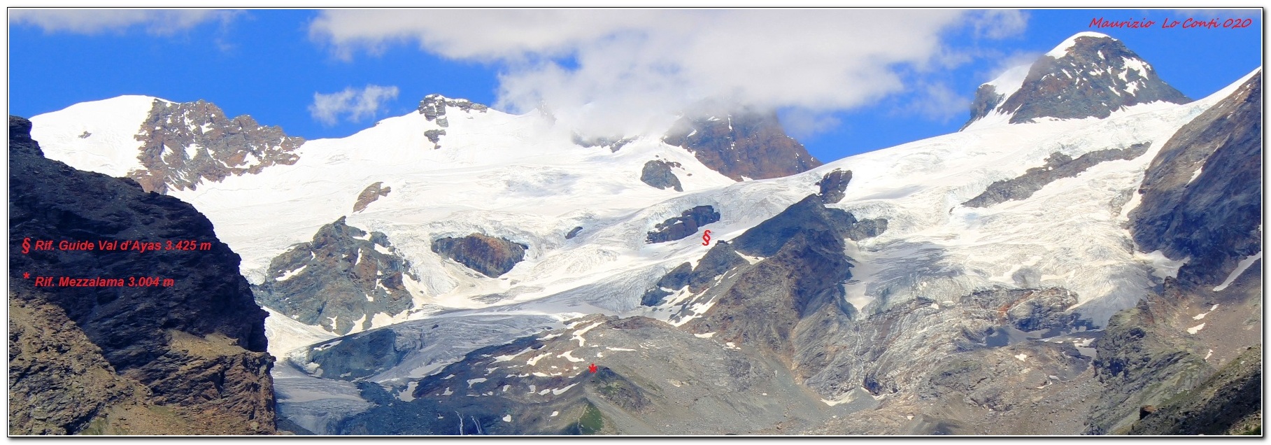
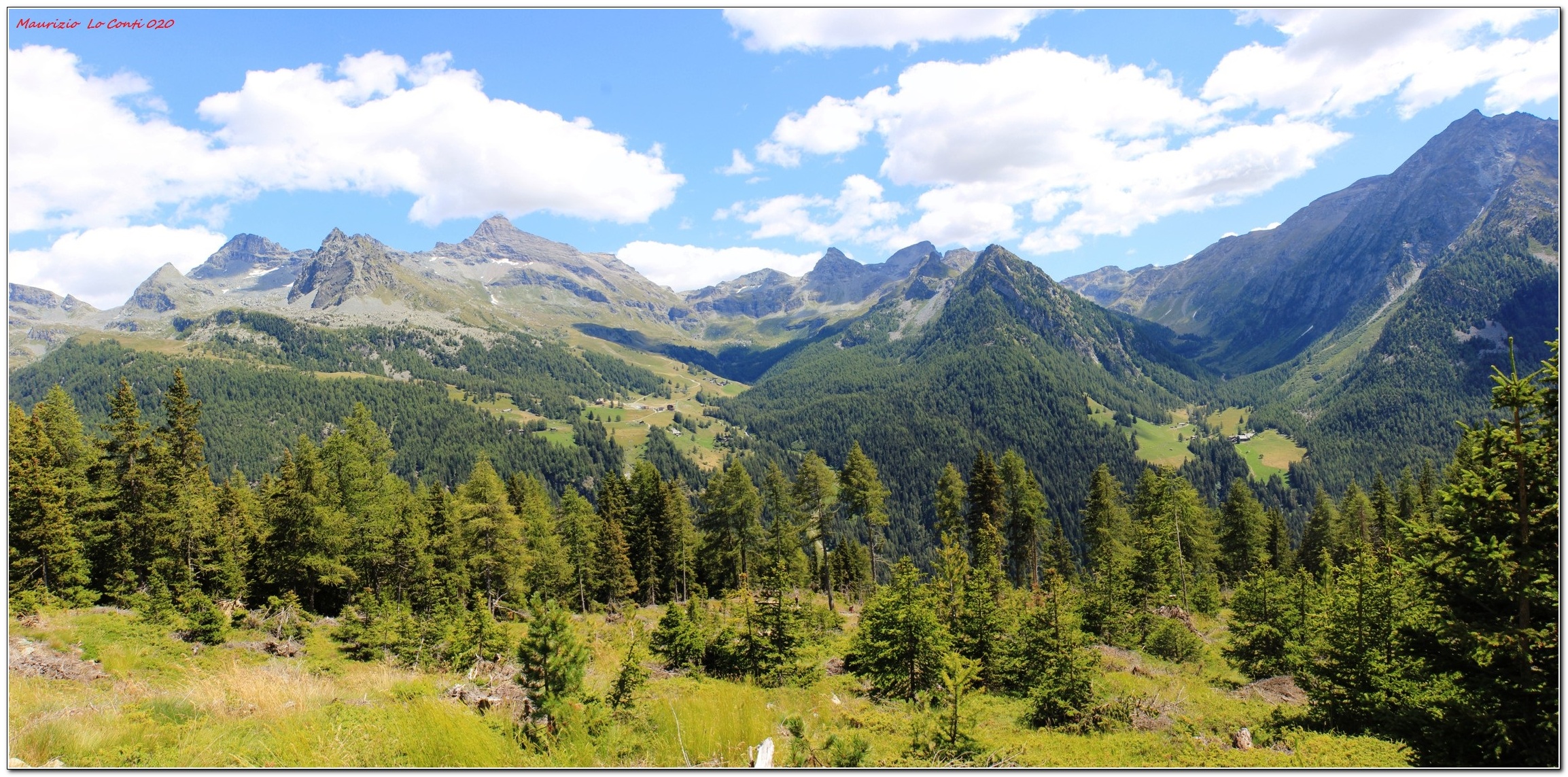
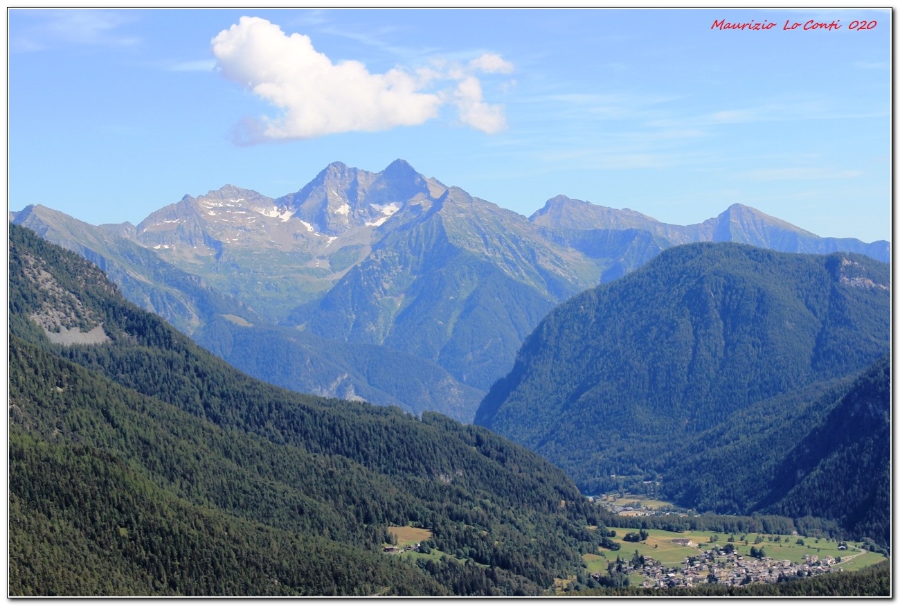
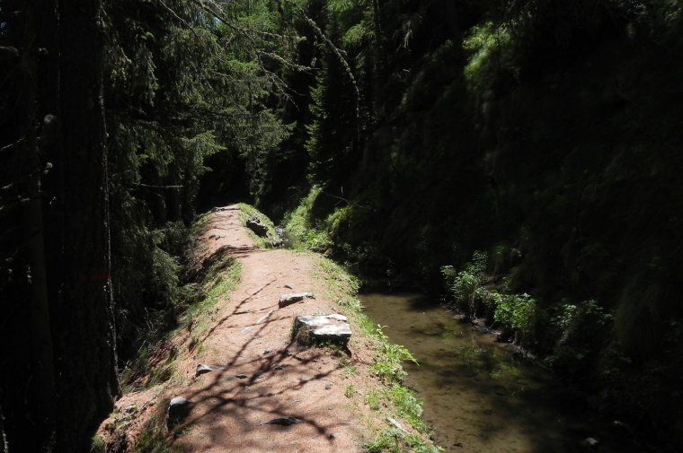
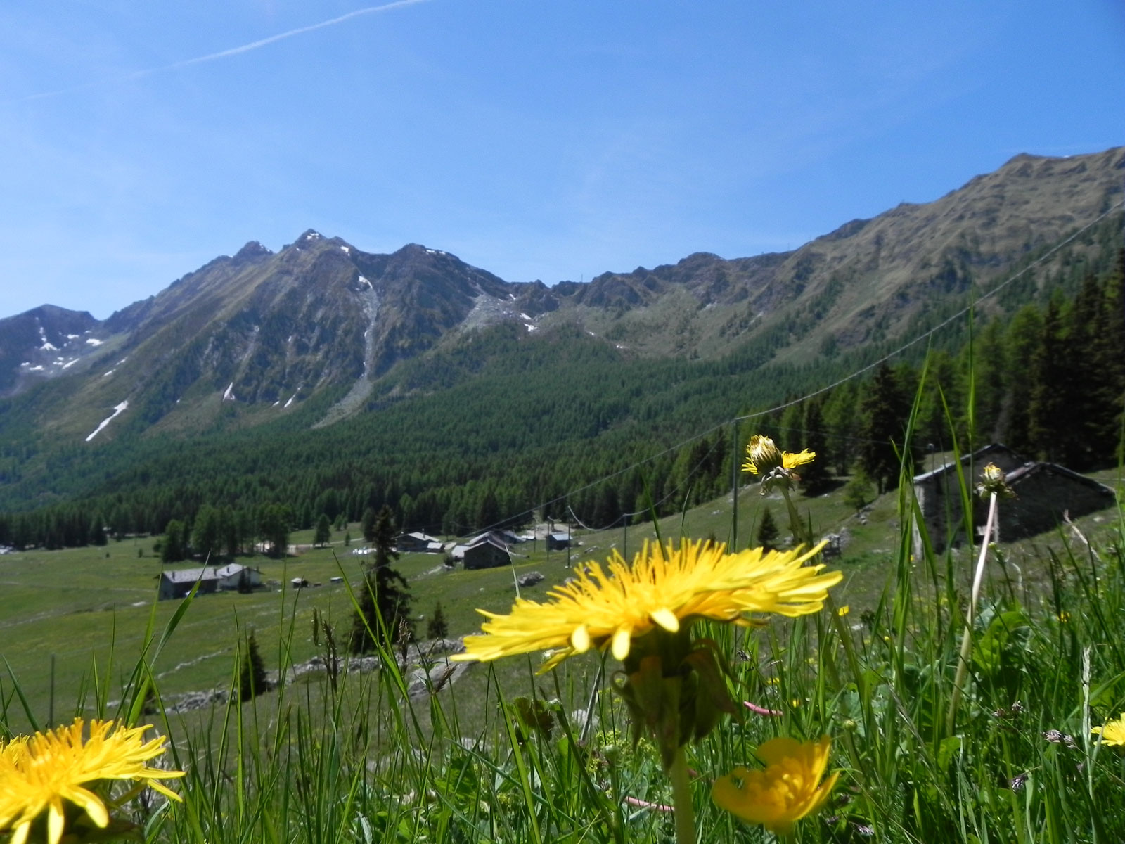
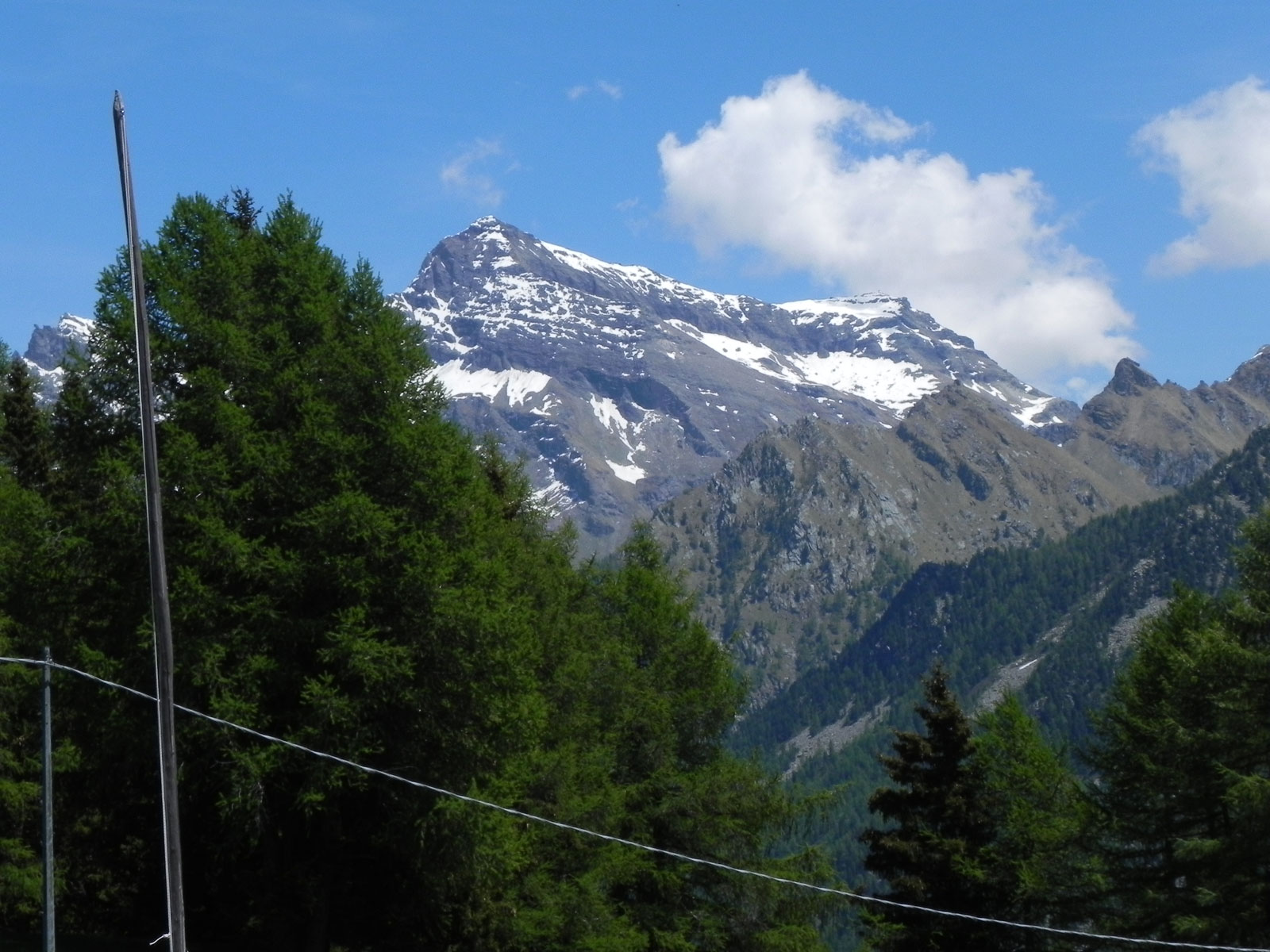
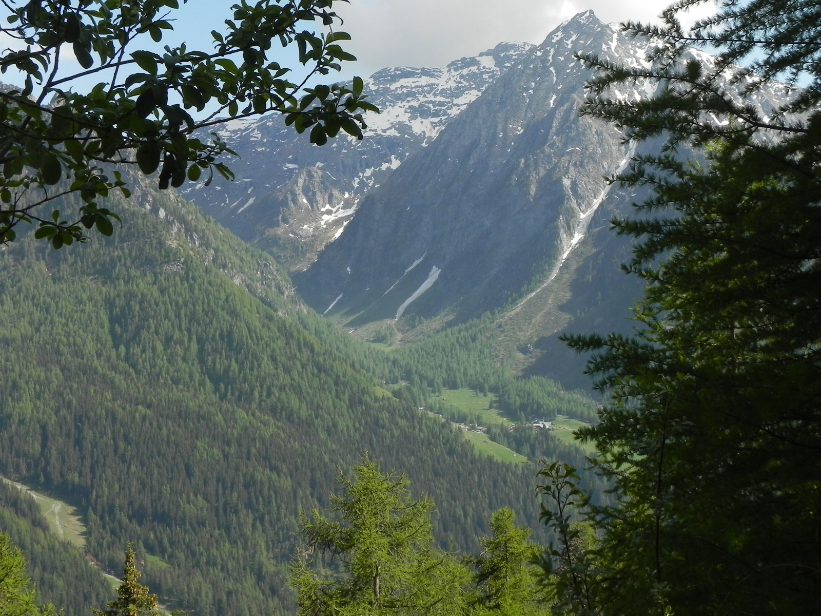
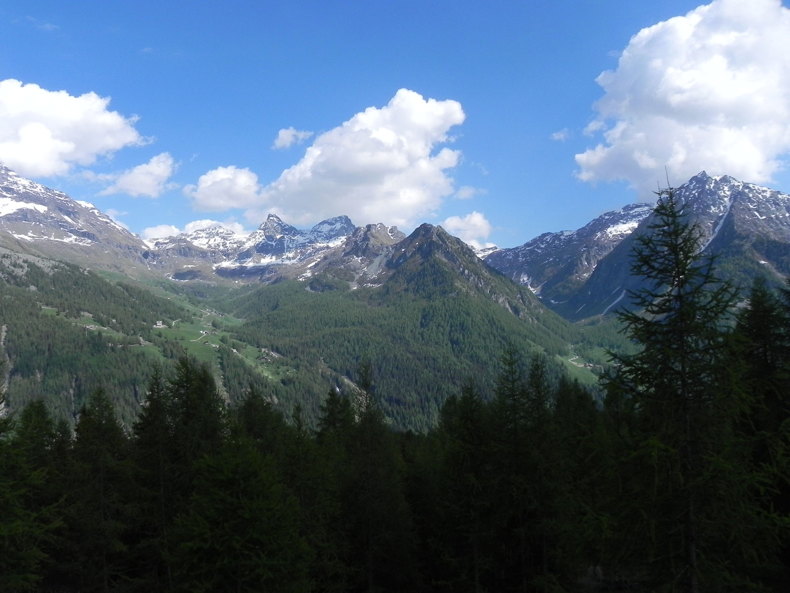
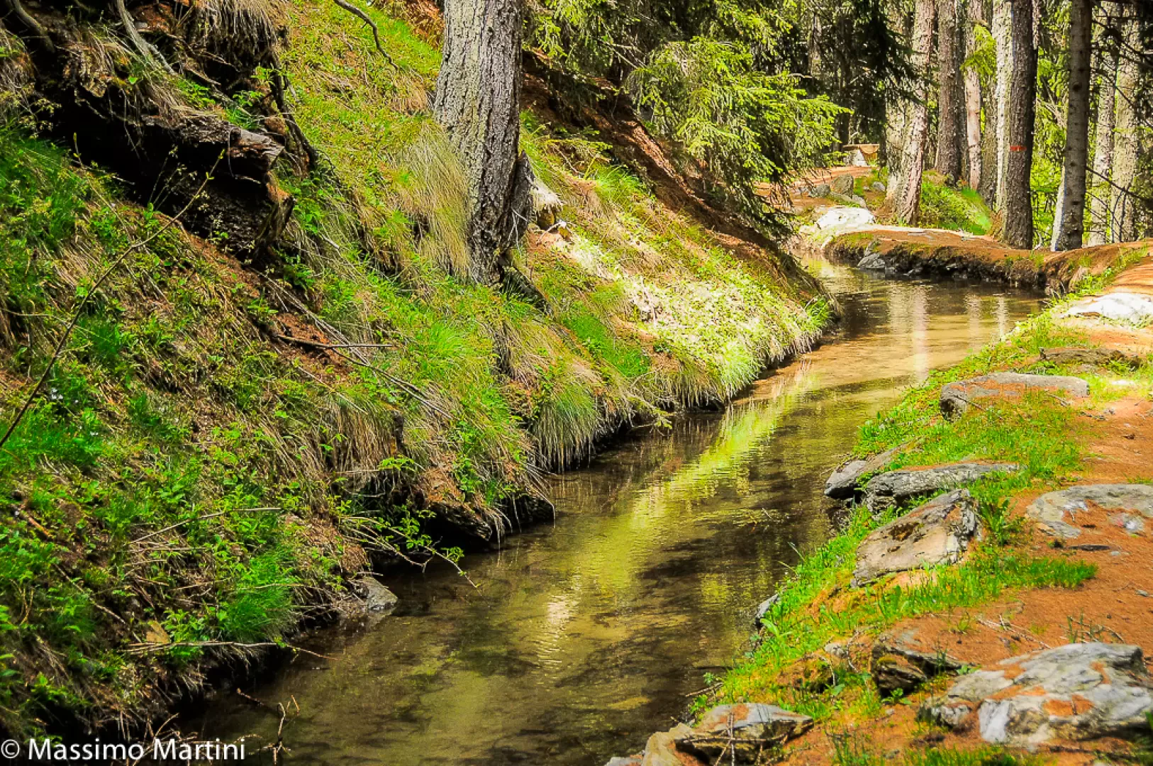
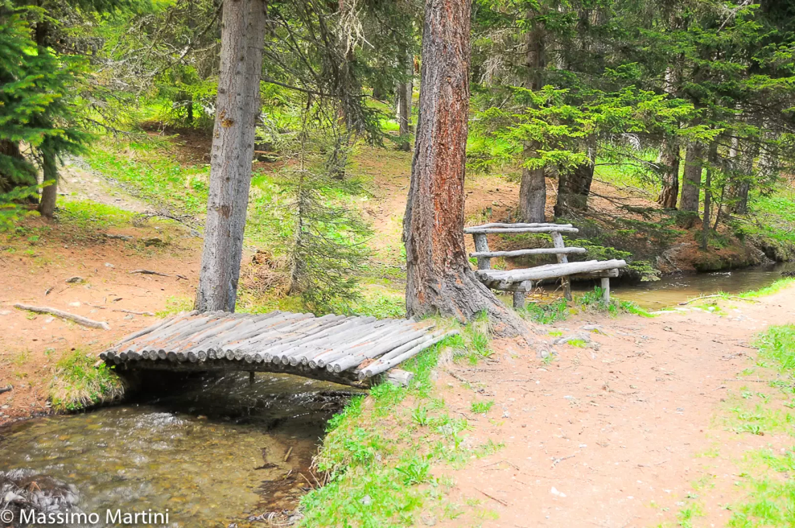
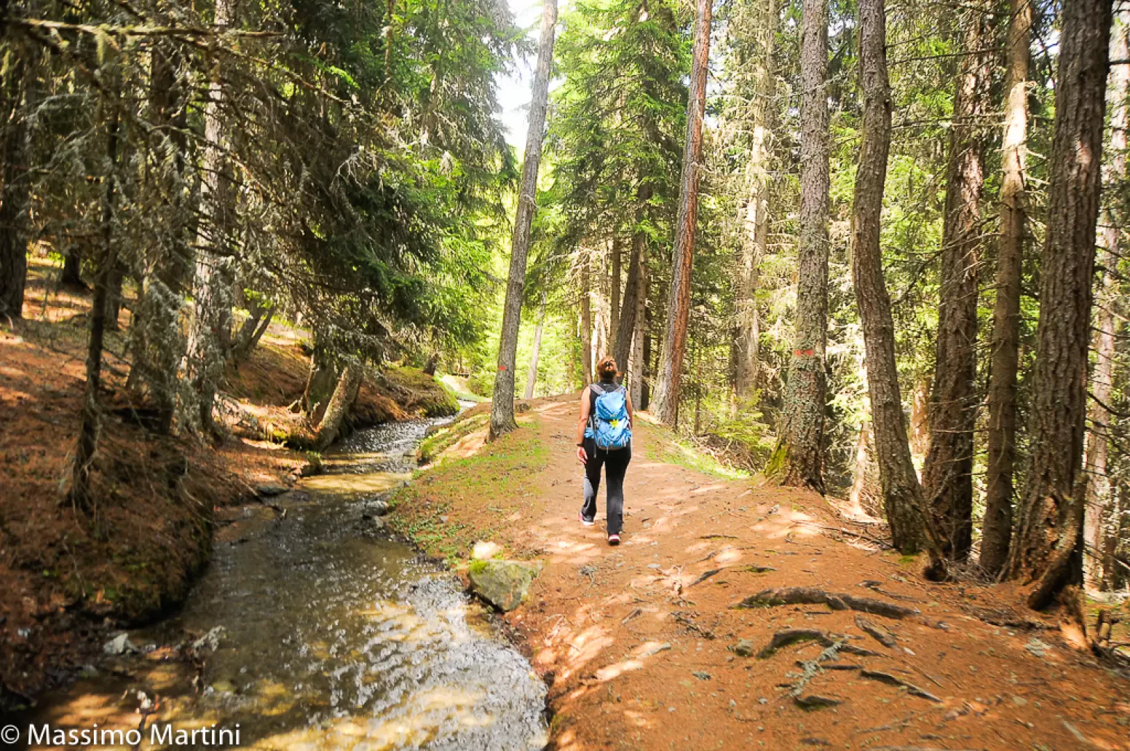
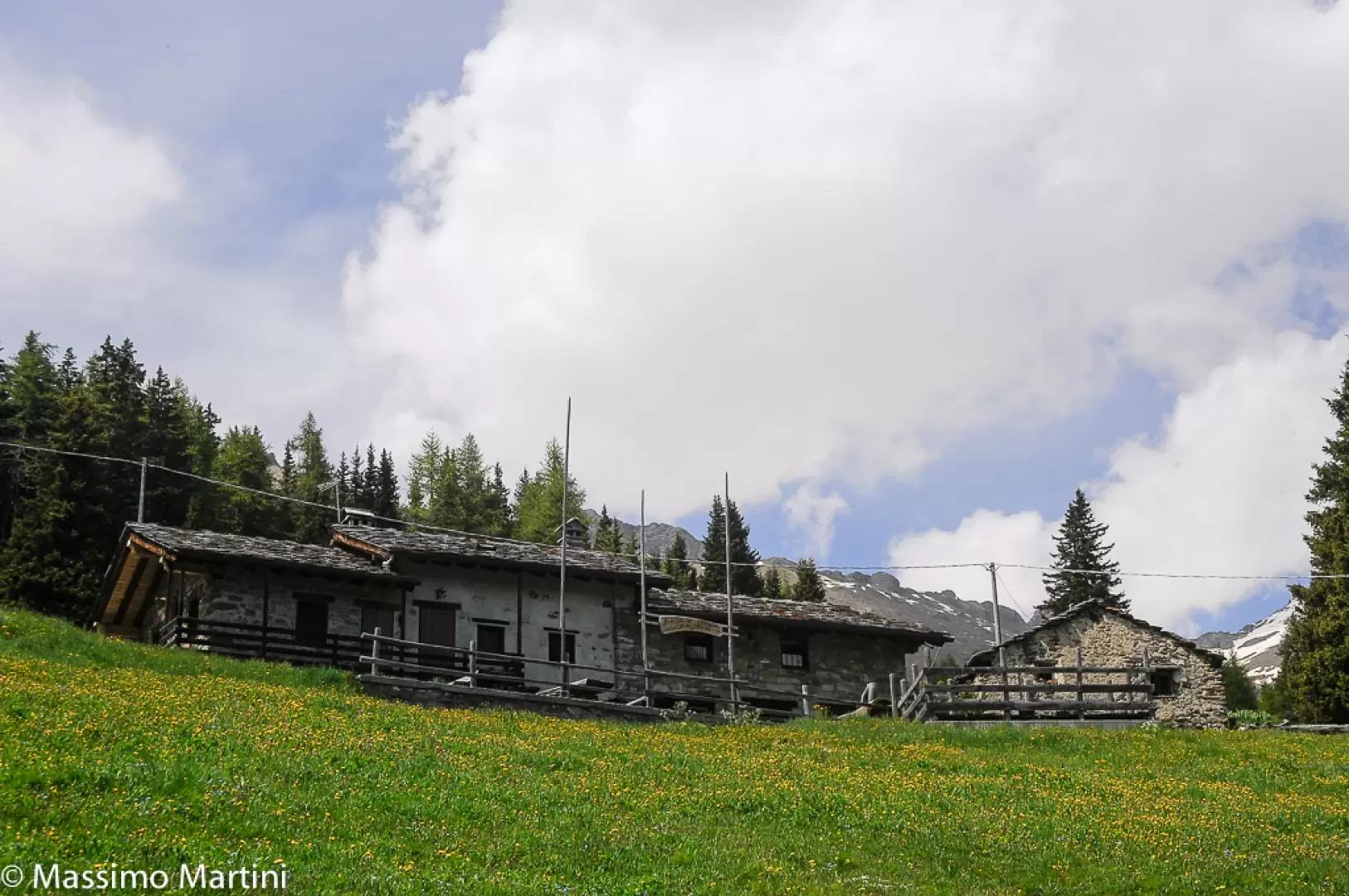
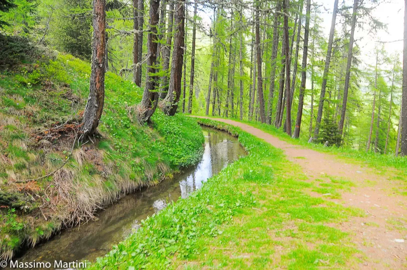
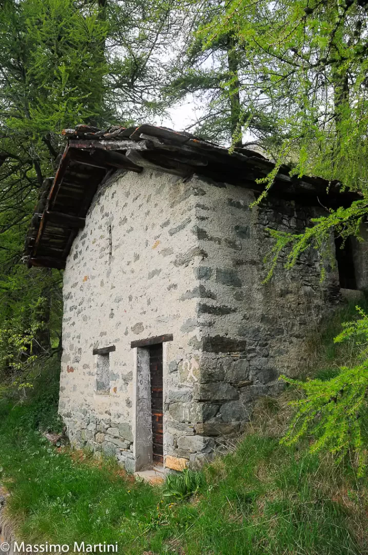
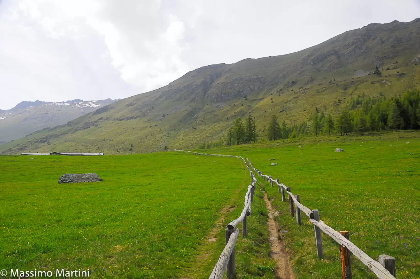
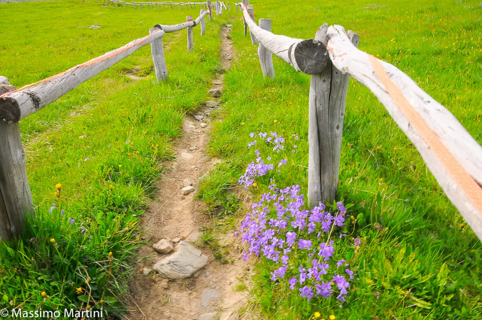
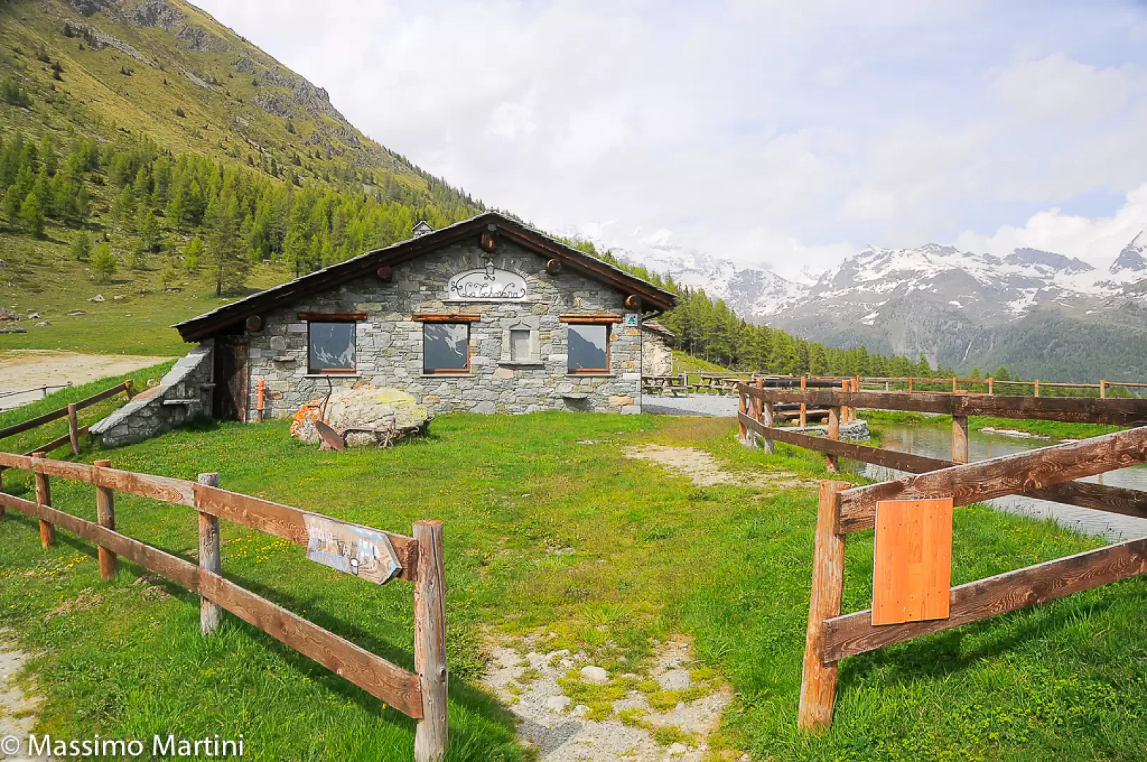
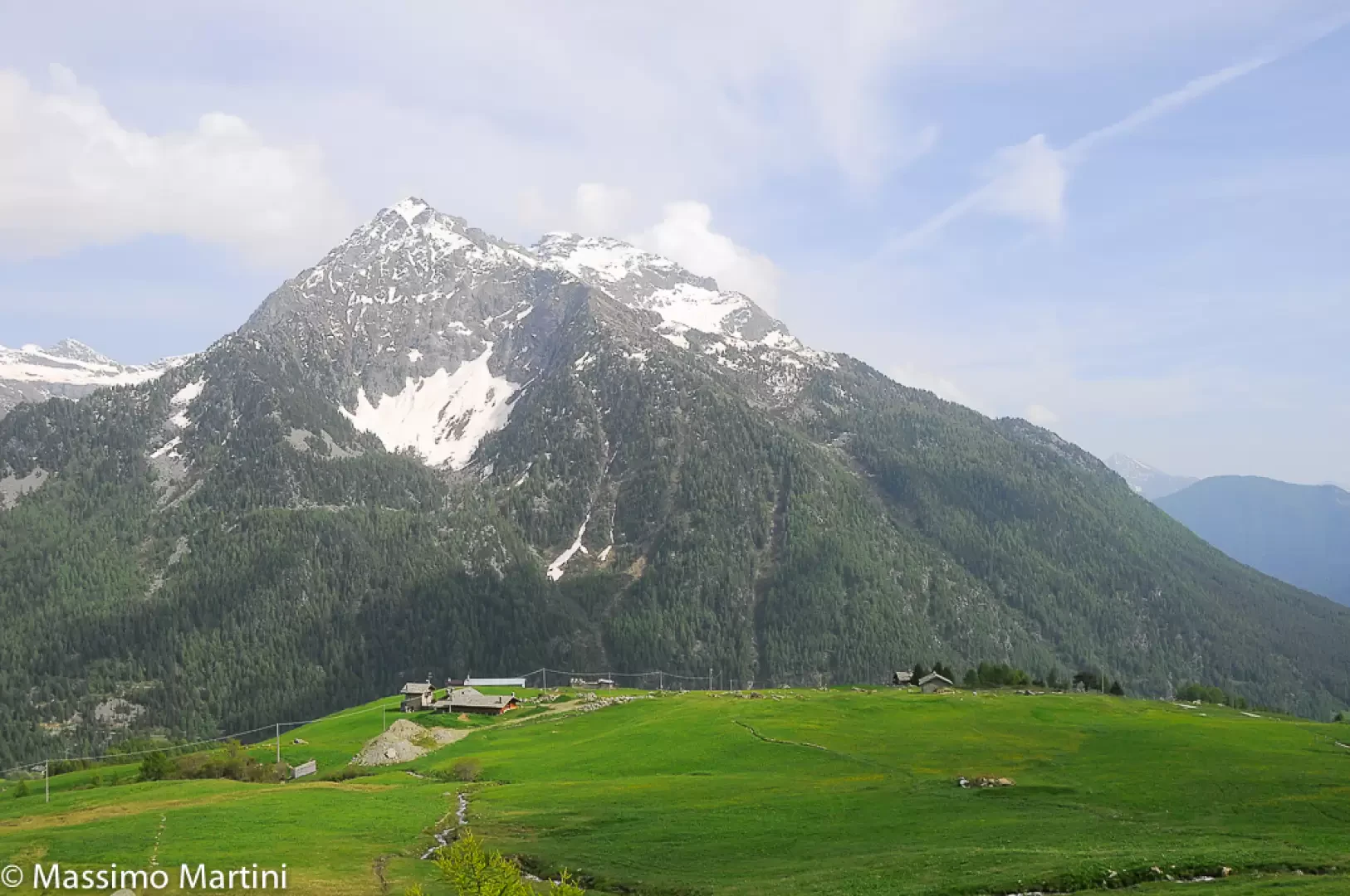
, leave the track and take the easy path that runs alongside the stream. The flat trail begins, immediately entering the beautiful fir and larch forest. The path faithfully follows the meandering course of the stream, accompanied every now and then by a few wooden benches useful for enjoying the peace and quiet of the place.รจ 0h20'T2] The path leaves the forest and reaches the junction for the return to the Barmasc car park, which should be neglected now, but will be useful on the return journey. Continue now in an open field, passing above the ruins of Chavannes and, a little further on, below the agglomeration where the Corneil farmhouse is located. After enjoying some interesting views of the Testa Grigia and other peaks on the eastern side of the Val d'Ayas, re-enter the forest along a long shady stretch before coming out again into the open field near Granon, where the trail briefly becomes a dirt road (1983m) and the panorama opens out to the not-so-distant Monte Rosa massif. 1h00' Leave the track and return to the path, still skirting the ru. Continue between sparse larch trees before entering a wooded scrub where there is a small masonry house that used to be the ru's guardians' resting place in the past. Continue along the path, which narrows somewhat in this section and then widens again when it comes out into the wide pastures of Metsan. Now out of the forest, continue until you meet the picturesque access path to the farmhouse, consisting of two long parallel railings. Turn right and walk up the pasture until you reach the "La Tschavana" farmhouse (2022m). 1h30' Start your return journey by following the farmhouse access road until you return to the ru near Granon. Now follow the outward route back to Chavannes, where you turn right and descend first along a path, then a track to the Barmasc car park 1h10'.
Di seguito alcune info di massima, con una breve descrizione sintetica.
Accesso: Si esce dall'autostrada a Verres. Dopo si risale la val d'Ayas e oltre Brusson, da Corbet, si devia a sinistra per Antagnod. Quasi allโuscita di questo ultimo, si piega ancora a sinistra per la localitร di Barmasc 1880 m, dove si lascia l'auto (una trentina di km dal casello). Il parcheggio a fine strada รจ vasto, ma, nei fine settimana, รจ facile trovarlo giร pieno anche molto presto!
Approfondimento: Il Ru Courtaud รจ un canale irriguo molto antico,vecchio di oltre 600 anni. Infatti, le sue prime notizie risalgono alla fine del Trecento! Esso serviva per portare a valle l'acqua dall'alta montagna fino a St. Vincent. Da un punto di vista escursionistico, il tracciato, lungo circa 25 km sui 2000 m di quota, parte dal colle di Joux (all'inizio con molte gallerie). Una serie di pannelli esplicativi raccontano il percorso nella parte centrale/finale e in questo ambito si sviluppa la gita.
Descrizione breve: Da Barmasc si sale nel bosco fino ad una radura dove si incrocia il percorso da seguire a destra, quasi in piano: l'alveo del Ru Courtaud accompagna ora il sentiero. Si ignora l'agriturismo Alpe Corneuil e poi si sfiora il ristoro La Tchavana di Metsan. Si giunge infine da una costruzione in cemento dalla quale esce lโacqua che alimenta il ru. In alcune relazioni lette sembrerebbe che non si possa andare dritti e si sale a sinistra. Ma probabilmente ora รจ stato ripristinato. Si insiste sempre sulla via piรน ampia che, in un paio di tornanti, conquista un bel punto panoramico sul gruppo del Rosa e Saint Jacques (2h30).
In definitiva: Diff. T molto molto facile - Disl. 200 m - 4h30 AeR โ quasi 16 km AeR (soprattutto all'andata ad un ritmo superiore al solito).
NB: in caso di gita, verificare, sempre, con FIE, Cai, eventuale Ente parco o altre Istituzioni, pro loco, ecc., che non ci siano state variazioni che abbiano aumentato le difficoltร ! Si declina ogni responsabilitร . Il presente testo ha solo carattere puramente indicativo e non esaustivo.
Buon cammino
Maurizio
Informazioni generali
Condizioni via o sentiero: ottime Pericolo Oggettivo: nessuno Tratti esposti: nessuni Affollamento:
Dopo una pausa forzata ritornare sui sentieri รจ sempre una bellissima sensazione. Per un inizio graduale ecco un classico delle Easy Walks VdA: il Ru Courtaud. La giornata calda ed il sole il "palla" era invitante ma la Val d'Ayas ci ha regalato una discreta frescura con qualche nuvola. Il percorso lungo il "ru" รจ perfettamente percorribile.
Note
Il ru Courthod รจ uno dei canali artificiali costruiti, tra le valli dโAyas e Valturnanche, nel Medioevo per convogliare le acque dei ghiacciai del monte Rosa allo scopo di irrigare i campi dellโarea di Saint-Vincent.
Il ru Courthod costruito a partire dal 1393 ha richiesto una quarantina di ani per la sua costruzione, e percorre tutto il versante destro della valle dโAyas, catturando le acque nel vallone del Courthod ai piedi delle cime Bianche.
Dal parcheggio di Barmasc si imbocca la larga via sterrata (indicazioni per Monte Zerbion) che risale lungo la pineta. In pochi minuti si giunge allโampio ripiano erboso del Pian delle Dame, che รจ tagliato dal ru Courthod. In corrispondenza del corso dโacqua si imbocca il sentiero che costeggia tutto il ru, fino ad arrivare sulla verticale di St. Jaques.
Quando il corso del ru arriva in corrispondenza di una costruzione in cemento si imbocca un sentiero che in breve porta su di una strada sterrata ove si svolta a destra, si attraversa una galleria (attenzione alla caduta sassi in galleria), allo sbocco della quale si puรฒ ammirare il Cervino.
Comments (0)
Sign in to leave a comment