Dondena Refuge, from Dondena


Edited by:
Massimo Martini
Updated at: 10/02/2026
Access
Leaving the motorway at the Pont-Saint-Martin toll booth, after 100m turn left to follow the state road in the direction of Aosta. After 500 metres, take the second exit at the roundabout and continue on the state road for 3 kilometres to the next roundabout. Take the second exit and follow the regional road in the Champorcher Valley. Continue on the regional road for 14.7 kilometres up the valley and through the villages of Hône and Pontboset before reaching Château, the centre of Champorcher. Turn right, following the signs for Dondena and climb up the little communal road for about 7.9 kilometres until you reach the Dondena car park 🅿️ where you can leave your car.
[0h52'] - [30.6km]
How to get there with GMaps
How to get there with Apple Maps
The information provided here has been verified as of the date the route was surveyed. Before setting off, it is advisable to ensure that no substantial changes have occurred on the route to the starting point. We therefore recommend the use of the satellite navigation apps provided by Google or Apple for up-to-date and detailed directions.
Introduction
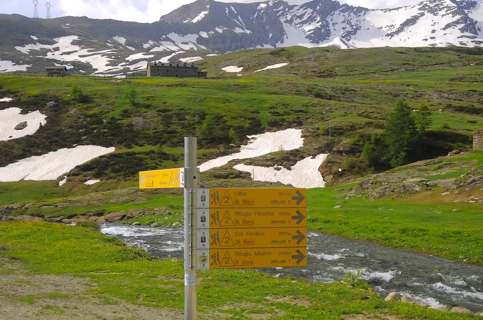
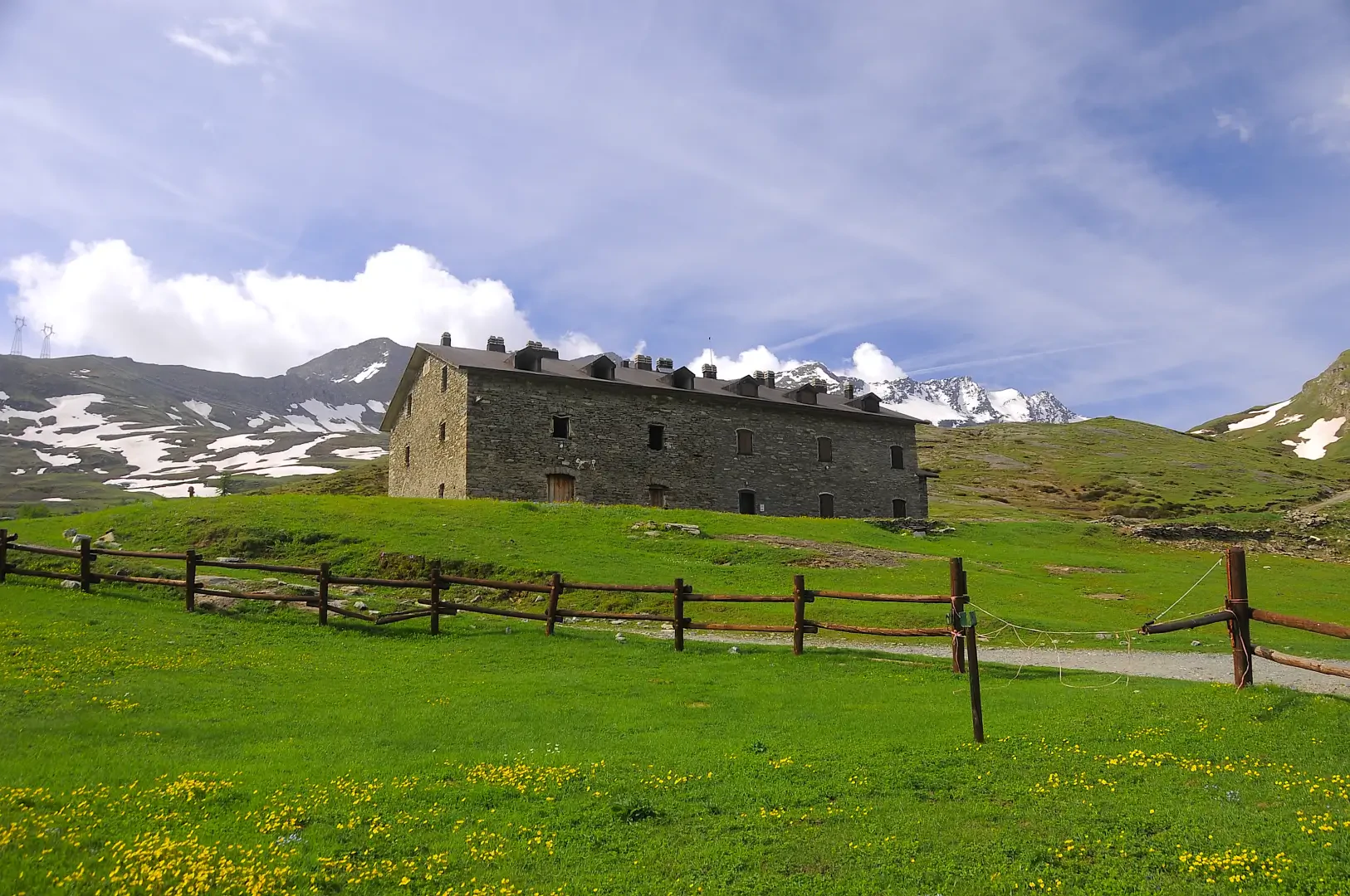
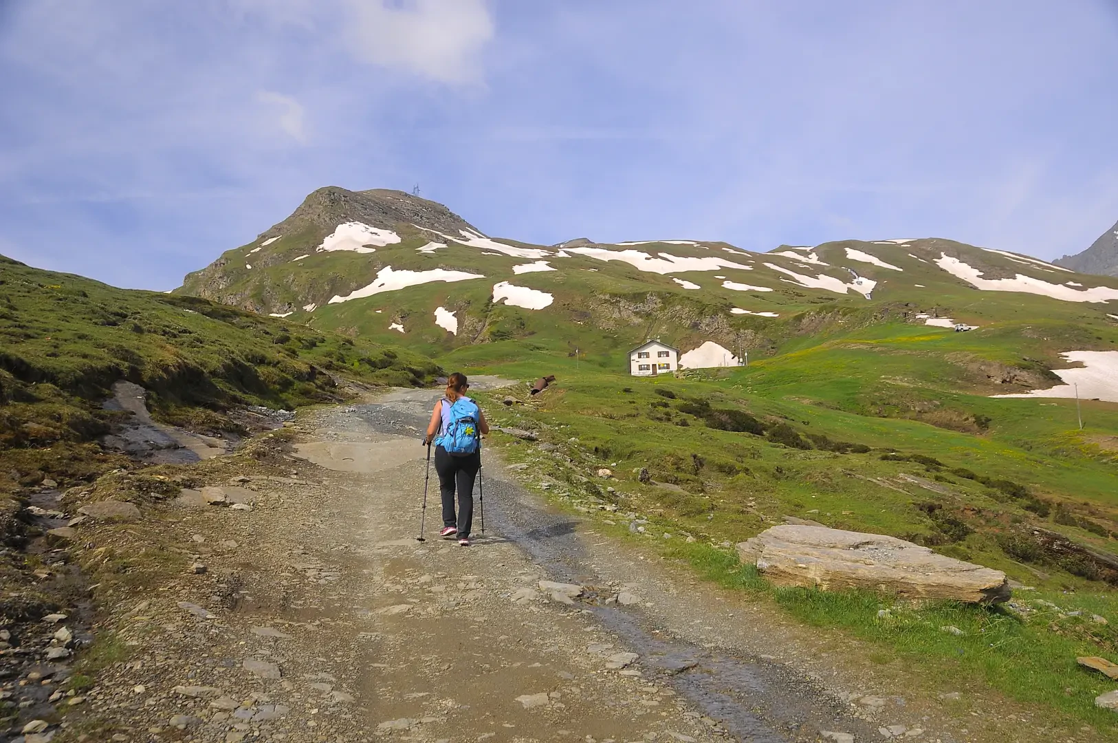
The hike to the Dondena Refuge is a short and accessible itinerary along a dirt road through the alpine pastures of the Champorcher Valley. The route starts at Dondena, crossing the Torrent Ayasse on a concrete bridge, and then climbs gently between historic ruins and flower-filled meadows. After walking for about 25 minutes, you reach the refuge (2197m), a reference point for hikers heading for Lake Miserin or the surrounding peaks. The return is along the same route, offering a simple and scenic hike, ideal for a half-day in the mountains.
Description
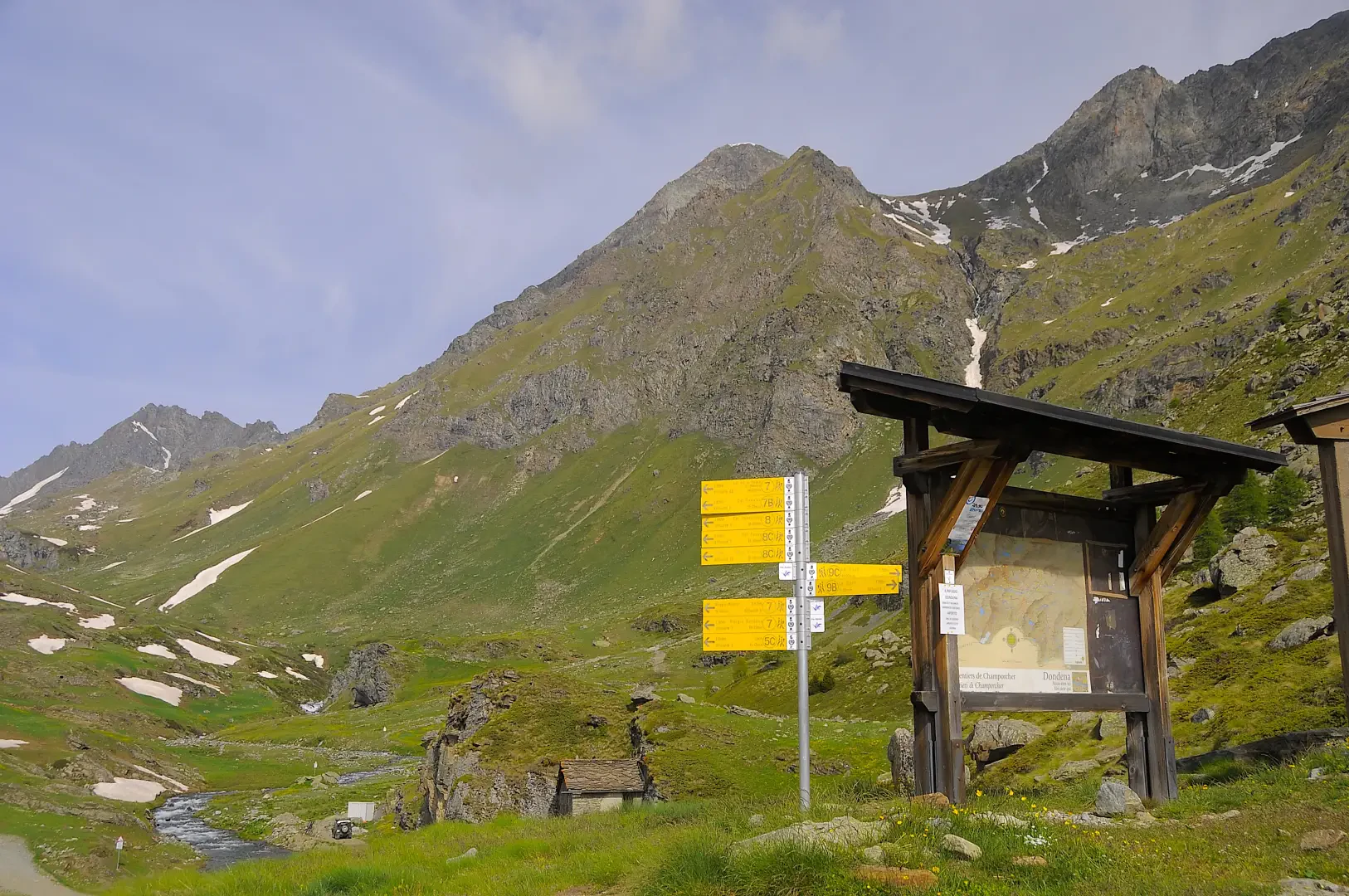
0h00' 0.00km Leave the car in the clearing adjacent to a large wooden panel bearing the map of the municipality of Champorcher. Proceed downhill towards the Torrent Ayasse, following the dirt road until you reach a signpost.
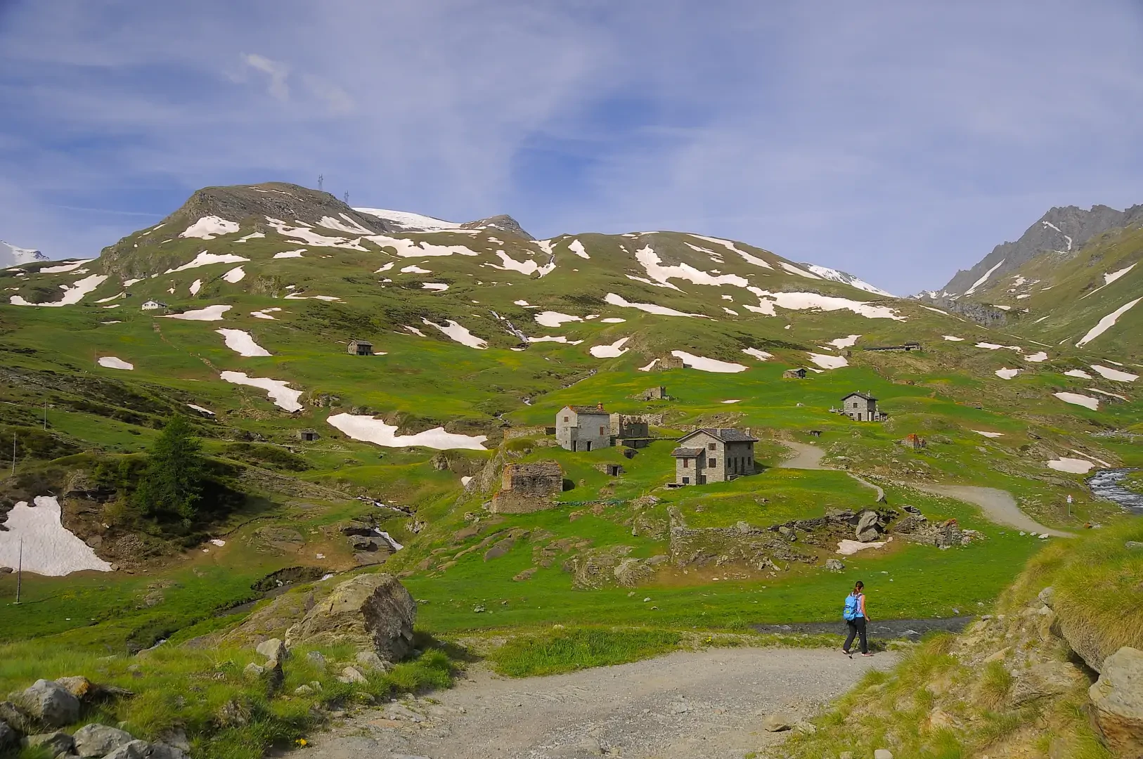
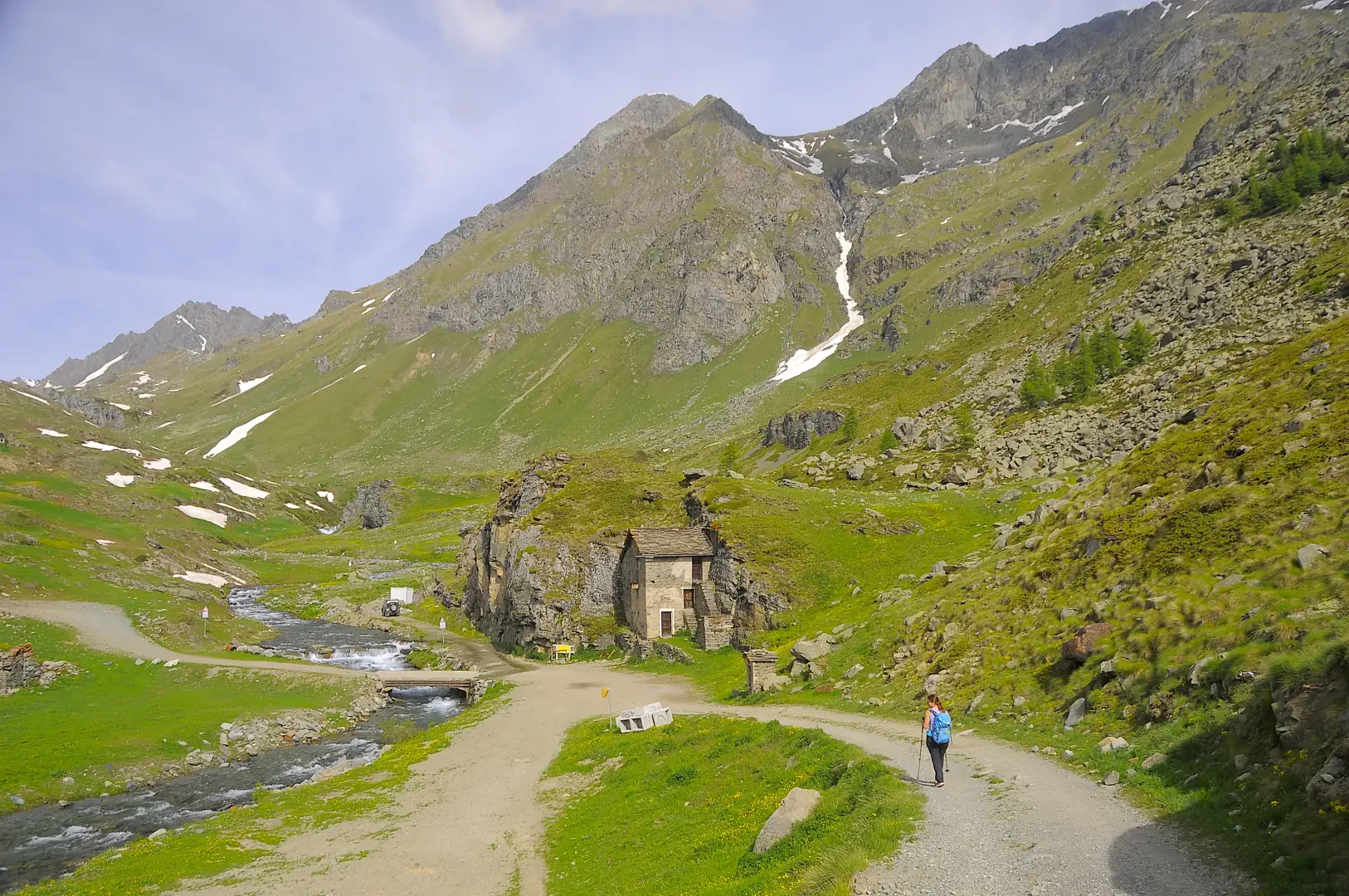
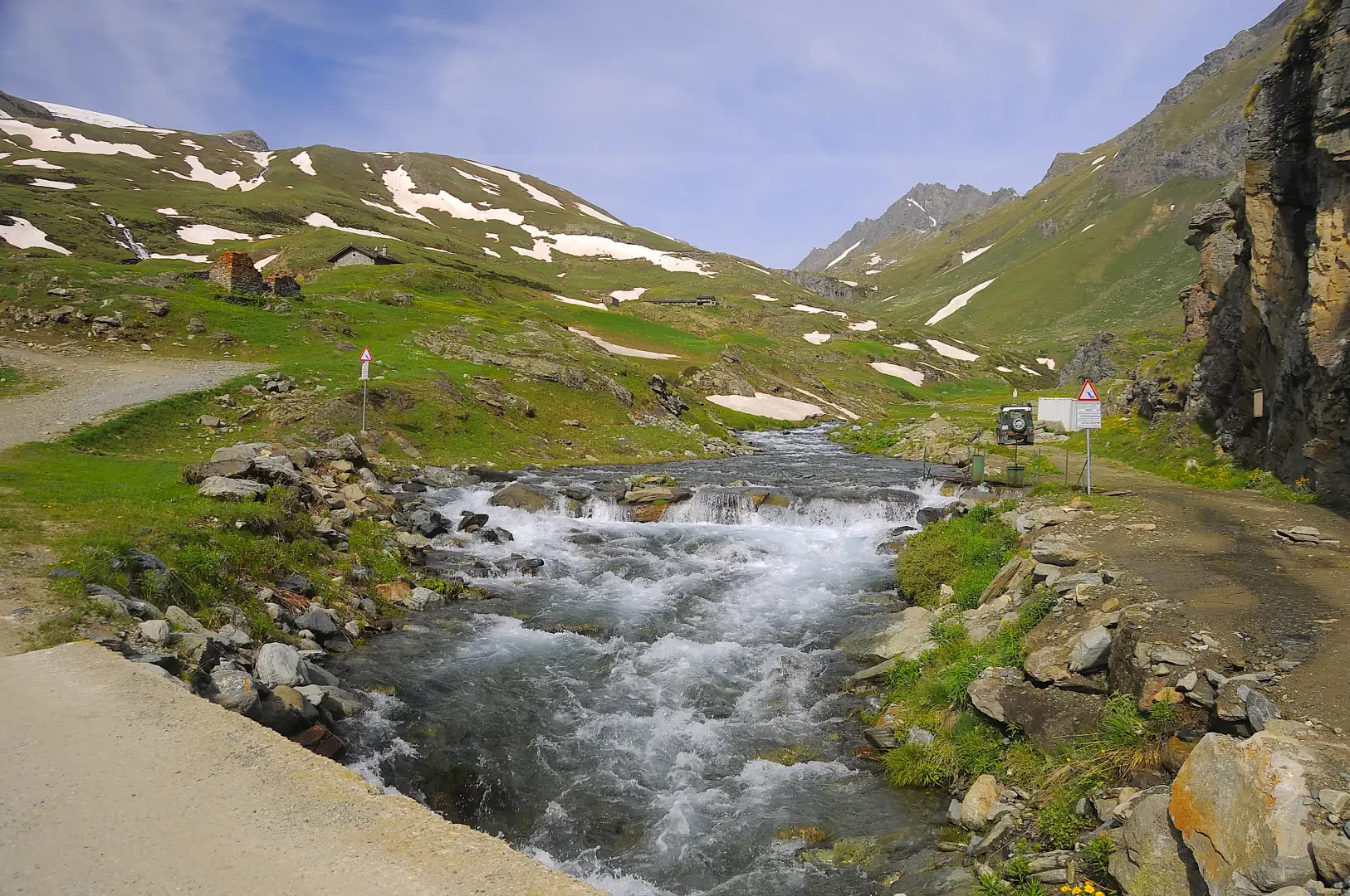
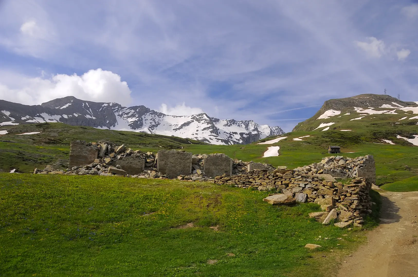
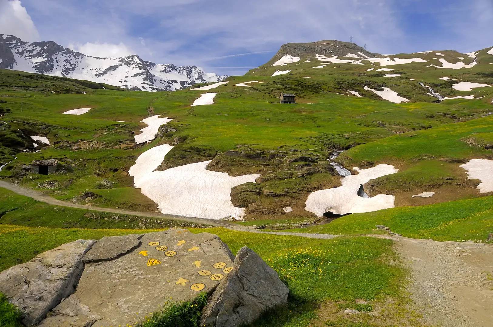
0h02' 0.1km Neglect the paths downhill towards Chardonney and continue straight on until you reach a hamlet leaning against a rock face. Turn left, cross the Torrent Ayasse on a concrete bridge and begin the ascent. Skirt the ruins of the former Albergo Alpino and some isolated hamlets of Dondena, some of which were set on fire during a Nazi-Fascist reprisal at the end of May 1944. Continue along the road, ignoring a shortcut path, which with a few hairpin bends climbs the alpine pastures dotted with gentians (Gentiana acaulis) and arnica (Arnica montana), until reaching the Rifugio Dondena (2186m) 0h25' 1.08km .
The return is along the same route as the outward journey, retracing the farm road until reaching the scattered village of Dondena, the bridge over the Torrent Ayasse and the car park, the starting point of the itinerary (2107m) 0h15' 1.08km .
Points of Interest
Collections
- hikes departing from Dondena - on the map
- hiking in Champorcher - on the map
- hiking in the Champorcher Valley - on the map
- hikes to refuges in the Champorcher Valley - on the map
- hiking to refuges in the Aosta Valley - on the map
Photo gallery
Comments (0)
Sign in to leave a comment