Arp Refuge, from the Fénillettaz car park on path 5F

Edited by:
Massimo Martini
Updated at: 04/05/2025
Access
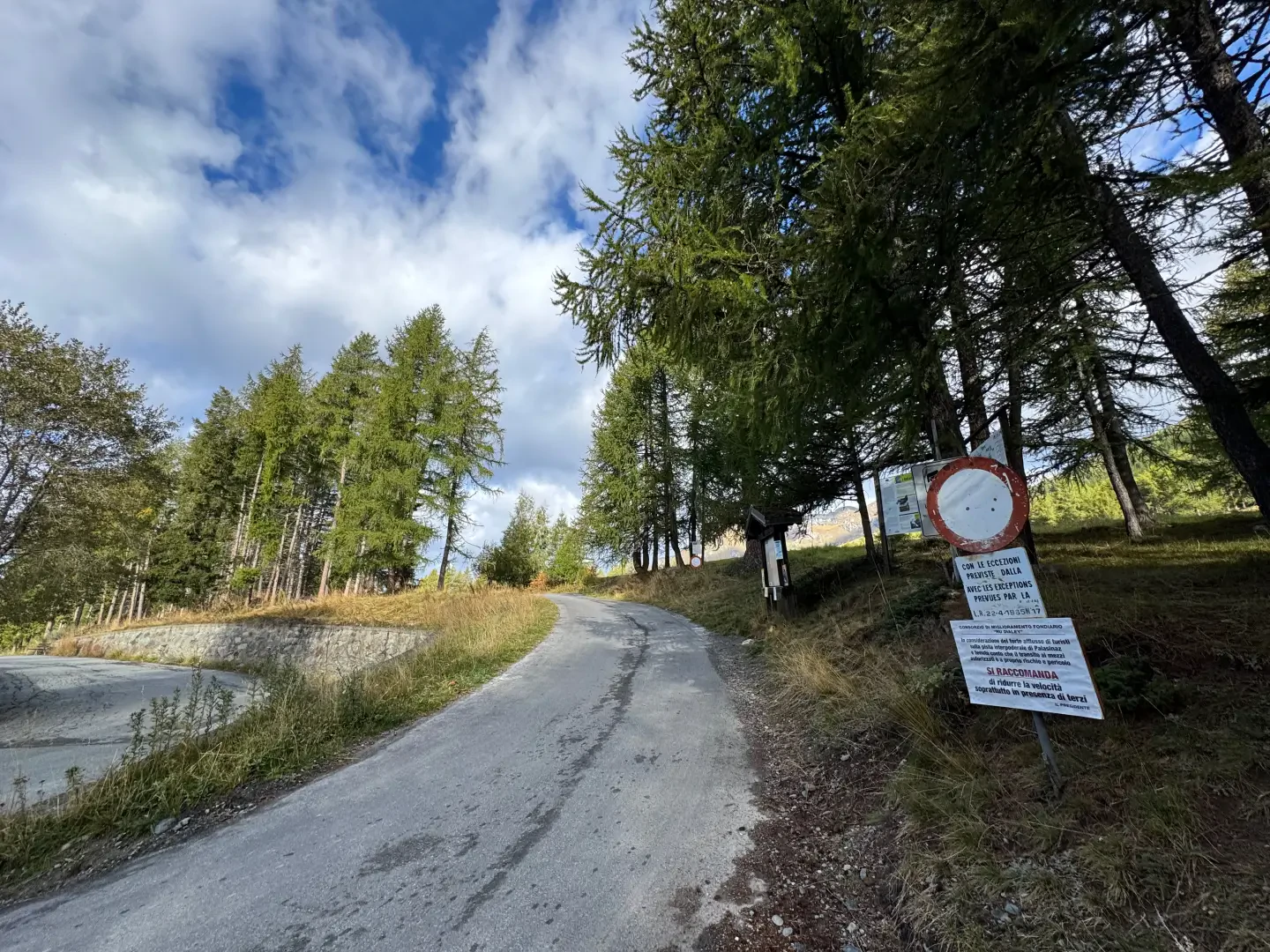
Leave the motorway at the Verrès exit, enter the roundabout and take the second exit. Proceed in the direction of the town centre and, after 300 metres, turn left onto the regional road for Val d'Ayas. Follow the regional road for 16.5 kilometres, passing the villages of Challand-Saint-Victor and Challand-Saint-Anselme, before reaching Brusson. Pass the village and, just before the junction for Col de Joux, turn right to take the communal road to Estoul. Continue on the communal road for about 7 kilometres, passing the village of Estoul, before reaching a large car park 🅿️ where you can leave your car.
[0h38'] - [23km]
How to get there with GMaps
How to get there with Apple Maps
The starting point of the route is not reachable by public transport.
The directions provided were carefully checked on the date the route was taken. However, you are strongly advised to check any changes that may have occurred since then, especially regarding the access route to the starting point. Before embarking on your journey, it is advisable to consult up-to-date navigation tools for accurate and up-to-date directions. We recommend the use of satellite navigation apps, such as Google Maps or Apple Maps, to ensure the most accurate and safe route.
Introduction
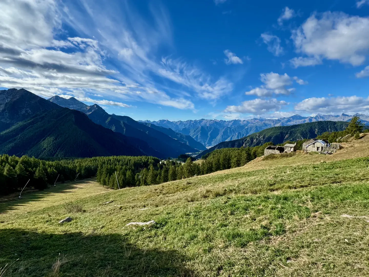
A peaceful walk to a refuge nestled in the wide rocky basin at the foot of Punte Valnera and Valfredda. The hut can be an excellent base for many walks in the surrounding area to the countless lakes or interesting peaks.
Description
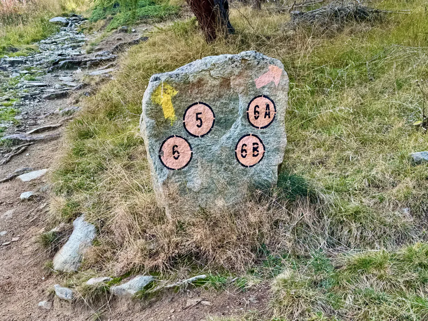
0h00' 0.00km From the signposts showing the main paths in the area, take a farm road which, after about 50 metres, meets a fork.
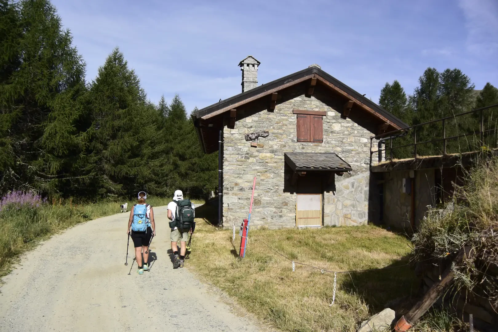
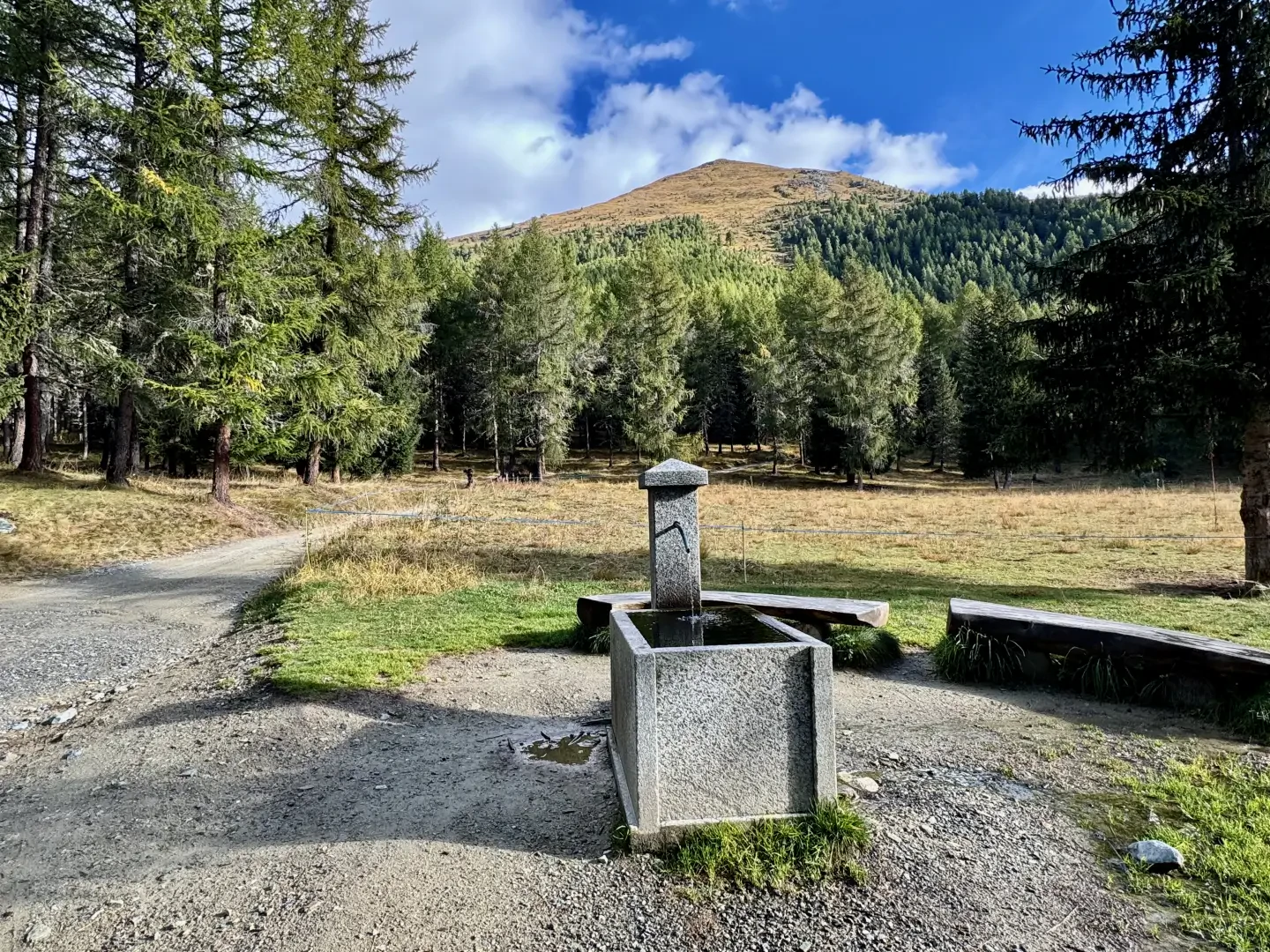
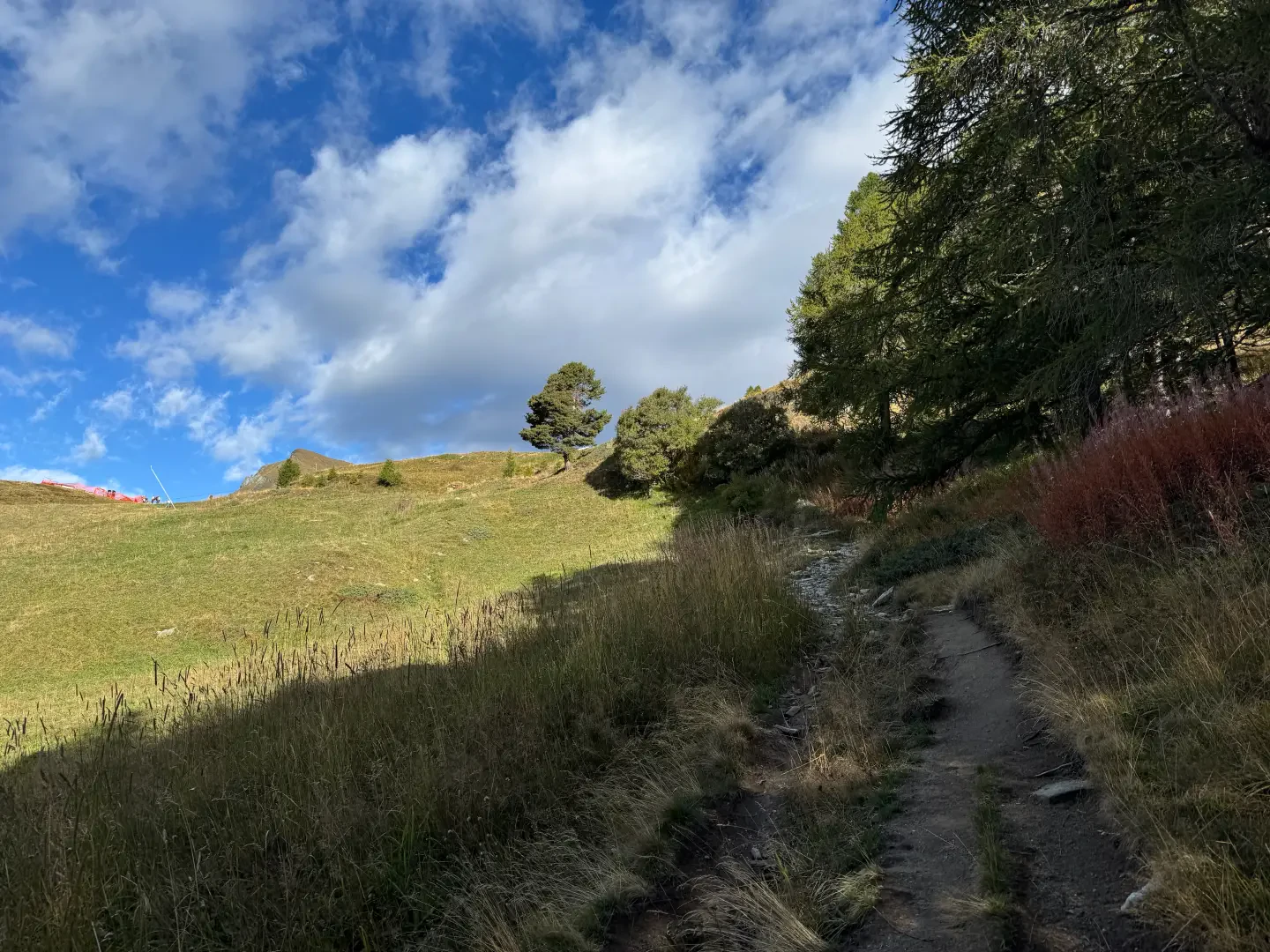
0h01' 0.05km Continue straight on, ignoring the signs for the Moucherolaz mountain pasture (1925m), and proceed on the level, leaving the isolated house of Prapitou (1886m) on your right, until you come to a fork. Keep to the right and begin the ascent in the presence of the antecedent of Mont Bieteron, leaving the pasture to enter the larch forest (Larix decidua). After a bend to the left, you reach a shelf with a fountain 💧 and a new fork. Continue straight on, following the signs for Rifugio Arp along the path. A little further on, near Fontaine (1903m), leave the farm road to take a path to the right that crosses the larch forest and leads to the right-hand edge of the ski slope. The path becomes a mule track as the gradient increases slightly and, in a short time, a fork is reached.
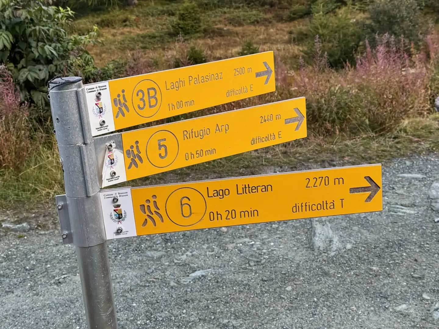
0h20' 0.85km Keep to the left and continue up the slope along the mule track to the right of the ski slope, until it joins the dirt road again, where you will come to a new signpost with directions to the hut.
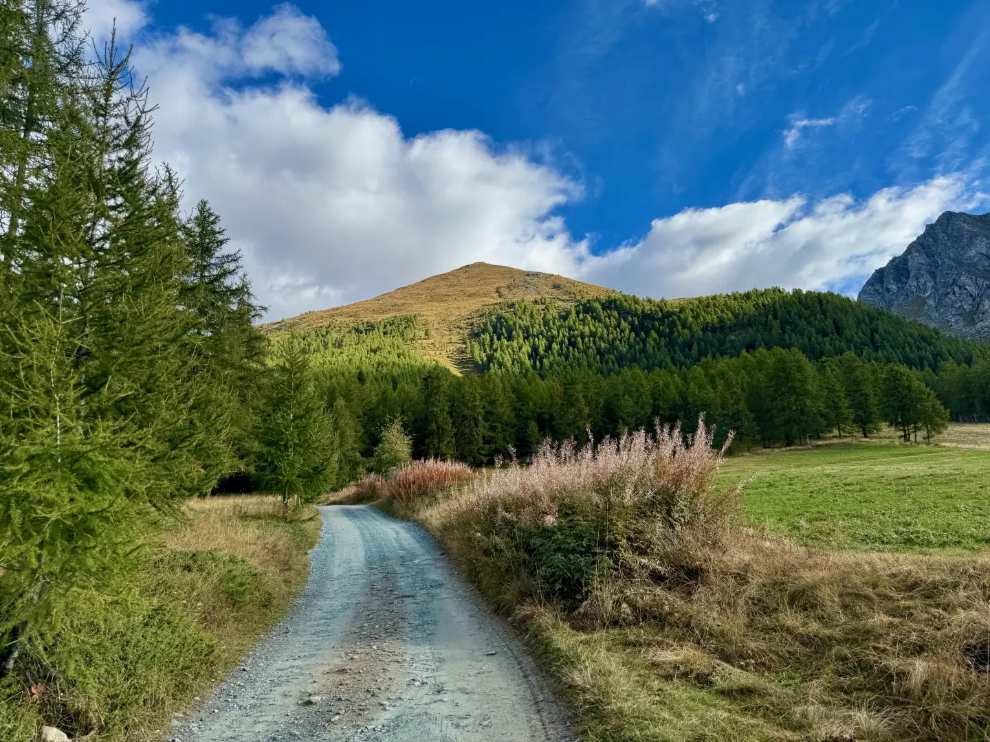
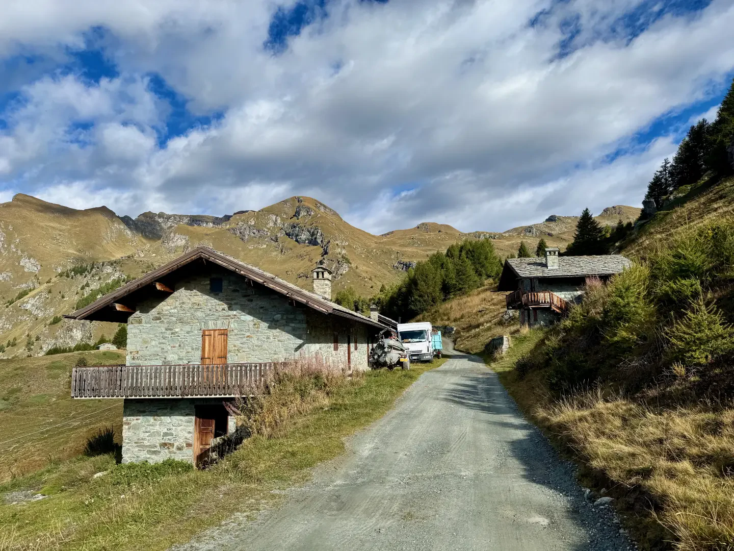
0h30' 1.10km Turn left and follow the road, which soon passes above the hamlets of Chanlochère (2012m), offering interesting views of the lower Val d'Ayas and the peaks of the Glacier-Mont Avic group. The road follows a few hairpin bends and leads onto the grassy slope crossed by the ski lifts and, a little further on, the hamlets of Chavanne (2107m). After a short flat section, the road begins to climb again until it reaches a hairpin bend, where a marker post is located (2107m).
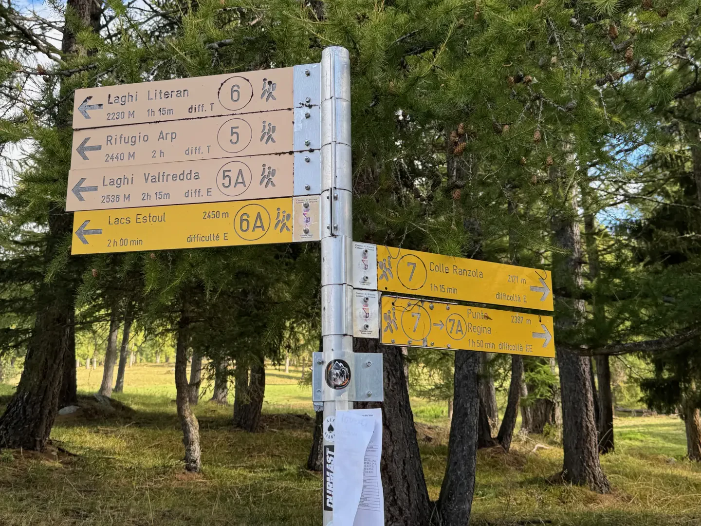
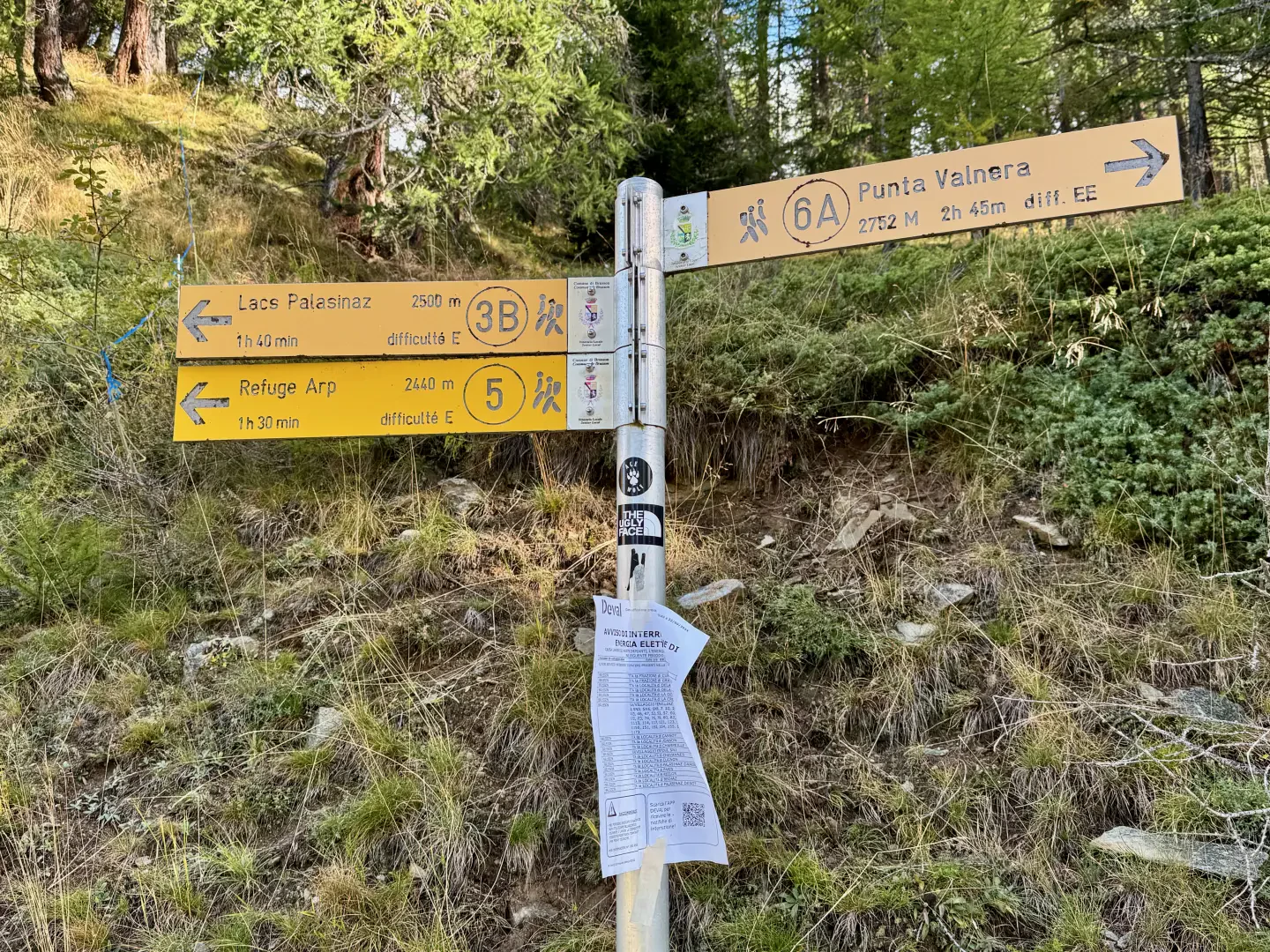
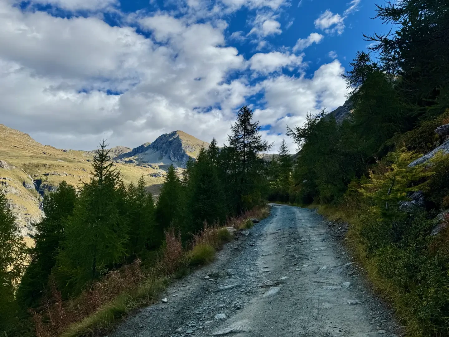
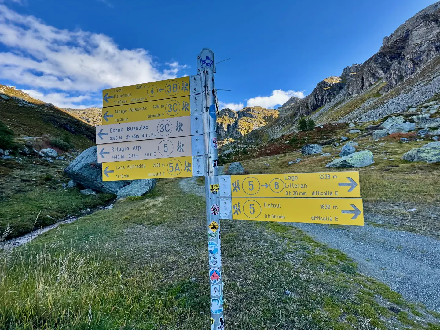
0h55' 2.14km Neglect the path for the Lacs de Palasinaz and continue on the dirt road, which, after a couple of bends, continues on the orographic left of the Messonère stream. Proceed slightly uphill between a few sparse larch trees, with the imposing mass of the Punta Valfredda in the background, until you come to a new signpost (2172m).
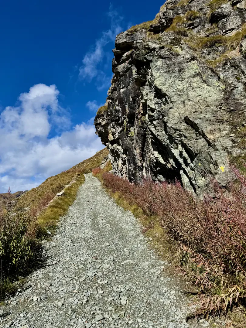
1h05' 2.80km Disregard the path to Lac Litteran and continue on the road, which, on a slight ascent, skirts the steep north-western face of Mont Bieteron. After a slight turn to the left, the road reaches a crossroads with a signpost (2231m).
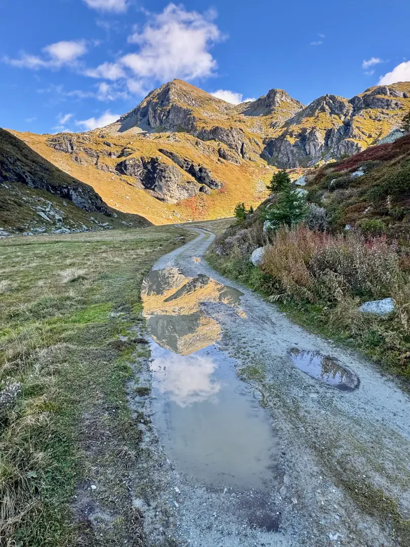
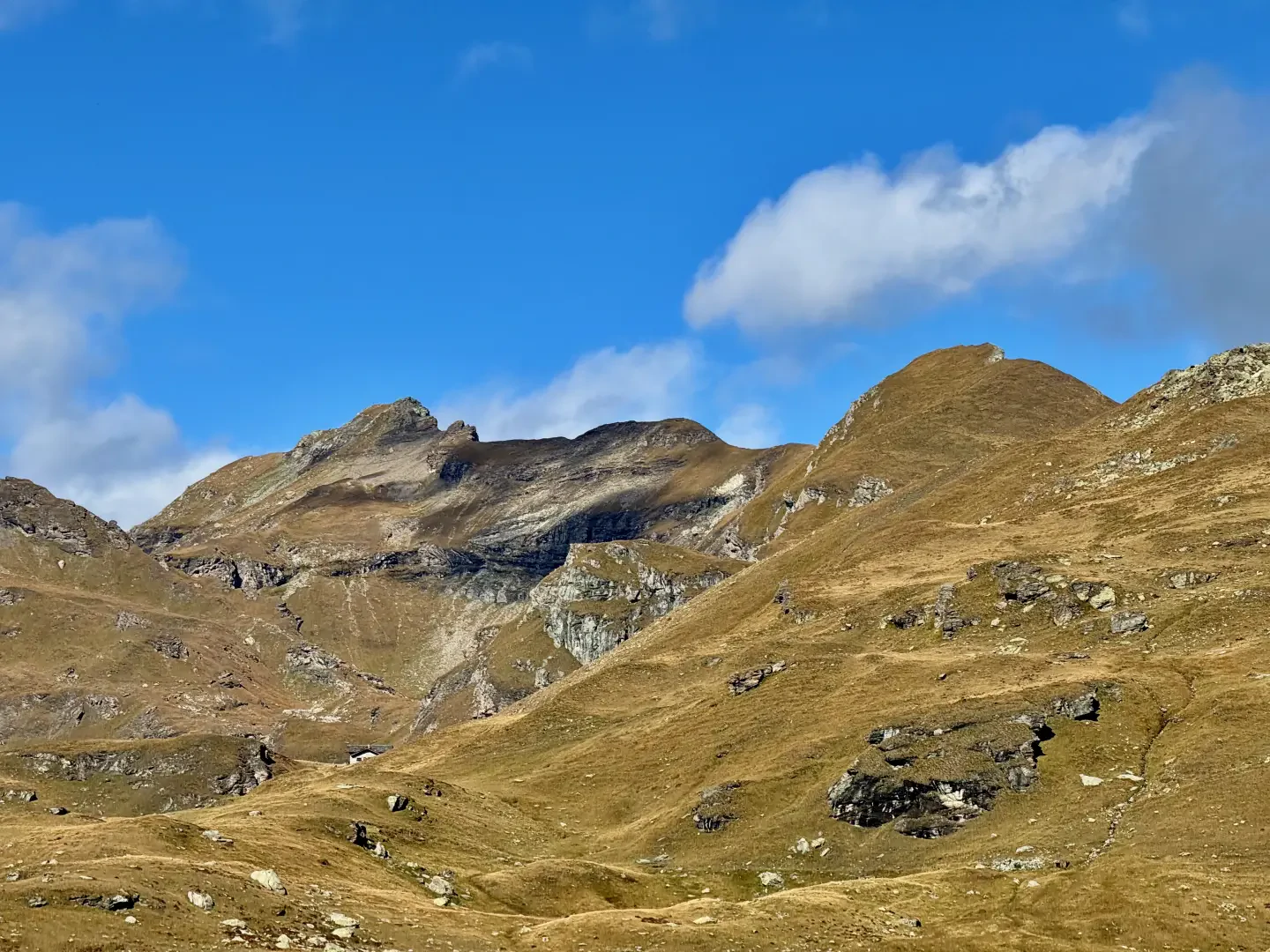
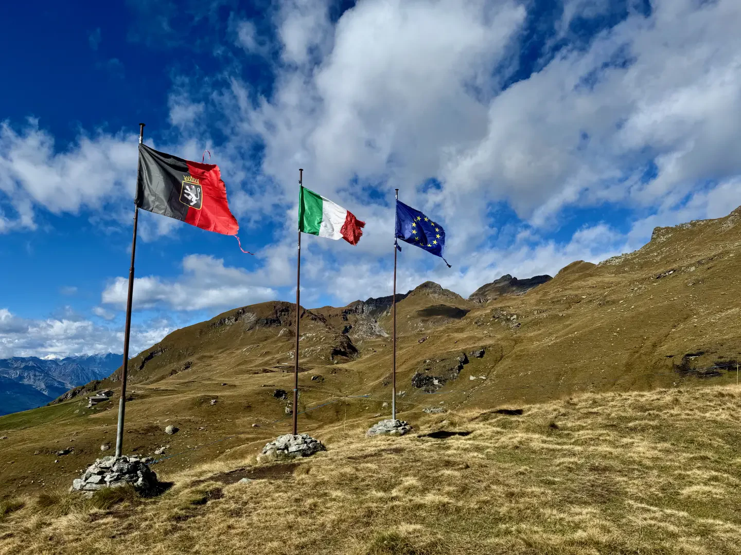
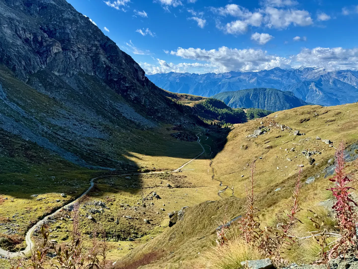
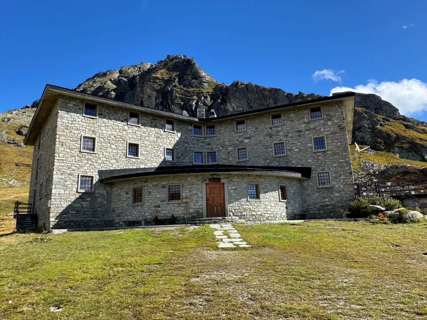
1h20' 3.73km Turn right and follow the road as it enters the green plateau at the foot of a rocky cirque formed below the Valfredda and Valnera peaks. The road continues flat until the end of the plateau, then begins to climb the rocky prominence that precedes the hut. It quickly gains height with two wide hairpin bends, then follows a long ascending diagonal that passes below the rocky crags. After catching a glimpse of the flags, the road joins the shelf where the Arp hut (2245m) is located 2h00' 5.38km .
The return is made by retracing the same route followed during the ascent 1h15' 5.38km .
.Points of Interest
Collections
Galleria fotografica