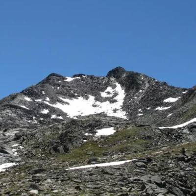
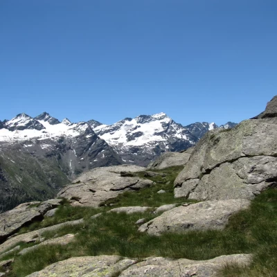
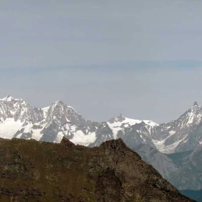
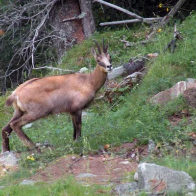
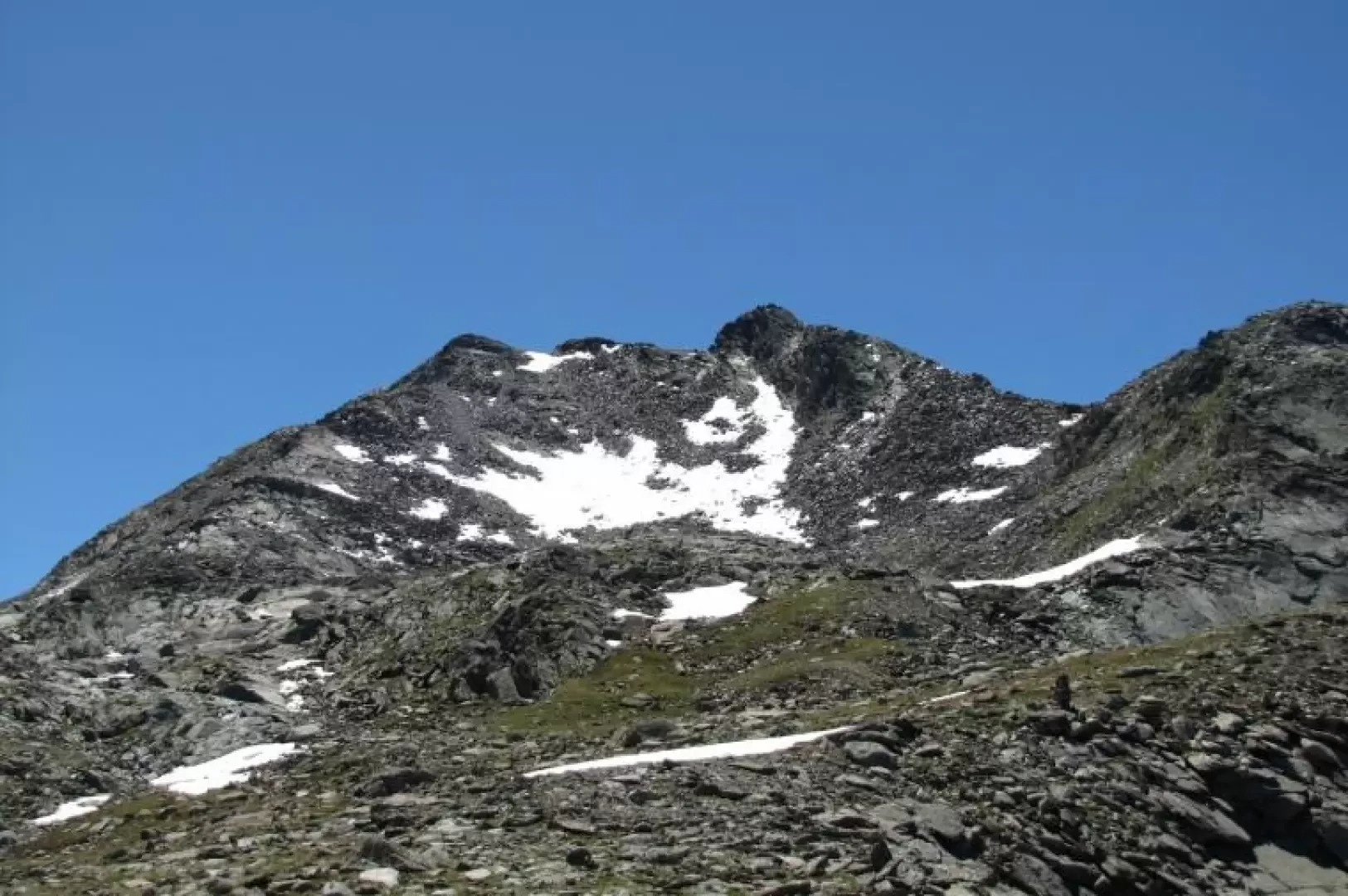
Punta Fenilia, from Lillaz
Access
At the motorway junction of Aosta Ovest turn right and take the road to the Cogne valley. Drive through the village of Aymavilles and after 1.3 kilometres at a roundabout take the second exit. Go up the regional road for 19 kilometres passing the villages of Vieyes, Epinel and Crétaz until you reach a roundabout: take the second exit following the signs for Lillaz. Continue on the communal road for about one kilometre until you meet another roundabout: continue straight on for another 1.8 kilometres until you meet the large free car park 🅿️ in Lillaz.
[0h32'] - [24.0km]
- How to get there with GMAPS
- How to get there with Apple Maps
The information provided here has been verified as of the date of the route survey. Before setting off, you should ensure that no substantial changes have occurred on the route to the starting point. We therefore recommend the use of the satellite navigation apps provided by Google or Apple for up-to-date and detailed directions.
Description
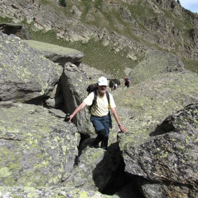
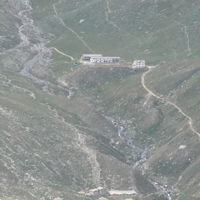
From the Salassi di Lillaz campsite, cross the bridge and follow the signs for Fenilia (trail 16) . Leave trail 16 and follow trail 17, which descends gently and at first takes you past two boulder rockslides, following the cairns.
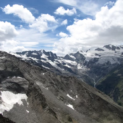
Once you have recovered the trail, you reach a large cairn with a beautiful view of Valeille.
With a small, sometimes uncertain path, but following the cairns and yellow signs, you cross the grassy ridge above, leaving punta Vigeusaz to the right and reaching the peak and the scree above it.
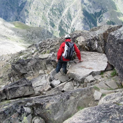
We cross this scree on an excellent track arriving at the col to the south of the main summit.
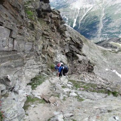
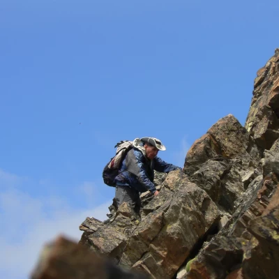
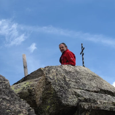
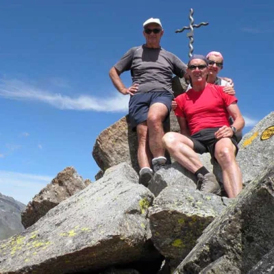
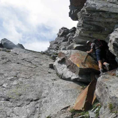
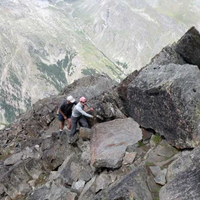
We comfortably traverse a steep slope to the north on the Valnontey side and then overcome on tracks the few metres of rocky cliffs that lead to the small, airy summit.
Attend for four to five hours.
