Praz Orsie, from the Blanchet car park


Edited by:
Massimo Martini
Updated at: 24/06/2025
Access
Leave the motorway at the Verrès junction. Enter the roundabout and take the third exit to join the Strada Statale in the direction of Aosta. After about 450 metres, at the next roundabout, take the first exit and continue on the state road for another 1.3 kilometres. Turn left onto the regional road with indications for the Champdepraz Valley and the Mont Avic Park.
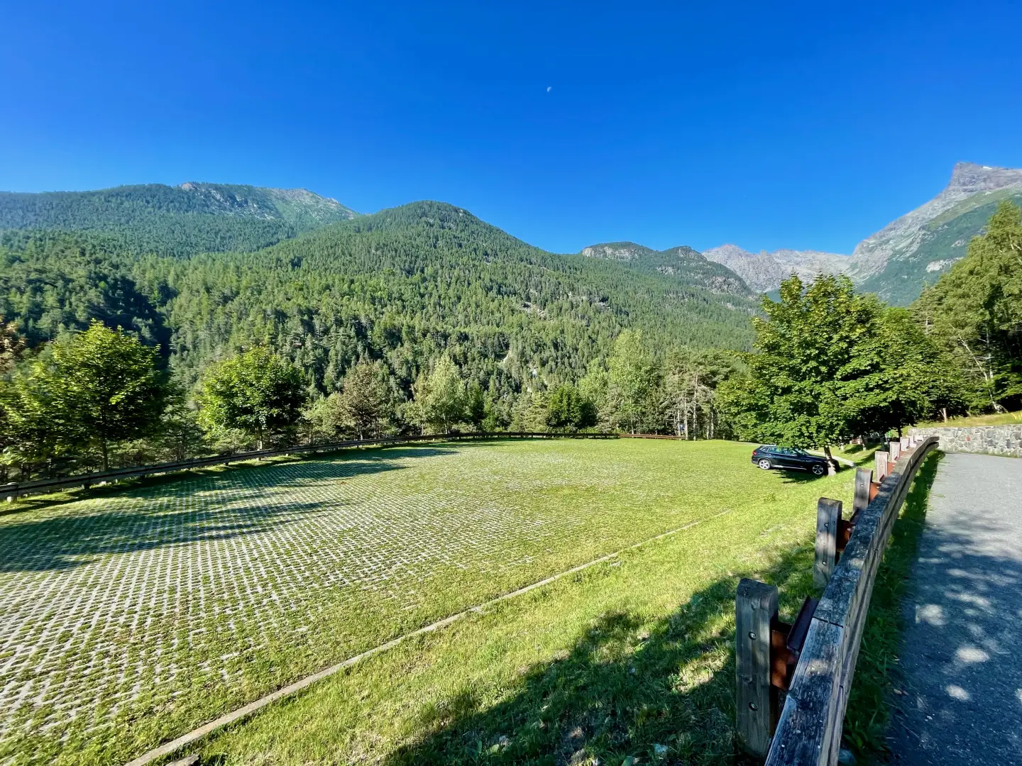
Go up the for about 10 kilometres, passing the village of Champdepraz and heading into the valley. When you reach the panel with signs for Blanchet and Fusse, turn left and follow the municipal road for about 200 metres. Reach the large free car park 🅿️ and leave your car.
In the summer period (July and August) there is a Trek Bus Avic shuttle service that runs from Verrès to Chevrère (Covarey), home to the Mont Avic Park visitor centre. You are advised to check timetables and availability on this site.
Distance and travel time
🕒 Travel time: 23 minutes
📏 Distance: 11.7 km
GPS navigation
📍 How to get there with Google Maps
📍 How to get there with Apple Maps
ℹ️ Important note
The directions given were verified on the date of the survey of the route. Before departure, it is advisable to check for any changes to the route. For up-to-date and detailed directions, we recommend the use of Google Maps or Apple Maps.
.Introduction
This walk takes place on the southern slope of Mont Barbeston, inside the Mont Avic Natural Park, along an easy path with a good difference in altitude, passing through varied and well-preserved environments. The itinerary leads to Praz Orsie, a panoramic mountain pasture from which the view encompasses large sections of the park, Mont Avic and, in the distance, the peaks of the lower Val d'Ayas. Along the way, several information posts accompany the hiker with naturalistic hints and local curiosities. Just above the mountain pasture, an orientation board helps to read the landscape and recognise the peaks. Also located in the same complex is the "La maison du lord" agritourism, a refreshment point and direct sale of cheese. Without being too demanding, the route lends itself to those who wish to calmly immerse themselves in the rhythms and landscapes of the high mountains of the Aosta Valley, which are particularly fascinating in the slanting light of the mid-seasons.
Description
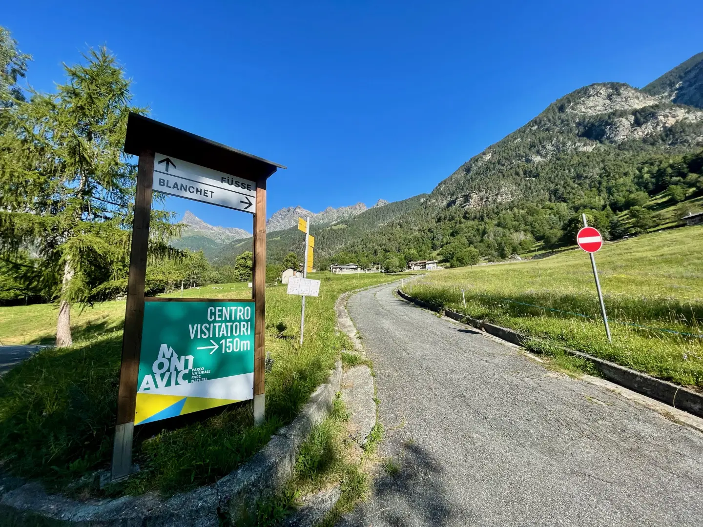
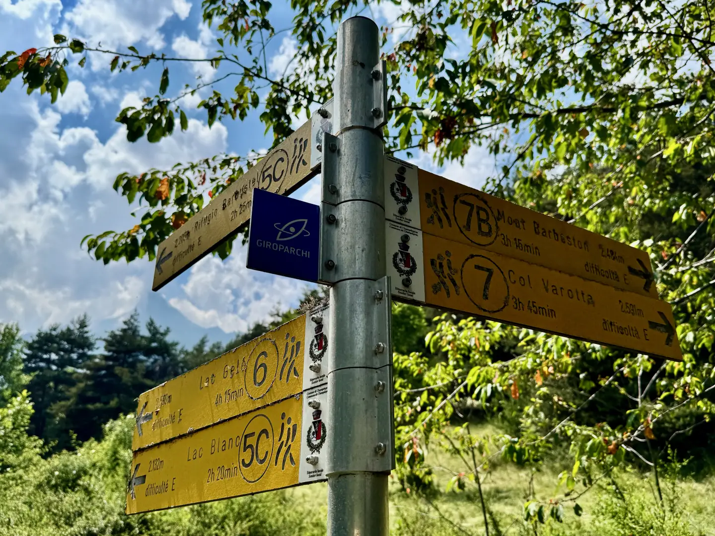
0h00' 0.00km Leave the car park by following the tarmac road back to the signpost at the crossroads.
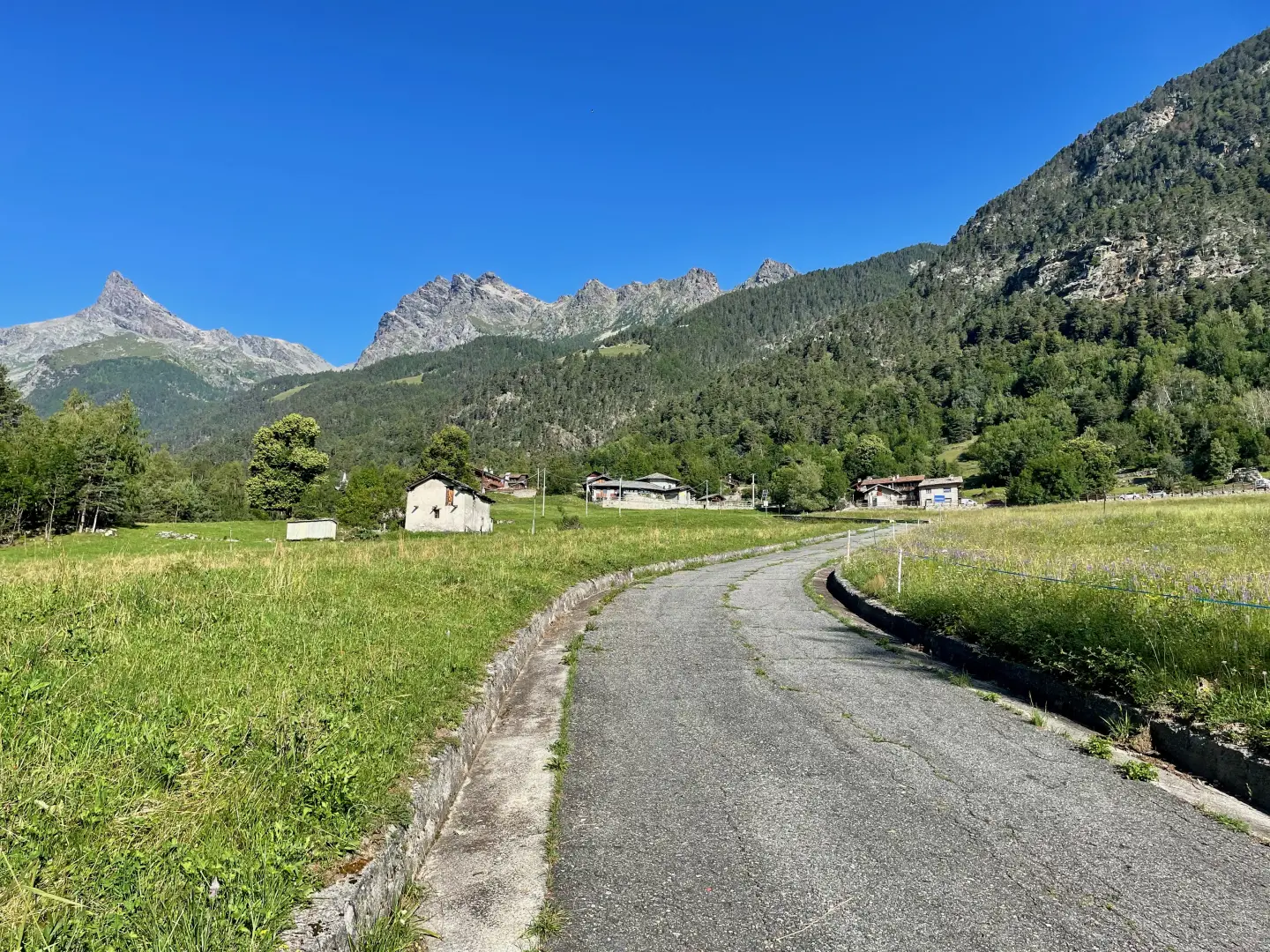
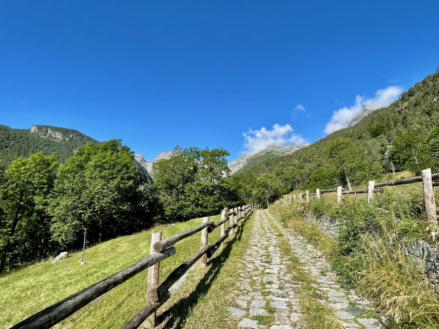
0h02' 0.12km Turn left and go up the small asphalt road that crosses the open pastures of the Blanchet locality. Continue along the steady ascent, where the tarmac gives way to a paved road, until you reach the first houses of the village of Covarey.
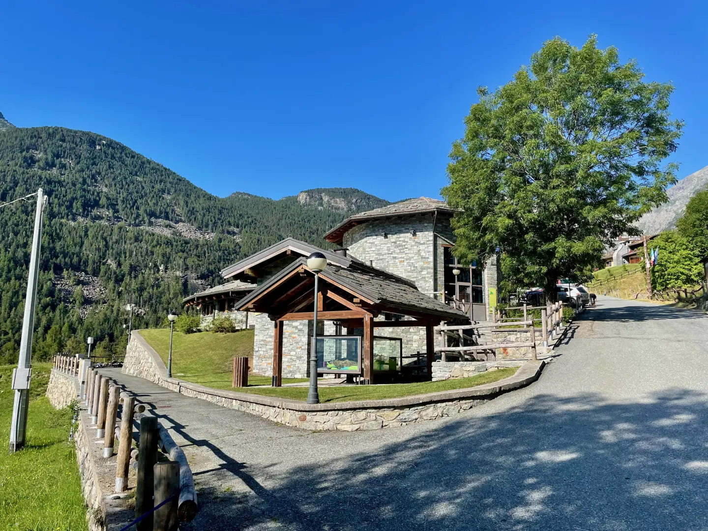
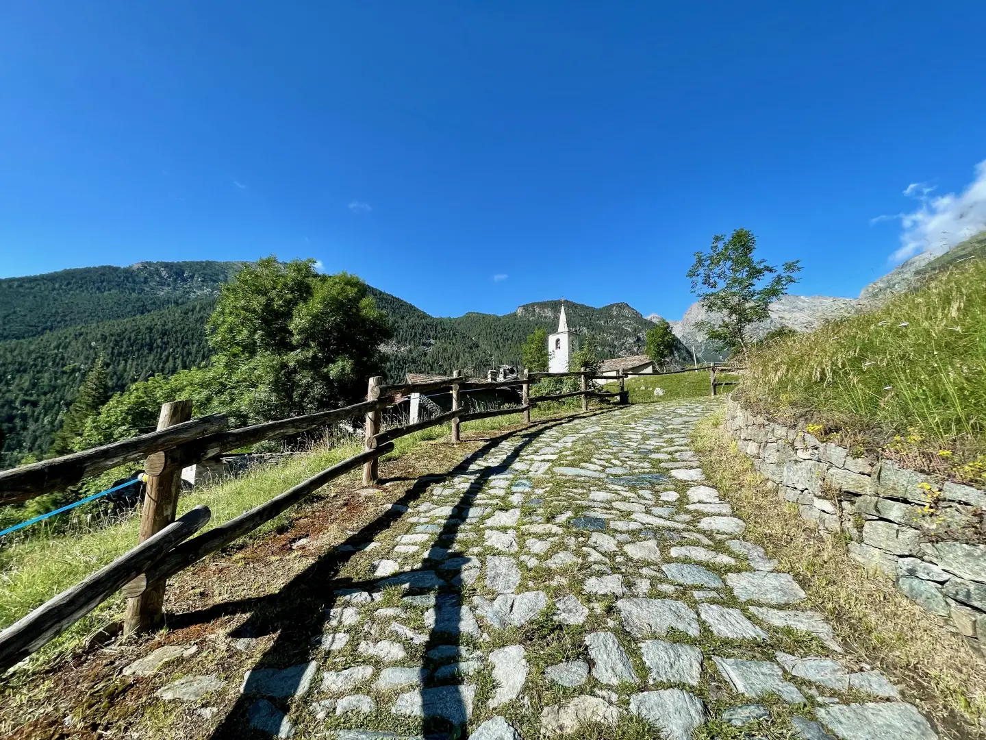
0h10' 0.39km Turn left again along the tarmac road. Pass a fountain 💧on the right and drive past the Mont Avic Nature Park Visitor Centre, recognisable by its wood and stone structure. Continue without any detours as far as the car park in the hamlet of La Ville (Veulla).
0h20' 0.67km Follow the agricultural track, leaving the chapel dedicated to the Madonna delle Nevi on the left and continue slightly uphill through the pastures. Skirt the Parc Animalier, cross the stream on a small wooden bridge, enter the forest and make two sharp turns (first to the left, then to the right) to a new marker.
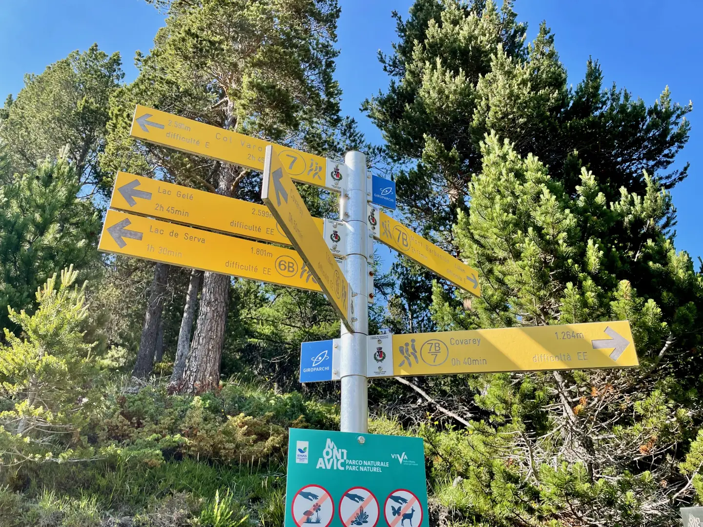
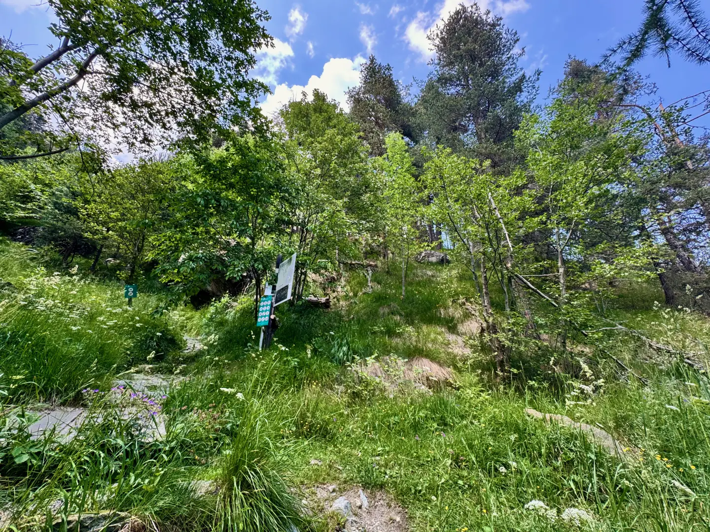
0h35' 1.28km Turn right, taking an easy path that immediately enters the wood, which is composed mainly of Scots pine (Pinus sylvestris). The path, which is steep at first, quickly gains height until it crosses the level path that runs alongside the ancient Ru Chevrère, which marks the boundary of the park.
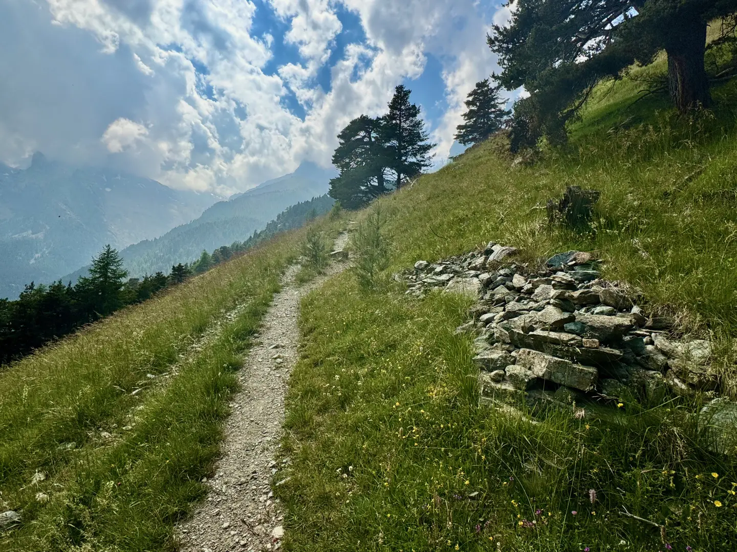
01h00' 1.74km Continue straight on, then turn left up the forest along a long diagonal ascending path with a moderate gradient. After crossing a stream, the path makes a few turns before coming out onto a short clearing, from which there are panoramic views of the park's peaks. The trail briefly re-enters the forest before reaching a marker post (1510m).
1h45' 2.71km ontis turn left and head towards the mountain pastures. A few minutes' walk among the pastures and you reach Praz Orsie (1794m) 1h50' 2.67km .
The return follows the same route as the outward journey, retracing the path until returning to the starting point at the Blanchet car park 1h00' 6.15km .
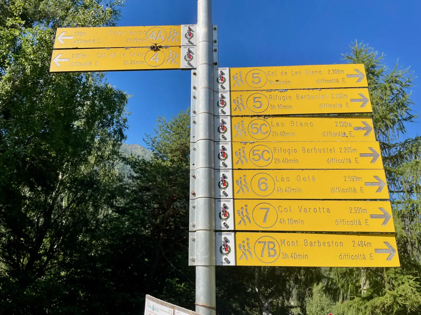
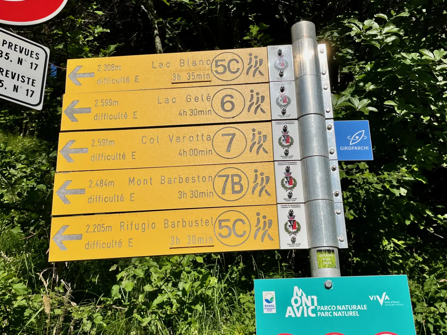
Point of Interest
Collections
- hikes starting from the Blanchet car park - on the map
- hiking in Champdepraz - on the map
- hiking in the Mont Avic Park - on the map
- hiking in the alpine pastures of the Aosta Valley - on the map
Galleria fotografica