Pogallo, from Stork

Edited by:
Maria Grazia Schiapparelli
Updated at: 08/06/2025
Access
Exit the A26 at Gravellona Toce and continue in the direction of Verbania. At the roundabout entering Verbania (locality Fondotoce) turn left for San Bernardino Verbano-Parco Val Grande. Continue for a few kilometres along the provincial road that passes through Bieno; pay attention to the signs indicating the Park, turn left for Rovegro-Santino-Parco Val Grande, and from Rovegro continue to Cicogna on a road that was wide at first, but in the last 8 km, although paved, is very narrow, to the point that for a good part of the route, if you cross a car, one of the two must back up to the nearest small widening. There are not many widenings, and they are small, so watch out for oncoming cars and stop as soon as possible... Two car parks have recently been built in Stork; leave your car here.
Introduction
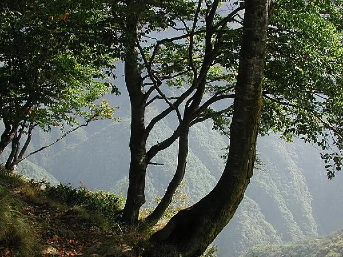
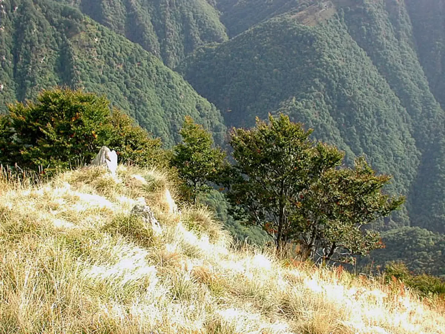
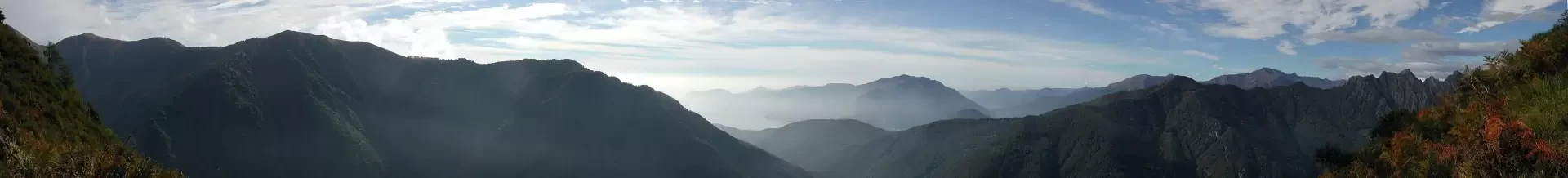
This is one of the easiest routes you can take in Val Grande, but it gives a good idea of the complete isolation of this area, which is considered the largest area of wilderness still in Italy. The route almost entirely under the trees, the fact that the mobile phone does not 'pick up', the fact that you don't meet anyone, as we did in early October, the poorly marked paths (at least in 2003...), give the hiker an ancestral feeling of total solitude, truly exciting, which is rare to experience on our mountains still tamed by inter-park roads and cable cars.
Description
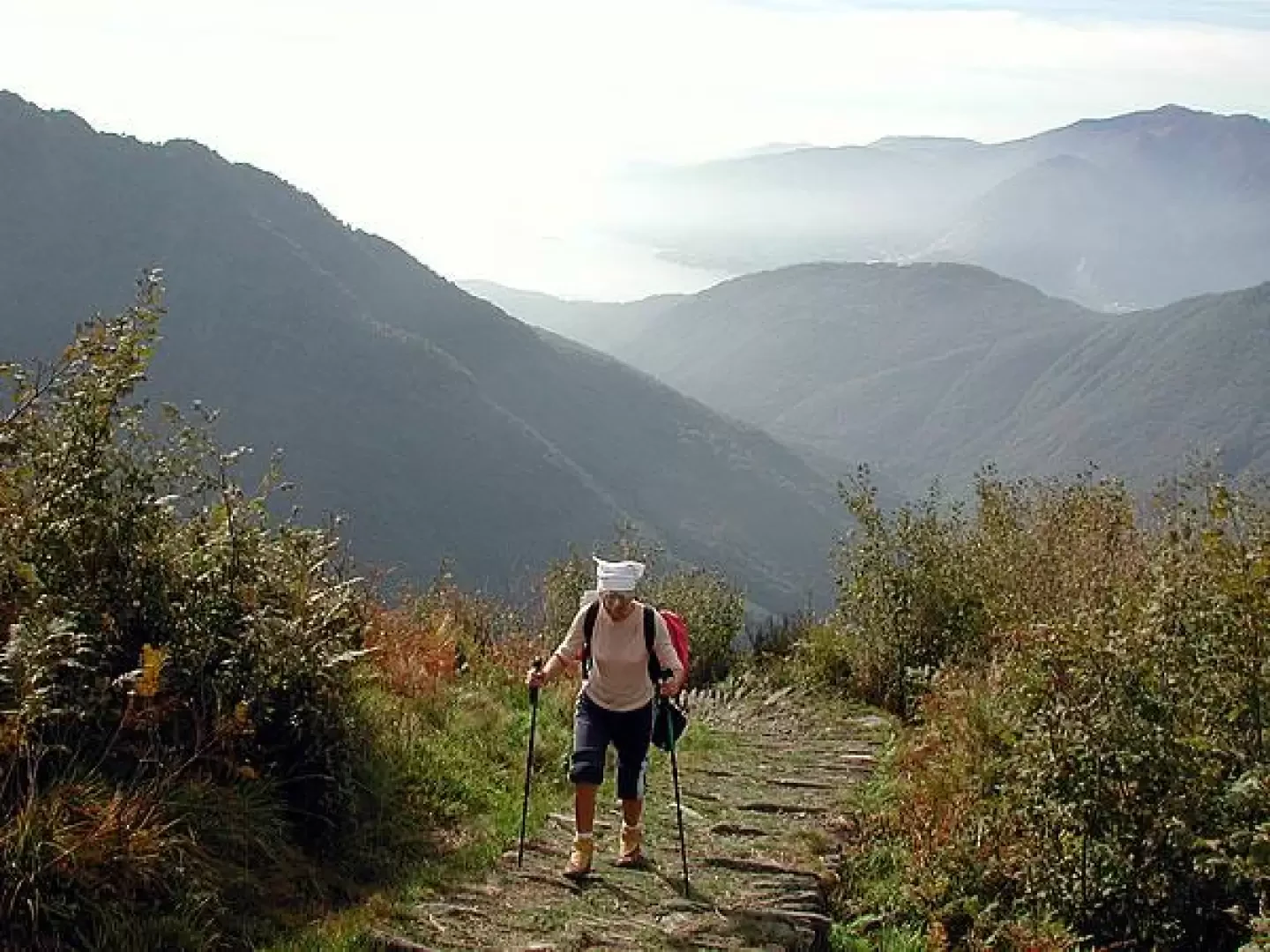
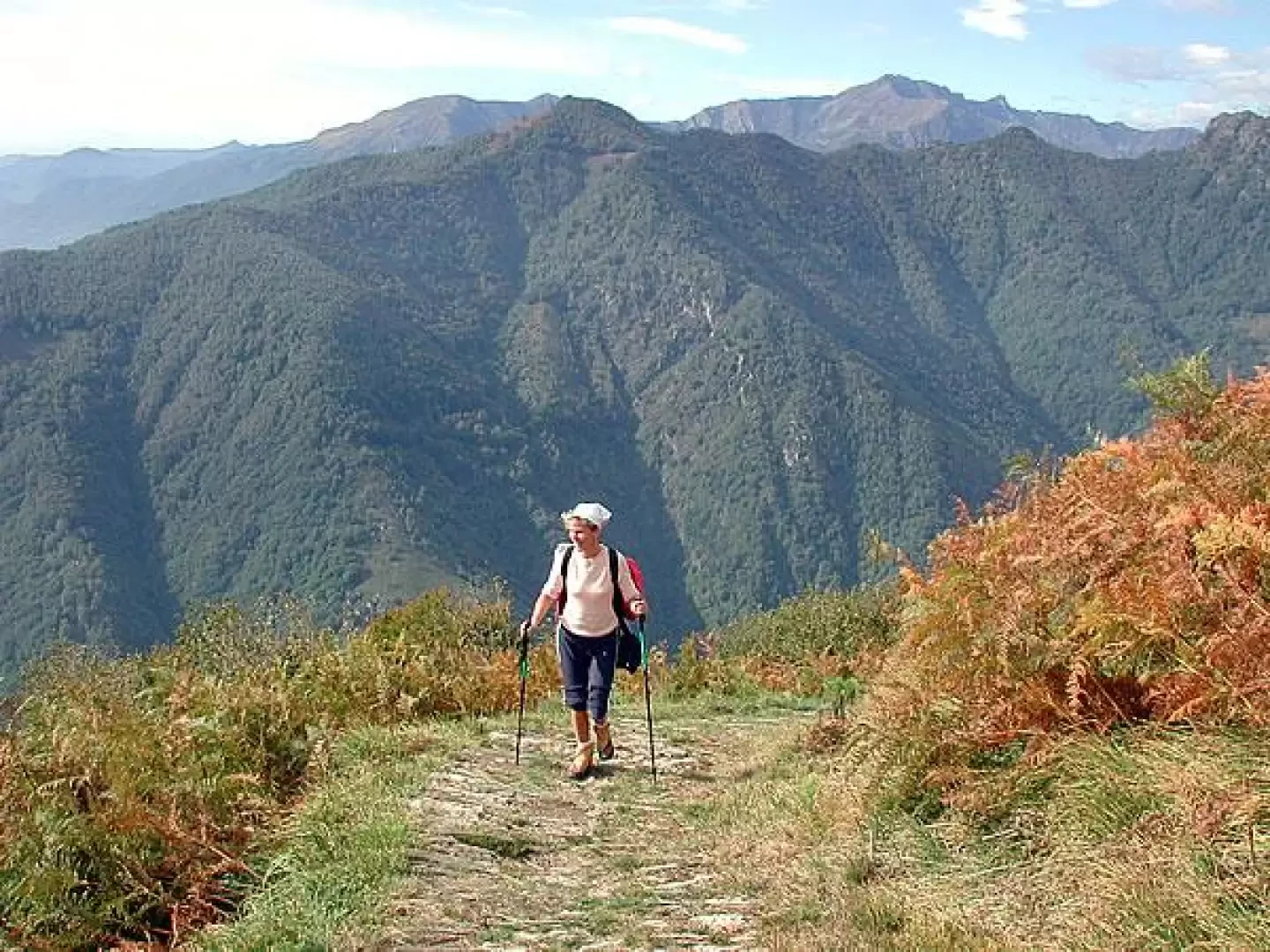
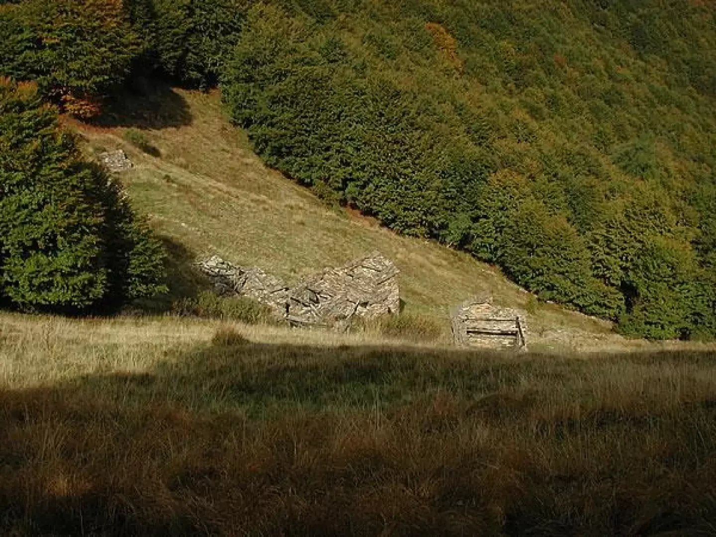
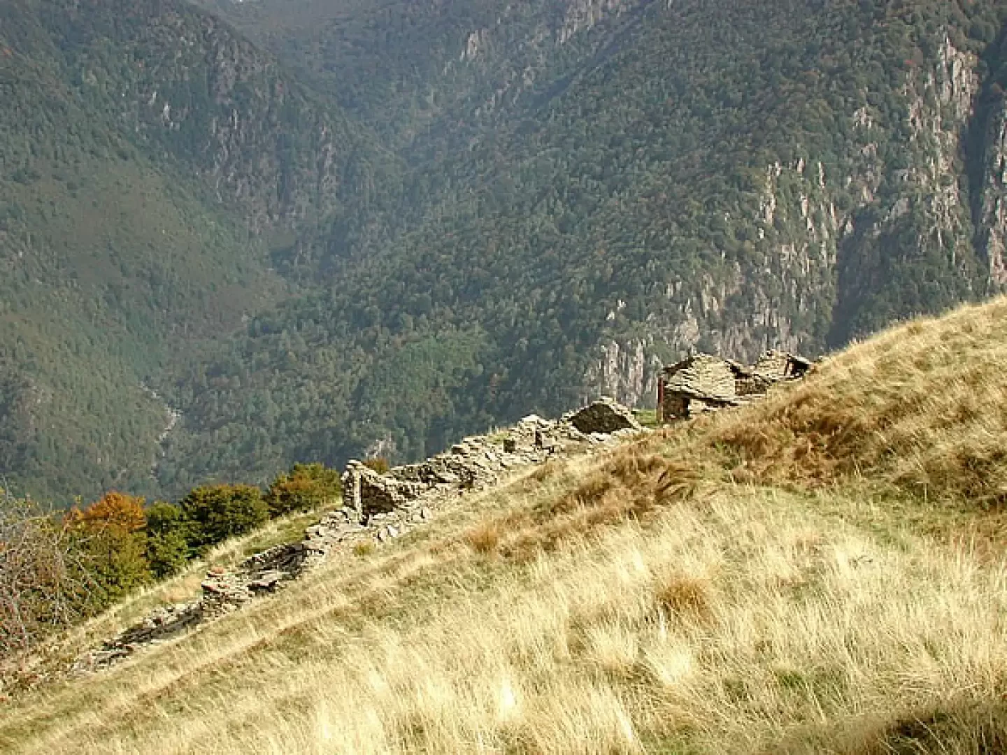
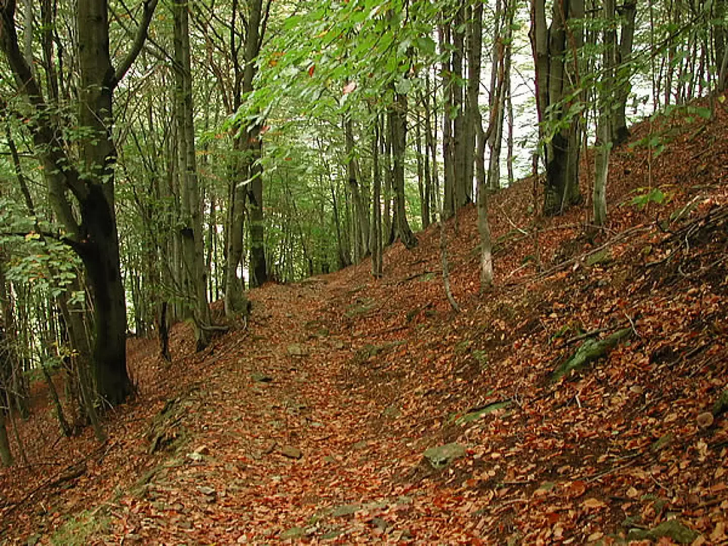
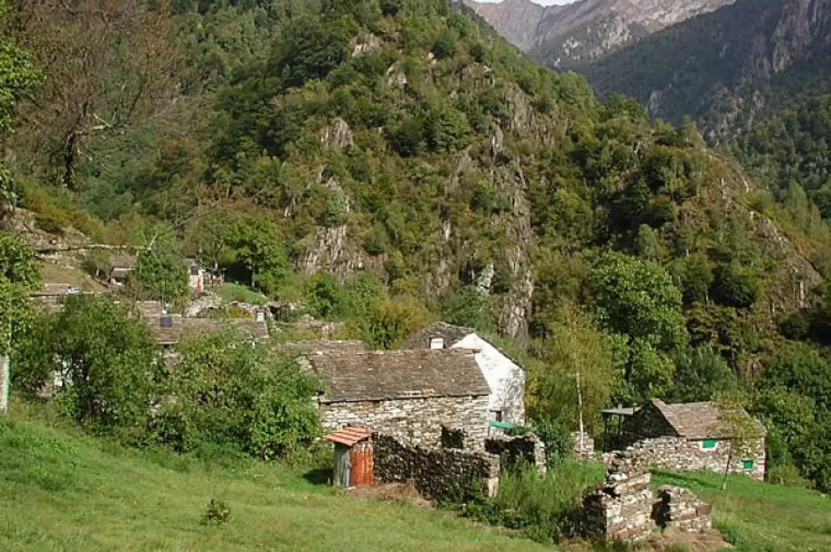
The mule track to Alpe Pra' - Capanna dell'Alpino, starts next to the church (732m), to the left of the fountain, climbs in steps to cross the village, and at the fork continues to the right following an arrow sign. The path winds its way through the forest, at times steeper, at times gentler, passing by some old buildings, and finally coming out of the trees with a beautiful stone staircase; at the turning, the view widens out over the surrounding mountains, we can see Mont Fajé, and continue through the ferns, while Lake Maggiore and Lake Orta appear below us. On the left, we see some ruined corti (alpine pastures), and a large stone with cup-marks and engravings, a sign that this area was already inhabited hundreds of years ago. The refuge is close by, the Italian flag flying on the roof; from the refuge you can see Monte Rosa and the spires of the Corni del Nibbio; it is run by the Intra section of the National Alpine Association (1250m, one hour and forty minutes).
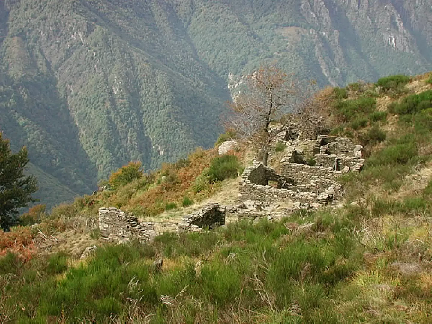
Continue uphill behind the hut, through the beech forest, slightly to the left, and soon reach a notch cut into the rock on the right, which allows passage into the Pogallo valley, wide enough to allow the passage of animals that used to go to load the corti (i.e. go up to the mountain pastures in the summer season). Just beyond the passage, the panorama opens out over the entire Pogallo valley; we descend to the right, towards the Leciuri alp, which is also abandoned, and below, we spot the Pogallo courtyard among the trees. Pogallo is famous because it was the scene of tragic events during World War II, and because it was the centre of deforestation in the early 20th century. The first part of the descent is over pastureland, then the path enters dense woodland, watch out for cairns, it is not very well marked, and descends in hairpin bends to the chapel at Cima Selva; until 1904, the year in which the path along the Pogallo stream was finished, this was the only way to reach the court. Continue downhill, crossing a few streams, to the Caslù Alp, which is also in ruins, and when you finally come out of the dense woodland, you reach Pogallo (1h 30').
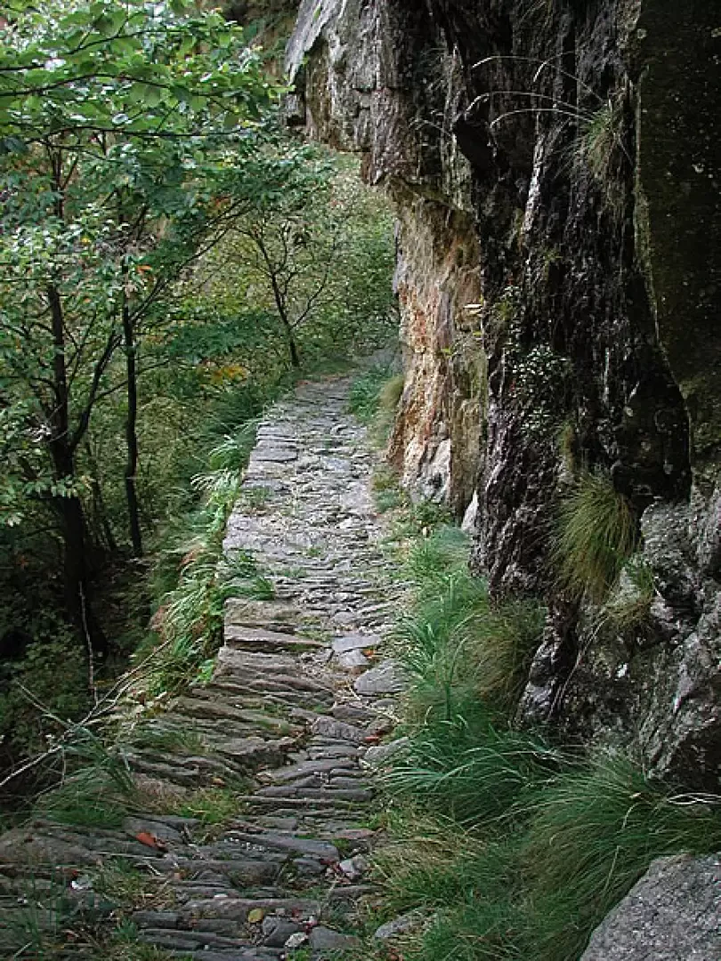
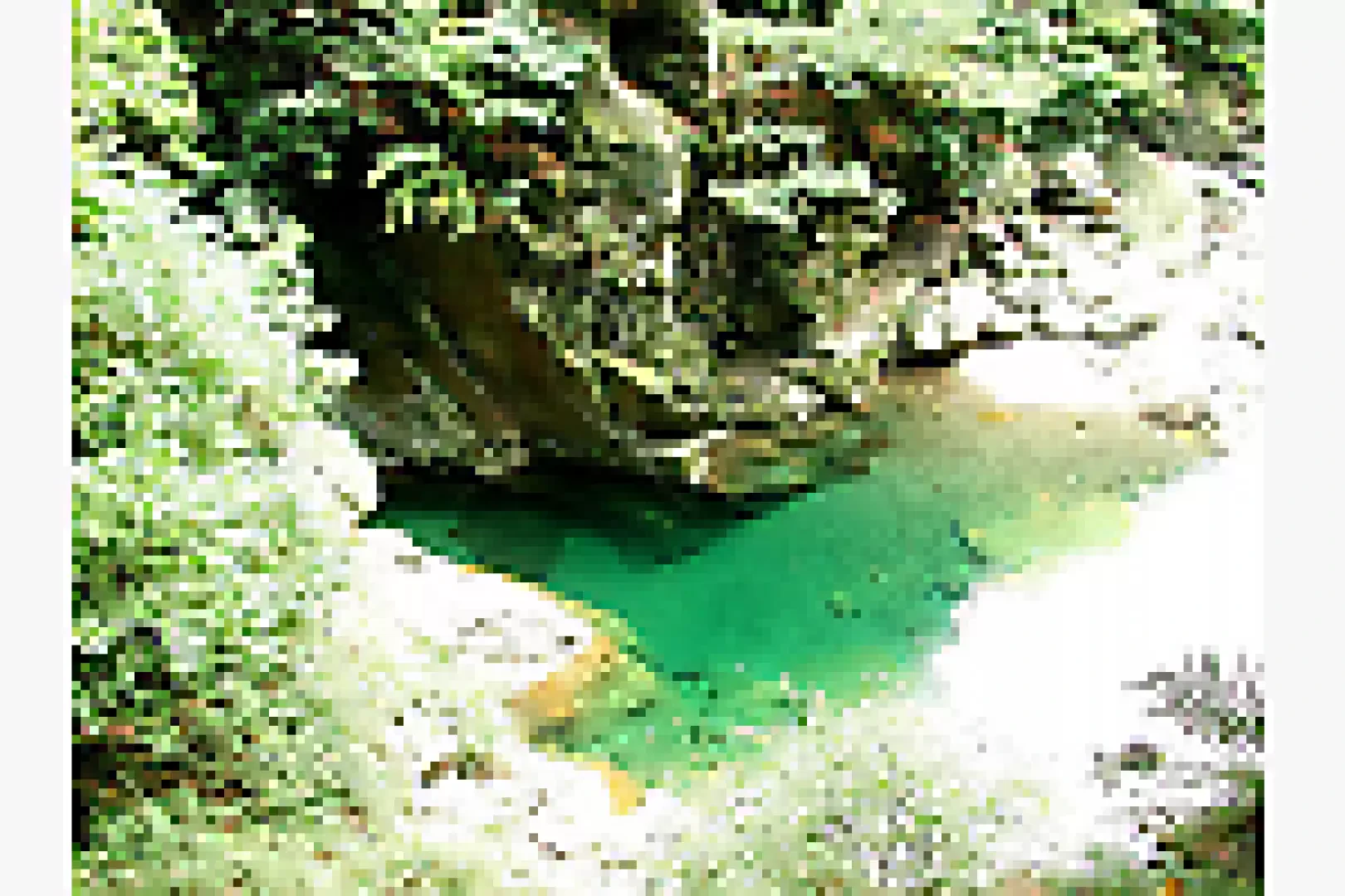
Pogallo is at the bottom of the valley, surrounded by the peaks of the Valgrande. At the dawn of the 20th century, as the numerous signs positioned by the park authority explain, a Swiss entrepreneur, Carlo Sutermeister, inherited his property in Italy from his uncle at only 22 years of age, and transformed this remote corner into a real community; hundreds of workers, some with their families, converged here; The entrepreneur built and fitted out houses, an infirmary, a tavern, kindergarten and primary schools, workshop, bakery, a post for two policemen, all equipped with electric light, and replaced the transport of logs, which was done by lowering them down the stream, with a 10 km long cable car. He also took care of taking out insurance to cover the many accidents that occurred during the logging process. Also dating back to the dawn of the 20th century is the mule track along the Pogallo stream back to Cicogna, a true work of art, made of stone, in places cantilevering over the stream. Having visited the courtyard and refuelled at the beautiful fountain, follow the path that crosses the pastures and enters the woods, on the orographic right of the stream. The water is omnipresent, accompanying us with its gurgling sound, at times subdued, at times loud, at the side of the mule track, on the left below us and along the path, which crosses the streams with several footbridges. The mule track is all in stone, supported by imposing dry-stone walls, with wide sloping walls, it descends and ascends in steps and proceeds with glimpses of the torrent's blades, where the crystal-clear water forms pools, waterfalls and gorges, clear stones polished over the centuries; at one point it is possible to cross the Pogallo stream on a bridge to admire an impressive gorge. The path passes up to a hundred metres from the level of the torrent and then almost skirts it; along the way, many signs from the park authority illustrate the area, which is lush, and also many plaques to remember the fishermen who lost their lives in the torrent because they slipped or were swept away by the floods. The feeling, perhaps also due to not having met anyone along the way, is one of loneliness and total isolation, exacerbated by the fact that we are perpetually walking under trees, mostly chestnut trees. After circumventing a scenic ridge, we return to Cicogna with a slightly uphill route (1h20' - 4h30' in total).
General information
Path:from Stork
Signposts:white/red bolts
Type of route:circular
Recommended period: June, July, August, September, October
Sun exposureeast
Objective Danger:none
Exposed Trails:none
Useful Equipment:normal hiking equipment
Water:Stork, Pogallo
Galleria fotografica