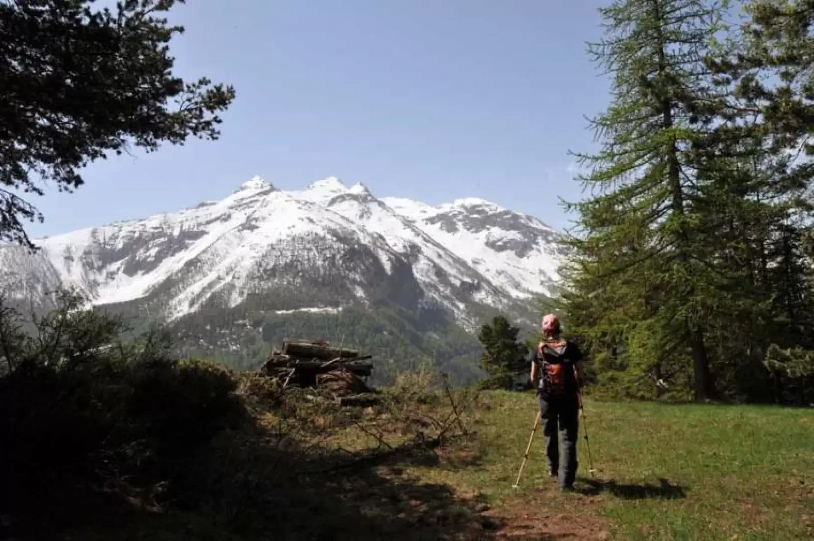
Monte Colombo, from Runaz

Access
From the motorway barrier at Aosta-West, keep left and follow the signs for Aosta - Saint-Pierre. After one kilometre, at the roundabout, take the second exit to join the national road . Continue on the state road for 4.3 kilometres, passing the village of Saint-Pierre until you reach a new roundabout with the Gran Paradiso National Park sign. Take the first exit and continue on the main road for 4.3 km until reaching Arvier and its roundabout dedicated to cyclist Maurice Garin. Take the first exit and continue in the direction of Coumayeur for a further 4.2 kilometres and, after passing through a tunnel, you will come to another roundabout: pass the roundabout for Avise and turn onto the road to the left that enters the village of Runaz. Entering the village, you reach the small car park located inside where you can leave your car.
Turin-Aosta to the Aosta est barrier, pass it and exit at the next tollbooth, Aosta ovest. Follow the signs for Courmayeur and, just after a tunnel, go past the roundabout for Avise and turn left onto the road that enters the village of Runaz. After entering the village, you reach the small car park located inside where you can leave your car.
Introduction
This long hike makes us "explore" a wide wooded slope above Runaz, a hamlet of Avise, on the traces of ancient interval passages towards Baulin in Valgrisenche passing by the few buildings that bear witness to the ancient activities of the valley dwellers. The trail only remains in the open on the summit from where the panorama turns from Emilius to the Grivola and towards Valgrisenche and the peaks of the lower valley of Rhȇmes and Valsavarenche. The return trail, from the junction on the path to Milliery to the crossroads at an altitude of 1662m towards Pesse, has a few poorly marked sections and in its upper part the vegetation begins to cover it.
.Description
From the car park, walk up the tarmac road for a short distance and immediately meet the signposts for the start of the itinerary on the left at a widening. Start walking along the track that climbs gently along the hillside until you come to a marker (873 m) on the right, from which a path enters the beautiful wood, passes next to a drystone wall and after a short distance, you come to the first fork in the path, marked by a marker, at which you continue to the left. You come to another junction with the farm track (1047m), which you practically cross to reach the other marker indicating the continuation of the path, which immediately climbs steeply into the steep coniferous forest. Having laboriously climbed this stretch, we return to the farm track (1271m), which we follow to the left and make a hairpin bend; immediately afterwards, we come to a fork in the road and, ignoring the branch-off that continues straight on, we climb to the left and find, at a grassy widening, the post that directs us again to climb in the direction of the wood (1348m). The itinerary, which is quite steep, passes by a cement boundary stone and arrives near a hut (1649m) where we turn left, passing by some ruins; we continue the ascent into the dense wood and, just past a small building, arrive at the wide summit. On the descent, continue along the continuation of the path that passes next to a ruin and descends on the Valgrisenche side, losing altitude slightly and cutting across the slope below the ridge where you meet the crossroads post that leads back to Runaz (1778m). From here, having about ten minutes to spare, you can make a small digression and continue on the slightly downhill path to the panoramic Milliery huts (1666m). Returning to the post at the previous junction, climb up the mountain ridge with a few hairpin bends and once again gain the ridge of the mountain, where, at the point where the mountain passes the top, there is yet another junction (1857m) marked by a post. Turn right and start to descend, following the path of the Ru de Runaz, which for a long stretch cuts across the wooded slope with a slight incline, passing next to a high wooden pylon. The track cuts across the course of the ru with a few short descents, one of which has been laid out with a wooden staircase, to pick it up again and follow it as far as a tree with two yellow arrows clearly visible on the trunk that make us leave the course of the ru and, turning decisively to the right, make us quickly lose altitude, arriving at another fork with a small post (1662m) at which we continue to descend to the right. We soon reach a farm track (1497m), which we follow for a few metres on the left to take the path to the right that almost immediately returns to it near the beautiful houses of Pesse (1441m), which can already be seen on the left as soon as we return to the road. We now continue along the farm road passing a marker (1414m) with the path that descends to Runaz, which today (May 2009) is completely obstructed towards the middle of its route (1292m) by a dense series of large trees that have fallen onto the path in the woods, and continuing along it we arrive at the marker (1296m) that we had reached on the outward journey and from here, retracing the same route, we return to the car.
.